Columbus is the second largest city and county seat of Cherokee County, Kansas, United States. As of the 2020 census, the population of the city was 2,929. It is located approximately 15 miles south-southwest of Pittsburg.
| Name: | Columbus city |
|---|---|
| LSAD Code: | 25 |
| LSAD Description: | city (suffix) |
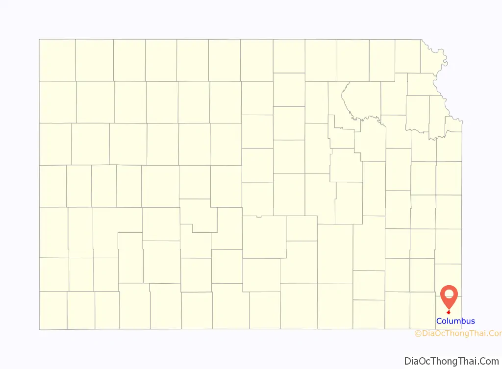
| State: | Kansas |
| County: | Cherokee County |
| Founded: | 1868 |
| Incorporated: | 1871 |
| Elevation: | 912 ft (278 m) |
| Total Area: | 2.39 sq mi (6.20 km²) |
| Land Area: | 2.39 sq mi (6.20 km²) |
| Water Area: | 0.00 sq mi (0.00 km²) |
| Total Population: | 2,929 |
| Population Density: | 1,200/sq mi (470/km²) |
| ZIP code: | 66725 |
| Area code: | 620 |
| FIPS code: | 2015075 |
| Website: | columbusks.gov |
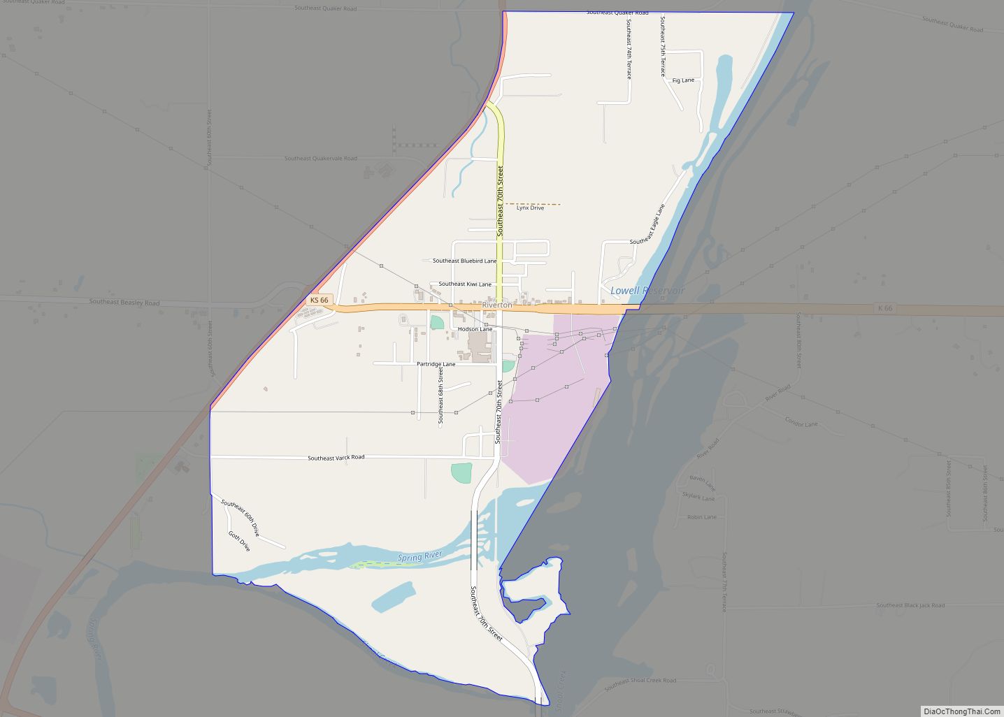
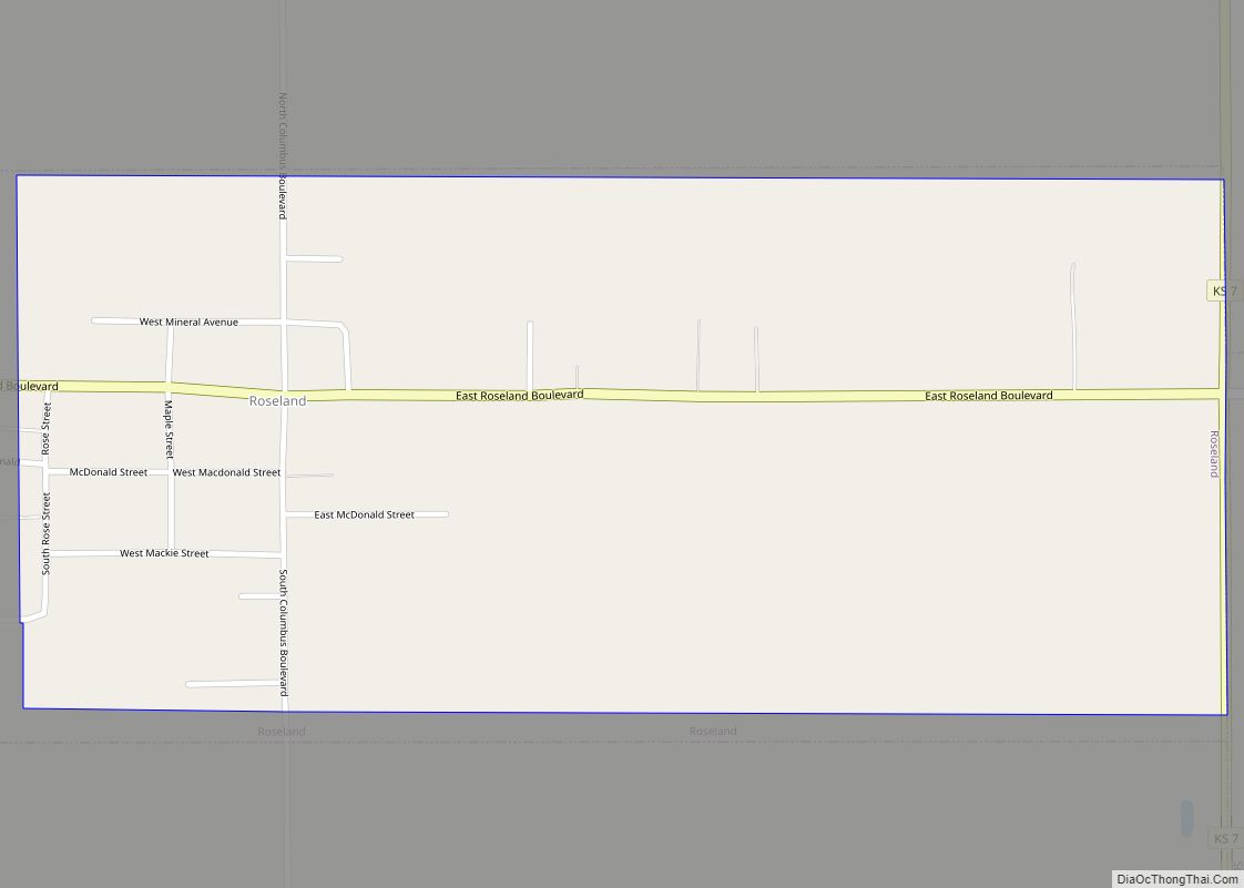
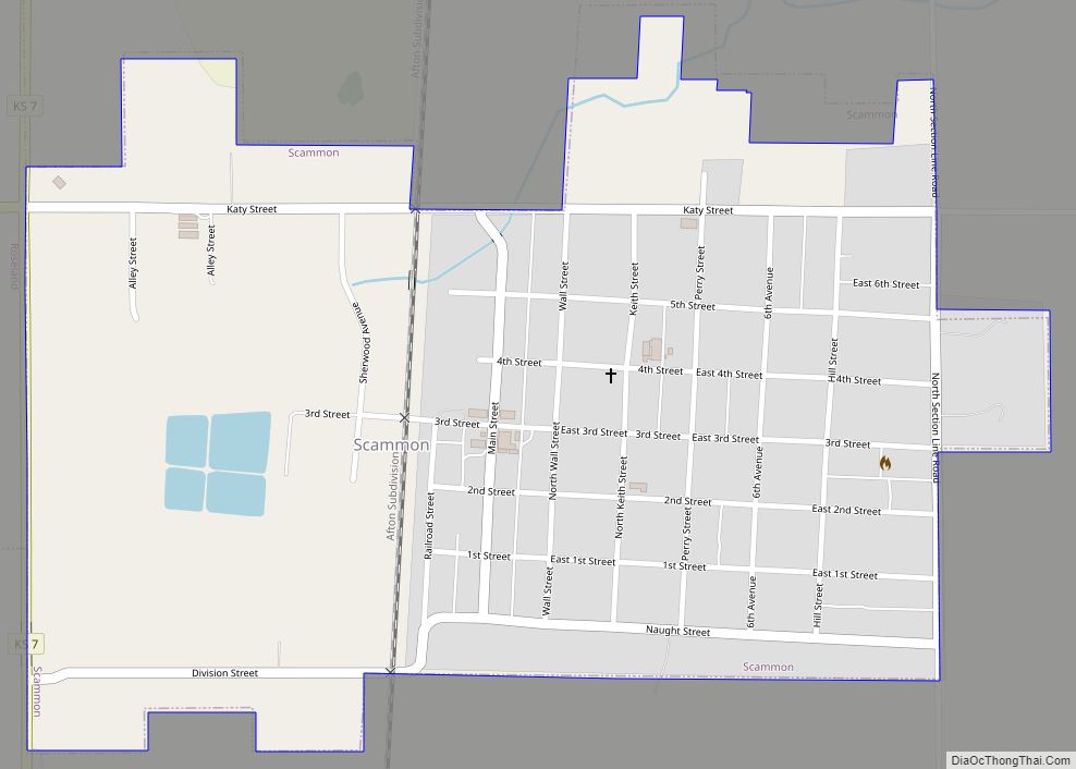
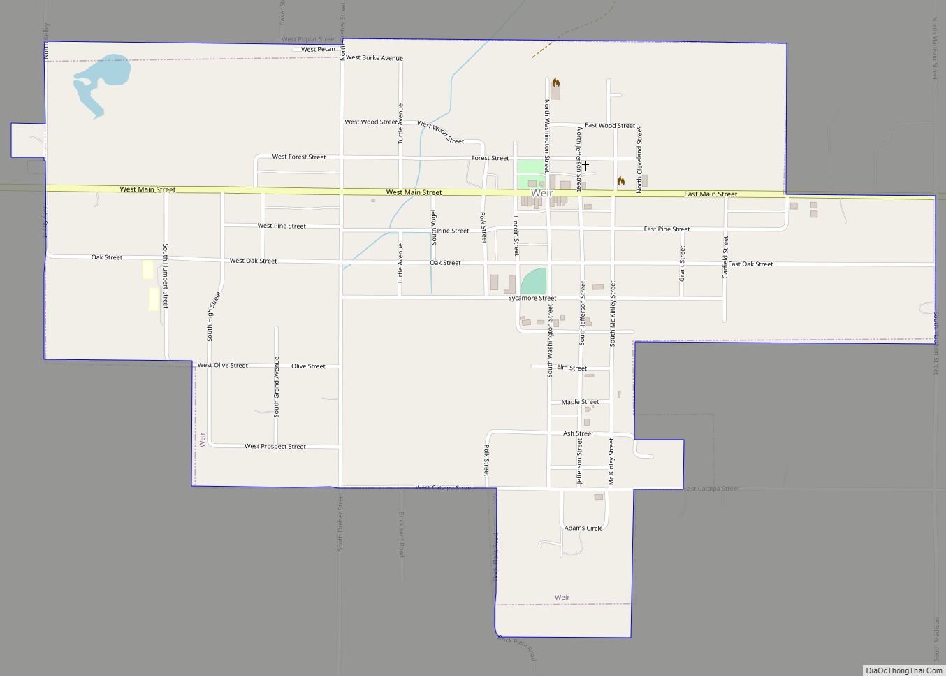
Online Interactive Map
Click on ![]() to view map in "full screen" mode.
to view map in "full screen" mode.
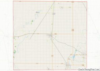
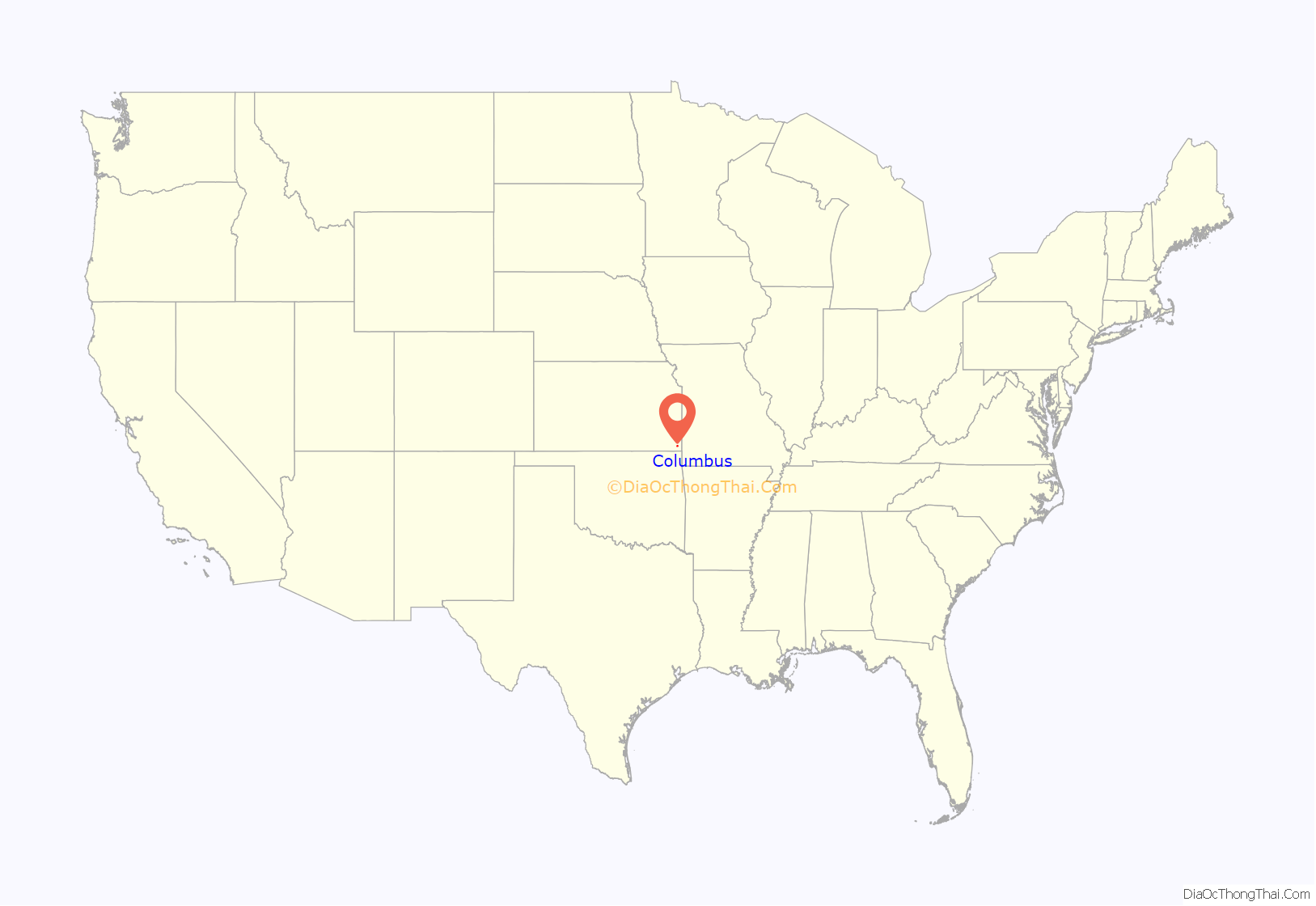
Columbus location map. Where is Columbus city?
History
The first settlement was made at Columbus in 1868. The first post office in Columbus was established in 1869.
Columbus was a railroad junction for the Saint Louis and San Francisco, and the Missouri, Kansas, and Texas railroads. It was named Columbus by A.L. Peters, one of the European-American founders, for his hometown of Columbus, Ohio; the name thus indirectly honors Christopher Columbus, the explorer. Coal, lead and zinc were mined in the region. Columbus had a considerable trade in agricultural products, and its businesses included machine shops, grain elevators, flour mills, a cigar factory, bottle works (soft drinks), a canning factory, and an extensive brick-making plant.
In 1875, Robert A. Long and Victor Bell formed the Long-Bell Lumber Company in Columbus. From one lumberyard, Long-Bell expanded operations and holdings to become one of the largest vertically integrated lumber companies in the United States. In 1956 it was purchased by International Paper.
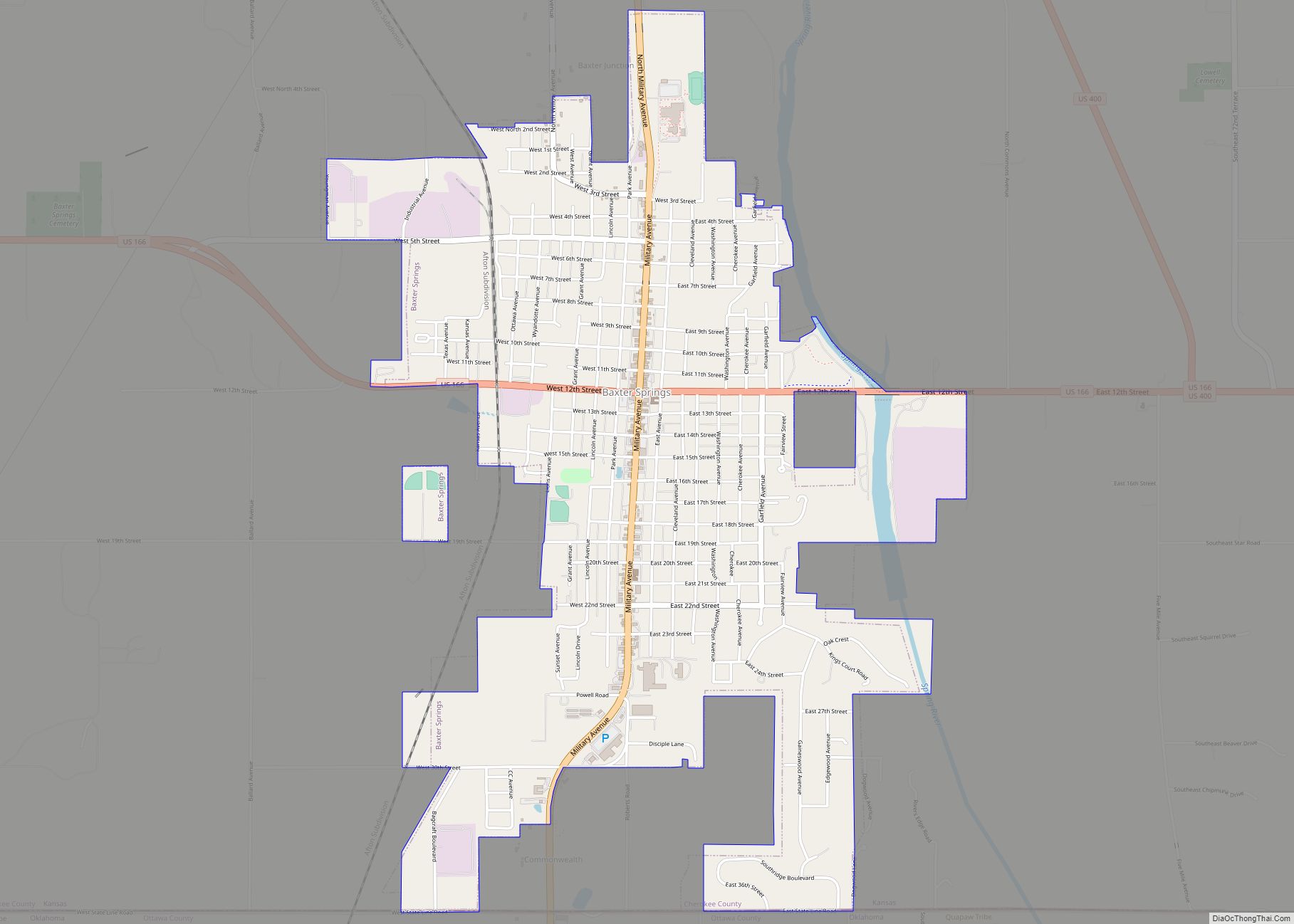
Columbus Road Map
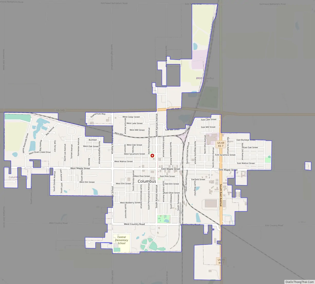
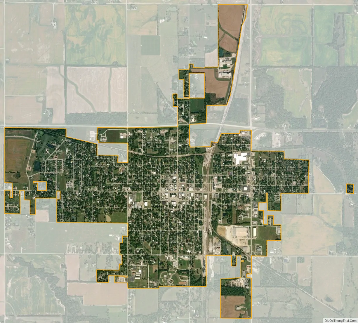
Columbus city Satellite Map
Geography
Columbus is located at 37°10′17″N 94°50′27″W / 37.17139°N 94.84083°W / 37.17139; -94.84083 (37.171379, -94.840704). According to the United States Census Bureau, the city has a total area of 2.42 square miles (6.27 km), all land.
Climate
The climate in this area is characterized by hot, humid summers and generally mild to cool winters. According to the Köppen Climate Classification system, Columbus has a humid subtropical climate, abbreviated “Cfa” on climate maps.
See also
Map of Kansas State and its subdivision:- Allen
- Anderson
- Atchison
- Barber
- Barton
- Bourbon
- Brown
- Butler
- Chase
- Chautauqua
- Cherokee
- Cheyenne
- Clark
- Clay
- Cloud
- Coffey
- Comanche
- Cowley
- Crawford
- Decatur
- Dickinson
- Doniphan
- Douglas
- Edwards
- Elk
- Ellis
- Ellsworth
- Finney
- Ford
- Franklin
- Geary
- Gove
- Graham
- Grant
- Gray
- Greeley
- Greenwood
- Hamilton
- Harper
- Harvey
- Haskell
- Hodgeman
- Jackson
- Jefferson
- Jewell
- Johnson
- Kearny
- Kingman
- Kiowa
- Labette
- Lane
- Leavenworth
- Lincoln
- Linn
- Logan
- Lyon
- Marion
- Marshall
- McPherson
- Meade
- Miami
- Mitchell
- Montgomery
- Morris
- Morton
- Nemaha
- Neosho
- Ness
- Norton
- Osage
- Osborne
- Ottawa
- Pawnee
- Phillips
- Pottawatomie
- Pratt
- Rawlins
- Reno
- Republic
- Rice
- Riley
- Rooks
- Rush
- Russell
- Saline
- Scott
- Sedgwick
- Seward
- Shawnee
- Sheridan
- Sherman
- Smith
- Stafford
- Stanton
- Stevens
- Sumner
- Thomas
- Trego
- Wabaunsee
- Wallace
- Washington
- Wichita
- Wilson
- Woodson
- Wyandotte
- Alabama
- Alaska
- Arizona
- Arkansas
- California
- Colorado
- Connecticut
- Delaware
- District of Columbia
- Florida
- Georgia
- Hawaii
- Idaho
- Illinois
- Indiana
- Iowa
- Kansas
- Kentucky
- Louisiana
- Maine
- Maryland
- Massachusetts
- Michigan
- Minnesota
- Mississippi
- Missouri
- Montana
- Nebraska
- Nevada
- New Hampshire
- New Jersey
- New Mexico
- New York
- North Carolina
- North Dakota
- Ohio
- Oklahoma
- Oregon
- Pennsylvania
- Rhode Island
- South Carolina
- South Dakota
- Tennessee
- Texas
- Utah
- Vermont
- Virginia
- Washington
- West Virginia
- Wisconsin
- Wyoming