Map of Kiowa city, Kansas

Map of Kiowa city, Kansas

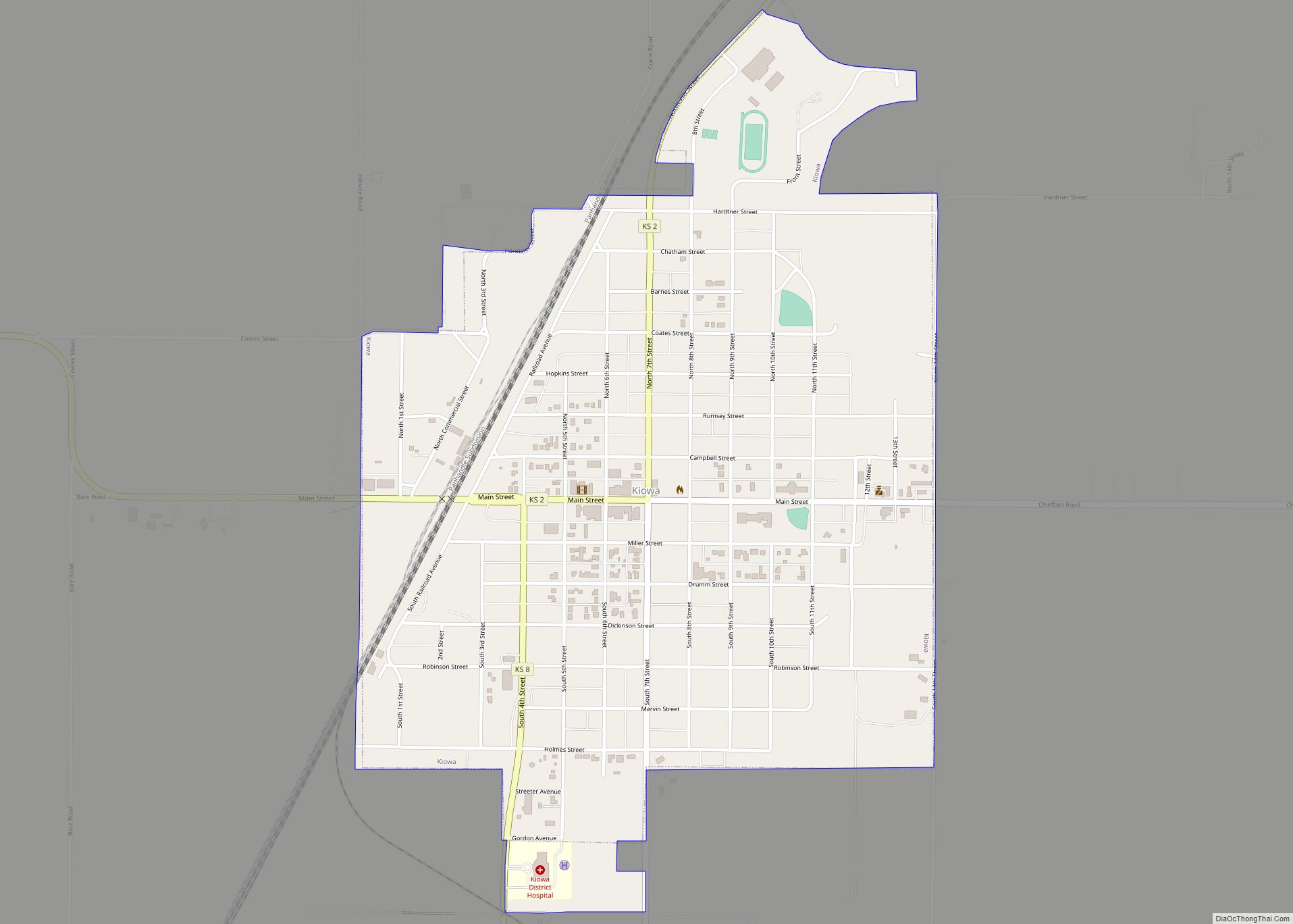
Kiowa is a city in Barber County, Kansas, United States. As of the 2020 census, the population of the city was 902. It is located 1 mile north of the Kansas / Oklahoma state border. Kiowa city overview: Name: Kiowa city LSAD Code: 25 LSAD Description: city (suffix) State: Kansas County: Barber County Founded: 1872 … Read more

Map of La Cygne city

Map of La Cygne city

La Cygne (pronounced /leɪ ˈsiːn/ lay SEEN) is a city in Linn County, Kansas, United States, and situated along the Marais des Cygnes River. As of the 2020 census, the population of the city was 1,050. The city is named after the Marais des Cygnes River which is a French translation of an Osage appellation … Read more

Map of La Crosse city, Kansas

Map of La Crosse city, Kansas

La Crosse is a city in and the county seat of Rush County, Kansas, United States. As of the 2020 census, the population of the city was 1,266. La Crosse proclaims itself the “Barbed Wire capital of the world. La Crosse city overview: Name: La Crosse city LSAD Code: 25 LSAD Description: city (suffix) State: … Read more

Map of Kismet city

Map of Kismet city

Kismet is a city in Seward County, Kansas, United States. As of the 2020 census, the population of the city was 340. Kismet city overview: Name: Kismet city LSAD Code: 25 LSAD Description: city (suffix) State: Kansas County: Seward County Founded: 1880s Incorporated: 1929 Elevation: 2,779 ft (847 m) Total Area: 0.24 sq mi (0.61 km²) Land Area: 0.24 sq mi (0.61 km²) … Read more

Map of Lake Quivira city

Map of Lake Quivira city

Lake Quivira /ˈleɪk kwɪˈvɪərə/ is a city in Johnson and Wyandotte counties in the State of Kansas, and part of the Kansas City Metropolitan Area. As of the 2020 census, the population of the city was 1,014. Lake Quivira city overview: Name: Lake Quivira city LSAD Code: 25 LSAD Description: city (suffix) State: Kansas County: … Read more

Map of Labette city

Map of Labette city

Labette is a city in Labette County, Kansas, United States. As of the 2020 census, the population of the city was 50. Labette city overview: Name: Labette city LSAD Code: 25 LSAD Description: city (suffix) State: Kansas County: Labette County Founded: 1870 Incorporated: 1919 Elevation: 866 ft (264 m) Total Area: 0.22 sq mi (0.58 km²) Land Area: 0.22 sq mi (0.58 km²) … Read more

Map of La Harpe city, Kansas

Map of La Harpe city, Kansas

La Harpe is a city in Allen County, Kansas, United States. As of the 2020 census, the population of the city was 480. La Harpe city overview: Name: La Harpe city LSAD Code: 25 LSAD Description: city (suffix) State: Kansas County: Allen County Founded: 1881 Incorporated: 1905 Elevation: 1,034 ft (315 m) Total Area: 0.80 sq mi (2.08 km²) Land … Read more

Map of Lane city

Map of Lane city, Kansas

Lane is a city in Franklin County, Kansas, United States. As of the 2020 census, the population of the city was 241. Lane city overview: Name: Lane city LSAD Code: 25 LSAD Description: city (suffix) State: Kansas County: Franklin County Founded: 1855 Incorporated: 1908 Elevation: 889 ft (271 m) Total Area: 0.24 sq mi (0.61 km²) Land Area: 0.23 sq mi (0.59 km²) … Read more

Map of Lancaster city, Kansas

Map of Lancaster city, Kansas

Lancaster is a city in Atchison County, Kansas, United States. As of the 2020 census, the population of the city was 246. Lancaster city overview: Name: Lancaster city LSAD Code: 25 LSAD Description: city (suffix) State: Kansas County: Atchison County Founded: 1850s Elevation: 1,155 ft (352 m) Total Area: 0.20 sq mi (0.52 km²) Land Area: 0.20 sq mi (0.52 km²) Water Area: … Read more

Map of Lakin city

Map of Lakin city

Lakin is a city in and the county seat of Kearny County, Kansas, United States. As of the 2020 census, the population of the city was 2,205. Lakin city overview: Name: Lakin city LSAD Code: 25 LSAD Description: city (suffix) State: Kansas County: Kearny County Founded: 1874 Incorporated: 1888 Elevation: 3,002 ft (915 m) Total Area: 0.95 sq mi … Read more

Map of Larned city

Map of Larned city

Larned is a city in and the county seat of Pawnee County, Kansas, United States. As of the 2020 census, the population of the city was 3,769. Larned city overview: Name: Larned city LSAD Code: 25 LSAD Description: city (suffix) State: Kansas County: Pawnee County Founded: 1870s Incorporated: 1886 Elevation: 2,005 ft (611 m) Total Area: 2.41 sq mi … Read more

Map of Lansing city, Kansas

Map of Lansing city, Kansas

Lansing is a city in Leavenworth County, Kansas, United States. It is situated along the west side of the Missouri River and Kansas-Missouri state border. As of the 2020 census, the population of the city was 11,239. It is the second most populous city of Leavenworth County and is a part of the Kansas City … Read more