Lane is a city in Franklin County, Kansas, United States. As of the 2020 census, the population of the city was 241.
| Name: | Lane city |
|---|---|
| LSAD Code: | 25 |
| LSAD Description: | city (suffix) |
| State: | Kansas |
| County: | Franklin County |
| Founded: | 1855 |
| Incorporated: | 1908 |
| Elevation: | 889 ft (271 m) |
| Total Area: | 0.24 sq mi (0.61 km²) |
| Land Area: | 0.23 sq mi (0.59 km²) |
| Water Area: | 0.01 sq mi (0.02 km²) |
| Total Population: | 241 |
| Population Density: | 1,000/sq mi (400/km²) |
| ZIP code: | 66042 |
| Area code: | 785 |
| FIPS code: | 2038400 |
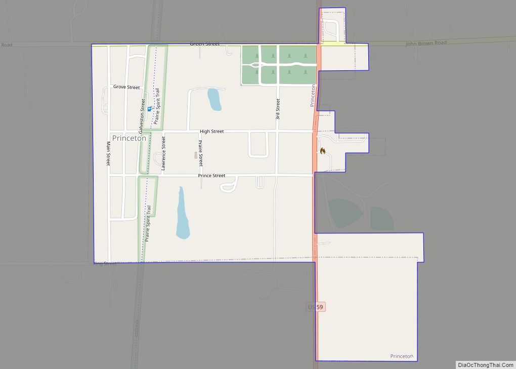
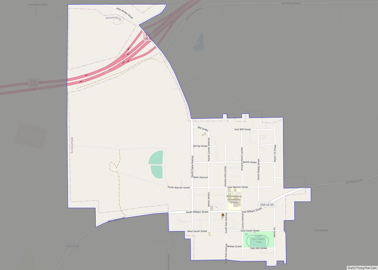
Online Interactive Map
Click on ![]() to view map in "full screen" mode.
to view map in "full screen" mode.
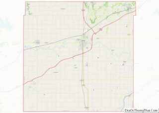
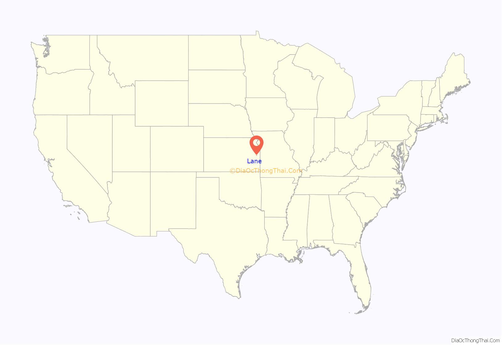
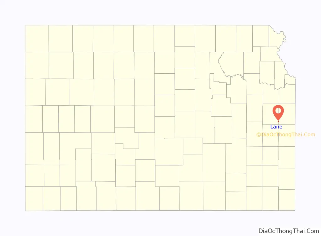
Lane location map. Where is Lane city?
History
The first temporary settlement near what would become Lane occurred in 1838 when Rev. Robert Simerwell established a Baptist Mission Station “on the south side of Pottawatomie Creek” following the Potawatomie Trail of Death. When the Federal Government moved the Potawatomie (and the Baptist Mission) to the Kansas River valley in the mid-1840s, brothers William, Peter, and “Dutch” Henry Sherman were left as the first permanent settlers. The community was known as Dutch Henry’s Crossing because a wagon road forded the creek near the Sherman cabin.
The area of Lane west of Kansas Avenue was originally laid out under the name Shermanville in 1855. It was renamed Lane in 1863 for James H. Lane, a leader of the Jayhawkers abolitionist movement, who served as one of the first Senators from Kansas.
When the Missouri Pacific Railroad arrived in 1879, a competing community, called either Emerson or Avondale, was laid out east of Kansas Avenue. Within two years the competition between the two towns ceased, and both townsites had merged into the single community of Lane. Lane was incorporated as a city in 1908.
Lane is near the site where in 1856, the abolitionist John Brown and four other of his followers hacked five pro-slavery men, one of whom was William Sherman, to death with broadswords near Mosquito Creek and Pottawatomie Creek. The event is commonly referred to as the Pottawatomie massacre.
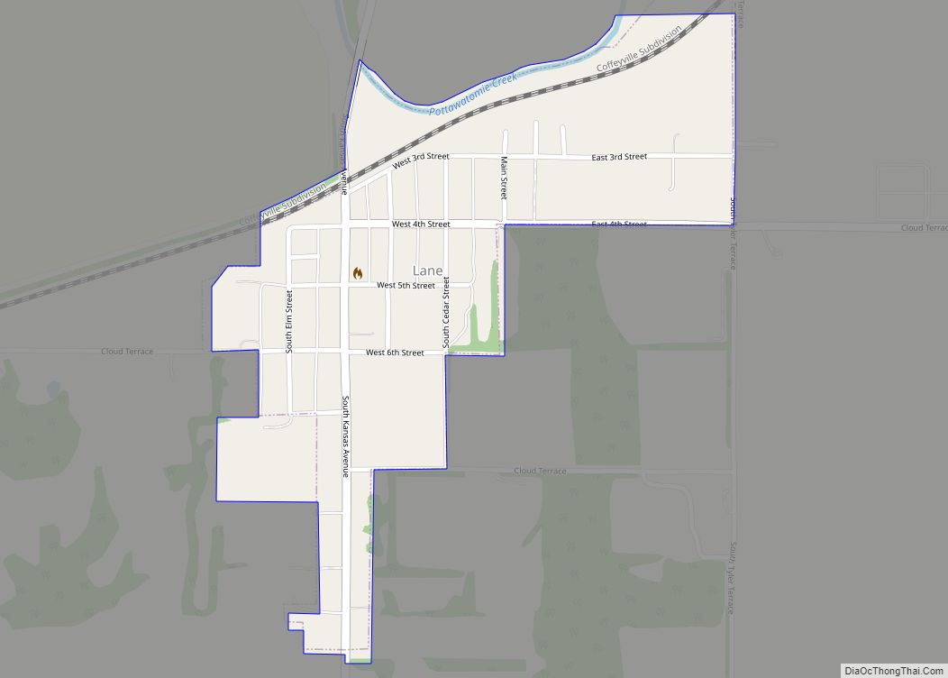
Lane Road Map
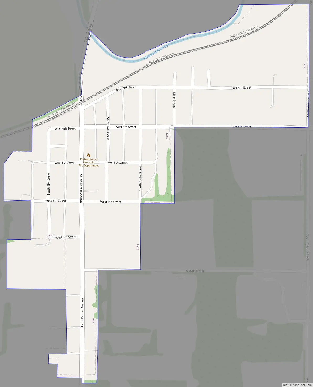
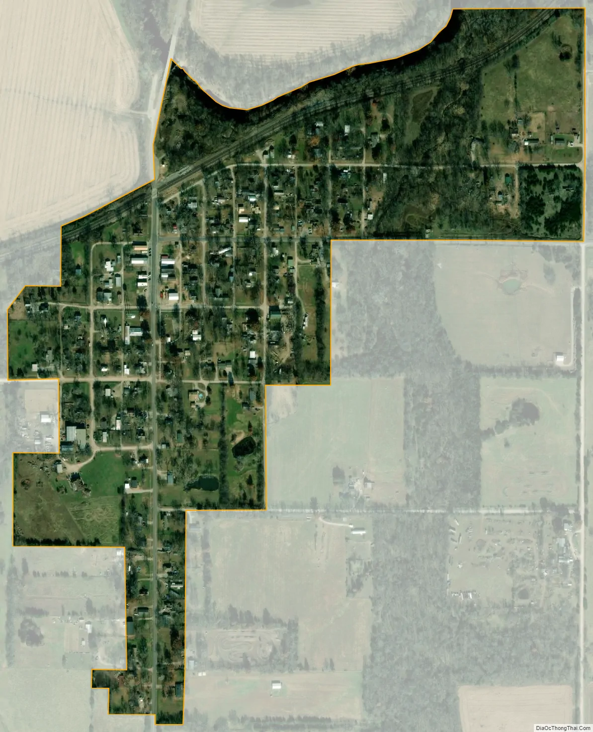
Lane city Satellite Map
Geography
Lane is located at 38°26′25″N 95°4′56″W / 38.44028°N 95.08222°W / 38.44028; -95.08222 (38.440265, -95.082339). According to the United States Census Bureau, the city has a total area of 0.24 square miles (0.62 km), all of it land.
Climate
The climate in this area is characterized by hot, humid summers and generally mild to cool winters. According to the Köppen Climate Classification system, Lane has a humid subtropical climate, abbreviated “Cfa” on climate maps.
See also
Map of Kansas State and its subdivision:- Allen
- Anderson
- Atchison
- Barber
- Barton
- Bourbon
- Brown
- Butler
- Chase
- Chautauqua
- Cherokee
- Cheyenne
- Clark
- Clay
- Cloud
- Coffey
- Comanche
- Cowley
- Crawford
- Decatur
- Dickinson
- Doniphan
- Douglas
- Edwards
- Elk
- Ellis
- Ellsworth
- Finney
- Ford
- Franklin
- Geary
- Gove
- Graham
- Grant
- Gray
- Greeley
- Greenwood
- Hamilton
- Harper
- Harvey
- Haskell
- Hodgeman
- Jackson
- Jefferson
- Jewell
- Johnson
- Kearny
- Kingman
- Kiowa
- Labette
- Lane
- Leavenworth
- Lincoln
- Linn
- Logan
- Lyon
- Marion
- Marshall
- McPherson
- Meade
- Miami
- Mitchell
- Montgomery
- Morris
- Morton
- Nemaha
- Neosho
- Ness
- Norton
- Osage
- Osborne
- Ottawa
- Pawnee
- Phillips
- Pottawatomie
- Pratt
- Rawlins
- Reno
- Republic
- Rice
- Riley
- Rooks
- Rush
- Russell
- Saline
- Scott
- Sedgwick
- Seward
- Shawnee
- Sheridan
- Sherman
- Smith
- Stafford
- Stanton
- Stevens
- Sumner
- Thomas
- Trego
- Wabaunsee
- Wallace
- Washington
- Wichita
- Wilson
- Woodson
- Wyandotte
- Alabama
- Alaska
- Arizona
- Arkansas
- California
- Colorado
- Connecticut
- Delaware
- District of Columbia
- Florida
- Georgia
- Hawaii
- Idaho
- Illinois
- Indiana
- Iowa
- Kansas
- Kentucky
- Louisiana
- Maine
- Maryland
- Massachusetts
- Michigan
- Minnesota
- Mississippi
- Missouri
- Montana
- Nebraska
- Nevada
- New Hampshire
- New Jersey
- New Mexico
- New York
- North Carolina
- North Dakota
- Ohio
- Oklahoma
- Oregon
- Pennsylvania
- Rhode Island
- South Carolina
- South Dakota
- Tennessee
- Texas
- Utah
- Vermont
- Virginia
- Washington
- West Virginia
- Wisconsin
- Wyoming