Larned is a city in and the county seat of Pawnee County, Kansas, United States. As of the 2020 census, the population of the city was 3,769.
| Name: | Larned city |
|---|---|
| LSAD Code: | 25 |
| LSAD Description: | city (suffix) |
| State: | Kansas |
| County: | Pawnee County |
| Founded: | 1870s |
| Incorporated: | 1886 |
| Elevation: | 2,005 ft (611 m) |
| Total Area: | 2.41 sq mi (6.24 km²) |
| Land Area: | 2.41 sq mi (6.24 km²) |
| Water Area: | 0.00 sq mi (0.00 km²) |
| Total Population: | 3,769 |
| Population Density: | 1,600/sq mi (600/km²) |
| ZIP code: | 67550 |
| Area code: | 620 |
| FIPS code: | 2038700 |
| Website: | cityoflarned.org |
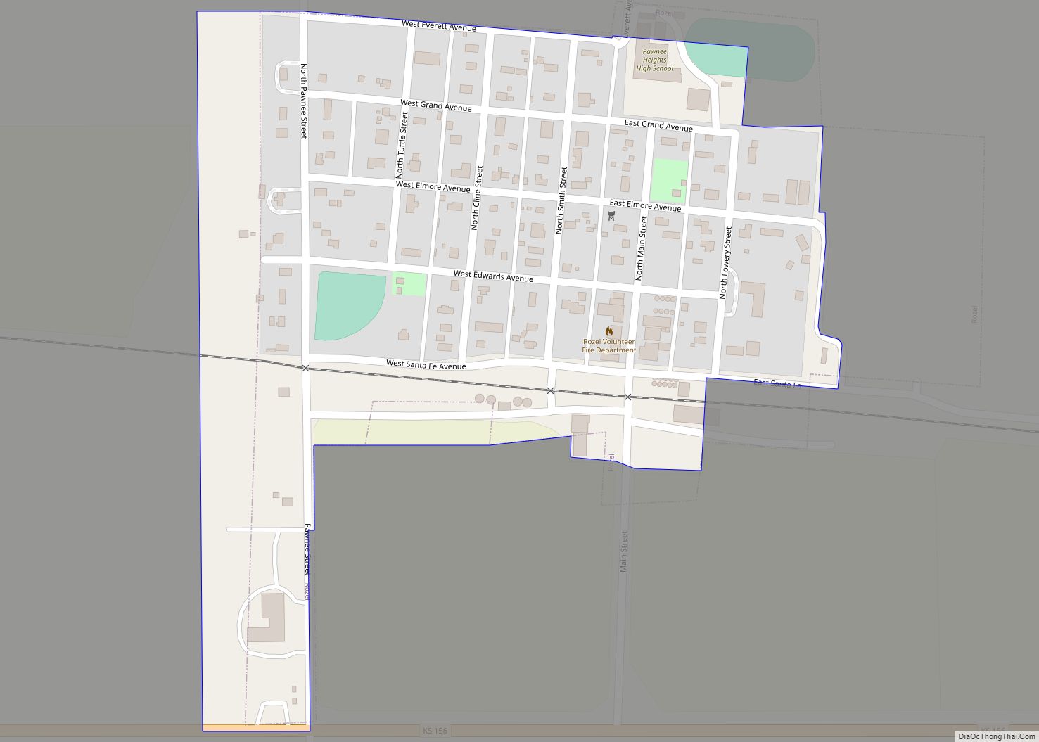
Online Interactive Map
Click on ![]() to view map in "full screen" mode.
to view map in "full screen" mode.
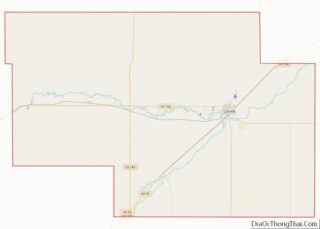
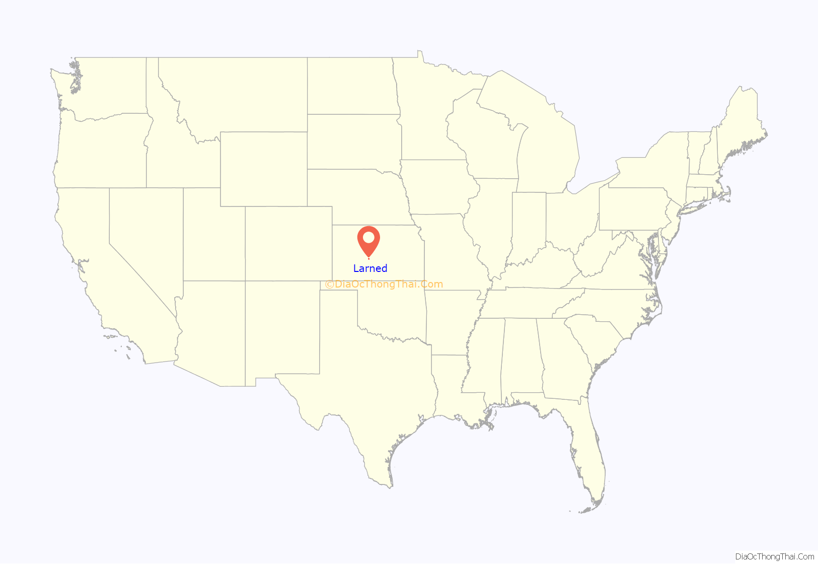
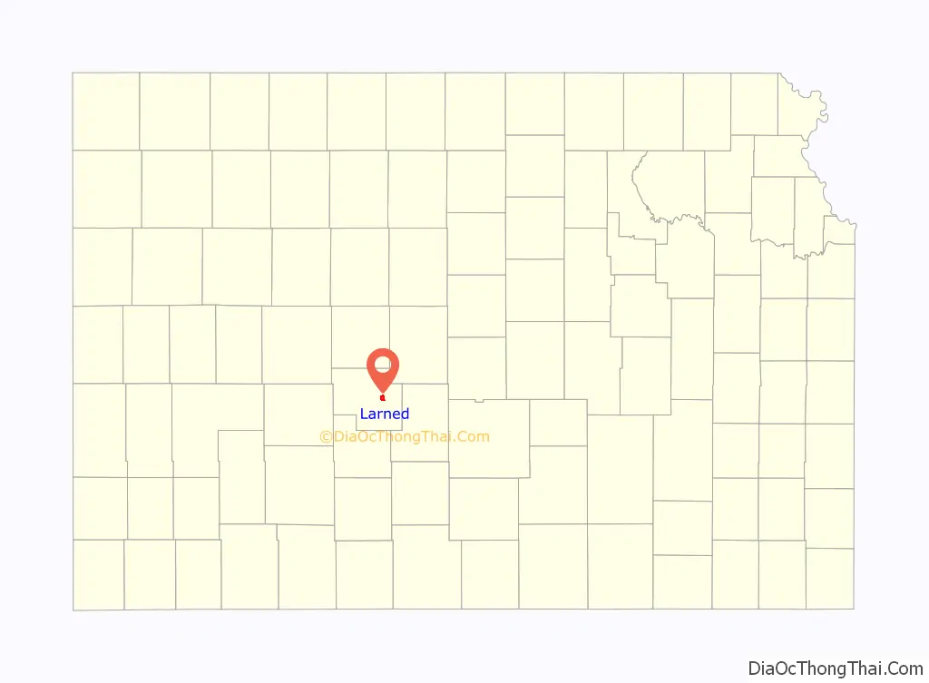
Larned location map. Where is Larned city?
History
Larned was laid out in 1873. The first post office was established at Larned in 1872.
The city drew its name from nearby Fort Larned, which operated from 1859 to 1878 and was named for Colonel Benjamin F. Larned, U.S. Army Paymaster from July 1854 to his death September 6, 1862.
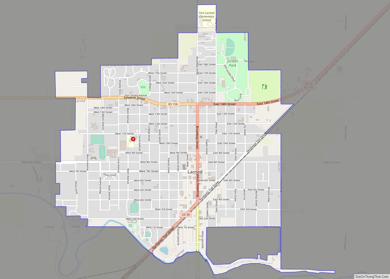
Larned Road Map
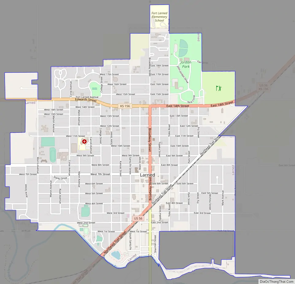
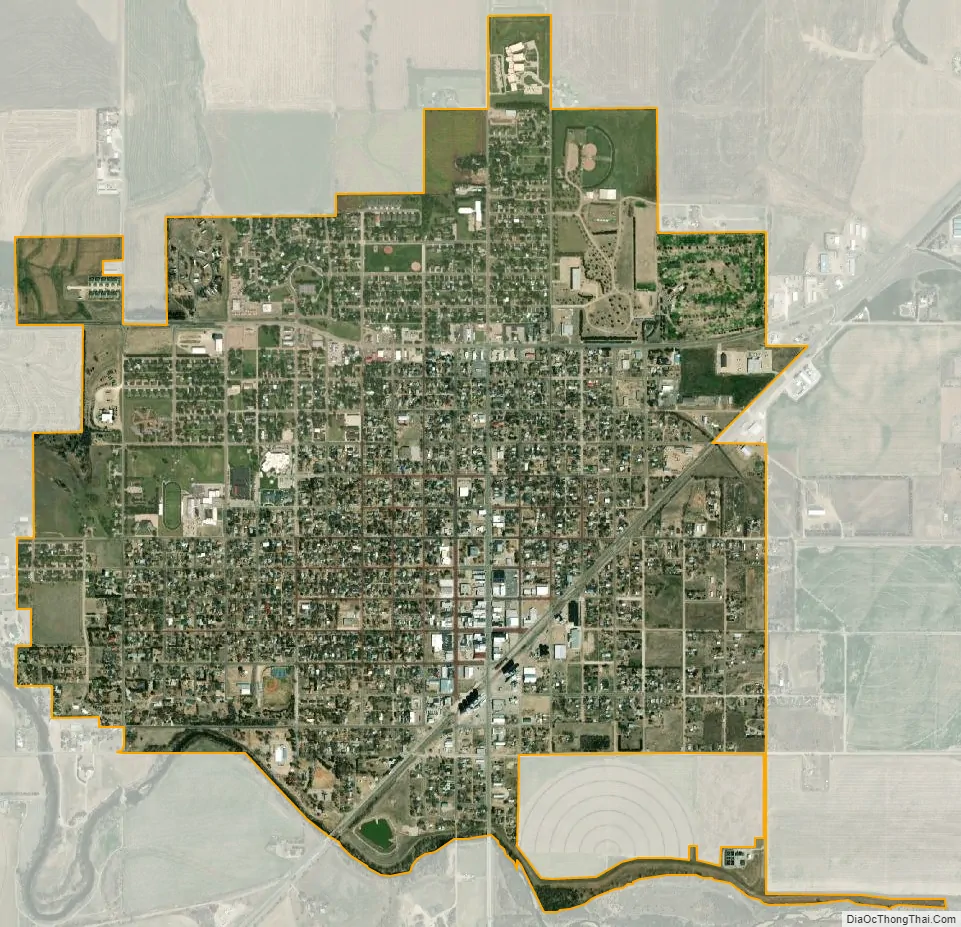
Larned city Satellite Map
Geography
Larned is located at coordinates 38.1805693, -99.0987130. According to the United States Census Bureau, the city has a total area of 2.39 square miles (6.19 km), all land.
Climate
The climate in this area is characterized by hot, humid summers and generally mild to cool winters. According to the Köppen Climate Classification system, Larned has a humid subtropical climate, abbreviated “Cfa” on climate maps.
See also
Map of Kansas State and its subdivision:- Allen
- Anderson
- Atchison
- Barber
- Barton
- Bourbon
- Brown
- Butler
- Chase
- Chautauqua
- Cherokee
- Cheyenne
- Clark
- Clay
- Cloud
- Coffey
- Comanche
- Cowley
- Crawford
- Decatur
- Dickinson
- Doniphan
- Douglas
- Edwards
- Elk
- Ellis
- Ellsworth
- Finney
- Ford
- Franklin
- Geary
- Gove
- Graham
- Grant
- Gray
- Greeley
- Greenwood
- Hamilton
- Harper
- Harvey
- Haskell
- Hodgeman
- Jackson
- Jefferson
- Jewell
- Johnson
- Kearny
- Kingman
- Kiowa
- Labette
- Lane
- Leavenworth
- Lincoln
- Linn
- Logan
- Lyon
- Marion
- Marshall
- McPherson
- Meade
- Miami
- Mitchell
- Montgomery
- Morris
- Morton
- Nemaha
- Neosho
- Ness
- Norton
- Osage
- Osborne
- Ottawa
- Pawnee
- Phillips
- Pottawatomie
- Pratt
- Rawlins
- Reno
- Republic
- Rice
- Riley
- Rooks
- Rush
- Russell
- Saline
- Scott
- Sedgwick
- Seward
- Shawnee
- Sheridan
- Sherman
- Smith
- Stafford
- Stanton
- Stevens
- Sumner
- Thomas
- Trego
- Wabaunsee
- Wallace
- Washington
- Wichita
- Wilson
- Woodson
- Wyandotte
- Alabama
- Alaska
- Arizona
- Arkansas
- California
- Colorado
- Connecticut
- Delaware
- District of Columbia
- Florida
- Georgia
- Hawaii
- Idaho
- Illinois
- Indiana
- Iowa
- Kansas
- Kentucky
- Louisiana
- Maine
- Maryland
- Massachusetts
- Michigan
- Minnesota
- Mississippi
- Missouri
- Montana
- Nebraska
- Nevada
- New Hampshire
- New Jersey
- New Mexico
- New York
- North Carolina
- North Dakota
- Ohio
- Oklahoma
- Oregon
- Pennsylvania
- Rhode Island
- South Carolina
- South Dakota
- Tennessee
- Texas
- Utah
- Vermont
- Virginia
- Washington
- West Virginia
- Wisconsin
- Wyoming