La Crosse is a city in and the county seat of Rush County, Kansas, United States. As of the 2020 census, the population of the city was 1,266. La Crosse proclaims itself the “Barbed Wire capital of the world.
| Name: | La Crosse city |
|---|---|
| LSAD Code: | 25 |
| LSAD Description: | city (suffix) |
| State: | Kansas |
| County: | Rush County |
| Founded: | 1876 |
| Incorporated: | 1886 |
| Elevation: | 2,057 ft (627 m) |
| Total Area: | 1.04 sq mi (2.68 km²) |
| Land Area: | 1.04 sq mi (2.68 km²) |
| Water Area: | 0.00 sq mi (0.00 km²) |
| Total Population: | 1,266 |
| Population Density: | 1,200/sq mi (470/km²) |
| ZIP code: | 67548, 67553 |
| Area code: | 785 |
| FIPS code: | 2037500 |
| Website: | cityoflacrosseks.com |
Online Interactive Map
Click on ![]() to view map in "full screen" mode.
to view map in "full screen" mode.
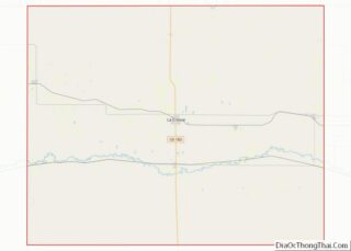
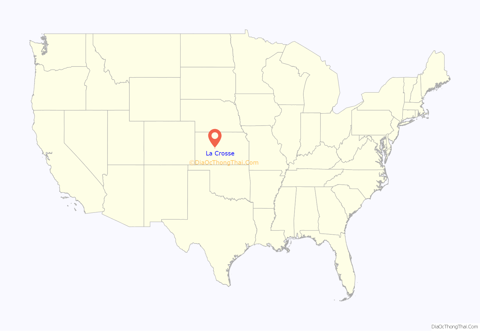
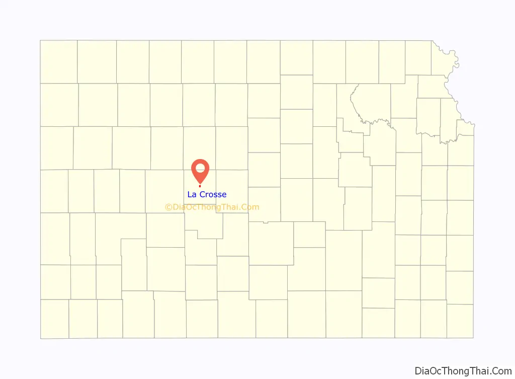
La Crosse location map. Where is La Crosse city?
History
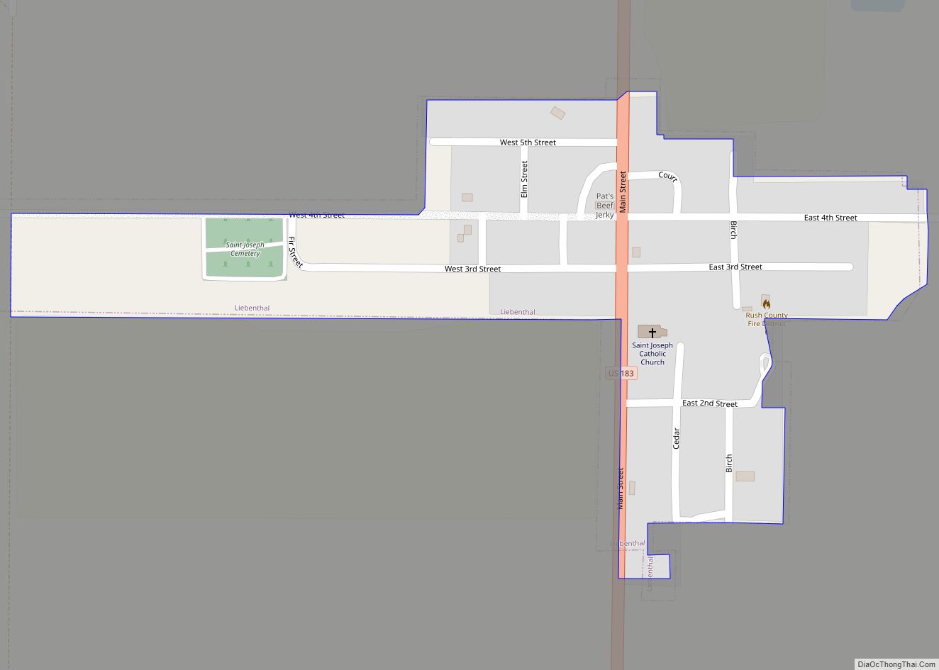
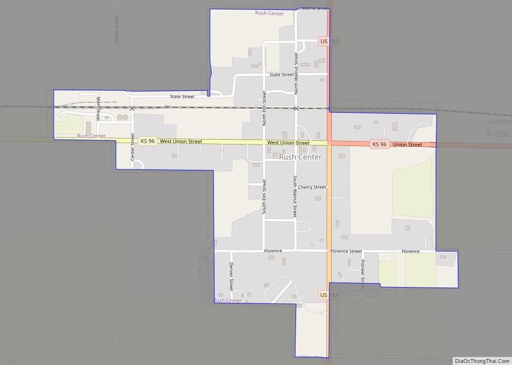
La Crosse was founded in 1876, was named after the city of La Crosse, Wisconsin. La Crosse subsequently became the intended county seat, and county records were transferred there from the temporary county seat, nearby Rush Center. A county seat war ensued between the two communities, lasting until La Crosse was declared the permanent county seat and the construction of the county courthouse in 1888.
In the 1960s, La Crosse became a regional center of barbed wire collecting, leading to the establishment of the Kansas Barbed Wire Museum and the nicknaming of the city as “The Barbed Wire Capital of the World”.
Tornado of 2012
On May 25, 2012, an EF-1 tornado caused about four blocks of significant damage, and two businesses were destroyed. A third of the businesses sustained major damage. No injuries were reported.
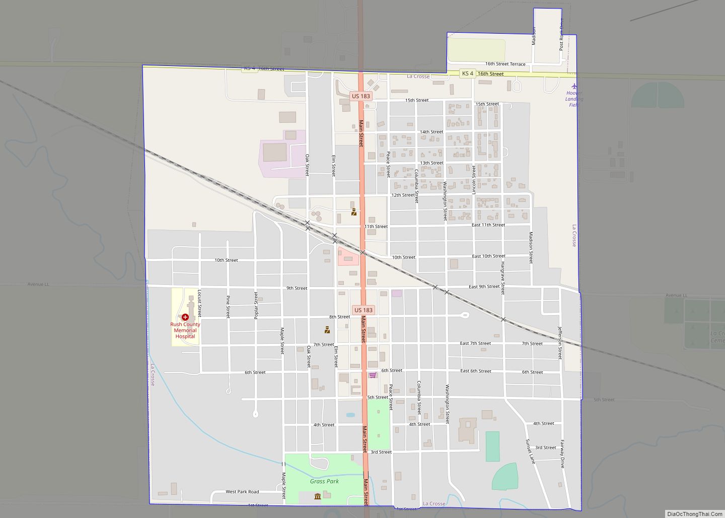
La Crosse Road Map
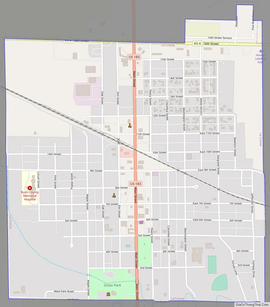
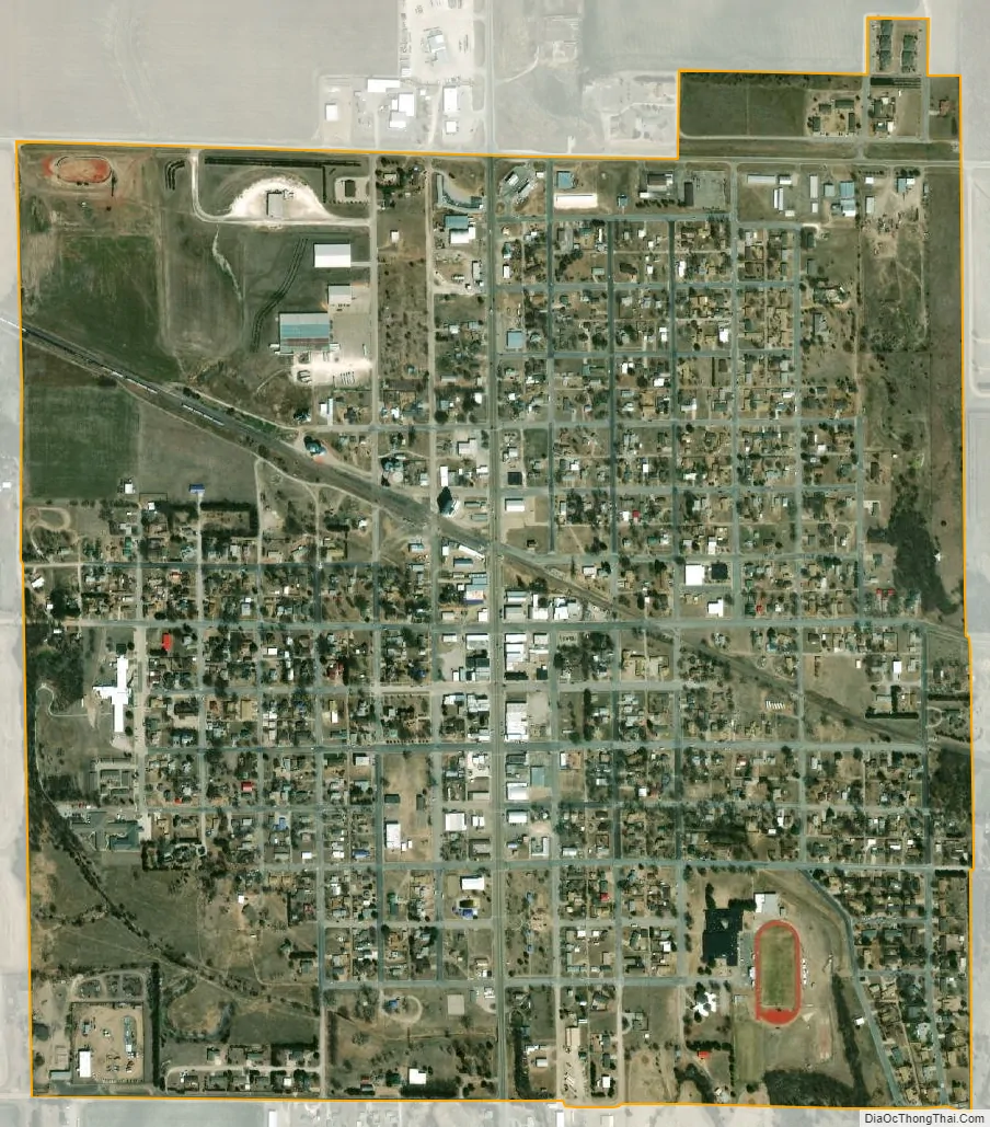
La Crosse city Satellite Map
Geography
La Crosse is located at 38°31′55″N 99°18′31″W / 38.53194°N 99.30861°W / 38.53194; -99.30861 (38.532014, -99.308614) at an elevation of 2,057 feet (627 m). It lies in the Smoky Hills region of the Great Plains, approximately 12 miles (19 km) south of the Smoky Hill River and 5 miles (8.0 km) north of Walnut Creek, a tributary of the Arkansas River. Sand Creek, a tributary of Walnut Creek, flows southeast around the southwestern and southern portions of the city. Mule Creek, a small tributary of Sand Creek, flows southeast through the city. Located in west-central Kansas at the intersection of U.S. Route 183 and K-4, La Crosse is 125 miles (201 km) northwest of Wichita, 261 miles (420 km) west-southwest of Kansas City, and 314 miles (505 km) east-southeast of Denver.
According to the United States Census Bureau, the city has a total area of 1.05 square miles (2.72 km), all land.
Climate
On average in La Crosse, July is the hottest month, January is the coldest month, and May is the wettest month. The hottest temperature recorded in La Crosse was 115 °F (46 °C) in 1954; the coldest temperature recorded was -24 °F (-31 °C) in 1989.
See also
Map of Kansas State and its subdivision:- Allen
- Anderson
- Atchison
- Barber
- Barton
- Bourbon
- Brown
- Butler
- Chase
- Chautauqua
- Cherokee
- Cheyenne
- Clark
- Clay
- Cloud
- Coffey
- Comanche
- Cowley
- Crawford
- Decatur
- Dickinson
- Doniphan
- Douglas
- Edwards
- Elk
- Ellis
- Ellsworth
- Finney
- Ford
- Franklin
- Geary
- Gove
- Graham
- Grant
- Gray
- Greeley
- Greenwood
- Hamilton
- Harper
- Harvey
- Haskell
- Hodgeman
- Jackson
- Jefferson
- Jewell
- Johnson
- Kearny
- Kingman
- Kiowa
- Labette
- Lane
- Leavenworth
- Lincoln
- Linn
- Logan
- Lyon
- Marion
- Marshall
- McPherson
- Meade
- Miami
- Mitchell
- Montgomery
- Morris
- Morton
- Nemaha
- Neosho
- Ness
- Norton
- Osage
- Osborne
- Ottawa
- Pawnee
- Phillips
- Pottawatomie
- Pratt
- Rawlins
- Reno
- Republic
- Rice
- Riley
- Rooks
- Rush
- Russell
- Saline
- Scott
- Sedgwick
- Seward
- Shawnee
- Sheridan
- Sherman
- Smith
- Stafford
- Stanton
- Stevens
- Sumner
- Thomas
- Trego
- Wabaunsee
- Wallace
- Washington
- Wichita
- Wilson
- Woodson
- Wyandotte
- Alabama
- Alaska
- Arizona
- Arkansas
- California
- Colorado
- Connecticut
- Delaware
- District of Columbia
- Florida
- Georgia
- Hawaii
- Idaho
- Illinois
- Indiana
- Iowa
- Kansas
- Kentucky
- Louisiana
- Maine
- Maryland
- Massachusetts
- Michigan
- Minnesota
- Mississippi
- Missouri
- Montana
- Nebraska
- Nevada
- New Hampshire
- New Jersey
- New Mexico
- New York
- North Carolina
- North Dakota
- Ohio
- Oklahoma
- Oregon
- Pennsylvania
- Rhode Island
- South Carolina
- South Dakota
- Tennessee
- Texas
- Utah
- Vermont
- Virginia
- Washington
- West Virginia
- Wisconsin
- Wyoming