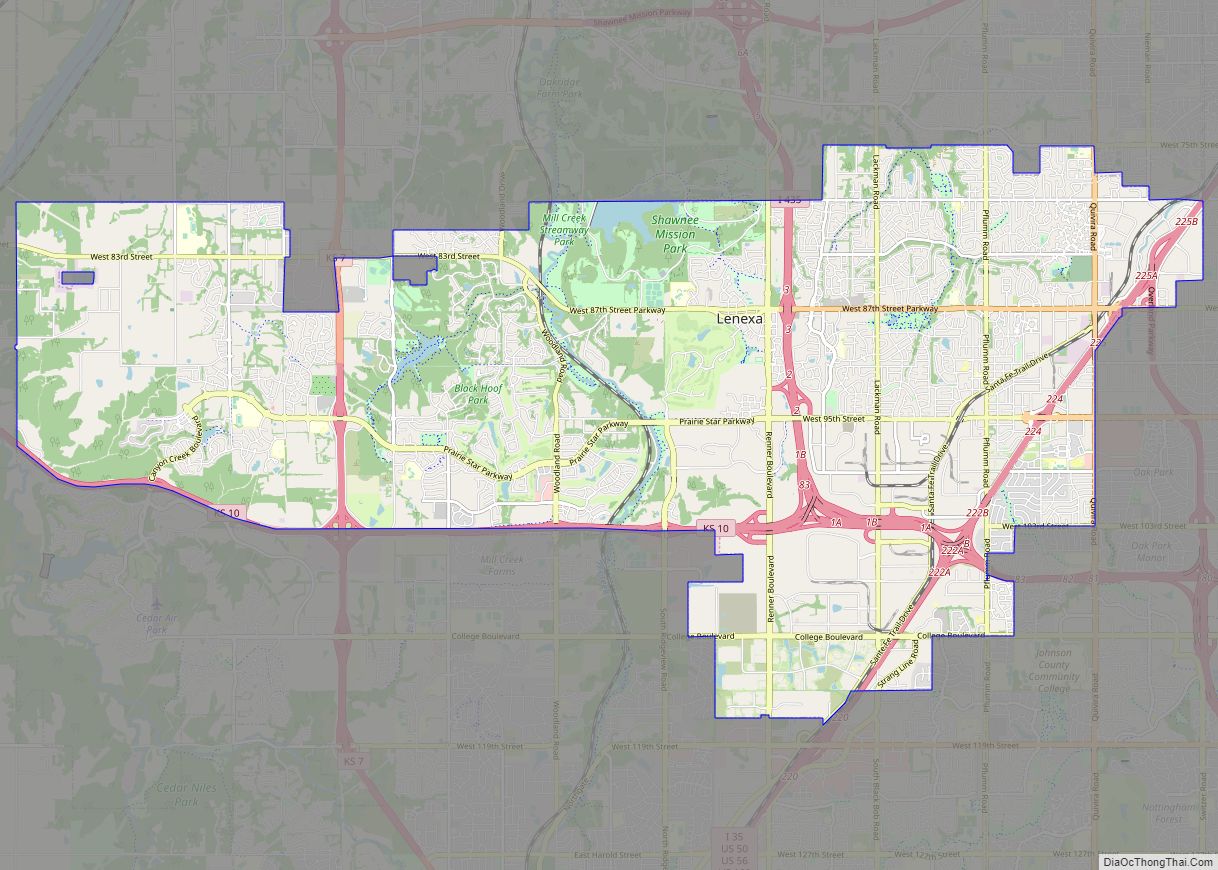
Lenexa /lɪˈnɛksə/ is a city in Johnson County, Kansas, United States. It is one of four principal cities of the Kansas City Metropolitan Area and 9th most populated city of Kansas. As of the 2020 census, the population of the city was 57,434. It is the birthplace of Garmin and the regional headquarters of Kiewit ... Read more
Kansas Cities and Places
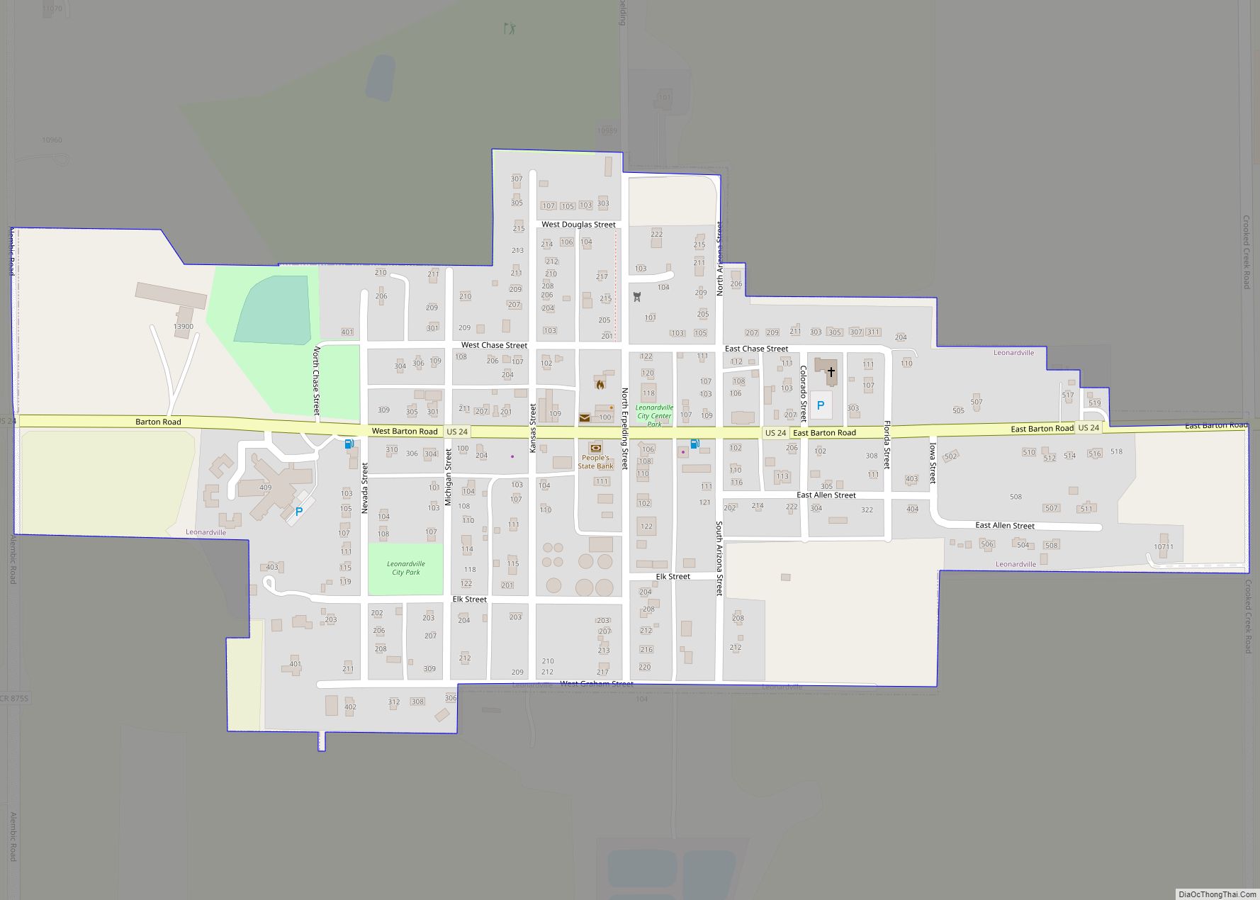
Leonardville is a city in Riley County, Kansas, United States. As of the 2020 census, the population of the city was 432. Leonardville city overview: Name: Leonardville city LSAD Code: 25 LSAD Description: city (suffix) State: Kansas County: Riley County Founded: 1881 Incorporated: 1885 Elevation: 1,388 ft (423 m) Total Area: 0.29 sq mi (0.76 km²) Land Area: 0.29 sq mi (0.76 km²) ... Read more
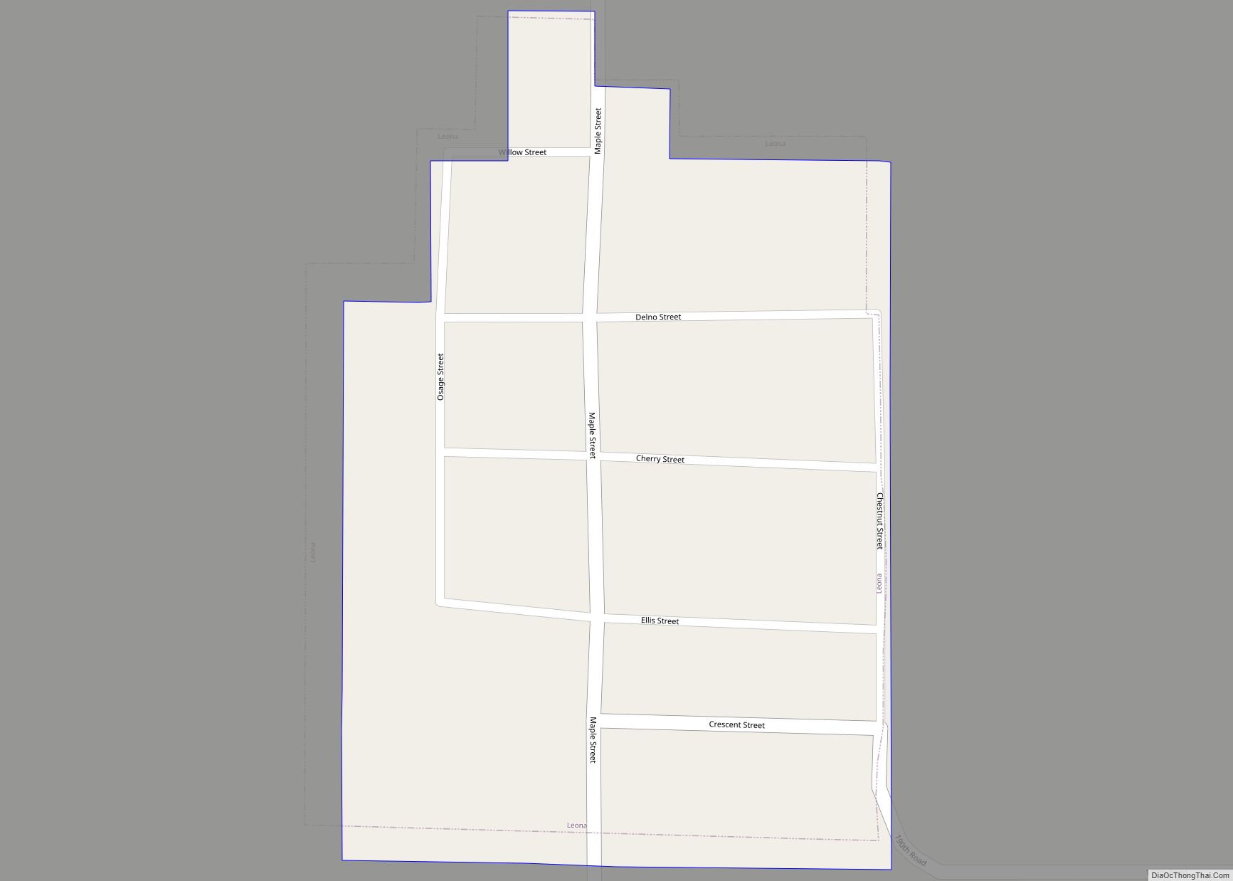
Leona is a city in Doniphan County, Kansas, United States. As of the 2020 census, the population of the city was 41. Leona city overview: Name: Leona city LSAD Code: 25 LSAD Description: city (suffix) State: Kansas County: Doniphan County Founded: 1873 Incorporated: 1934 Elevation: 965 ft (294 m) Total Area: 0.06 sq mi (0.16 km²) Land Area: 0.06 sq mi (0.16 km²) ... Read more
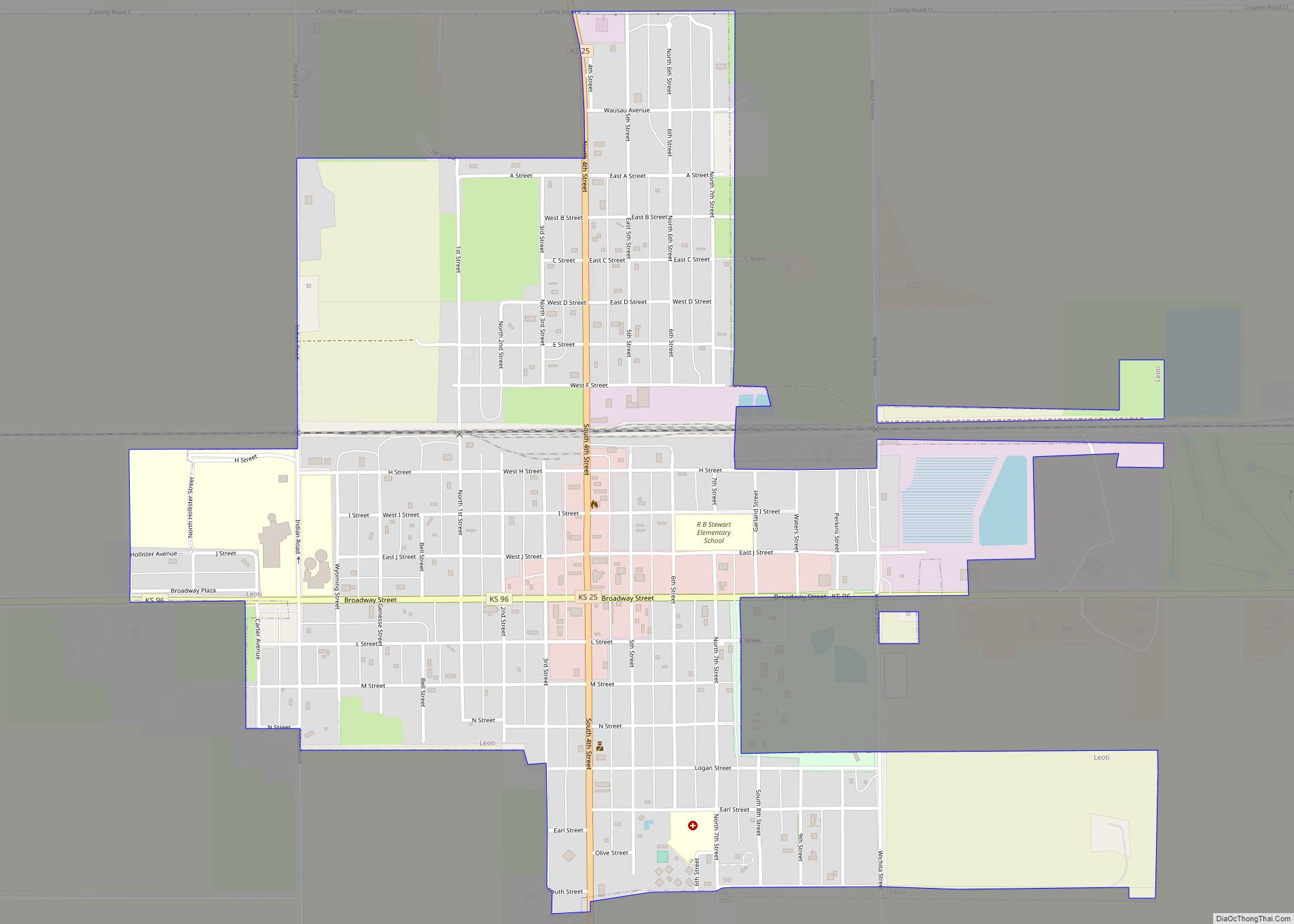
Leoti, pronounced “Lee-OH-Tuh.” is a city in and the county seat of Wichita County, Kansas, United States. As of the 2020 census, the population of the city was 1,475. Leoti city overview: Name: Leoti city LSAD Code: 25 LSAD Description: city (suffix) State: Kansas County: Wichita County Founded: 1885 Incorporated: 1887 Elevation: 3,301 ft (1,006 m) Total ... Read more
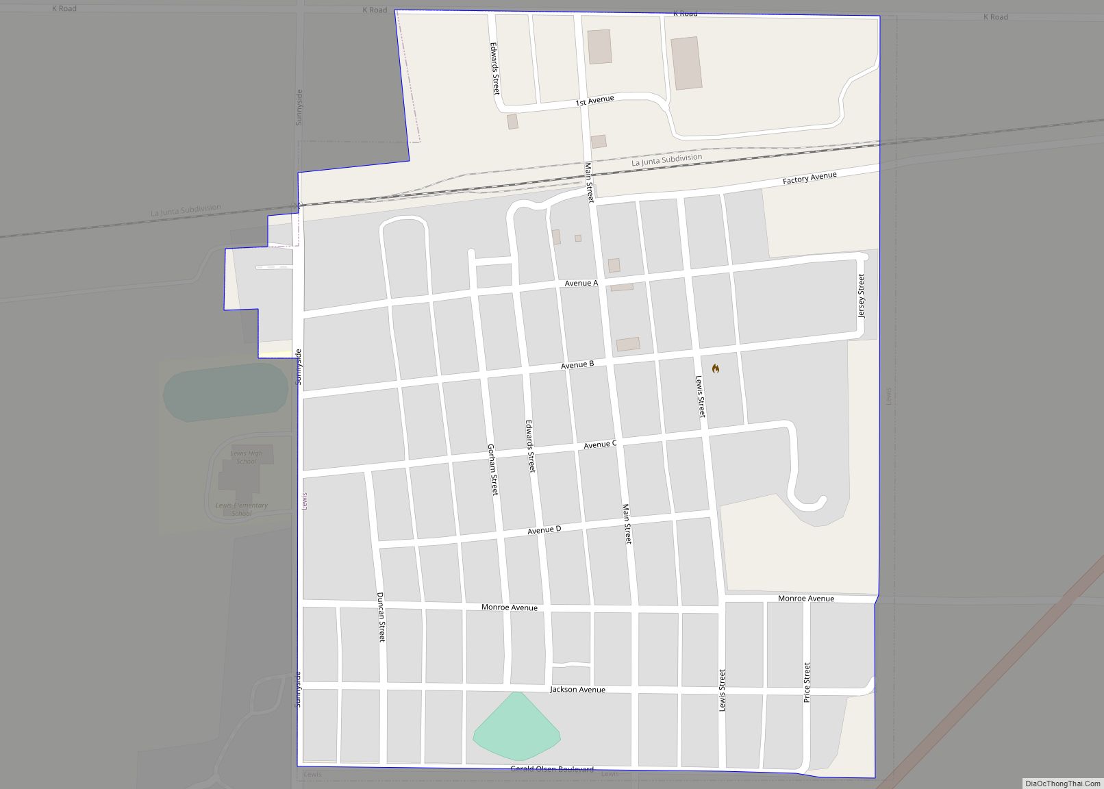
Lewis is a city in Edwards County, Kansas, United States. As of the 2020 census, the population of the city was 400. Lewis city overview: Name: Lewis city LSAD Code: 25 LSAD Description: city (suffix) State: Kansas County: Edwards County Founded: 1885 Incorporated: 1906 Elevation: 2,146 ft (654 m) Total Area: 0.32 sq mi (0.81 km²) Land Area: 0.32 sq mi (0.81 km²) ... Read more
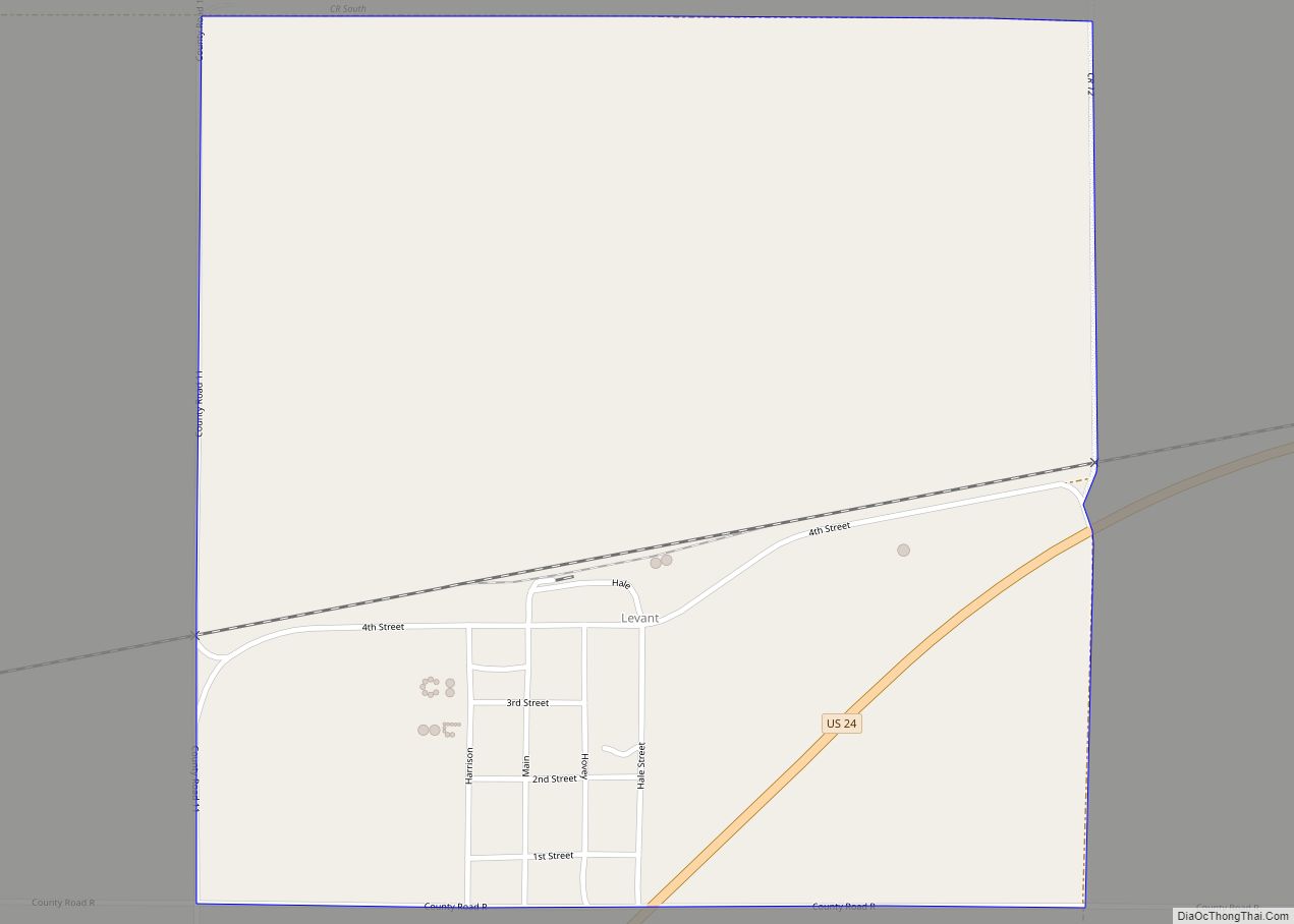
Levant is an unincorporated community in Thomas County, Kansas, United States. As of the 2020 census, the population of the community and nearby areas was 68. It is located approximately 7.5 miles (12.1 km) west of Colby. Levant CDP overview: Name: Levant CDP LSAD Code: 57 LSAD Description: CDP (suffix) State: Kansas County: Thomas County Elevation: ... Read more
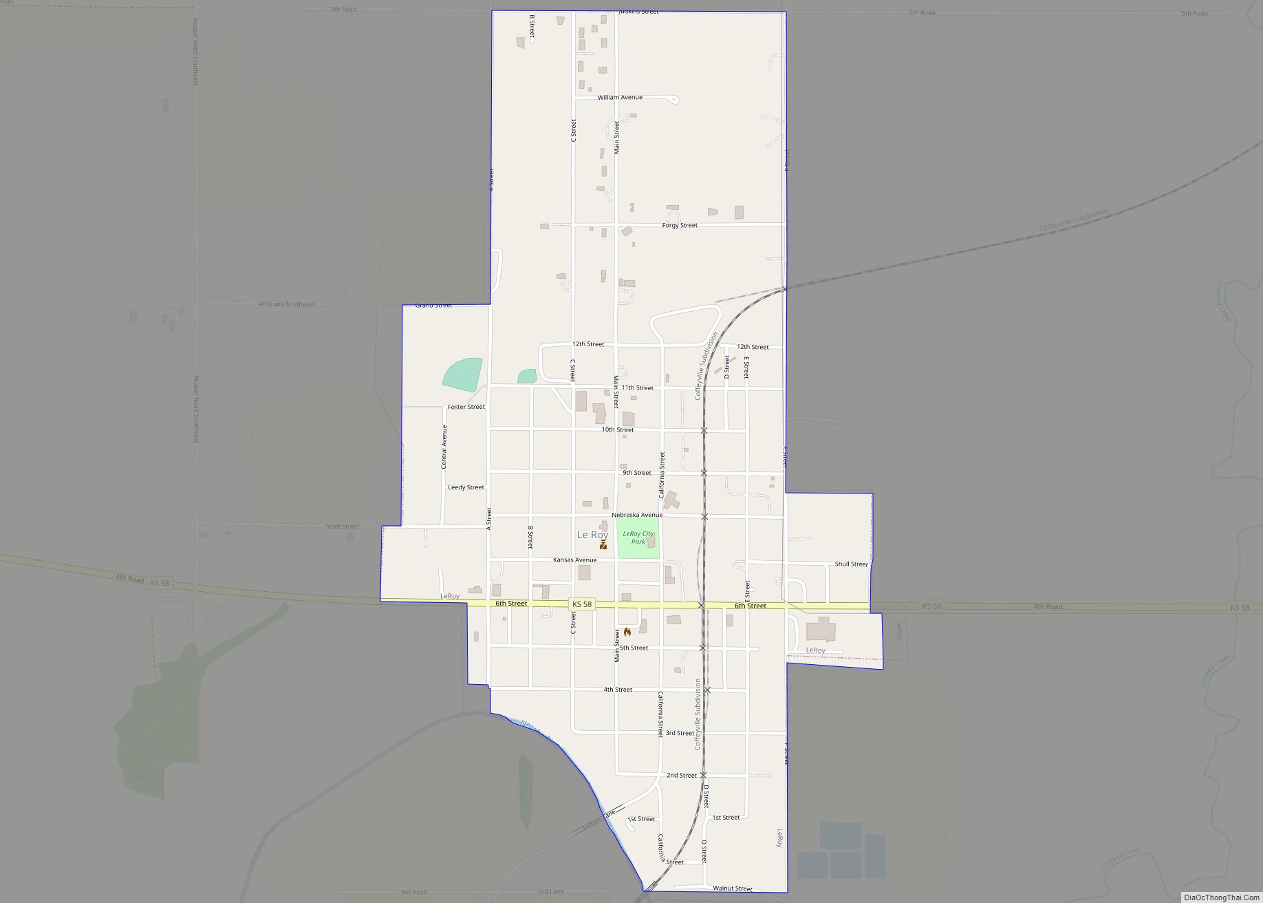
LeRoy city overview: Name: LeRoy city LSAD Code: 25 LSAD Description: city (suffix) State: Kansas County: Coffey County FIPS code: 2039650 Online Interactive Map LeRoy online map. Source: Basemap layers from Google Map, Open Street Map (OSM), Arcgisonline, Wmflabs. Boundary Data from Database of Global Administrative Areas. LeRoy location map. Where is LeRoy city? LeRoy ... Read more
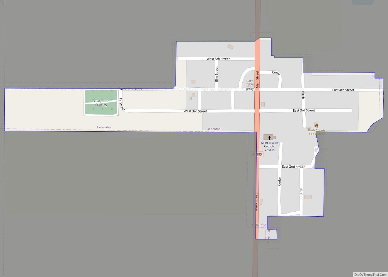
Liebenthal is a city in Rush County, Kansas, United States. As of the 2020 census, the population of the city was 92. It is located 8 miles north of La Crosse. Liebenthal city overview: Name: Liebenthal city LSAD Code: 25 LSAD Description: city (suffix) State: Kansas County: Rush County Founded: 1876 Incorporated: 1935 Elevation: 1,972 ft ... Read more
Liberty is a city in Montgomery County, Kansas, United States. As of the 2020 census, the population of the city was 99. Liberty city overview: Name: Liberty city LSAD Code: 25 LSAD Description: city (suffix) State: Kansas County: Montgomery County Founded: 1869 Incorporated: 1884 Elevation: 745 ft (227 m) Total Area: 0.25 sq mi (0.65 km²) Land Area: 0.25 sq mi (0.65 km²) ... Read more
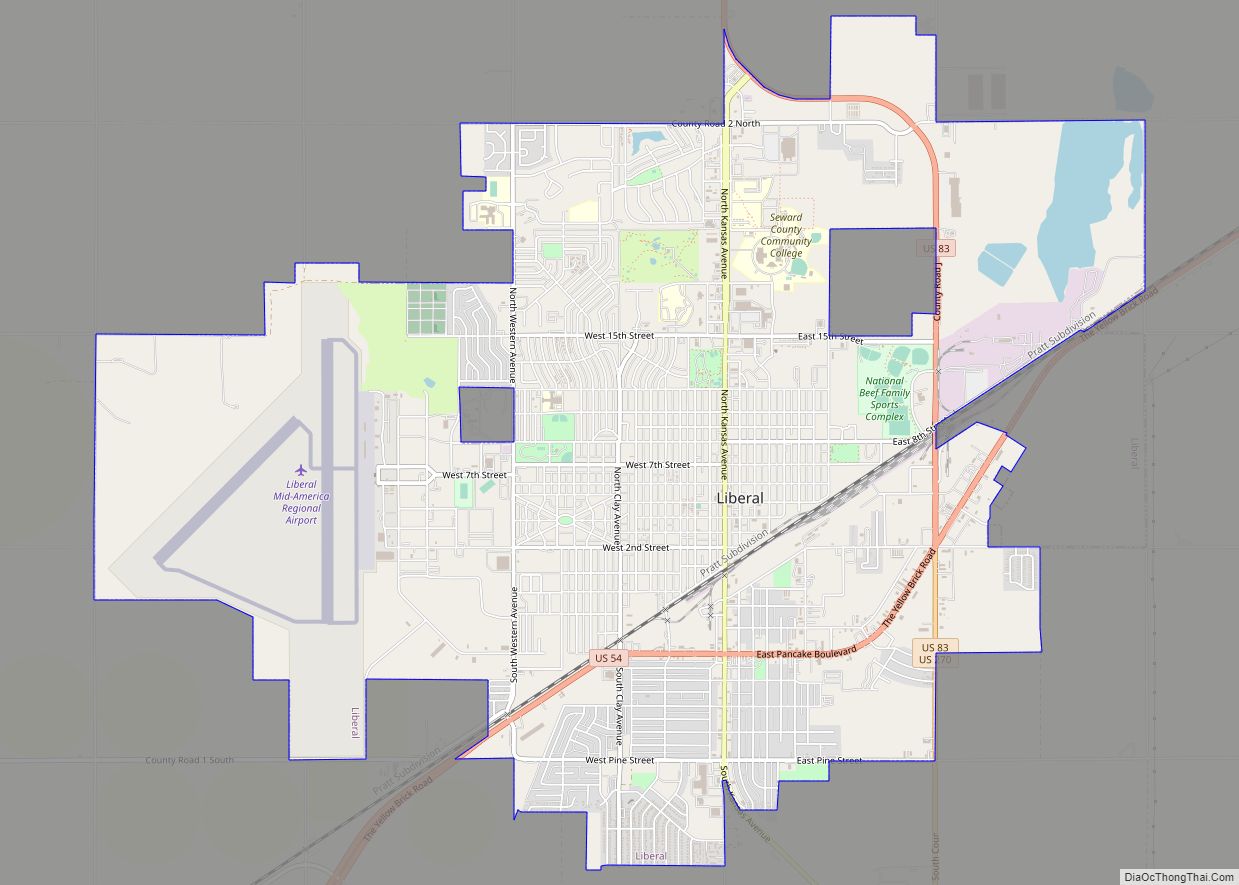
Liberal is the county seat of Seward County, Kansas, United States. As of the 2020 census, the population of the city was 19,825. Liberal is home of Seward County Community College. Liberal city overview: Name: Liberal city LSAD Code: 25 LSAD Description: city (suffix) State: Kansas County: Seward County Founded: 1888 Incorporated: 1888 Elevation: 2,835 ft ... Read more
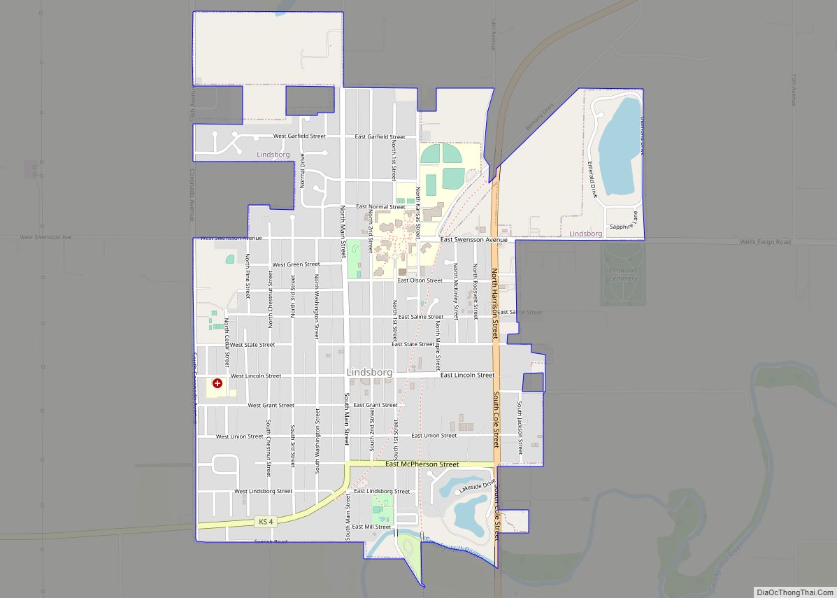
Lindsborg is a city in McPherson County, Kansas, United States. As of the 2020 census, the population of the city was 3,776. Lindsborg is known for its large Swedish, other Nordic and Scandinavian Americans (Nordic-Scandinavian), and German heritages, It is home of the biennial Svensk Hyllningsfest. Lindsborg city overview: Name: Lindsborg city LSAD Code: 25 ... Read more
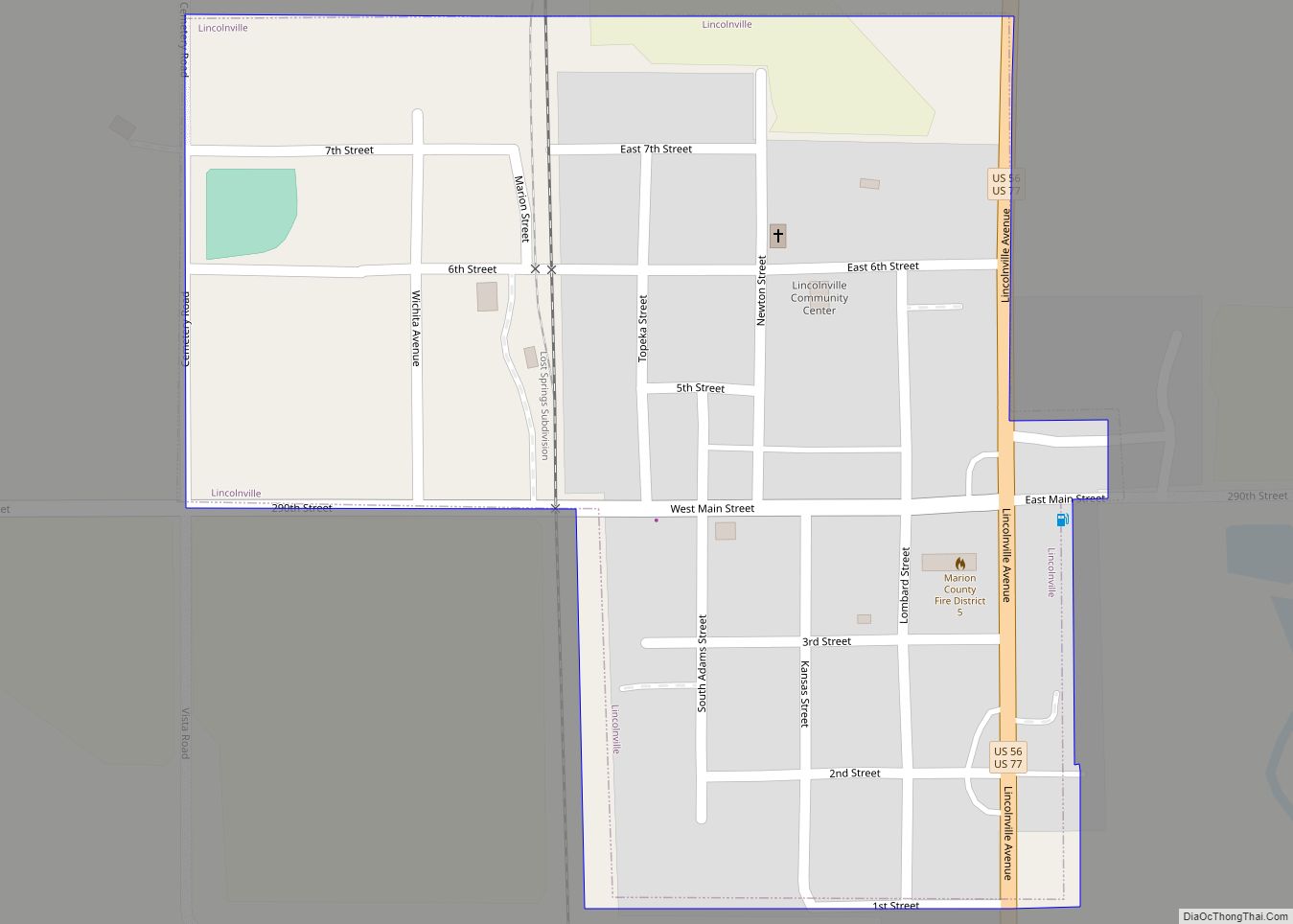
Lincolnville is a city in Marion County, Kansas, United States. As of the 2020 census, the population of the city was 168. It is located northeast of Marion, west of the intersection of U.S. Route 77 (aka U.S. Route 56) highway and 290th Street next to the Union Pacific Railroad. Lincolnville city overview: Name: Lincolnville ... Read more
