Leoti, pronounced “Lee-OH-Tuh.” is a city in and the county seat of Wichita County, Kansas, United States. As of the 2020 census, the population of the city was 1,475.
| Name: | Leoti city |
|---|---|
| LSAD Code: | 25 |
| LSAD Description: | city (suffix) |
| State: | Kansas |
| County: | Wichita County |
| Founded: | 1885 |
| Incorporated: | 1887 |
| Elevation: | 3,301 ft (1,006 m) |
| Total Area: | 1.32 sq mi (3.41 km²) |
| Land Area: | 1.32 sq mi (3.41 km²) |
| Water Area: | 0.00 sq mi (0.00 km²) |
| Total Population: | 1,475 |
| Population Density: | 1,100/sq mi (430/km²) |
| ZIP code: | 67861 |
| Area code: | 620 |
| FIPS code: | 2039550 |
| Website: | leotikansas.org |
Online Interactive Map
Click on ![]() to view map in "full screen" mode.
to view map in "full screen" mode.
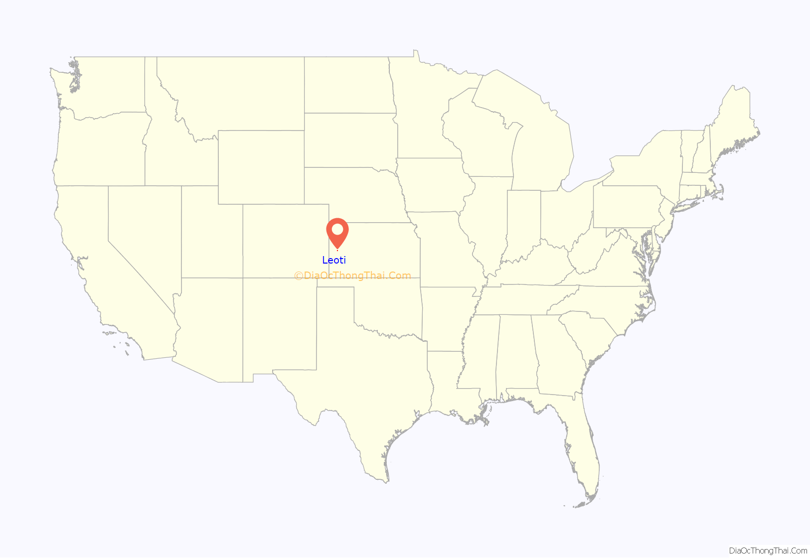
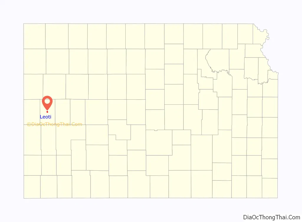
Leoti location map. Where is Leoti city?
History
Leoti was founded in 1885 by a company of men from Garden City, Kansas. Two years later, in 1887, it was involved in the bloodiest county seat fight in the history of the American West. The shoot-out was on February 27, 1887, when men—some would say hired gunmen—from Leoti, went to the neighboring, rival town of Coronado and left several people dead and wounded. A small town called Farmer City which was located between Coronado and Leoti, was hoped by some to become the county seat—which would end the fighting. Leoti later won the right to become the county seat and now the two other towns consist mainly of farmland.
The origin of the name Leoti is disputed: one tradition says the name is an Indian term for “prairie flower”; another says the community was named for settler Leoti Kibbee; a third says it was named for Leoti Gray, the daughter of a town founder.
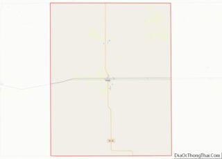
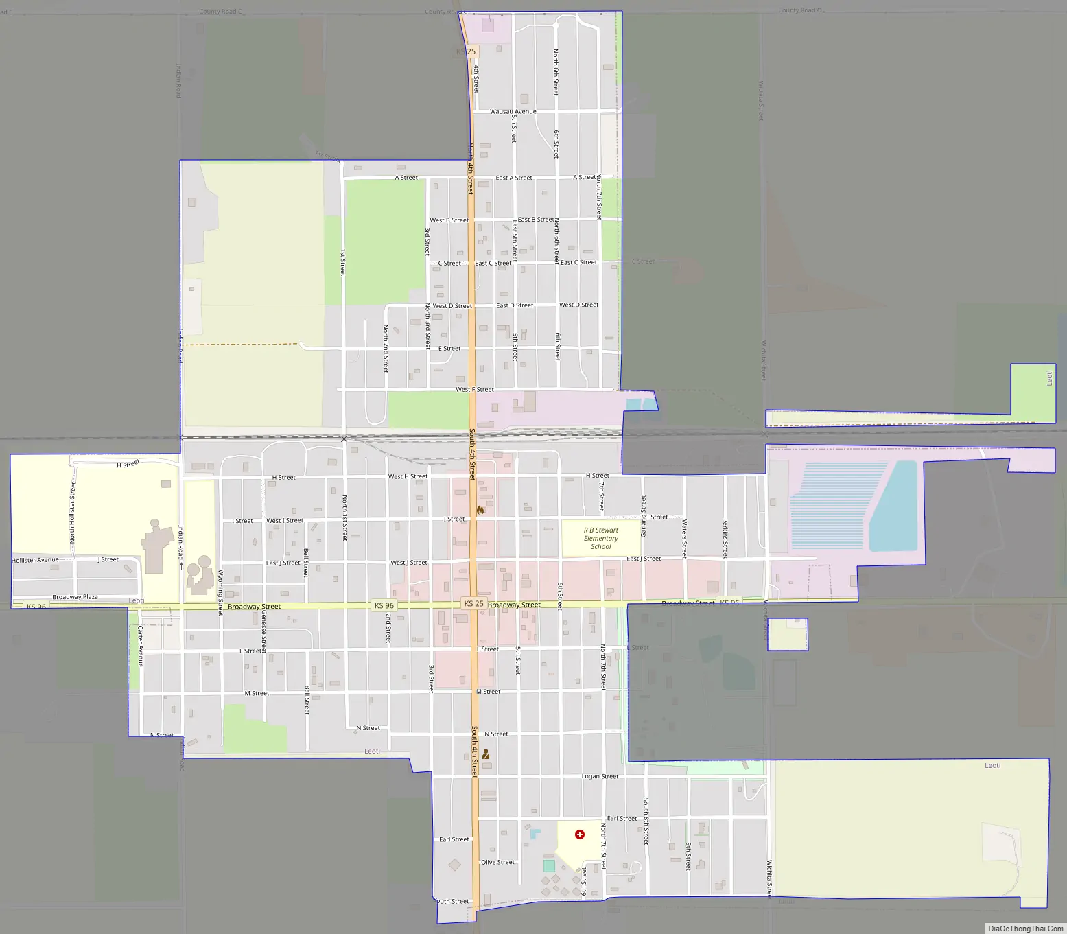
Leoti Road Map
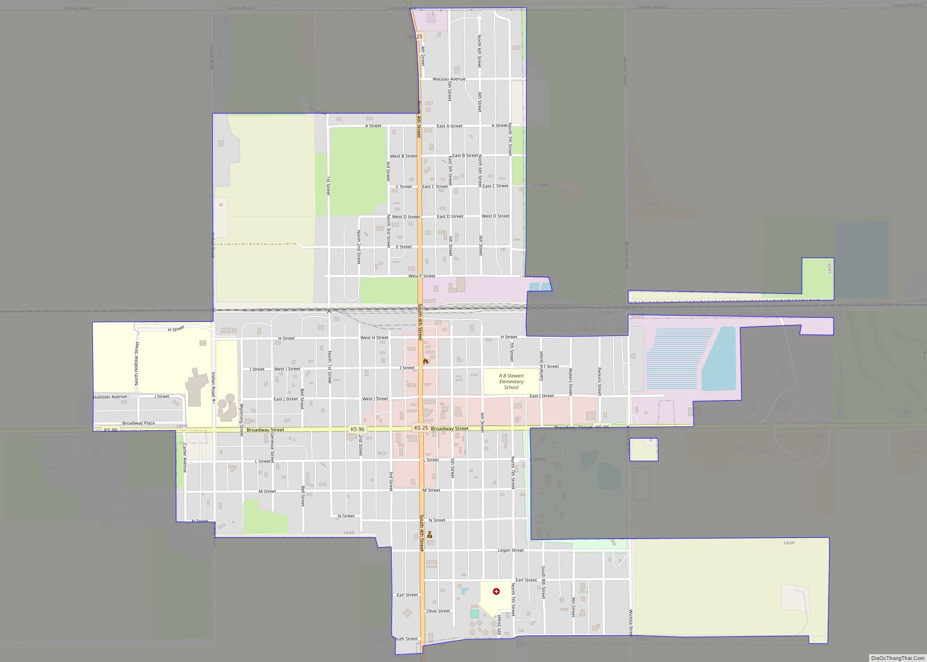
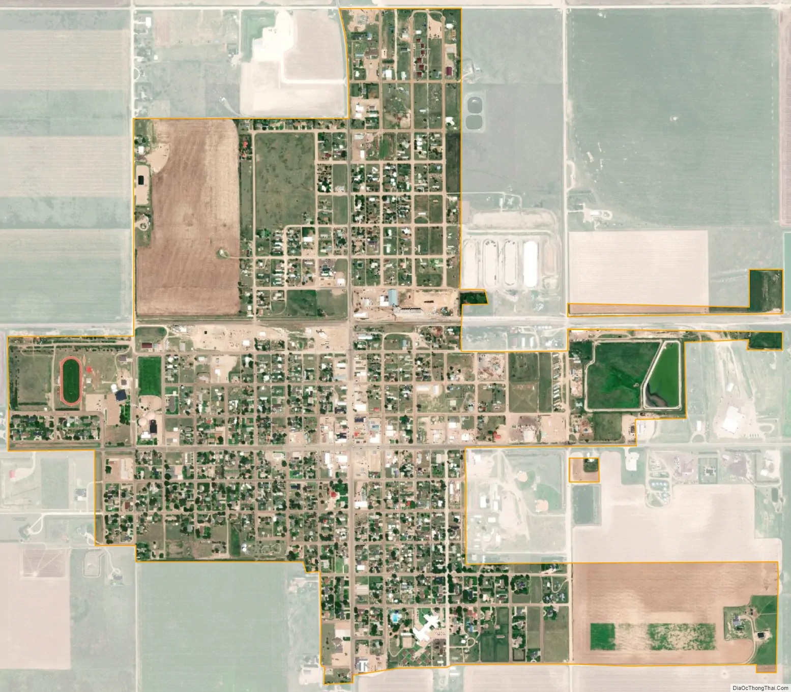
Leoti city Satellite Map
Geography
Leoti is located at 38°29′3″N 101°21′28″W / 38.48417°N 101.35778°W / 38.48417; -101.35778 (38.484073, -101.357639). According to the United States Census Bureau, the city has a total area of 1.31 square miles (3.39 km), all land.
Climate
According to the Köppen Climate Classification system, Leoti has a semi-arid climate, abbreviated “BSk” on climate maps.
See also
Map of Kansas State and its subdivision:- Allen
- Anderson
- Atchison
- Barber
- Barton
- Bourbon
- Brown
- Butler
- Chase
- Chautauqua
- Cherokee
- Cheyenne
- Clark
- Clay
- Cloud
- Coffey
- Comanche
- Cowley
- Crawford
- Decatur
- Dickinson
- Doniphan
- Douglas
- Edwards
- Elk
- Ellis
- Ellsworth
- Finney
- Ford
- Franklin
- Geary
- Gove
- Graham
- Grant
- Gray
- Greeley
- Greenwood
- Hamilton
- Harper
- Harvey
- Haskell
- Hodgeman
- Jackson
- Jefferson
- Jewell
- Johnson
- Kearny
- Kingman
- Kiowa
- Labette
- Lane
- Leavenworth
- Lincoln
- Linn
- Logan
- Lyon
- Marion
- Marshall
- McPherson
- Meade
- Miami
- Mitchell
- Montgomery
- Morris
- Morton
- Nemaha
- Neosho
- Ness
- Norton
- Osage
- Osborne
- Ottawa
- Pawnee
- Phillips
- Pottawatomie
- Pratt
- Rawlins
- Reno
- Republic
- Rice
- Riley
- Rooks
- Rush
- Russell
- Saline
- Scott
- Sedgwick
- Seward
- Shawnee
- Sheridan
- Sherman
- Smith
- Stafford
- Stanton
- Stevens
- Sumner
- Thomas
- Trego
- Wabaunsee
- Wallace
- Washington
- Wichita
- Wilson
- Woodson
- Wyandotte
- Alabama
- Alaska
- Arizona
- Arkansas
- California
- Colorado
- Connecticut
- Delaware
- District of Columbia
- Florida
- Georgia
- Hawaii
- Idaho
- Illinois
- Indiana
- Iowa
- Kansas
- Kentucky
- Louisiana
- Maine
- Maryland
- Massachusetts
- Michigan
- Minnesota
- Mississippi
- Missouri
- Montana
- Nebraska
- Nevada
- New Hampshire
- New Jersey
- New Mexico
- New York
- North Carolina
- North Dakota
- Ohio
- Oklahoma
- Oregon
- Pennsylvania
- Rhode Island
- South Carolina
- South Dakota
- Tennessee
- Texas
- Utah
- Vermont
- Virginia
- Washington
- West Virginia
- Wisconsin
- Wyoming