Lenexa /lɪˈnɛksə/ is a city in Johnson County, Kansas, United States. It is one of four principal cities of the Kansas City Metropolitan Area and 9th most populated city of Kansas. As of the 2020 census, the population of the city was 57,434. It is the birthplace of Garmin and the regional headquarters of Kiewit Construction. It is bordered by the cities of Shawnee to the north, Overland Park to the east, De Soto to the west and Olathe to the south.
| Name: | Lenexa city |
|---|---|
| LSAD Code: | 25 |
| LSAD Description: | city (suffix) |
| State: | Kansas |
| County: | Johnson County |
| Incorporated: | 1907 |
| Elevation: | 1,030 ft (310 m) |
| Total Area: | 34.39 sq mi (89.08 km²) |
| Land Area: | 34.07 sq mi (88.24 km²) |
| Water Area: | 0.32 sq mi (0.83 km²) 1.02% |
| Total Population: | 57,434 |
| Population Density: | 1,700/sq mi (640/km²) |
| ZIP code: | 66200-66299 |
| Area code: | 913 |
| FIPS code: | 2039350 |
| Website: | lenexa.com |
Online Interactive Map
Click on ![]() to view map in "full screen" mode.
to view map in "full screen" mode.
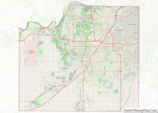
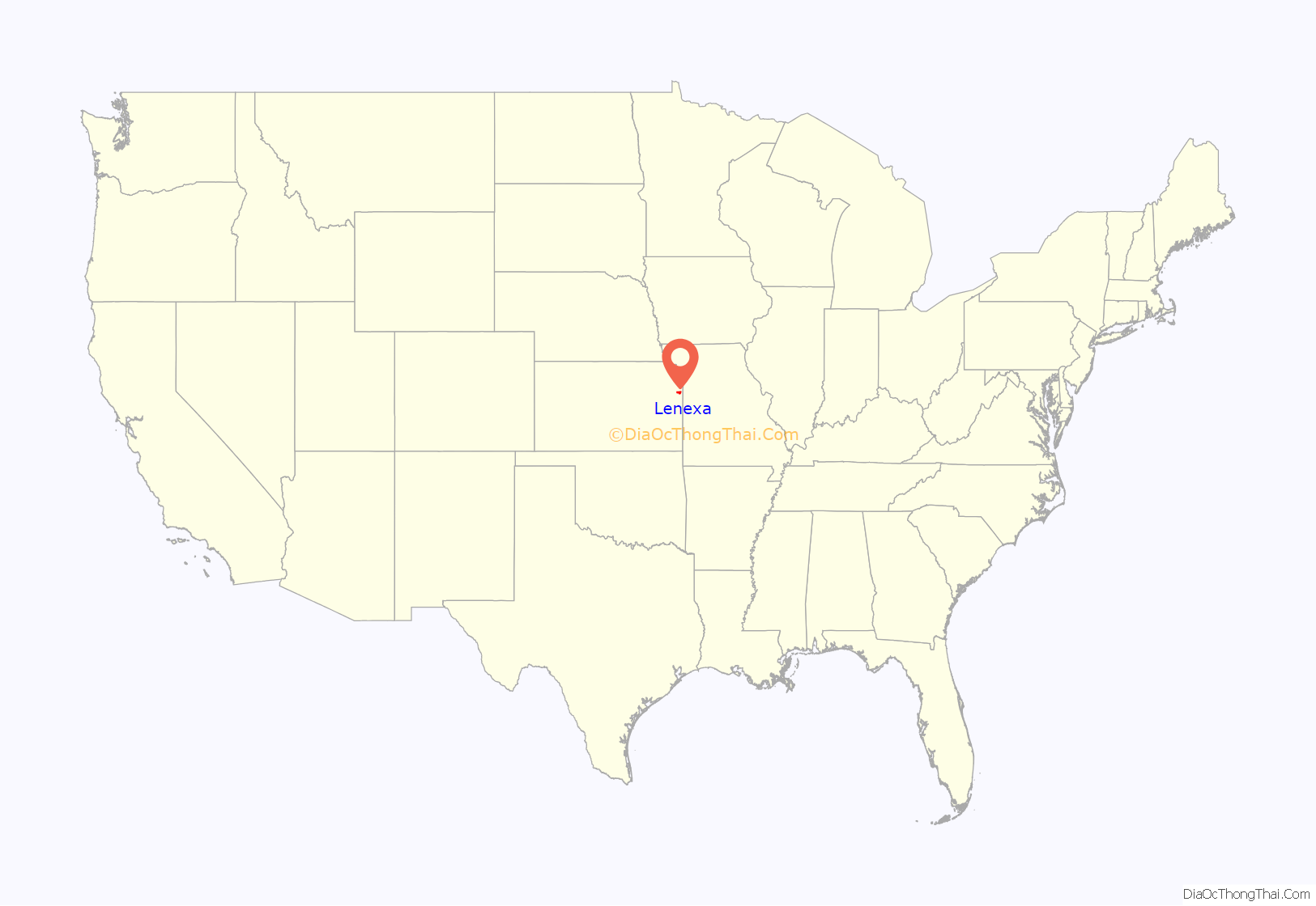
Lenexa location map. Where is Lenexa city?
History
Twelve years before the town of Lenexa was platted, James Butler Hickok staked a claim on 160 acres (65 ha) at what is now the corner of 83rd and Clare Road. Filed in 1857, the claim was not far from the Kansas River, and was 20 miles (32 km) southwest of Westport, Missouri, and the start of the Santa Fe Trail. The trail meandered through this area on its way to Santa Fe, New Mexico.
On March 22, 1858, Hickok was elected one of the first four constables of nearby Monticello Township. Later, Hickok became a scout for the Free-State Army, a sharpshooter and eventually, one of the most famous folk heroes of the American West, Wild Bill Hickok.
At about the same time as Hickok filed his claim, a census of the Shawnee Indians living in the area was being taken, and one of the residents listed was Na-Nex-Se Blackhoof. She was the widow of Chief Blackhoof, the second signer of the 1854 treaty that ceded 1,600,000 acres (650,000 ha) of the Kansas Shawnee Indian reservation to the United States government.
In 1865, the Kansas and Neosho Valley Railroad was organized to take advantage of favorable new land laws. It later changed its name to Missouri River, Ft. Scott and Gulf Railroad, and in 1869 purchased a right-of-way from C.A. Bradshaw in the area that is now Lenexa, with the stipulation that a depot be built on the property.
Bradshaw also sold 10.5 acres (4.2 ha) to Octave Chanute, a railroad civil engineer, who platted the town in 1869. Legend states that the first town name proposed was “Bradshaw”, but Bradshaw modestly refused and the name “Lenexa”, a derivation of the name Na-Nex-Se, the name of Shawnee Chief Thomas Blackhoof’s wife, was adopted.
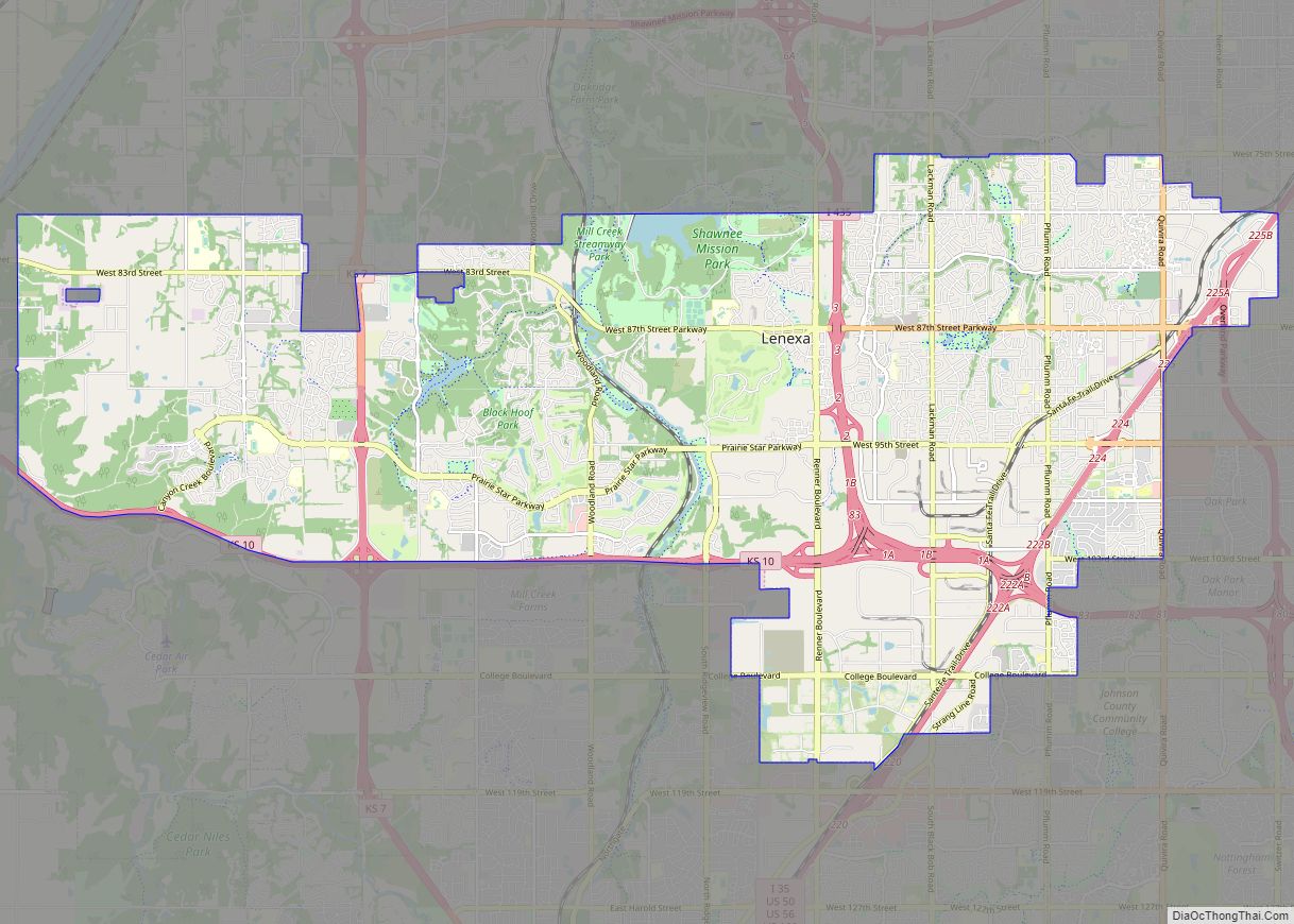
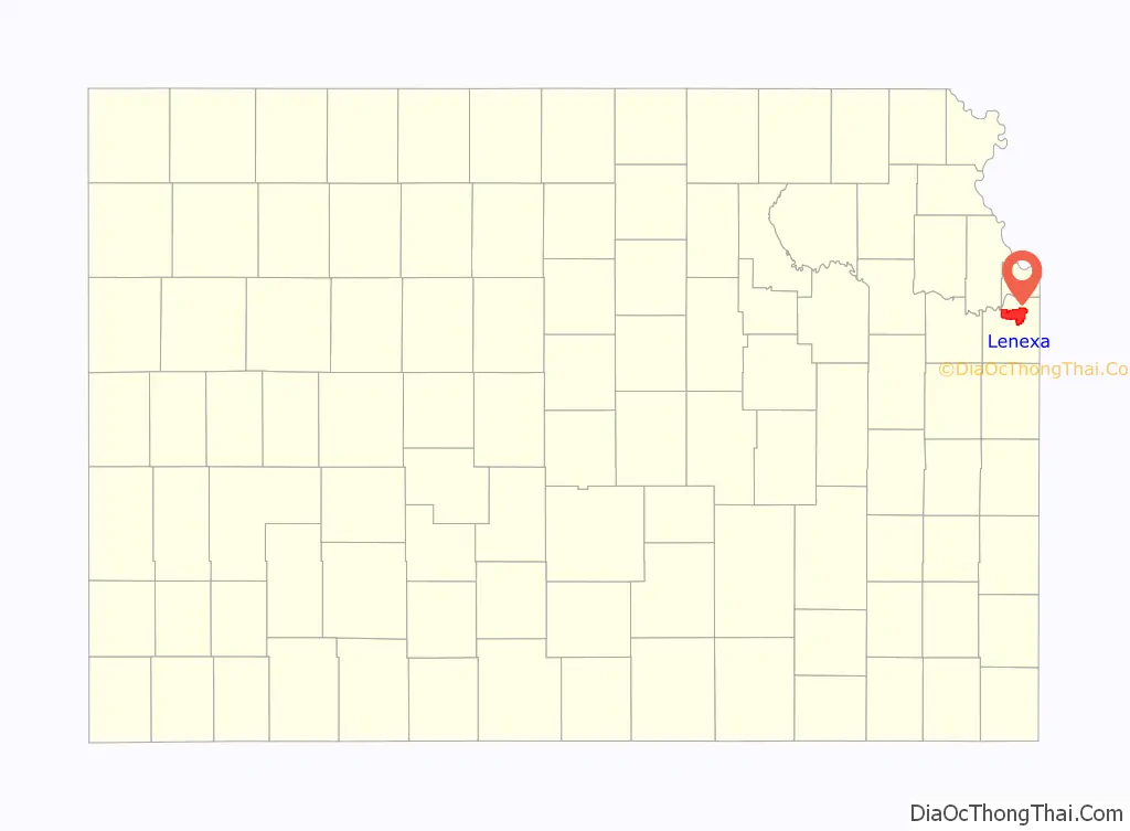
Lenexa Road Map

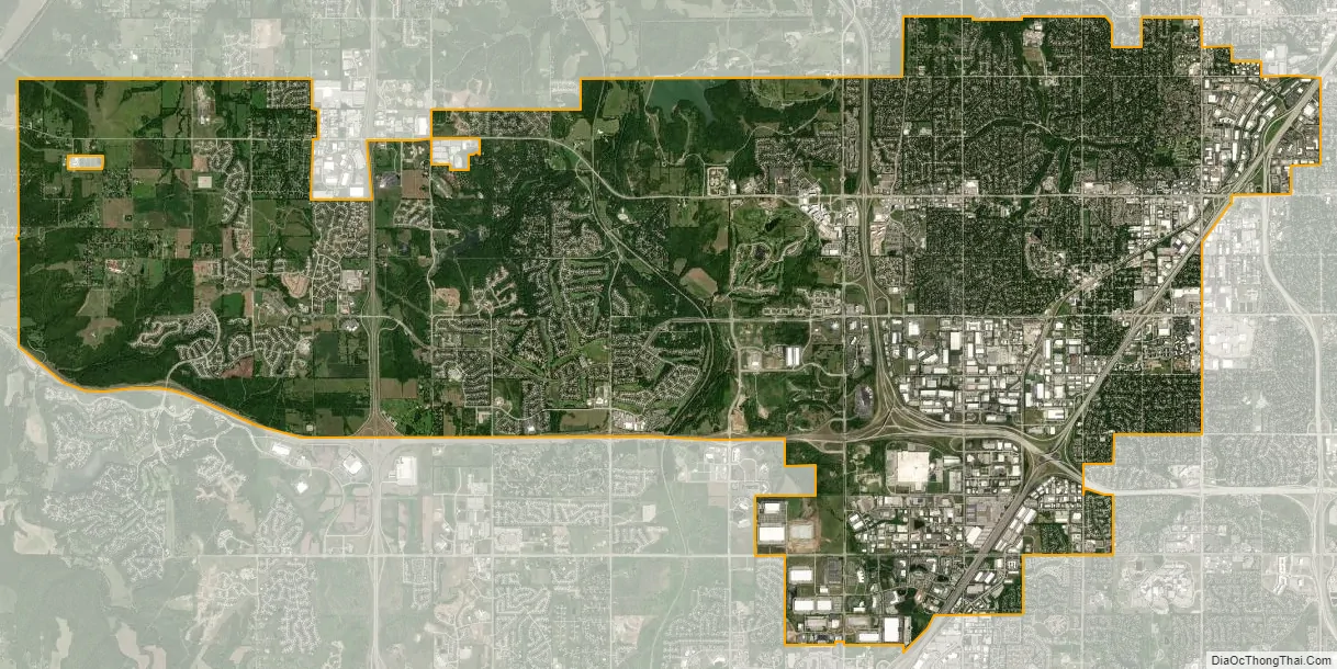
Lenexa city Satellite Map
Geography
Lenexa is located at 38°57′53″N 94°45′34″W / 38.96472°N 94.75944°W / 38.96472; -94.75944 (38.964689, -94.759535). According to the United States Census Bureau, the city has a total area of 34.45 square miles (89.23 km), of which, 34.10 square miles (88.32 km) is land and 0.35 square miles (0.91 km) is water.
See also
Map of Kansas State and its subdivision:- Allen
- Anderson
- Atchison
- Barber
- Barton
- Bourbon
- Brown
- Butler
- Chase
- Chautauqua
- Cherokee
- Cheyenne
- Clark
- Clay
- Cloud
- Coffey
- Comanche
- Cowley
- Crawford
- Decatur
- Dickinson
- Doniphan
- Douglas
- Edwards
- Elk
- Ellis
- Ellsworth
- Finney
- Ford
- Franklin
- Geary
- Gove
- Graham
- Grant
- Gray
- Greeley
- Greenwood
- Hamilton
- Harper
- Harvey
- Haskell
- Hodgeman
- Jackson
- Jefferson
- Jewell
- Johnson
- Kearny
- Kingman
- Kiowa
- Labette
- Lane
- Leavenworth
- Lincoln
- Linn
- Logan
- Lyon
- Marion
- Marshall
- McPherson
- Meade
- Miami
- Mitchell
- Montgomery
- Morris
- Morton
- Nemaha
- Neosho
- Ness
- Norton
- Osage
- Osborne
- Ottawa
- Pawnee
- Phillips
- Pottawatomie
- Pratt
- Rawlins
- Reno
- Republic
- Rice
- Riley
- Rooks
- Rush
- Russell
- Saline
- Scott
- Sedgwick
- Seward
- Shawnee
- Sheridan
- Sherman
- Smith
- Stafford
- Stanton
- Stevens
- Sumner
- Thomas
- Trego
- Wabaunsee
- Wallace
- Washington
- Wichita
- Wilson
- Woodson
- Wyandotte
- Alabama
- Alaska
- Arizona
- Arkansas
- California
- Colorado
- Connecticut
- Delaware
- District of Columbia
- Florida
- Georgia
- Hawaii
- Idaho
- Illinois
- Indiana
- Iowa
- Kansas
- Kentucky
- Louisiana
- Maine
- Maryland
- Massachusetts
- Michigan
- Minnesota
- Mississippi
- Missouri
- Montana
- Nebraska
- Nevada
- New Hampshire
- New Jersey
- New Mexico
- New York
- North Carolina
- North Dakota
- Ohio
- Oklahoma
- Oregon
- Pennsylvania
- Rhode Island
- South Carolina
- South Dakota
- Tennessee
- Texas
- Utah
- Vermont
- Virginia
- Washington
- West Virginia
- Wisconsin
- Wyoming