Lindsborg is a city in McPherson County, Kansas, United States. As of the 2020 census, the population of the city was 3,776. Lindsborg is known for its large Swedish, other Nordic and Scandinavian Americans (Nordic-Scandinavian), and German heritages, It is home of the biennial Svensk Hyllningsfest.
| Name: | Lindsborg city |
|---|---|
| LSAD Code: | 25 |
| LSAD Description: | city (suffix) |
| State: | Kansas |
| County: | McPherson County |
| Founded: | 1869 |
| Incorporated: | 1879 |
| Elevation: | 1,332 ft (406 m) |
| Total Area: | 1.85 sq mi (4.78 km²) |
| Land Area: | 1.83 sq mi (4.74 km²) |
| Water Area: | 0.02 sq mi (0.04 km²) |
| Total Population: | 3,776 |
| Population Density: | 2,000/sq mi (790/km²) |
| ZIP code: | 67456 |
| Area code: | 785 |
| FIPS code: | 2041375 |
| Website: | lindsborgcity.org |
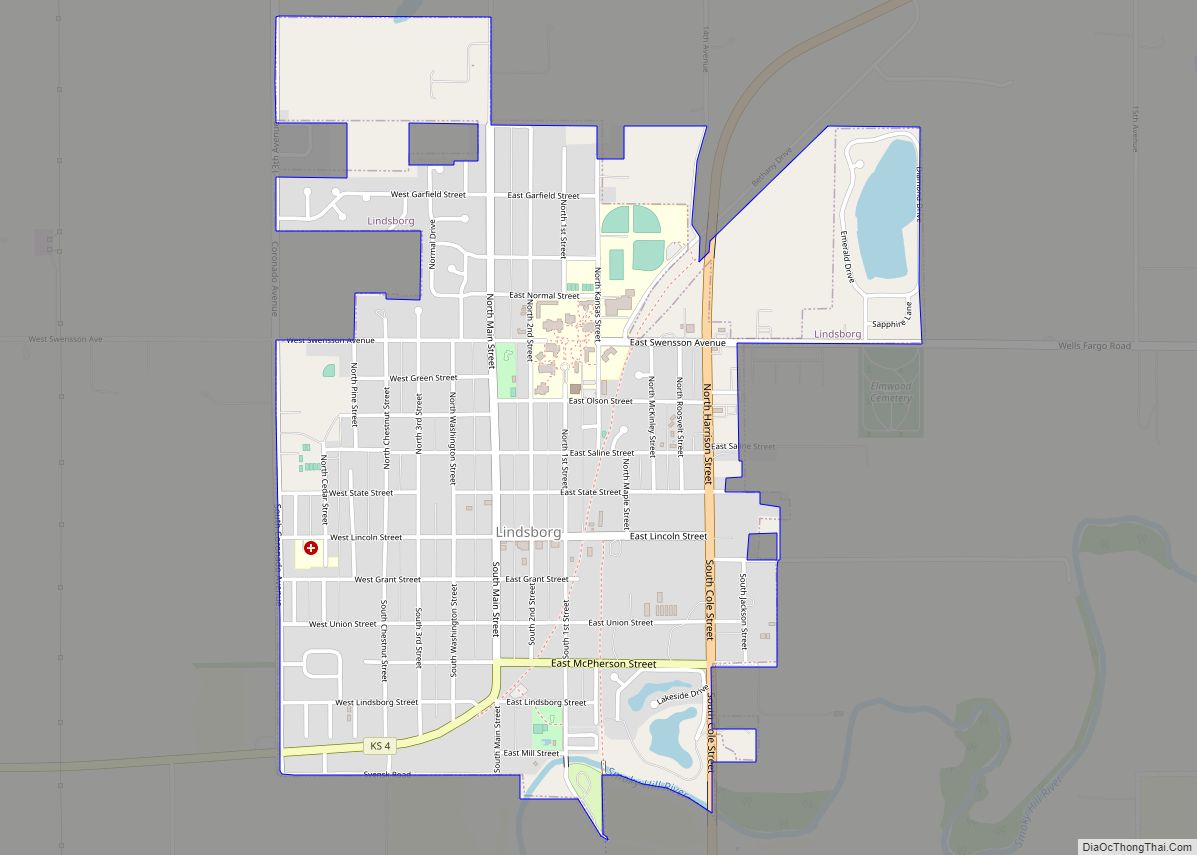
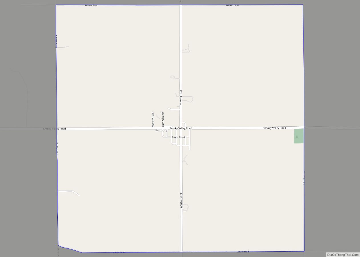
Online Interactive Map
Click on ![]() to view map in "full screen" mode.
to view map in "full screen" mode.
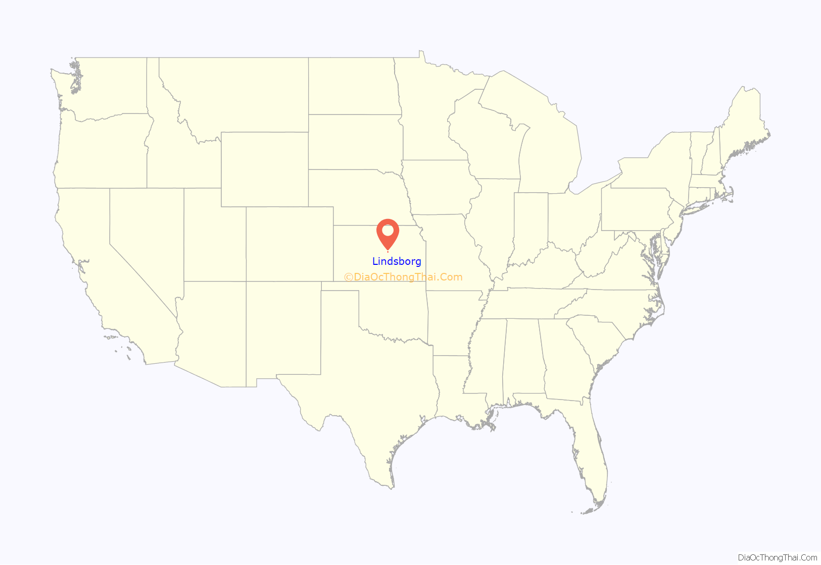
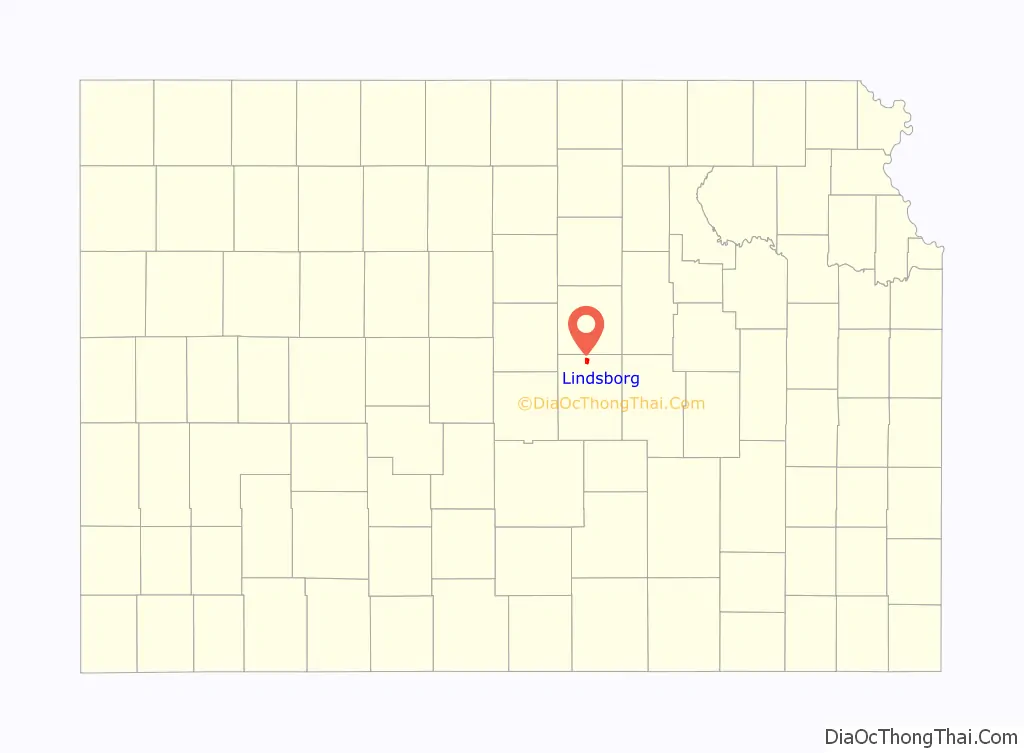
Lindsborg location map. Where is Lindsborg city?
History
For many millennia, the Great Plains of North America were inhabited by nomadic Native Americans. From the 16th to the 18th century, the Kingdom of France claimed ownership of large parts of North America. In 1762, after the French and Indian War, France secretly ceded New France to Spain, per the Treaty of Fontainebleau. In 1802, Spain returned most of the land to France. In 1803, the land for modern day Kansas was acquired by the United States from France for 2.83 cents per acre as part of the 828,000 square-mile Louisiana Purchase.
In 1854, the Kansas Territory was organized and in 1861 Kansas became the 34th U.S. state. McPherson County, which included the land for the future Lindsborg, was established in 1867. Lindsborg was settled in the spring of 1869 by a group of immigrants from the Värmland province of Sweden led by Pastor Olof Olsson. In 1879, the same year Lindsborg incorporated as a city, the first railroad came through.
Lindsborg translates as Linden Castle from Swedish to English, referring to a tree name known in Europe for a species of tilia (Swedish: lind). The community is named for four men whose surnames included “Lind”, N. P. Linde, S. P. Lindgren, S. A. Lindell, and J. O. Lindh, who had held prominent positions in a Chicago organization of Swedish farmers (Svenska Lantbrukskompaniet or First Swedish Agricultural Company) which was involved in the settling of Lindsborg until 1877.
Thirty percent of the current residents are of Swedish descent. Because the town has retained so much of the heritage of its founders, it has become known as “Little Sweden”. The downtown features gift shops that specialize in Swedish souvenirs, including various sizes of Dala horses. Lindsborg has long been noted for the Svensk Hyllningsfest, a biennial celebration held in October of odd-numbered years since 1941, and other efforts to honor its heritage.
Lindsborg is the home of the Swedish Pavilion, which was originally constructed as an international exposition building for the 1904 St. Louis World’s Fair. After the fair, it was purchased by W. W. Thomas, U.S. Minister to Sweden and Norway, and presented to Lindsborg’s Bethany College as a memorial to his friend Dr. Rev. Carl Aaron Swensson, the school’s recently deceased founder. At Bethany, it was used by the art department as a classroom, library, and museum. It was moved to the Lindsborg Old Mill & Swedish Heritage Museum, also in Lindsborg, in 1969.
The Birger Sandzén Memorial Gallery is located in Lindsborg. Dedicated on October 20, 1957, on the Bethany College campus, it showcases the works of the artist Birger Sandzén who lived in the city. The gallery houses the largest and most extensive collection of his paintings, prints, and drawings found anywhere in the world.
Swedish King Carl XVI Gustaf visited Lindsborg in April 1976 during his royal tour of the United States.
In 2004, Lindsborg was named Chess City of the Year by the United States Chess Federation.
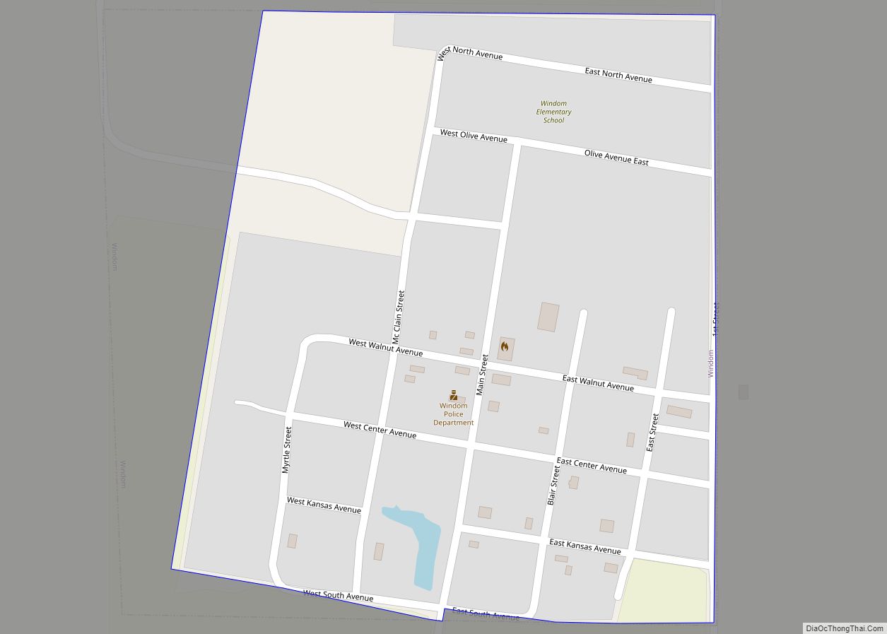
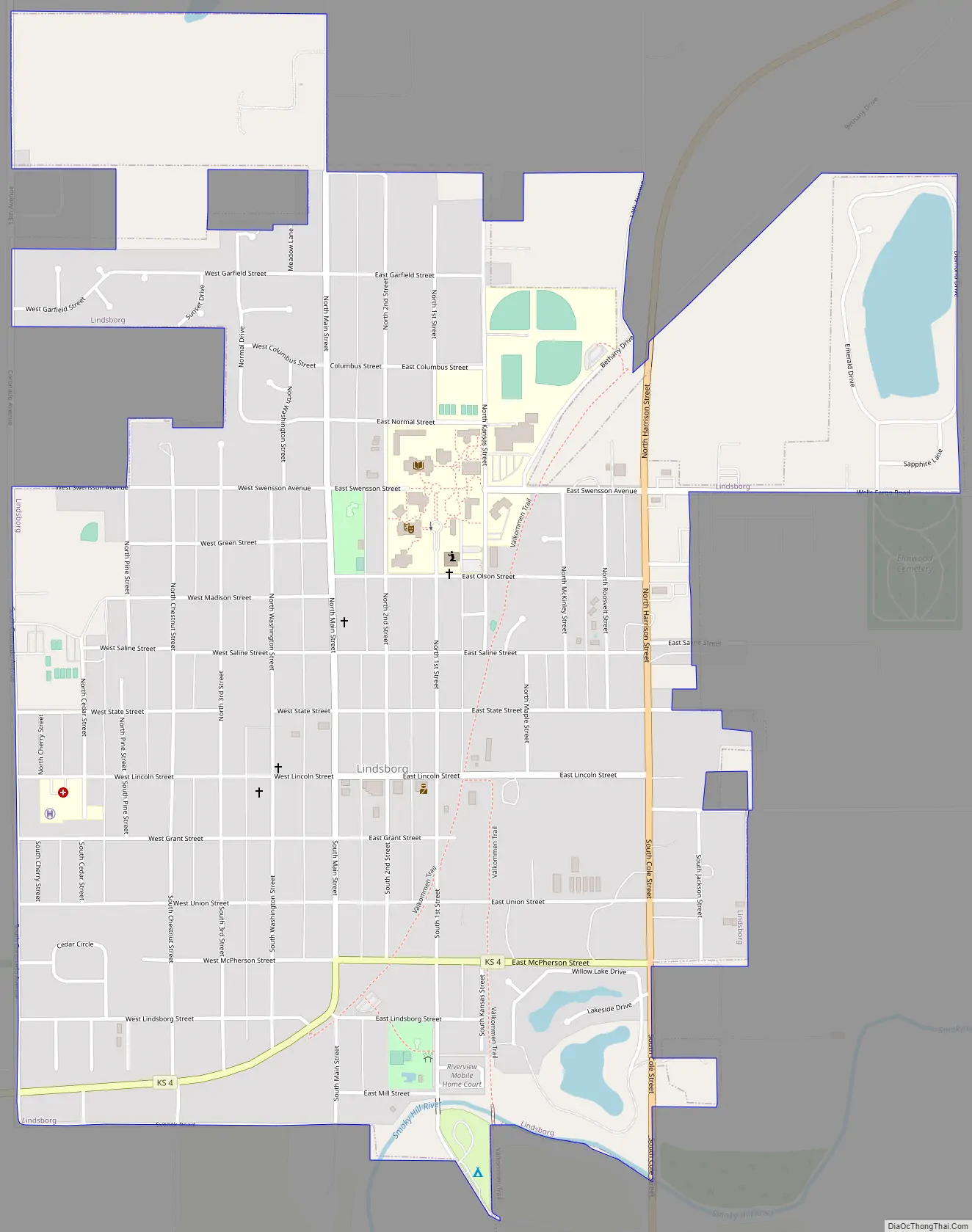
Lindsborg Road Map
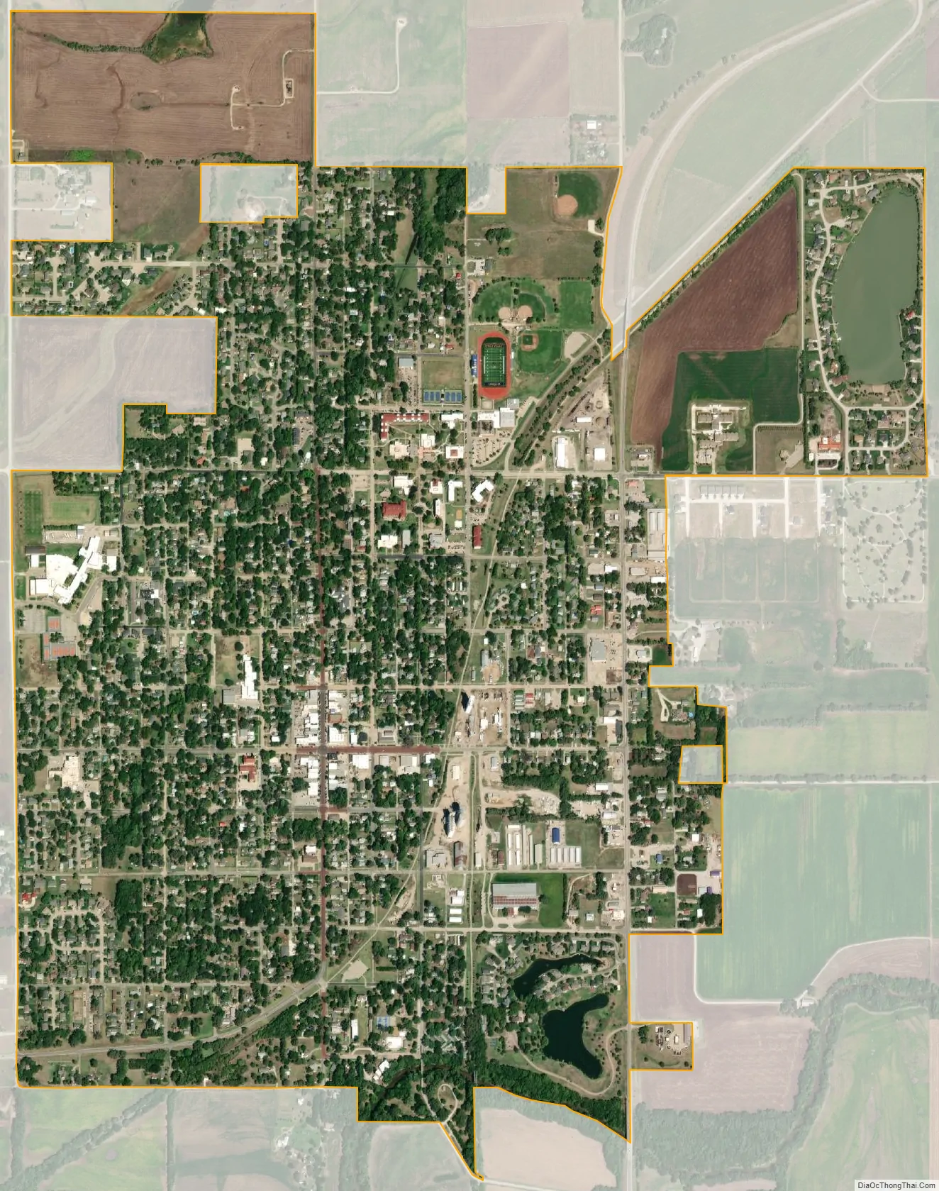
Lindsborg city Satellite Map
Geography
Lindsborg is located at 38°34′25″N 97°40′28″W / 38.57361°N 97.67444°W / 38.57361; -97.67444 (38.5736176, -97.6744838). According to the United States Census Bureau, the city has a total area of 1.69 square miles (4.38 km), of which 1.67 square miles (4.33 km) is land and 0.02 square miles (0.05 km) is water.
Climate
The climate in this area is characterized by hot, humid summers and generally mild to cool winters. According to the Köppen Climate Classification system, Lindsborg has a humid subtropical climate, abbreviated “Cfa” on climate maps.
See also
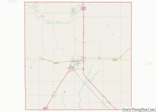
Map of Kansas State and its subdivision:- Allen
- Anderson
- Atchison
- Barber
- Barton
- Bourbon
- Brown
- Butler
- Chase
- Chautauqua
- Cherokee
- Cheyenne
- Clark
- Clay
- Cloud
- Coffey
- Comanche
- Cowley
- Crawford
- Decatur
- Dickinson
- Doniphan
- Douglas
- Edwards
- Elk
- Ellis
- Ellsworth
- Finney
- Ford
- Franklin
- Geary
- Gove
- Graham
- Grant
- Gray
- Greeley
- Greenwood
- Hamilton
- Harper
- Harvey
- Haskell
- Hodgeman
- Jackson
- Jefferson
- Jewell
- Johnson
- Kearny
- Kingman
- Kiowa
- Labette
- Lane
- Leavenworth
- Lincoln
- Linn
- Logan
- Lyon
- Marion
- Marshall
- McPherson
- Meade
- Miami
- Mitchell
- Montgomery
- Morris
- Morton
- Nemaha
- Neosho
- Ness
- Norton
- Osage
- Osborne
- Ottawa
- Pawnee
- Phillips
- Pottawatomie
- Pratt
- Rawlins
- Reno
- Republic
- Rice
- Riley
- Rooks
- Rush
- Russell
- Saline
- Scott
- Sedgwick
- Seward
- Shawnee
- Sheridan
- Sherman
- Smith
- Stafford
- Stanton
- Stevens
- Sumner
- Thomas
- Trego
- Wabaunsee
- Wallace
- Washington
- Wichita
- Wilson
- Woodson
- Wyandotte
- Alabama
- Alaska
- Arizona
- Arkansas
- California
- Colorado
- Connecticut
- Delaware
- District of Columbia
- Florida
- Georgia
- Hawaii
- Idaho
- Illinois
- Indiana
- Iowa
- Kansas
- Kentucky
- Louisiana
- Maine
- Maryland
- Massachusetts
- Michigan
- Minnesota
- Mississippi
- Missouri
- Montana
- Nebraska
- Nevada
- New Hampshire
- New Jersey
- New Mexico
- New York
- North Carolina
- North Dakota
- Ohio
- Oklahoma
- Oregon
- Pennsylvania
- Rhode Island
- South Carolina
- South Dakota
- Tennessee
- Texas
- Utah
- Vermont
- Virginia
- Washington
- West Virginia
- Wisconsin
- Wyoming