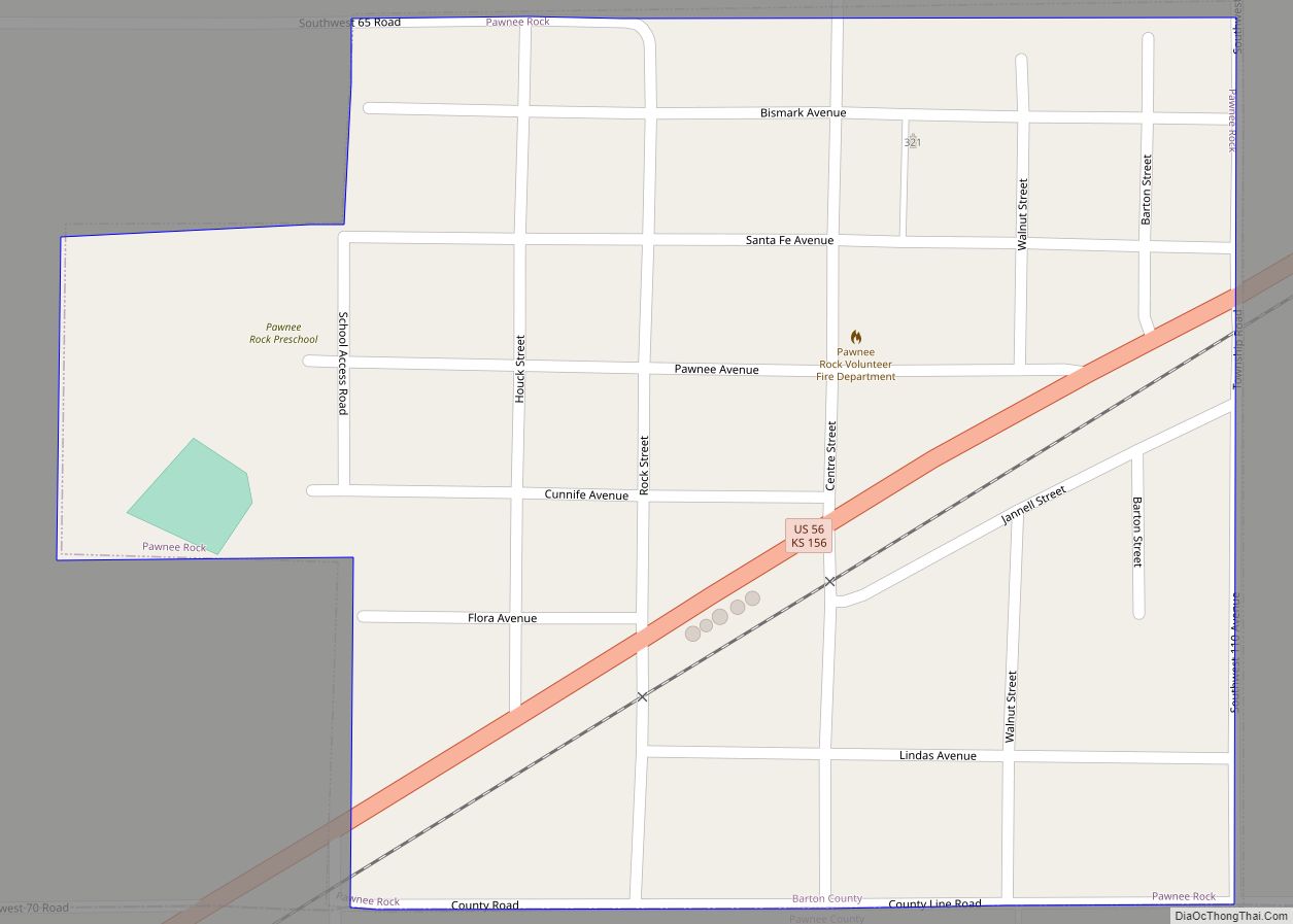
Pawnee Rock is a city in Barton County, Kansas, United States. As of the 2020 census, the population of the city was 193. Pawnee Rock city overview: Name: Pawnee Rock city LSAD Code: 25 LSAD Description: city (suffix) State: Kansas County: Barton County Founded: 1874 Incorporated: 1887 Elevation: 1,946 ft (593 m) Total Area: 0.28 sq mi (0.73 km²) Land ... Read more
Kansas Cities and Places
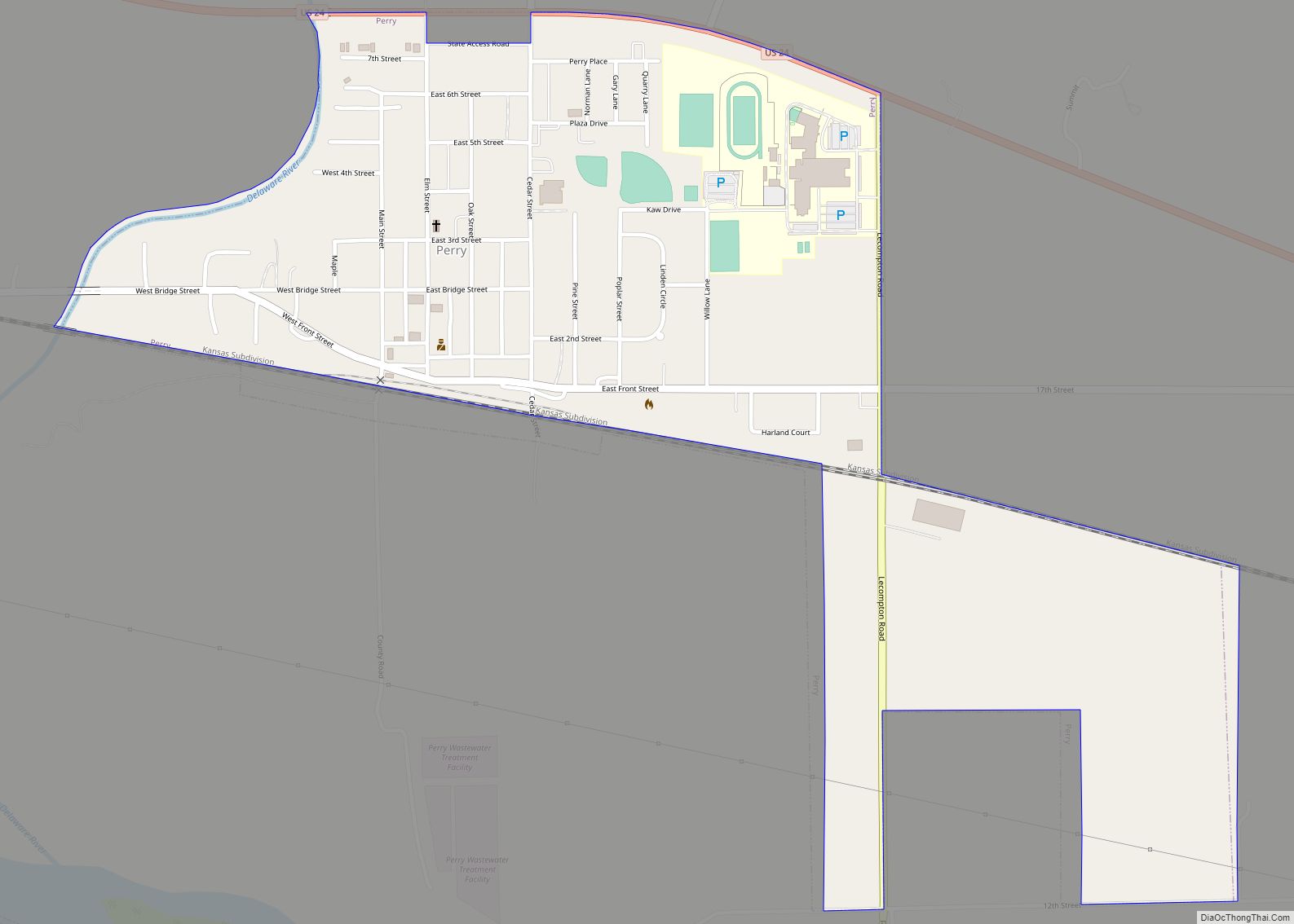
Perry is a city in Jefferson County, Kansas, United States. As of the 2020 census, the population of the city was 852. Perry city overview: Name: Perry city LSAD Code: 25 LSAD Description: city (suffix) State: Kansas County: Jefferson County Founded: 1865 Incorporated: 1871 Elevation: 853 ft (260 m) Total Area: 0.76 sq mi (1.97 km²) Land Area: 0.75 sq mi (1.94 km²) ... Read more
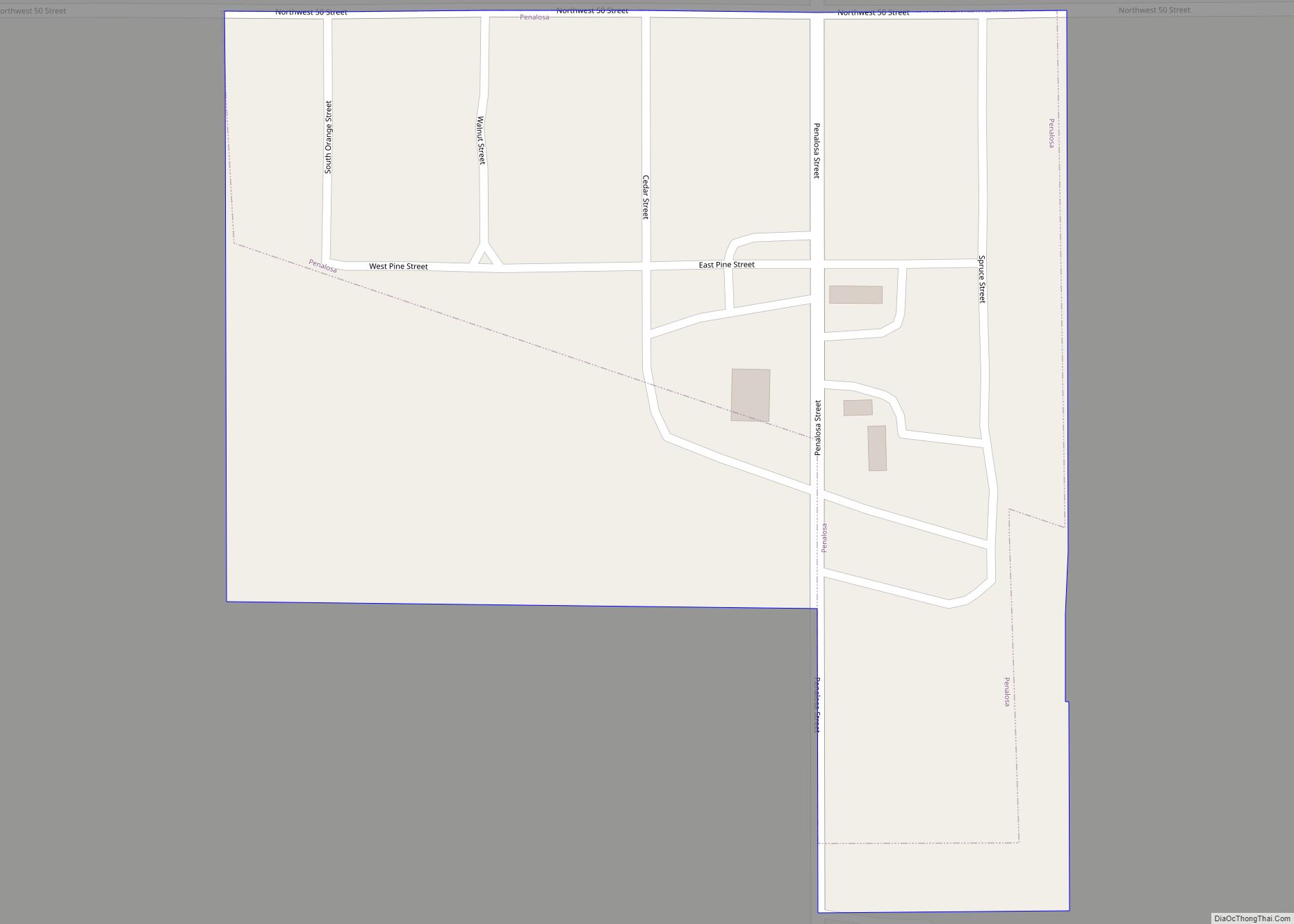
Penalosa is a city in Kingman County, Kansas, United States. As of the 2020 census, the population of the city was 18. Penalosa city overview: Name: Penalosa city LSAD Code: 25 LSAD Description: city (suffix) State: Kansas County: Kingman County Founded: 1880s Incorporated: 1929 Elevation: 1,726 ft (526 m) Total Area: 0.10 sq mi (0.27 km²) Land Area: 0.10 sq mi (0.27 km²) ... Read more
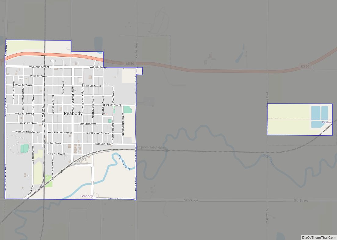
Peabody is a city in Marion County, Kansas, United States. It is named after F.H. Peabody of Boston, former vice-president of the Atchison, Topeka and Santa Fe Railway. Peabody is well known in the region for its Independence Day Celebration on July 4, and its historic 1880s downtown main street. As of the 2020 census, ... Read more
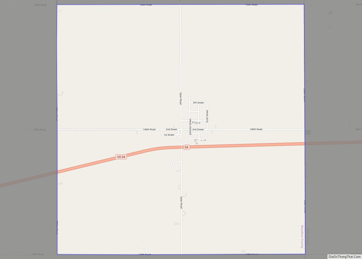
Piqua is an unincorporated community in Woodson County, Kansas, United States. As of the 2020 census, the population of the community and nearby areas was 90. Piqua CDP overview: Name: Piqua CDP LSAD Code: 57 LSAD Description: CDP (suffix) State: Kansas County: Woodson County Founded: 1882 Elevation: 1,027 ft (313 m) Total Area: 4.007 sq mi (10.38 km²) Land Area: ... Read more
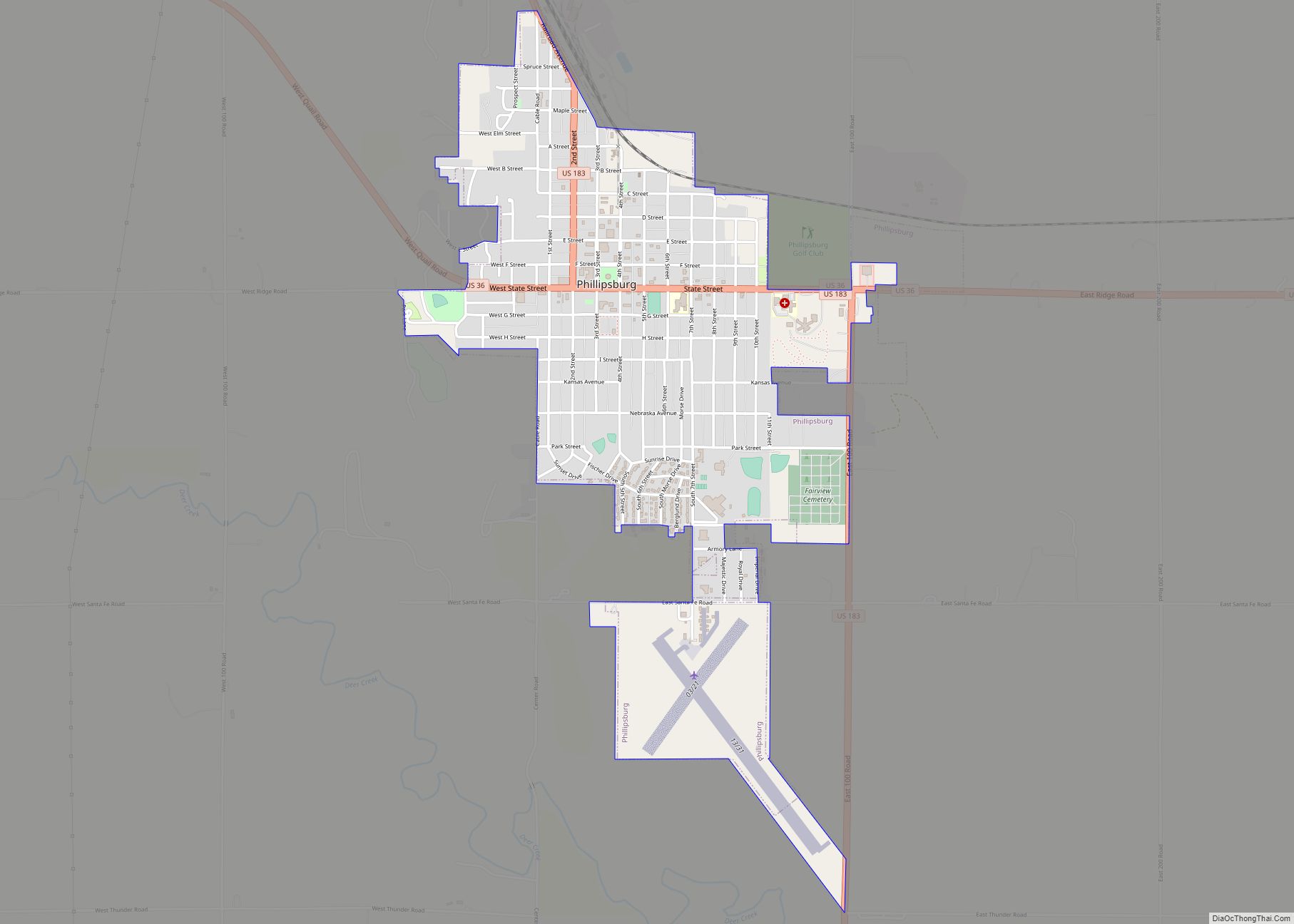
Phillipsburg is a city in, and the county seat of, Phillips County, Kansas, United States. As of the 2020 census, its population was 2,337. Phillipsburg city overview: Name: Phillipsburg city LSAD Code: 25 LSAD Description: city (suffix) State: Kansas County: Phillips County Founded: 1872 Incorporated: 1872 Elevation: 1,946 ft (593 m) Total Area: 1.70 sq mi (4.39 km²) Land Area: ... Read more
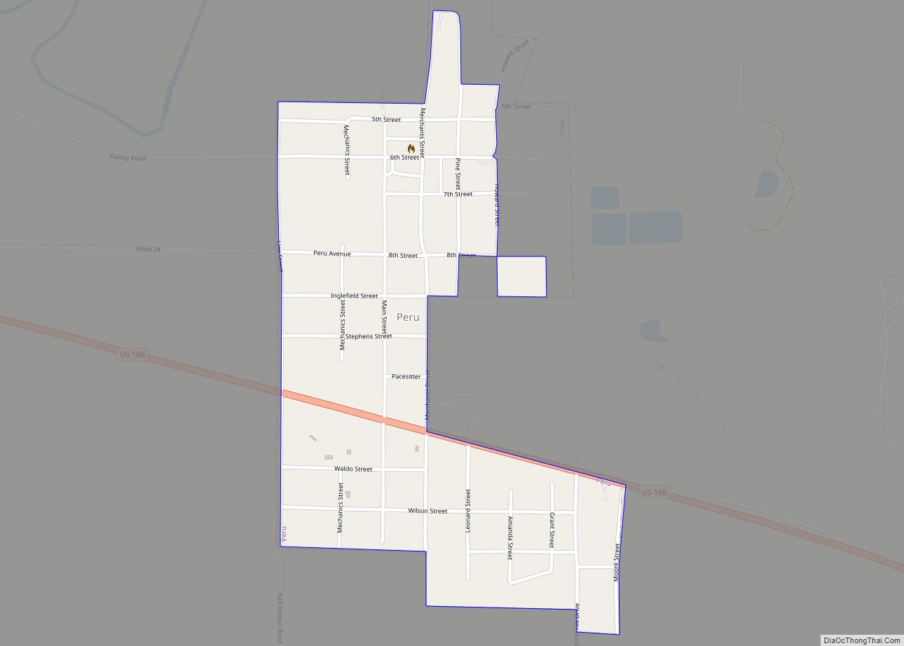
Peru is a city in Chautauqua County, Kansas, United States. As of the 2020 census, the population of the city was 101. Peru city overview: Name: Peru city LSAD Code: 25 LSAD Description: city (suffix) State: Kansas County: Chautauqua County Founded: 1870 Incorporated: 1904 Elevation: 784 ft (239 m) Total Area: 0.32 sq mi (0.84 km²) Land Area: 0.32 sq mi (0.84 km²) ... Read more
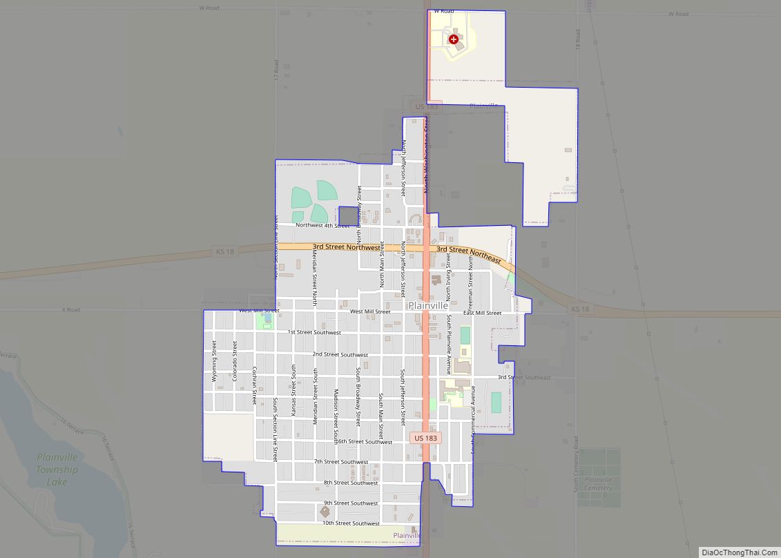
Plainville is a city in Rooks County, Kansas, United States. As of the 2020 census, the population of the city was 1,746. It was named from its setting upon the plains. Plainville city overview: Name: Plainville city LSAD Code: 25 LSAD Description: city (suffix) State: Kansas County: Rooks County Founded: 1870s Incorporated: 1888 Elevation: 2,142 ft ... Read more
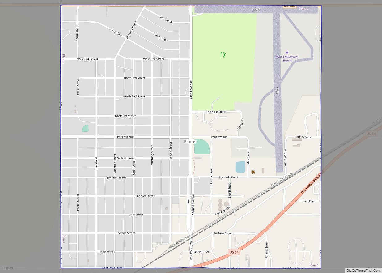
Plains is a city in Meade County, Kansas, United States. As of the 2020 census, the population of the city was 1,037. It is notable for the width of its main street which is the widest in the United States at 155 feet 5 inches (47.37 m) across. Plains city overview: Name: Plains city LSAD Code: 25 LSAD ... Read more
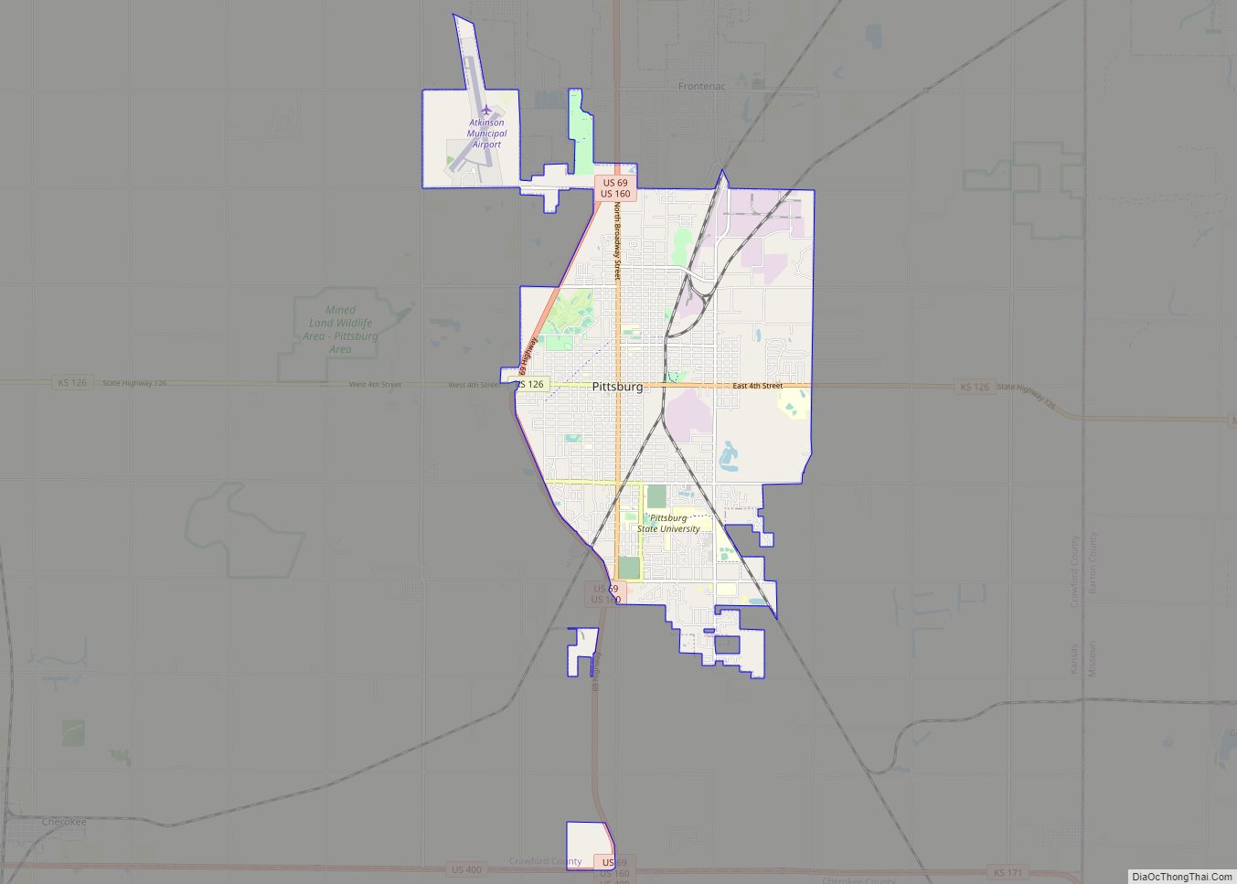
Pittsburg is a city in Crawford County, Kansas, United States, located in southeast Kansas near the Missouri state border. It is the most populous city in Crawford County and southeast Kansas. As of the 2020 census, the population of the city was 20,646. It is the home of Pittsburg State University. Pittsburg city overview: Name: ... Read more
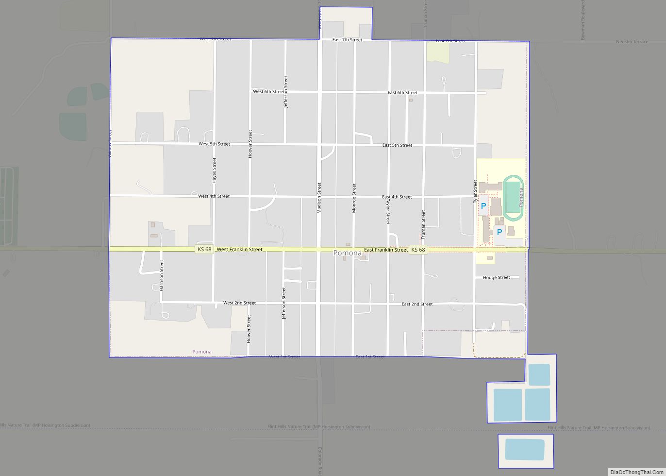
Pomona is a city in Franklin County, Kansas, United States. As of the 2020 census, the population of the city was 884. Pomona city overview: Name: Pomona city LSAD Code: 25 LSAD Description: city (suffix) State: Kansas County: Franklin County Founded: 1869 Incorporated: 1885 Elevation: 965 ft (294 m) Total Area: 0.80 sq mi (2.07 km²) Land Area: 0.79 sq mi (2.05 km²) ... Read more
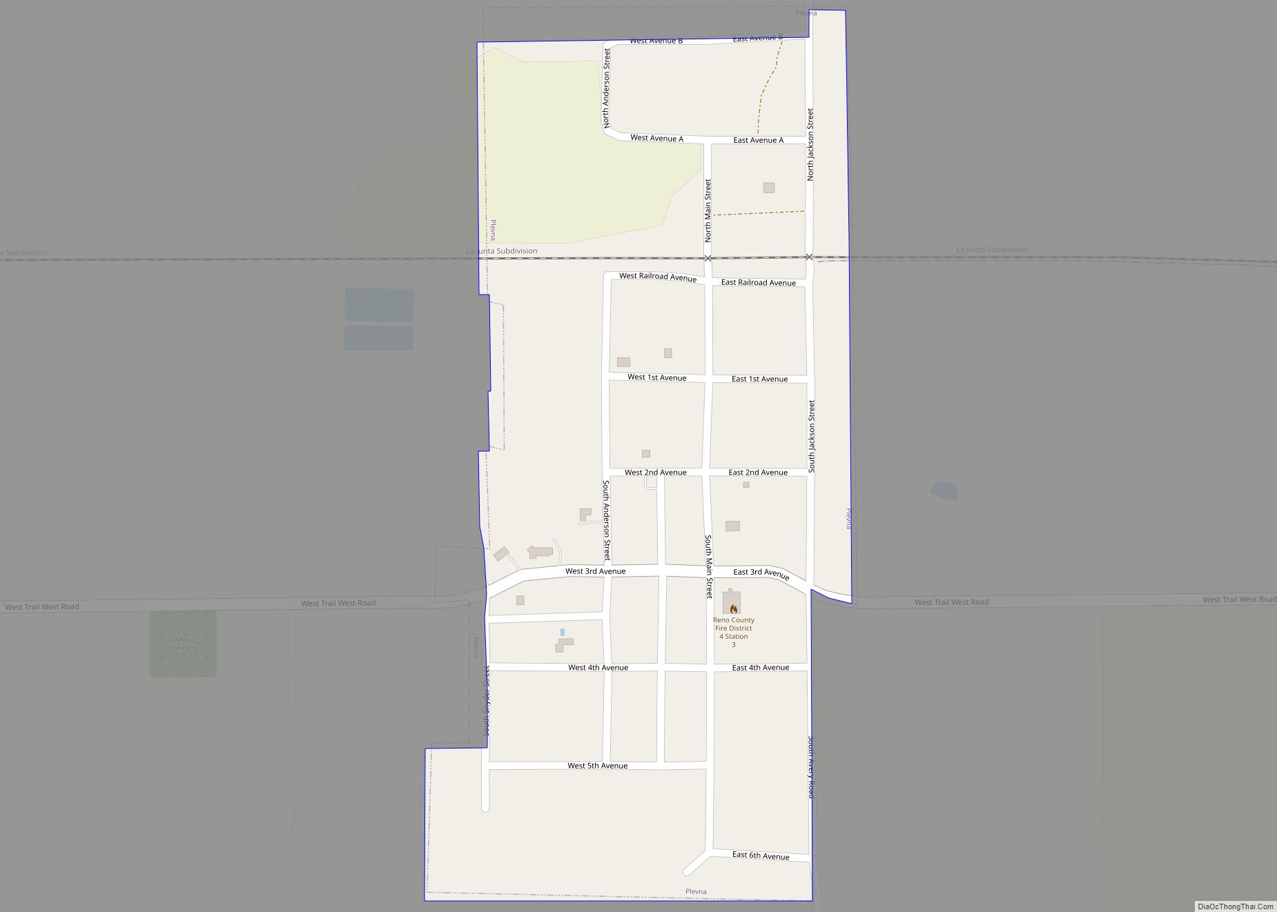
Plevna is a city in Reno County, Kansas, United States. As of the 2020 census, the population of the city was 85. Plevna city overview: Name: Plevna city LSAD Code: 25 LSAD Description: city (suffix) State: Kansas County: Reno County Founded: 1870s Incorporated: 1910 Elevation: 1,686 ft (514 m) Total Area: 0.23 sq mi (0.58 km²) Land Area: 0.23 sq mi (0.58 km²) ... Read more
