Plainville is a city in Rooks County, Kansas, United States. As of the 2020 census, the population of the city was 1,746. It was named from its setting upon the plains.
| Name: | Plainville city |
|---|---|
| LSAD Code: | 25 |
| LSAD Description: | city (suffix) |
| State: | Kansas |
| County: | Rooks County |
| Founded: | 1870s |
| Incorporated: | 1888 |
| Elevation: | 2,142 ft (653 m) |
| Total Area: | 1.20 sq mi (3.10 km²) |
| Land Area: | 1.20 sq mi (3.10 km²) |
| Water Area: | 0.00 sq mi (0.00 km²) |
| Total Population: | 1,746 |
| Population Density: | 1,500/sq mi (560/km²) |
| ZIP code: | 67663 |
| Area code: | 785 |
| FIPS code: | 2056150 |
| Website: | plainvilleks.com |
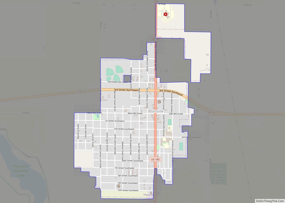
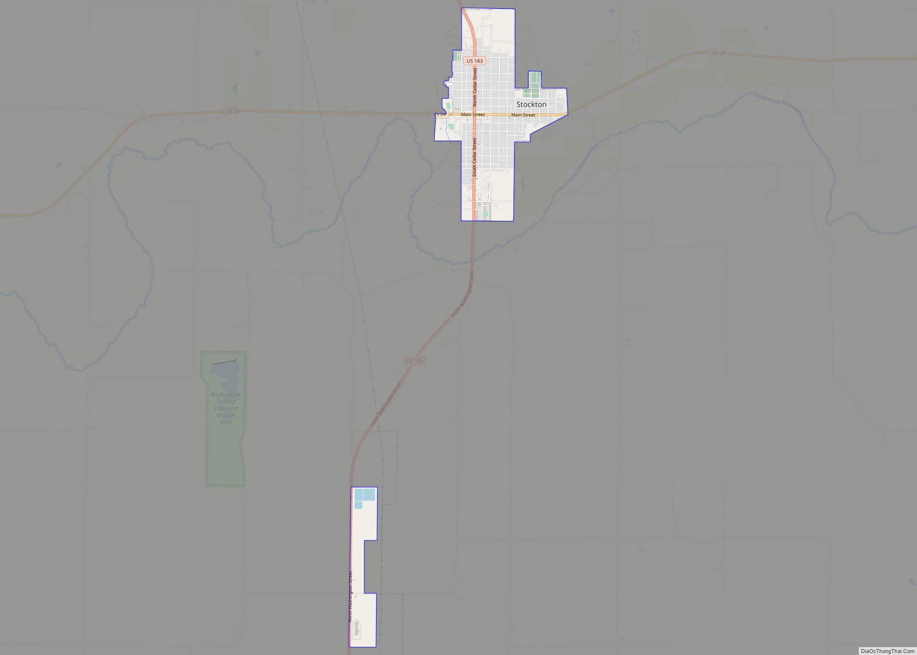
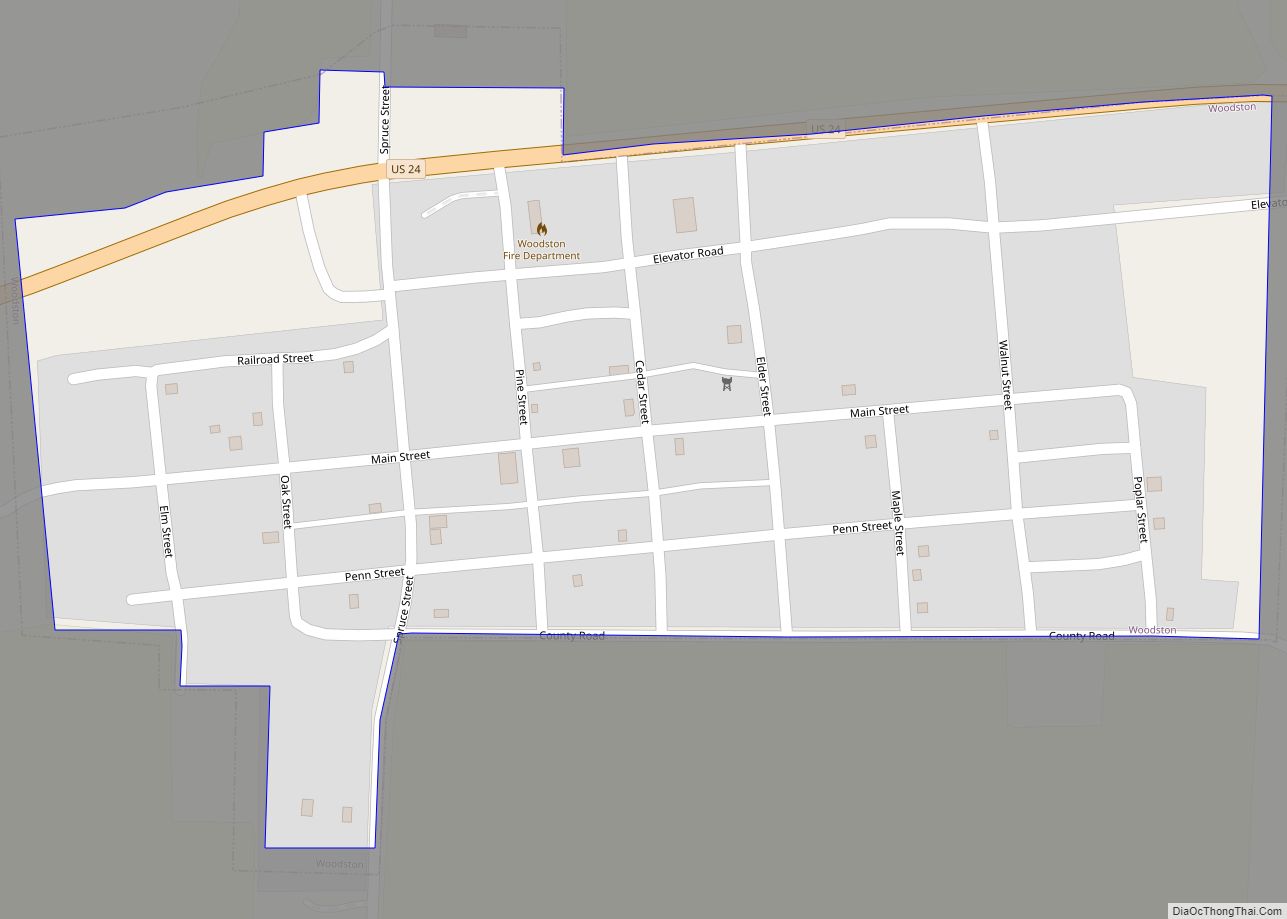
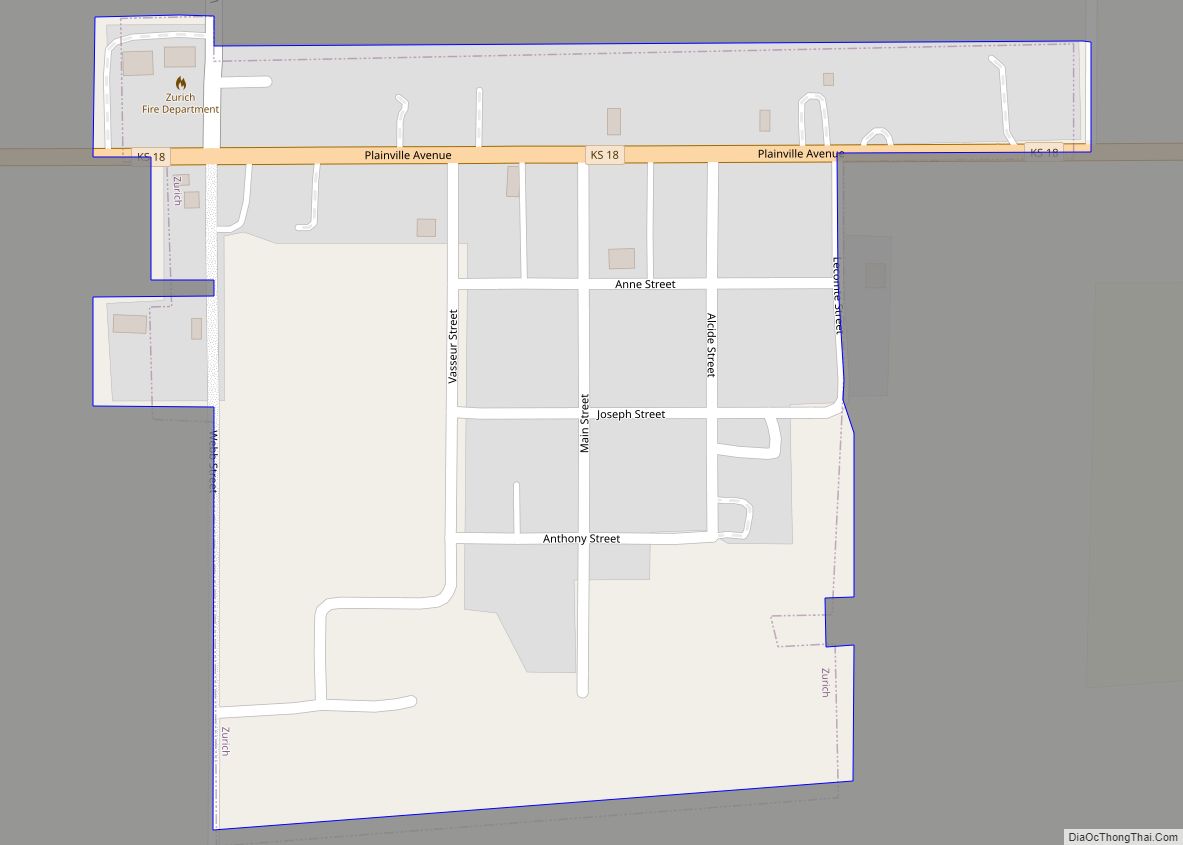
Online Interactive Map
Click on ![]() to view map in "full screen" mode.
to view map in "full screen" mode.
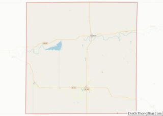
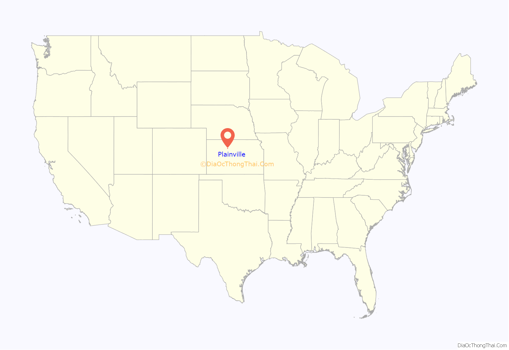
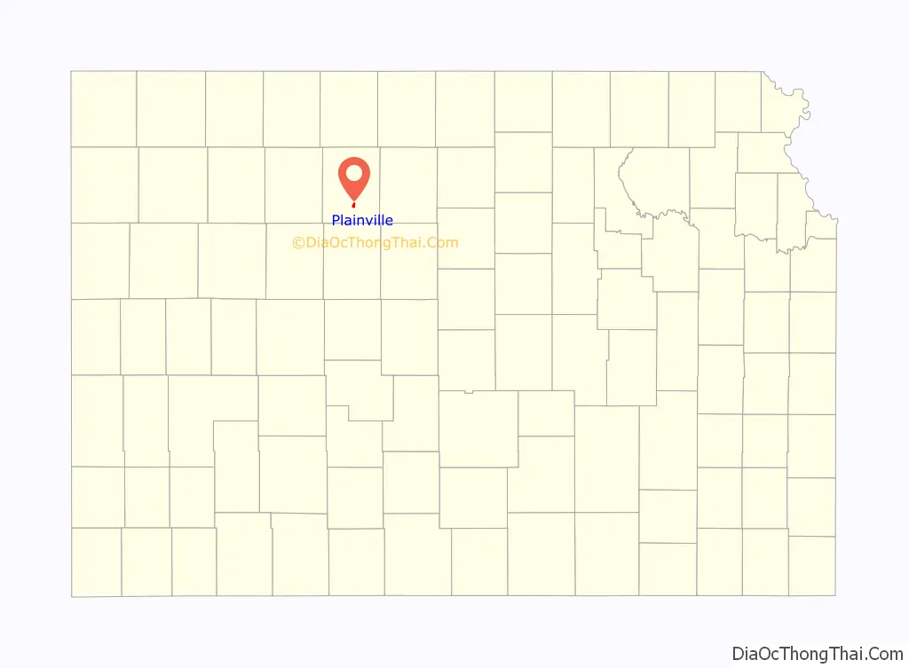
Plainville location map. Where is Plainville city?
History
Washington Irving Griffin settled along a freight trail in an area known as Paradise Flats in 1877. In order to establish a post office, Griffin completed a US Postal Service application that required the signature of the local Justice of the Peace. While reviewing the application, Justice of the Peace Lambert P. Darland suggested the name “Plainville”. Griffin operated the Plainville post office and a small store from his sod house, the first structure in what would become the city of Plainville.
In 1888, Plainville filed for incorporation with 500 residents. Dan E. Miller was elected the first mayor. The first city council consisted of Dr. Volney M. Gray, Murray C. Knox, John Mullin, George Brooks and David E. Mickey.
Union Pacific Railroad established an east–west route through Plainville in August 1888. The train tracks ran parallel to Mill Street, approximately one block to the north. The Train Depot was located on the northwest corner of N First Street and Meridian Street. A Roundhouse was located at N First Street and Madison Street.
Plainville Mill & Elevator Co., (est. 1893) was a major employer and purchaser of locally grown wheat. The original mill was destroyed by fire in 1899 and soon replaced by a larger mill. The flour produced by the mill was of such fine quality, the company won a gold medal at the 1904 World’s Fair. The mill was again destroyed by fire in 1950. Plainville Mill & Elevator Co. was located on N First Street between Madison and Meridian Streets.
In 1909, fire devastated the Plainville business district. The fire apparently started in a butcher shop on the south side of Mill Street in the early morning hours. Fire quickly spread to the north side of Mill Street. Seventeen structures were destroyed before the fire was contained. The burned out wooden buildings were replaced with stone and brick structures, many still standing on Mill Street today.
Oil was discovered in Rooks County in 1927. The oil boom brought significant growth to Plainville in the 1940s and 1950s. The Bemis-Shutts oil field in the Saline River valley south of Plainville is one of the largest oil producers in the state of Kansas.
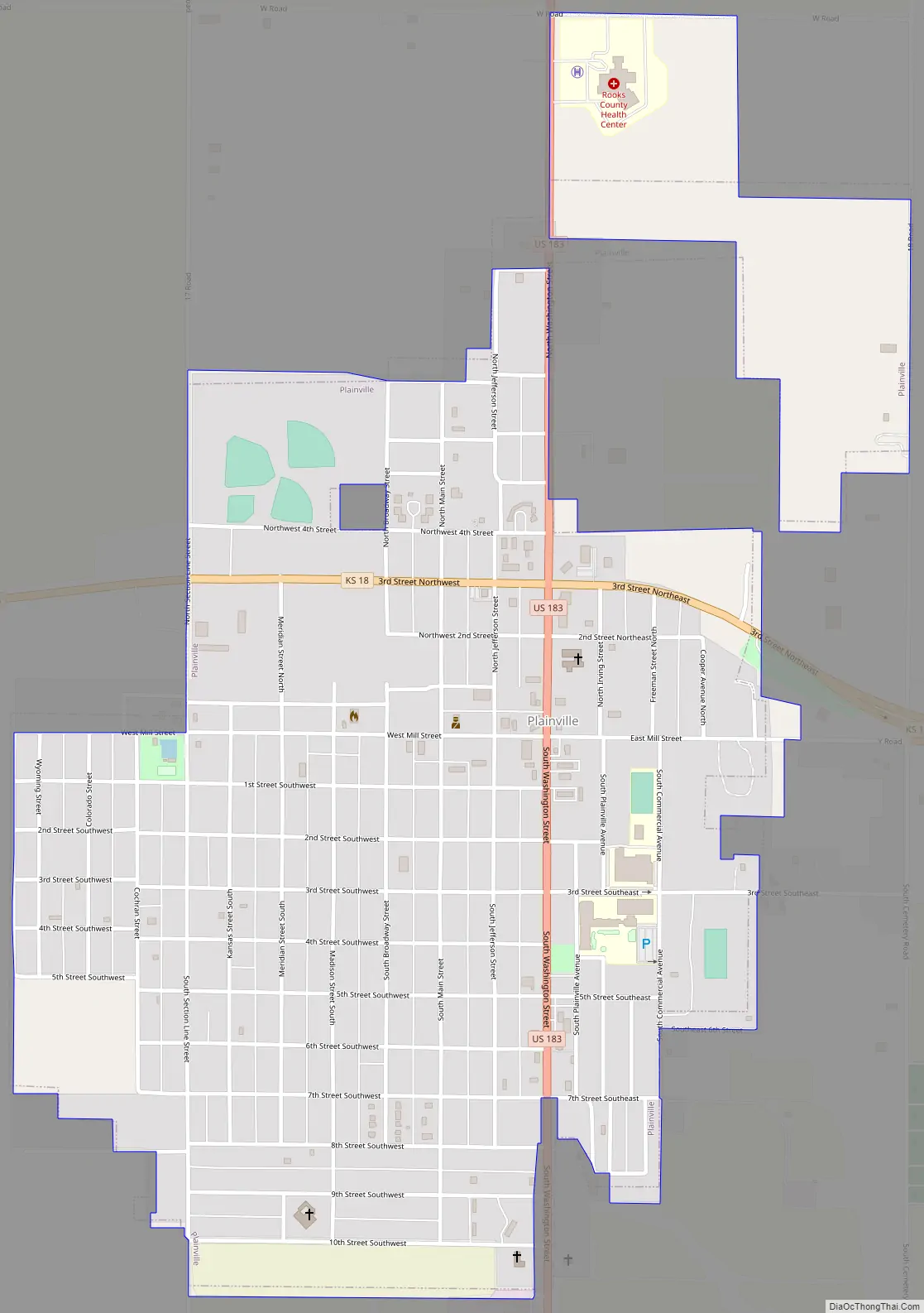
Plainville Road Map
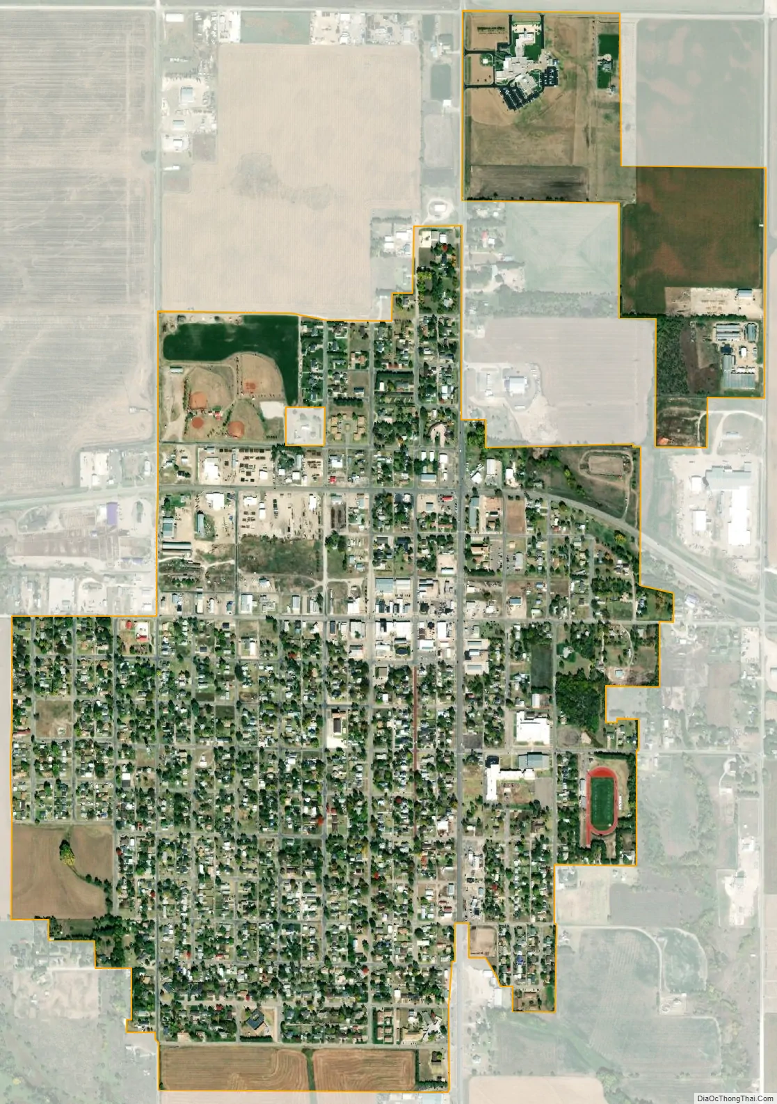
Plainville city Satellite Map
Geography
Plainville is located at 39°13′56″N 99°18′11″W / 39.23222°N 99.30306°W / 39.23222; -99.30306 (39.232102, -99.303166) at an elevation of 2,146 feet (654 m). It lies in the Smoky Hills region of the Great Plains on the north side of Paradise Creek, a tributary of the Saline River. Southwest of the city, the creek has been dammed to form a small reservoir, Plainville Township Lake. Plainville is approximately 9 miles (14 km) north of the Saline River and 13 miles (21 km) south of the South Fork Solomon River. Located in north-central Kansas at the intersection of U.S. Route 183 and K-18, Plainville is approximately 150 miles (240 km) northwest of Wichita and 253 miles (407 km) west of Kansas City.
According to the United States Census Bureau, the city has a total area of 1.24 square miles (3.21 km), all of it land.
Climate
Plainville has a humid continental climate (Köppen Dfa) with hot, humid summers and cold, dry winters. The average yearly temperature in Plainville is 51.9 °F (11 °C), and, on average, the city receives 23.2 inches (589 mm) of precipitation a year. Snowfall averages 23.3 inches (592 mm) per year. On average, January is the coolest month, July is the warmest month, and May is the wettest month. The hottest temperature recorded in Plainville was 114 °F (46 °C) in 1940; the coldest temperature recorded was -29 °F (-34 °C) in 1989.
See also
Map of Kansas State and its subdivision:- Allen
- Anderson
- Atchison
- Barber
- Barton
- Bourbon
- Brown
- Butler
- Chase
- Chautauqua
- Cherokee
- Cheyenne
- Clark
- Clay
- Cloud
- Coffey
- Comanche
- Cowley
- Crawford
- Decatur
- Dickinson
- Doniphan
- Douglas
- Edwards
- Elk
- Ellis
- Ellsworth
- Finney
- Ford
- Franklin
- Geary
- Gove
- Graham
- Grant
- Gray
- Greeley
- Greenwood
- Hamilton
- Harper
- Harvey
- Haskell
- Hodgeman
- Jackson
- Jefferson
- Jewell
- Johnson
- Kearny
- Kingman
- Kiowa
- Labette
- Lane
- Leavenworth
- Lincoln
- Linn
- Logan
- Lyon
- Marion
- Marshall
- McPherson
- Meade
- Miami
- Mitchell
- Montgomery
- Morris
- Morton
- Nemaha
- Neosho
- Ness
- Norton
- Osage
- Osborne
- Ottawa
- Pawnee
- Phillips
- Pottawatomie
- Pratt
- Rawlins
- Reno
- Republic
- Rice
- Riley
- Rooks
- Rush
- Russell
- Saline
- Scott
- Sedgwick
- Seward
- Shawnee
- Sheridan
- Sherman
- Smith
- Stafford
- Stanton
- Stevens
- Sumner
- Thomas
- Trego
- Wabaunsee
- Wallace
- Washington
- Wichita
- Wilson
- Woodson
- Wyandotte
- Alabama
- Alaska
- Arizona
- Arkansas
- California
- Colorado
- Connecticut
- Delaware
- District of Columbia
- Florida
- Georgia
- Hawaii
- Idaho
- Illinois
- Indiana
- Iowa
- Kansas
- Kentucky
- Louisiana
- Maine
- Maryland
- Massachusetts
- Michigan
- Minnesota
- Mississippi
- Missouri
- Montana
- Nebraska
- Nevada
- New Hampshire
- New Jersey
- New Mexico
- New York
- North Carolina
- North Dakota
- Ohio
- Oklahoma
- Oregon
- Pennsylvania
- Rhode Island
- South Carolina
- South Dakota
- Tennessee
- Texas
- Utah
- Vermont
- Virginia
- Washington
- West Virginia
- Wisconsin
- Wyoming