Peabody is a city in Marion County, Kansas, United States. It is named after F.H. Peabody of Boston, former vice-president of the Atchison, Topeka and Santa Fe Railway. Peabody is well known in the region for its Independence Day Celebration on July 4, and its historic 1880s downtown main street. As of the 2020 census, the population of the city was 937. It is located between Newton and Florence along U.S. Route 50 highway.
| Name: | Peabody city |
|---|---|
| LSAD Code: | 25 |
| LSAD Description: | city (suffix) |
| State: | Kansas |
| County: | Marion County |
| Founded: | 1870 (Coneburg) 1871 (Peabody) |
| Incorporated: | 1879 (Peabody) |
| Elevation: | 1,381 ft (421 m) |
| Total Area: | 1.27 sq mi (3.28 km²) |
| Land Area: | 1.27 sq mi (3.28 km²) |
| Water Area: | 0.00 sq mi (0.00 km²) |
| Total Population: | 937 |
| Population Density: | 740/sq mi (290/km²) |
| ZIP code: | 66866 |
| Area code: | 620, exchange 983 |
| FIPS code: | 2055100 |
| Website: | PeabodyKS.com |
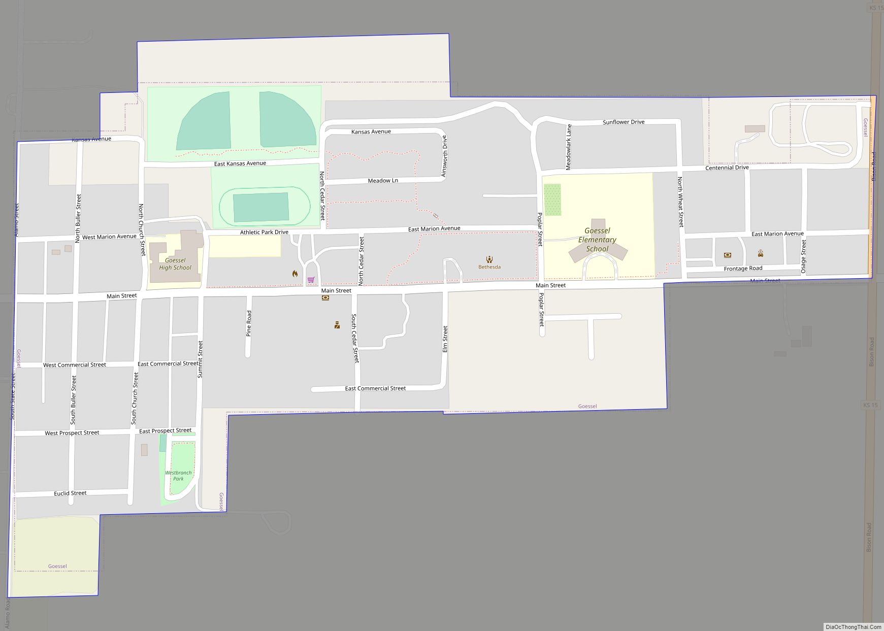
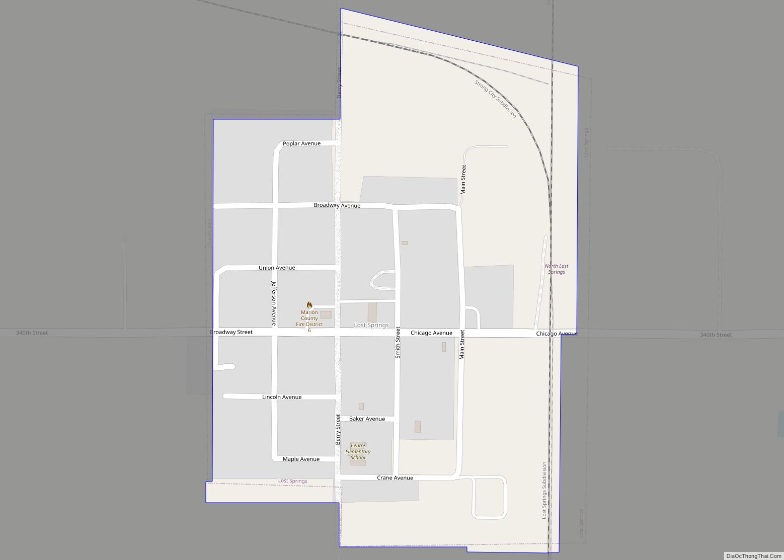
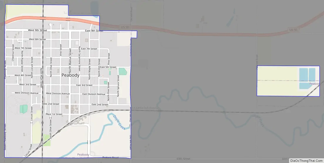
Online Interactive Map
Click on ![]() to view map in "full screen" mode.
to view map in "full screen" mode.
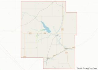
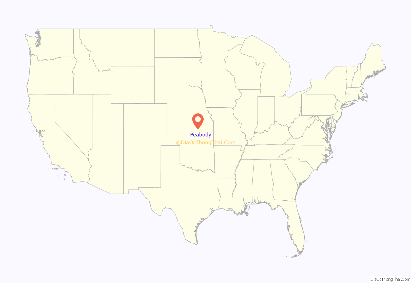
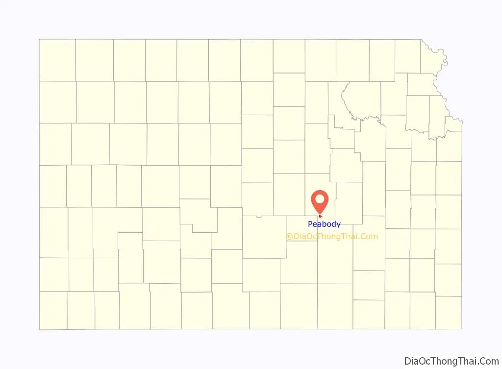
Peabody location map. Where is Peabody city?
History
Early history
For millennia the Great Plains of North America were inhabited by nomadic Native Americans. From the 16th to 18th centuries, the Kingdom of France claimed ownership of large parts of North America. In 1762, after the French and Indian War, France secretly ceded New France to Spain, by the Treaty of Fontainebleau.
19th century
In 1802, Spain returned most of the land to France, keeping title to about 7,500 square miles. In 1803, most of the land for modern day Kansas was acquired by the United States from France as part of the 828,000 square mile Louisiana Purchase.
In 1854, the Kansas Territory was organized under the provisions of the Kansas–Nebraska Act, then in 1861 Kansas became the 34th U.S. state. In 1855, Marion County was established, which included the land for modern day Peabody.
In 1864, the first settler in the Peabody area was W.C. Coble, from North Carolina, who set up ranch headquarters about 2+ miles east of the current city of Peabody (now section 36 of Catlin Township). The first settlement made in the area was in September 1870, by a colony of settlers from Wisconsin. In October, more settlers arrived. During the first month, the colony officers laid out a town on the north-half of section 4 township 22 and surveyed it into lots. The town was named Coneburg after the town company president John Cone. The town site was located between the current 9th Street and Division Avenue. During the winter of 1870, some of the settlers returned east to get supplies and bring out their families. In 1871, while the other settlers were gone, dissatisfaction arose in the community and it began to break up. Claim jumping of the Coneburg town site and nearby land started to occur, thus causing a legal mess.
In 1870, T.M. Potter homesteaded the south-half of the same section of land. In spring of 1871, he and five other men started the Peabody town company. Since the land title for the Peabody town site had no legal disputes, businesses immediately moved from Coneburg. In June 1871, the town of Peabody was platted, and it included the land where the railroad was built on June 9.
A post office was established in Coneburg on January 25, 1871 then moved to Peabody on October 30, 1871.
In April 1872 during legal disputes, Coneburg became North Peabody. A revised plat of Peabody was made in July 1875 and a supplemental plat of North Peabody was made in April 1878. Because of the disputes, the street that ran down the middle of the border between the two towns was called “Division Avenue.” The two towns merged into the city of Peabody in 1879.
The town of Peabody was named in 1871 after F.H. Peabody, of Boston, formerly vice-president of the Atchison, Topeka and Santa Fe Railway company. In May 1874, Mr. Peabody visited the new town, at which time he announced he would donate money for a library building, furniture, books, periodicals and landscaping if the Peabody township would secure four town lots for the site. The contract for construction was awarded in spring of 1875 and was opened to the public in June 1875, and the following February 1876 the state legislature authorized the township to levy a tax to support the library. The structure housed the library facilities until 1914 when a new Peabody Township Carnegie Library was constructed on the old location.
In 1871, the Atchison, Topeka and Santa Fe Railway extended a main line from Emporia through Peabody to Newton. In 1996 it merged with Burlington Northern Railroad and renamed to the current BNSF Railway. Most locals still refer to this railroad as the “Santa Fe”. The first depot was built south of the tracks. Later a train wreck destroyed it and a second depot was built on the north side of the tracks. In 1873, three westbound trains (9:05 am, 1:00 pm, 8:30 pm) and three eastbound trains (4:42 am, 6:50 pm, 8:30 pm) stopped at the Peabody depot. Rail service was still very strong five decades later. In 1925, three westbound and four eastbound trains made stops at Peabody. The second depot was demolished in the 1970s after passenger transportation ended, then its land was converted into the Santa Fe Park, which is located at the south end of Walnut Street. Currently Amtrak’s Southwest Chief passenger train currently passes through Peabody twice each day, but stops at nearby Newton.
During most of the 1870s, the railway depots in Peabody and Florence were the only access points for train passengers into Marion County and northern Butler County. Peabody was a destination for numerous foreign homesteaders, including the Mennonite settlers around Goessel and Gnadenau.
In 1887, the Chicago, Kansas and Nebraska Railway built the “Rock Island” branch line north–south from Herington through Peabody and Wichita to Caldwell. By 1893, this branch line was incrementally built to Fort Worth, Texas. It foreclosed in 1891 and was taken over by Chicago, Rock Island and Pacific Railway, which shut down in 1980 and reorganized as Oklahoma, Kansas and Texas Railroad. The company merged in 1988 with Missouri Pacific Railroad finally merging in 1997 with Union Pacific Railroad. Most locals still refer to this railroad as the “Rock Island”. Its depot in Peabody was demolished in the early 1960s.
In 1875, Peabody held its first agricultural “county fair” and continued to hold them annually for many years. In September 1885, the Kansas State Fair was held at Peabody during the first four days of the month. An outstanding feature of the state fair was “the First Monument to General Grant”, who died shortly before the fair. The temporary monument was an obelisk about 40 feet (12 m) tall, and built from forty bushels of ears of corn. The fair had a grandstand, which could hold 2000 people, to view horse races. The race track was used for a variety of events, including horse walking teams in harness, trotting, running, pacing, mule racing, and daily chariot races. A dining hall was built that was capable of feeding 10,000 people each day. In 1900, the Marion County Agricultural Society sold the fair grounds to the city, which renamed it the Peabody City Park, and its entrance is located at the corner of Locust and 2nd Streets.
Peabody was the home of famous race horses around the turn of the century. Three of the more famous horses were world champions. Joe Young (known as the “iron horse”) sold for $10,000 by C.E. Westbrook, the first horse west of the Mississippi River to sell for such a high price. Joe Young sired Joe Patchen in 1889, who earned his owner $40,000 in race purses and then was sold for $44,000. Joe Patchen sired Dan Patch in 1896, a horse that sold in 1907 for $60,000. Other famous local racing horses included trotters McKinney, and Silver Sign. Silverthorne toured Austria where he competed for three years against the best race horses in Europe.
20th century
Peabody became an important supply point for one of the state’s cattle feeding districts. By 1911, approximately 20,000 head of cattle were imported from other states and fed within 20 miles (32 km) of Peabody at 50 farms. Because of the cattle industry, local farmers grew more corn, alfalfa, and other feed crops during the 1900s and 1910s.
Peabody and Watchorn areas experienced an oil boom from 1918 to 1920 in the oil fields of the Mid-Continent oil province. The influence of the petroleum industry remained strong in Peabody, and resulted in the greatest change upon the community in the shortest time. More than 100 residences were constructed in October and November 1919. From 1918 to 1919, the population increased by 75% or more, but later decreased as oil booms in other Kansas areas needed the workers. Currently Watchorn is a ghost town consisting of oil wells but no remaining historical structures.
The New Santa Fe Trail road was routed through Peabody in the late 1910s. The road entered the north-east side of the city on Old Mill Rd, and exited on the south-west side on 60th Street (known as the Old Trail). The trail became U.S. Route 50 in the late 1930s when the new highway was routed east to west on 9th Street. In 1998, the highway was moved about 1.5 blocks north so it could go over a new railroad overpass.
In 1943, German and Italian prisoners of World War II were brought to Kansas and other midwest states as a means of solving the labor shortage caused by American men serving in the war effort. Large prisoner-of-war camps camps were established in Kansas at Camp Concordia, Camp Funston (at Fort Riley), and Camp Phillips (at Salina under Fort Riley). Fort Riley established 12 smaller branch camps, including Peabody and El Dorado. Up to 150 prisoners were quartered at the Peabody branch camp. Farmers were to have first priority over other industries in requesting prisoner labor. County agents were responsible for processing the application of local residents seeking the use of the prisoners who were to be available only as group laborers. No fewer than four prisoners could be assigned to a farm, and a guard accompanied each group, but later it was common for no guards to accompany the prisoners. The prisoners were not allowed to operate any powered farm equipment. The farmer collected the workers at the camp and returned them at the end of each day. The Peabody branch camp #101 was located in the Eyestone building, now occupied by Heckendorn Equipment Company, and located at 122 West 2nd Street. The prisoner yard was located in the north-east corner of the property and still exists as a storage area. The camp was closed in December 1945, after Germany surrendered.
There have been numerous floods during the history of Peabody. In June and July 1951, due to heavy rains, rivers and streams flooded numerous cities in Kansas, including Peabody. Many reservoirs and levees were built in Kansas as part of a response to the Great Flood of 1951.
The community gradually increased in size as a commuter town to support aircraft industries in Wichita during World War II and Soviet Union Cold War years. Over time the aircraft industry worker requirement has shrank, thus has their influence on numerous commuter towns. Another gradual impact on the community has been the decrease in the size of farm families. Over time as farm equipment has increased in size, so has it decreased the number of family farms in the area, because fewer people are required to farm larger amounts of land. Fewer farms families has led to a gradual decrease in children at local schools. Peabody, like most rural towns, has seen a gradual loss of population due to rural flight to larger cities.
The community has long had great pride in celebrating and promoting its past. Three centennials, the Kansas centennial in 1961, the Peabody centennial in 1971, and the United States Bicentennial in 1976 caused surges of historic pride. It led to the creation of the Peabody Main Street Association (PMSA) in 1989 and the Peabody Community Foundation (PCF). The Peabody Main Street Association has won numerous awards since it was founded.
In 1998, the downtown area of Peabody was placed on the National Register of Historic Places (NRHP), and known as the Peabody Downtown Historic District. Peabody had four previous listings on the NRHP: Peabody Historical Library Museum (in 1973), Peabody Township Library (in 1987), J.S. Schroeder Building (in 1991), and W.H. Morgan House (in 1996).
21st century
In 2010, the Peabody Main Street Association received 5 state awards. In the same year, the Keystone-Cushing Pipeline (Phase II) was constructed 4.5 miles (7.2 km) east of Peabody, north to south through Marion County. There was quite a bit of controversy over road damage, tax exemption, and environmental concerns (if a leak ever occurs).
In 2012, the Peabody City Park was placed on the National Register of Historic Places (NRHP), the sixth in Peabody.
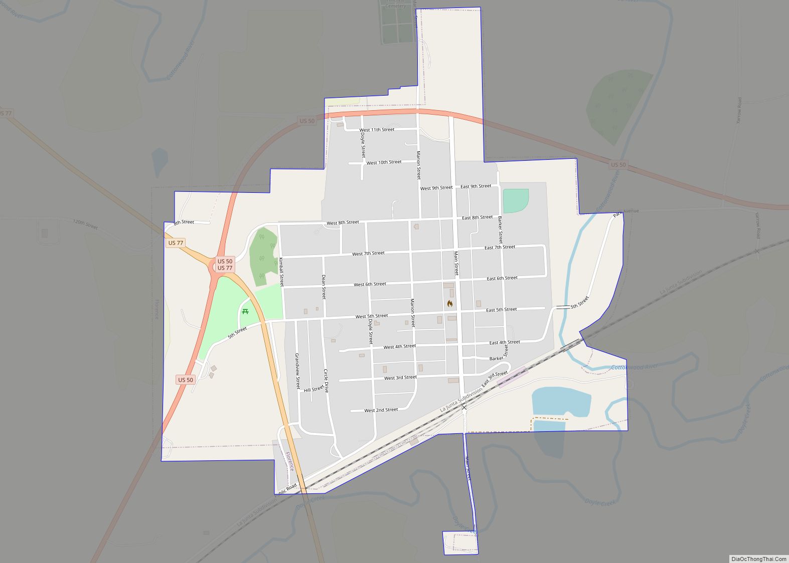
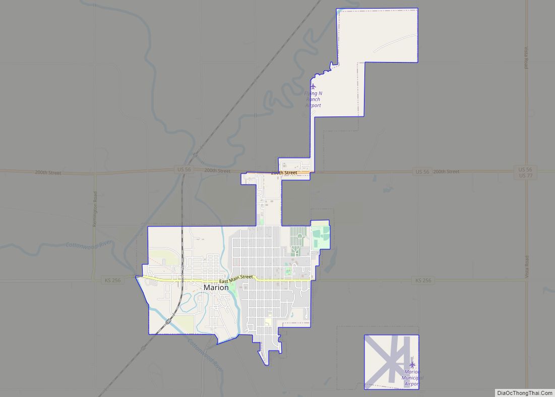
Peabody Road Map
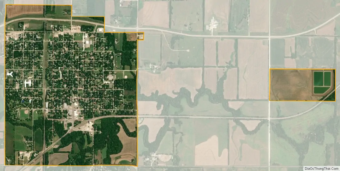
Peabody city Satellite Map
Geography
Peabody is located at coordinates 38.1694596, -97.1066965 in the scenic Flint Hills and Great Plains of the state of Kansas. According to the United States Census Bureau, the city has a total area of 1.34 square miles (3.47 km), all of it land except Doyle Creek and Spring Creek. It is approximately 15 mi (24 km) north-east of Newton, 42 mi (68 km) north of Wichita, 164 mi (264 km) south-west of Kansas City. The north-east corner of Harvey County is 2.0 miles (3.2 km) west of Peabody.
Climate
On average in Peabody, January is the coolest month with an average low of 19°F (-7°C), July is the warmest month with an average high of 92°F (33°C), and May is the wettest month with an average precipitation of 4.64 in. The hottest temperature recorded in Peabody was 115°F (43°C) in 1954; the coldest temperature recorded was -22°F (-31°C) in 1989.
See also
Map of Kansas State and its subdivision:- Allen
- Anderson
- Atchison
- Barber
- Barton
- Bourbon
- Brown
- Butler
- Chase
- Chautauqua
- Cherokee
- Cheyenne
- Clark
- Clay
- Cloud
- Coffey
- Comanche
- Cowley
- Crawford
- Decatur
- Dickinson
- Doniphan
- Douglas
- Edwards
- Elk
- Ellis
- Ellsworth
- Finney
- Ford
- Franklin
- Geary
- Gove
- Graham
- Grant
- Gray
- Greeley
- Greenwood
- Hamilton
- Harper
- Harvey
- Haskell
- Hodgeman
- Jackson
- Jefferson
- Jewell
- Johnson
- Kearny
- Kingman
- Kiowa
- Labette
- Lane
- Leavenworth
- Lincoln
- Linn
- Logan
- Lyon
- Marion
- Marshall
- McPherson
- Meade
- Miami
- Mitchell
- Montgomery
- Morris
- Morton
- Nemaha
- Neosho
- Ness
- Norton
- Osage
- Osborne
- Ottawa
- Pawnee
- Phillips
- Pottawatomie
- Pratt
- Rawlins
- Reno
- Republic
- Rice
- Riley
- Rooks
- Rush
- Russell
- Saline
- Scott
- Sedgwick
- Seward
- Shawnee
- Sheridan
- Sherman
- Smith
- Stafford
- Stanton
- Stevens
- Sumner
- Thomas
- Trego
- Wabaunsee
- Wallace
- Washington
- Wichita
- Wilson
- Woodson
- Wyandotte
- Alabama
- Alaska
- Arizona
- Arkansas
- California
- Colorado
- Connecticut
- Delaware
- District of Columbia
- Florida
- Georgia
- Hawaii
- Idaho
- Illinois
- Indiana
- Iowa
- Kansas
- Kentucky
- Louisiana
- Maine
- Maryland
- Massachusetts
- Michigan
- Minnesota
- Mississippi
- Missouri
- Montana
- Nebraska
- Nevada
- New Hampshire
- New Jersey
- New Mexico
- New York
- North Carolina
- North Dakota
- Ohio
- Oklahoma
- Oregon
- Pennsylvania
- Rhode Island
- South Carolina
- South Dakota
- Tennessee
- Texas
- Utah
- Vermont
- Virginia
- Washington
- West Virginia
- Wisconsin
- Wyoming