Pittsburg is a city in Crawford County, Kansas, United States, located in southeast Kansas near the Missouri state border. It is the most populous city in Crawford County and southeast Kansas. As of the 2020 census, the population of the city was 20,646. It is the home of Pittsburg State University.
| Name: | Pittsburg city |
|---|---|
| LSAD Code: | 25 |
| LSAD Description: | city (suffix) |
| State: | Kansas |
| County: | Crawford County |
| Founded: | 1876 |
| Incorporated: | 1880 |
| Elevation: | 945 ft (288 m) |
| Total Area: | 13.16 sq mi (34.09 km²) |
| Land Area: | 13.06 sq mi (33.84 km²) |
| Water Area: | 0.10 sq mi (0.25 km²) |
| Total Population: | 20,646 |
| Population Density: | 1,600/sq mi (610/km²) |
| ZIP code: | 66762 |
| Area code: | 620 |
| FIPS code: | 2056025 |
| Website: | pittks.org |
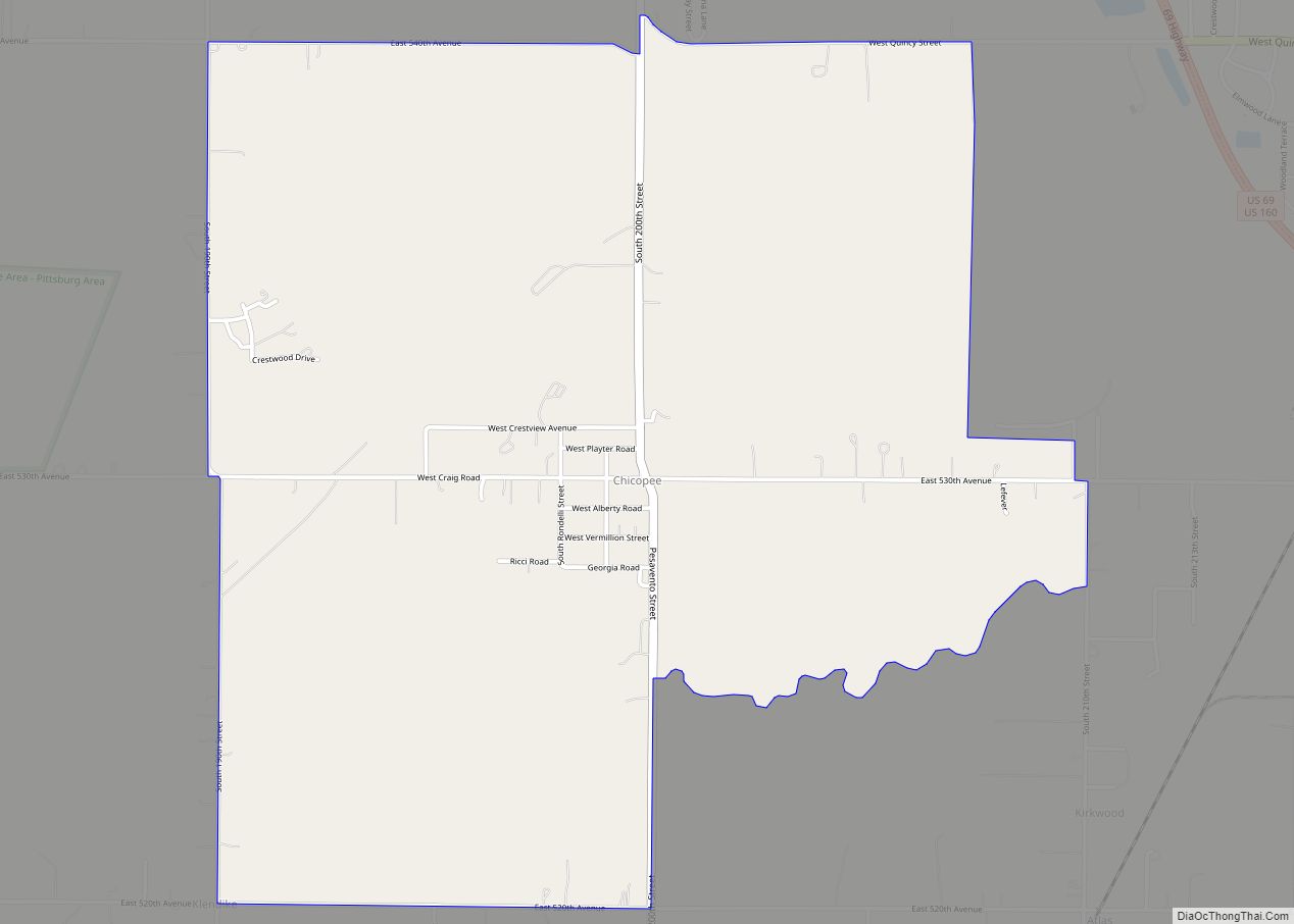
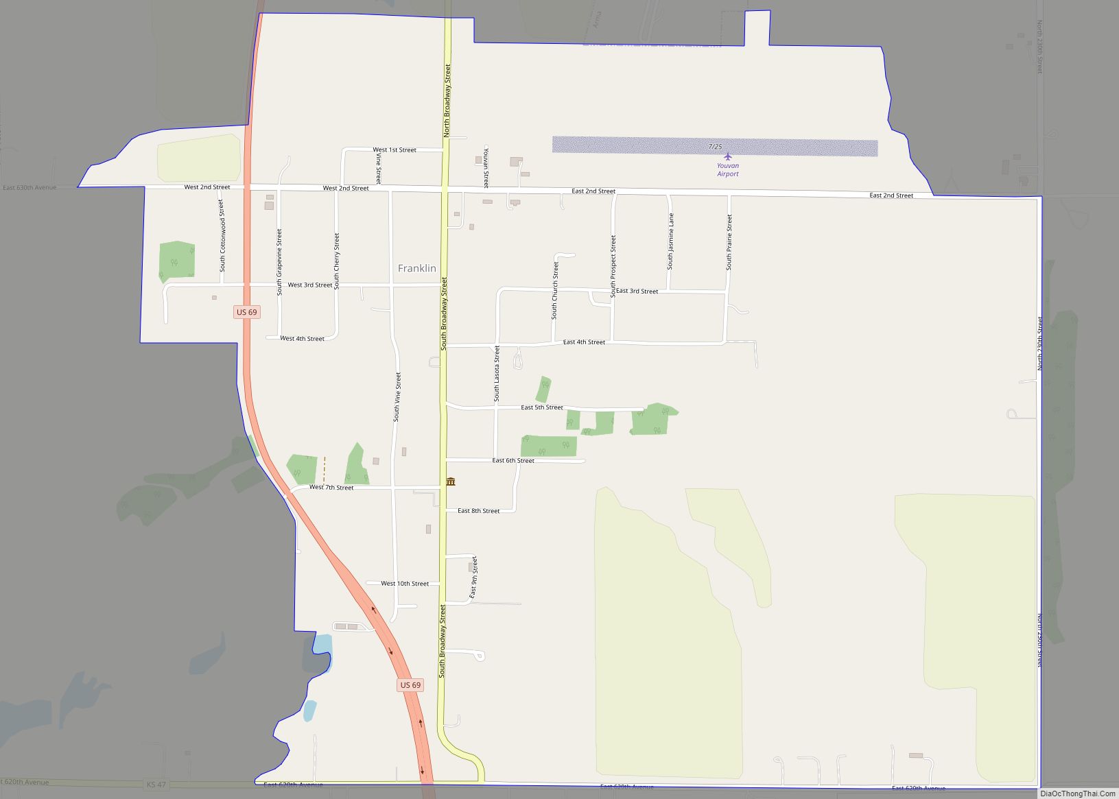
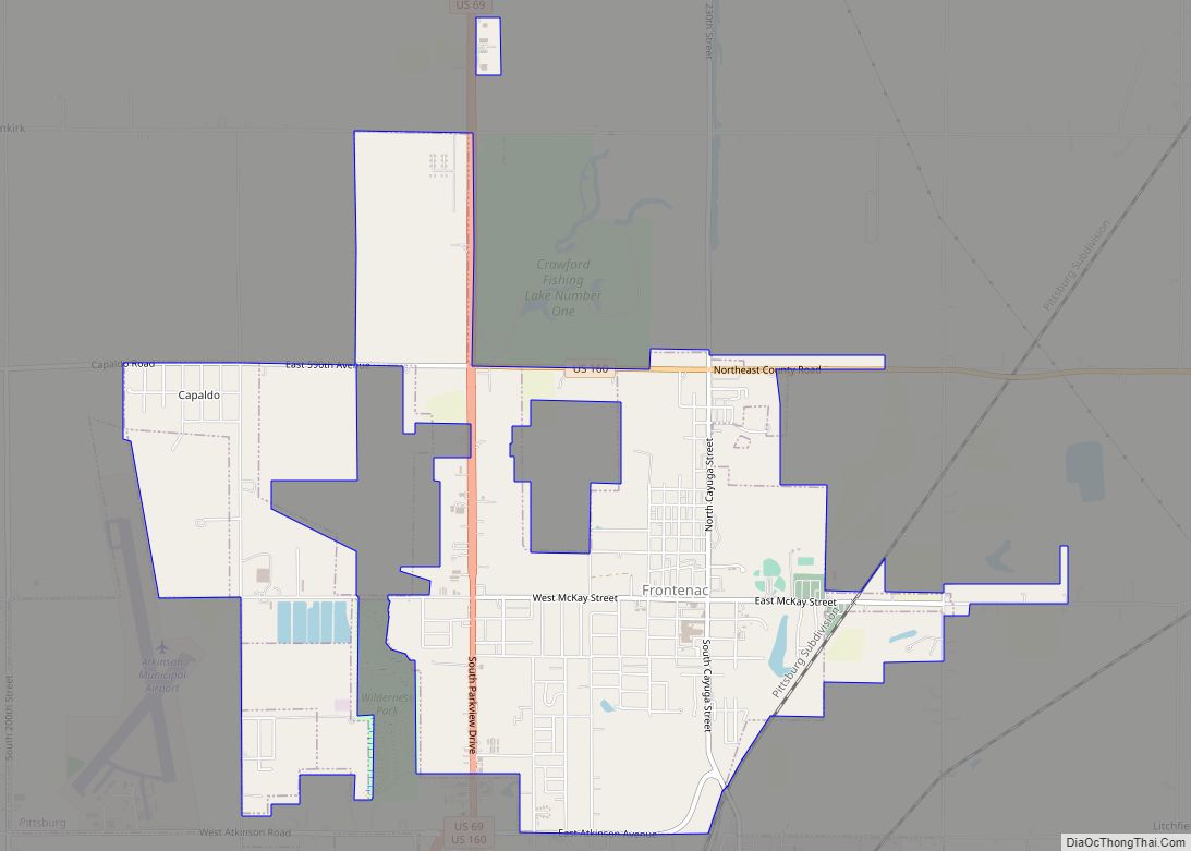
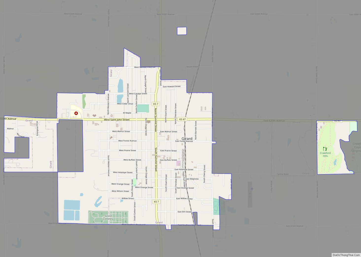
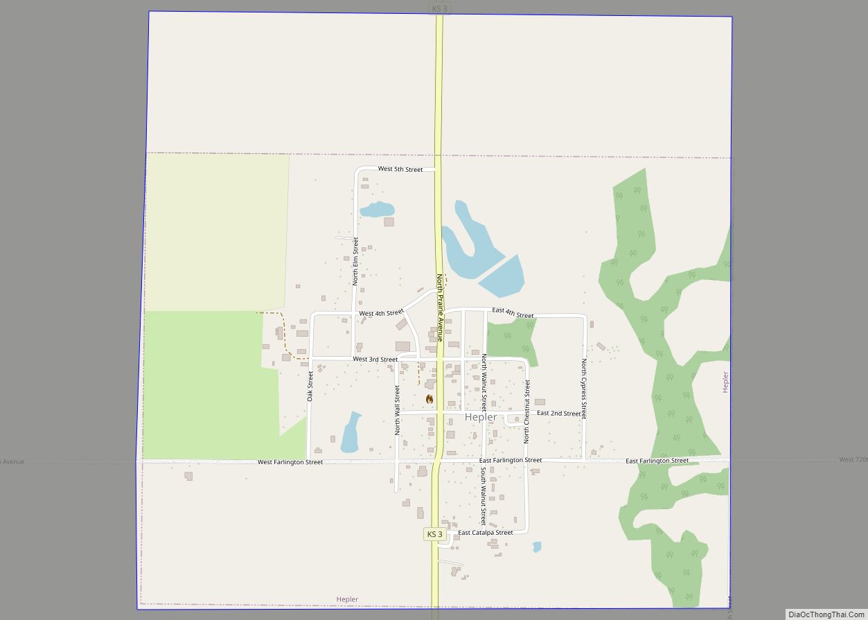
Online Interactive Map
Click on ![]() to view map in "full screen" mode.
to view map in "full screen" mode.
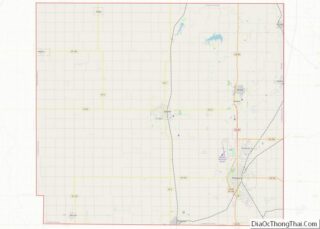
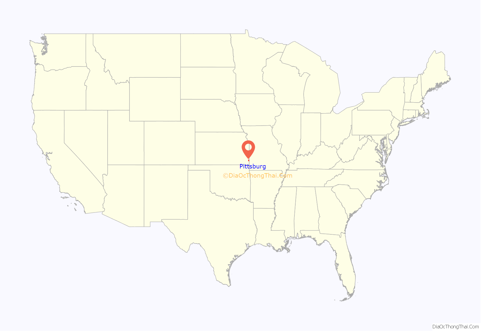
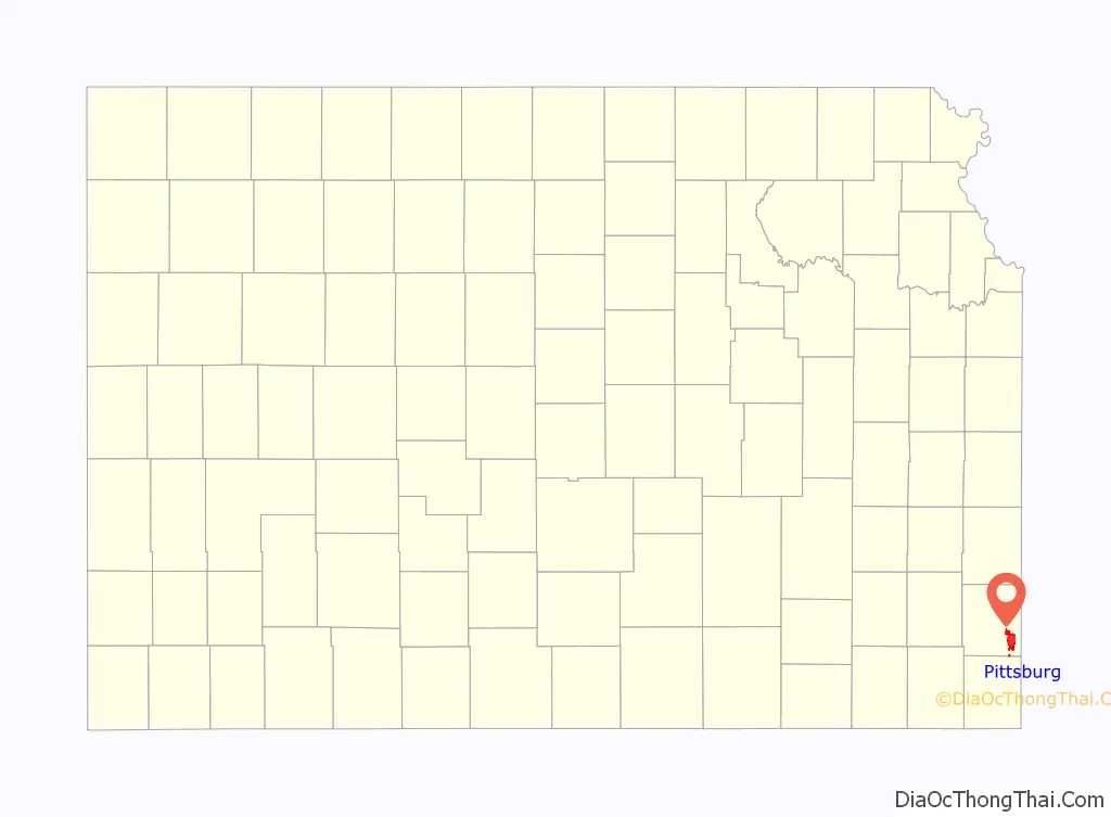
Pittsburg location map. Where is Pittsburg city?
History
On October 23, 1864, a wagon train of refugees had come from Fort Smith, Arkansas, and was escorted by troops from the 6th Kansas Cavalry under the command of Col. William Campbell. These were local men from Cherokee, Crawford, and Bourbon counties. Their enlistment was over, and they were on their way to Fort Leavenworth to be dismissed from service. They ran into the 1st Indian Brigade led by Maj. Andrew Jackson Piercy near the current Pittsburg Waste Water Treatment Plant. They continued to the north when a small group of wagons broke away in an unsuccessful rush to safety. The Confederate troops caught up with them and burned the wagons. The death toll was three Union soldiers and 13 civilian men who had been with the wagon train. It was likely that one of the Confederates had also been killed. A granite marker memorial for the “Cow Creek Skirmish” was placed near the Crawford County Historical Museum on October 30, 2011.
Pittsburg sprang up in the fall of 1876 on a railroad line being built through the neighborhood. It was named after Pittsburgh, Pennsylvania, and maps of the time give the town’s name as “New Pittsburgh”. George Hobson and Franklin Playter are credited with being the city’s founders, establishing a government after its beginnings as a coal mining camp in the 1870s. The city was incorporated in 1879. The “New” was dropped upon incorporation of the City as a third class city on June 21, 1880, with M. M. Snow as its first Mayor. In 1892 it was advanced to a city of the second class, in 1905 Pittsburg attained the rank of first class.
The first dwelling was built by J. T. Roach in July 1876. The first post office in Pittsburg was established in August, 1876. The post office’s name was shortened from “New Pittsburgh” to “Pittsburgh” in 1881 and to “Pittsburg” in 1894. The latter renaming came after the United States Board on Geographic Names, in the interest of standardization, recommended that the ‘h’ be dropped from place names ending in “burgh”.
Pittsburg is the home to Pittsburg State University, founded in 1903 as a normal training institution. Through the years the College became more diversified in its aims and goals, so that it became a multi-purpose institution. It has always had a strong manual and industrial arts program and has trained many of the area’s public and private school teachers.
In 1879, two miners from Joplin began the first commercial attempts at mining in close proximity of Broadway Street. A relic of the city’s coal mining days was the Pittsburg & Midway Coal Company, founded in 1885, and one of the oldest continuously running coal companies in the United States (even though its headquarters moved several years ago to Denver, Colorado after the Kansas mines closed). In September 2007, Chevron which owned the company, merged it with its Molycorp Inc. coal mining division to form Chevron Mining, thus ending the Pittsburg corporate name. Midway referred to a coal camp in eastern Crawford County, Kansas that was “midway” between Baxter Springs, Kansas and Fort Scott, Kansas. Kenneth A. Spencer, whose father was among the founders of the company was to play an important role in Kansas and Missouri philanthropy.
Pittsburg was also the most heavily unionized city in Kansas at the beginning of the 20th century. In addition to some coal mining, the economic base of the City now rests on industry.
The city has a rich cultural heritage from many Southern and Eastern European mine workers who settled in and around Pittsburg and Southeastern Kansas. It is situated in a once productive coal field. It now relies heavily on education and government-related employment.
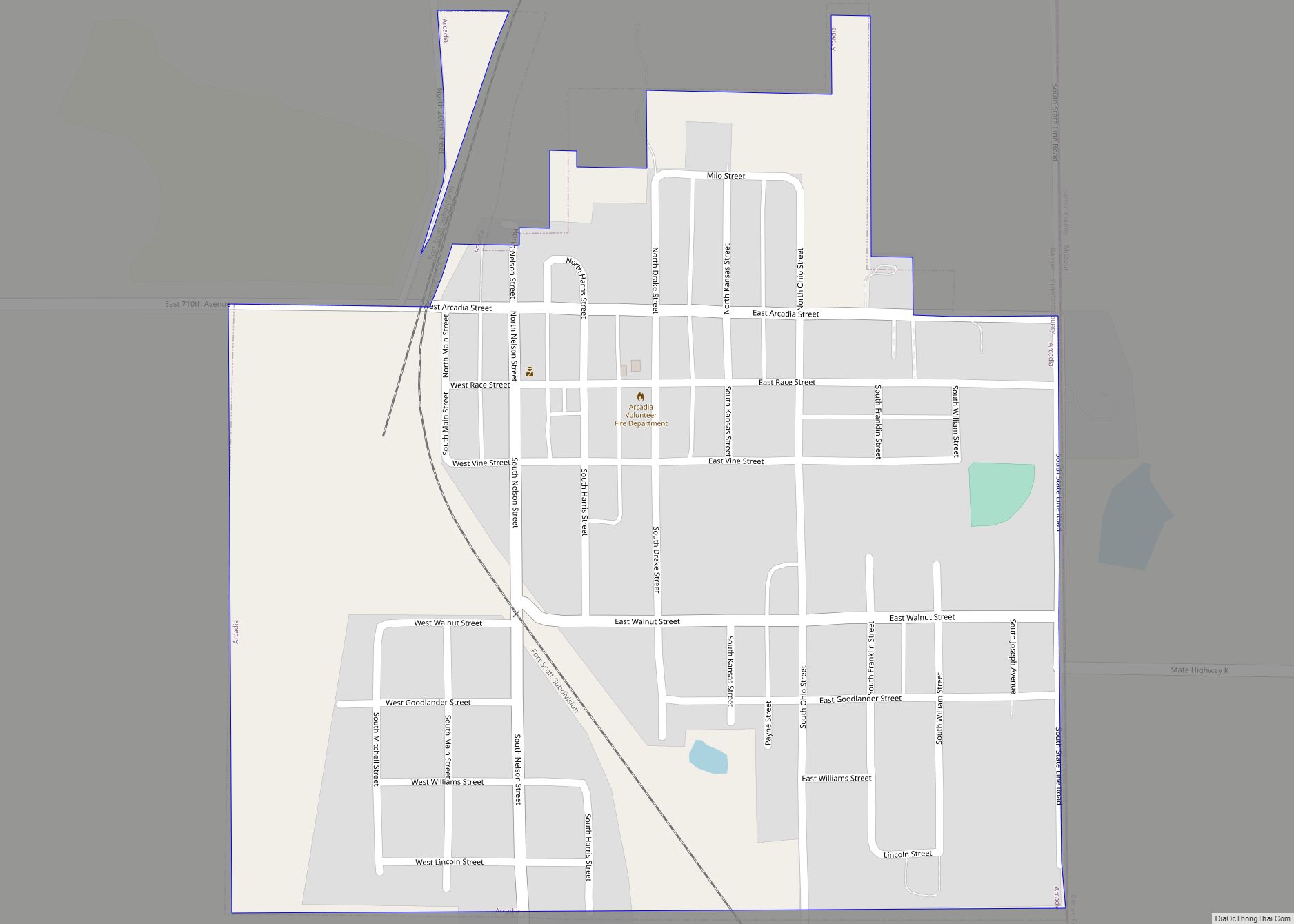
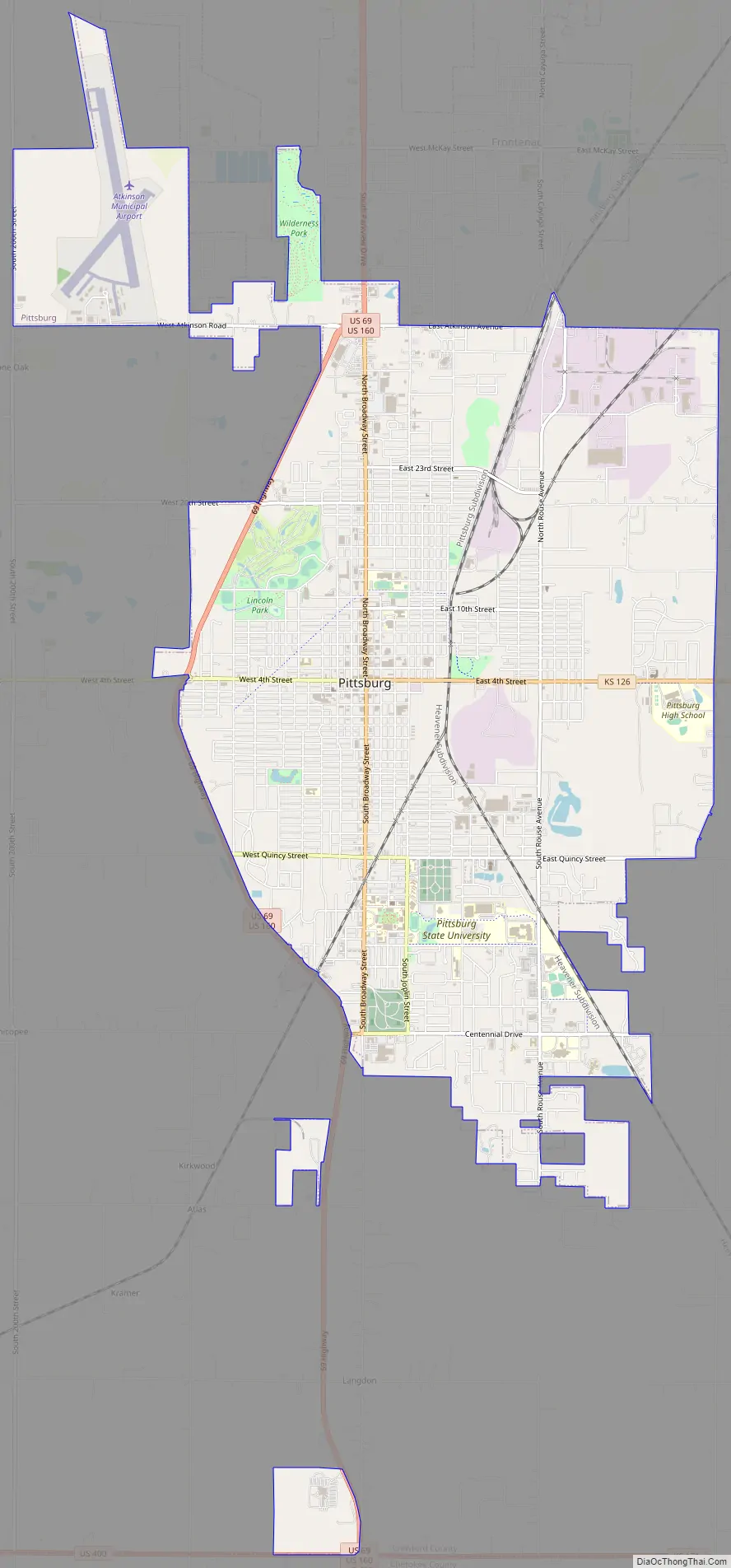
Pittsburg Road Map
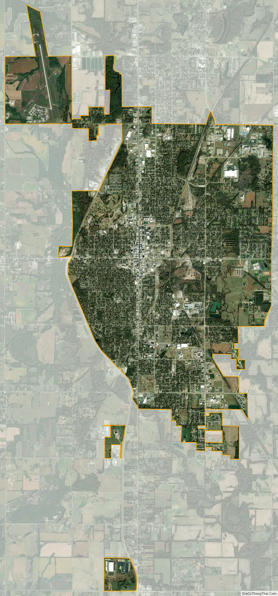
Pittsburg city Satellite Map
Geography
According to the United States Census Bureau, the city has a total area of 12.90 square miles (33.41 km), of which, 12.80 square miles (33.15 km) is land and 0.10 square miles (0.26 km) is water. Pittsburg sits in the Ozark Highlands region, a mix of prairie and forests.
It lies 90 miles (140 km) west of Springfield, Missouri, 124 miles (200 km) south of Kansas City, Missouri, and 137 miles (220 km) northeast of Tulsa, Oklahoma.
Climate
Pittsburg has a humid subtropical climate (Köppen Cfa) bordering on a hot-summer humid continental climate (Dfa). Summers are hot and humid, with as many as 73 mornings per year staying above 68 °F or 20 °C and eight mornings remaining above 77 °F or 25 °C – indeed in July 2012 the temperature did not fall below 69 °F or 20.6 °C. The hottest morning, however, was on August 10, 2006 when the temperature did not fall below 83 °F (28.3 °C), and the hottest temperature has been 115 °F (46.1 °C) on July 13 and 14, 1954. Heavy thunderstorm rains often punctuate the heat with heavy rainfall: 7.93 inches or 201.4 millimetres fell on July 30, 2013. Periods of hot weather without much rain are not uncommon: only trace precipitation fell between July 28 and September 10, 2000, and only 0.22 inches (5.6 mm) between July 7 and August 20, 1984.
During the fall season, temperatures cool off fairly rapidly: the last 90 °F or 32.2 °C temperature can be expected on September 22, and by the end of October temperatures have usually fallen to a comfortable level. Heavy rainfall from frontal systems or remnant tropical storms are common during this period: the wettest day with 8.77 inches (222.8 mm) was on September 25, 1993, a year which saw 47.85 inches (1,215.4 mm) between April and September as against only 10.54 inches (267.7 mm) during the same period in 1980. September 1993 was also the wettest month on record with 19.37 inches or 492.0 millimetres, while the wettest calendar year overall has been 1985 with 66.52 inches (1,689.6 mm) and the driest 1963 with only 21.50 inches (546.1 mm).
As with all of Kansas, winter weather is extremely variable, although extreme maxima are not as hot as in the southwest of the state as Pittsburg is far from the influence of hot chinook winds. Arctic outbreaks bring temperatures to or below 0 °F or −17.8 °C on average once per winter, while maxima over 70 °F or 21.1 °C can be expected four times between December and February. Winter weather is less dry than in most of Kansas since moist Gulf air often penetrates without reaching most of the state: December 2015 saw 7.91 inches (200.9 mm) of rain, and the very cold January 1979 saw sixteen days with at least 0.01 inches or 0.25 millimetres of measurable precipitation. Because the moister air masses are warm, heavy snowfall is uncommon in Pittsburg: the mean is 11.9 inches or 0.30 metres and only twelve months have seen more than 10 inches or 0.25 metres, with the most in a month being 24.5 inches (0.62 m) in January 1979. The most snow in a day has been 13 inches (0.33 m) on December 13, 2000, and the most snow on the ground 14 inches (0.36 m) on February 4 and 5, 2011 and March 17, 1970.
Spring weather is changeable and often suspect to severe storms: Pittsburg lies in the heart of “Tornado Alley”. The changeable weather from hot to cold can be accompanied by frequent heavy precipitation: Pittsburg can expect 20.24 inches or 514.1 millimetres of precipitation between March and June, approximately what Dodge City or Liberal further west receive in a whole year. Temperatures warm up during the spring: the first temperature of 80 °F (26.7 °C) can be expected on March 27, but the first of 90 °F (32.2 °C) does not normally occur until May 28.
See also
Map of Kansas State and its subdivision:- Allen
- Anderson
- Atchison
- Barber
- Barton
- Bourbon
- Brown
- Butler
- Chase
- Chautauqua
- Cherokee
- Cheyenne
- Clark
- Clay
- Cloud
- Coffey
- Comanche
- Cowley
- Crawford
- Decatur
- Dickinson
- Doniphan
- Douglas
- Edwards
- Elk
- Ellis
- Ellsworth
- Finney
- Ford
- Franklin
- Geary
- Gove
- Graham
- Grant
- Gray
- Greeley
- Greenwood
- Hamilton
- Harper
- Harvey
- Haskell
- Hodgeman
- Jackson
- Jefferson
- Jewell
- Johnson
- Kearny
- Kingman
- Kiowa
- Labette
- Lane
- Leavenworth
- Lincoln
- Linn
- Logan
- Lyon
- Marion
- Marshall
- McPherson
- Meade
- Miami
- Mitchell
- Montgomery
- Morris
- Morton
- Nemaha
- Neosho
- Ness
- Norton
- Osage
- Osborne
- Ottawa
- Pawnee
- Phillips
- Pottawatomie
- Pratt
- Rawlins
- Reno
- Republic
- Rice
- Riley
- Rooks
- Rush
- Russell
- Saline
- Scott
- Sedgwick
- Seward
- Shawnee
- Sheridan
- Sherman
- Smith
- Stafford
- Stanton
- Stevens
- Sumner
- Thomas
- Trego
- Wabaunsee
- Wallace
- Washington
- Wichita
- Wilson
- Woodson
- Wyandotte
- Alabama
- Alaska
- Arizona
- Arkansas
- California
- Colorado
- Connecticut
- Delaware
- District of Columbia
- Florida
- Georgia
- Hawaii
- Idaho
- Illinois
- Indiana
- Iowa
- Kansas
- Kentucky
- Louisiana
- Maine
- Maryland
- Massachusetts
- Michigan
- Minnesota
- Mississippi
- Missouri
- Montana
- Nebraska
- Nevada
- New Hampshire
- New Jersey
- New Mexico
- New York
- North Carolina
- North Dakota
- Ohio
- Oklahoma
- Oregon
- Pennsylvania
- Rhode Island
- South Carolina
- South Dakota
- Tennessee
- Texas
- Utah
- Vermont
- Virginia
- Washington
- West Virginia
- Wisconsin
- Wyoming