Phillipsburg is a city in, and the county seat of, Phillips County, Kansas, United States. As of the 2020 census, its population was 2,337.
| Name: | Phillipsburg city |
|---|---|
| LSAD Code: | 25 |
| LSAD Description: | city (suffix) |
| State: | Kansas |
| County: | Phillips County |
| Founded: | 1872 |
| Incorporated: | 1872 |
| Elevation: | 1,946 ft (593 m) |
| Total Area: | 1.70 sq mi (4.39 km²) |
| Land Area: | 1.70 sq mi (4.39 km²) |
| Water Area: | 0.00 sq mi (0.00 km²) |
| Total Population: | 2,337 |
| Population Density: | 1,400/sq mi (530/km²) |
| ZIP code: | 67661 |
| Area code: | 785 |
| FIPS code: | 2055675 |
| Website: | cityofphillipsburg.com |
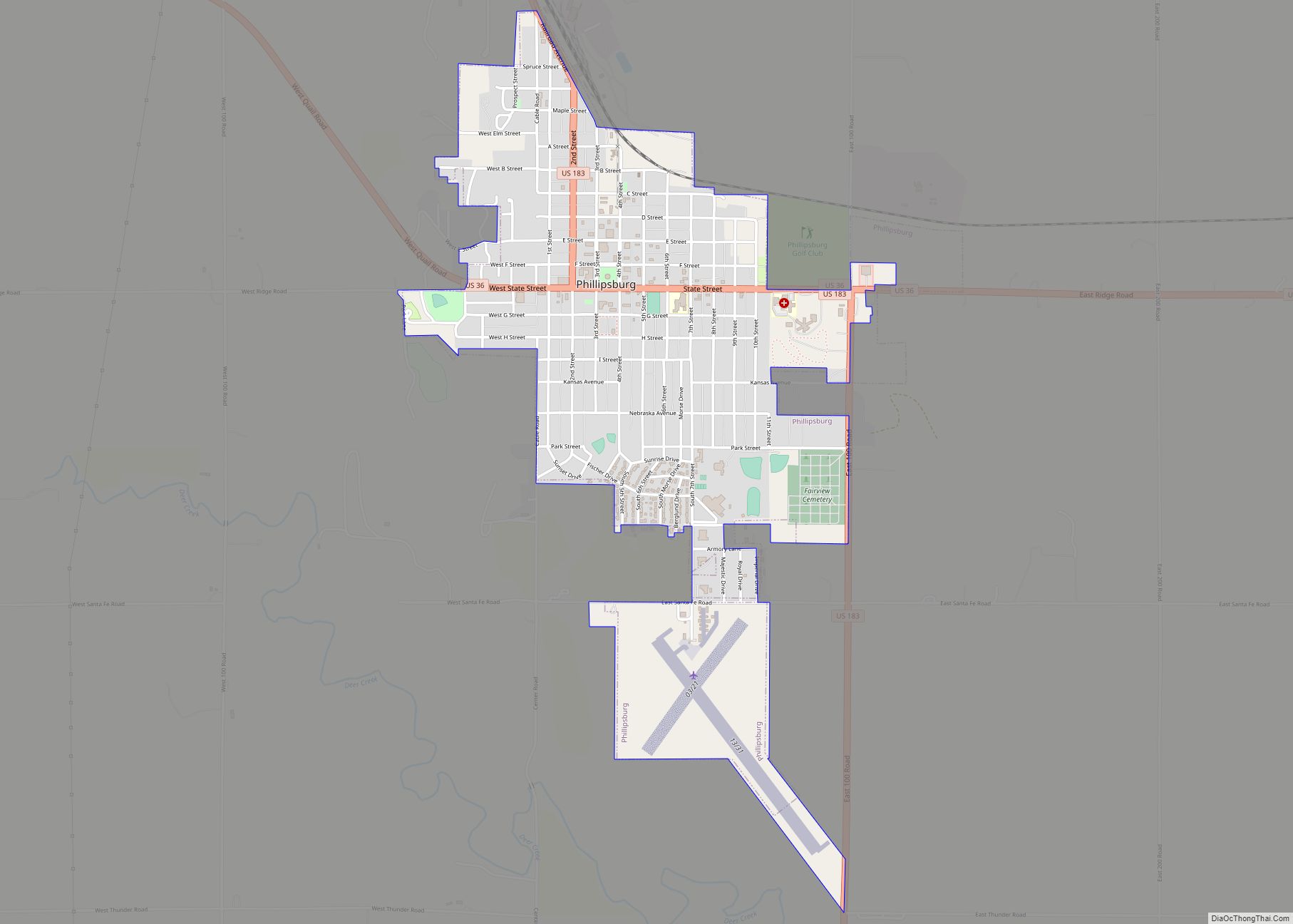
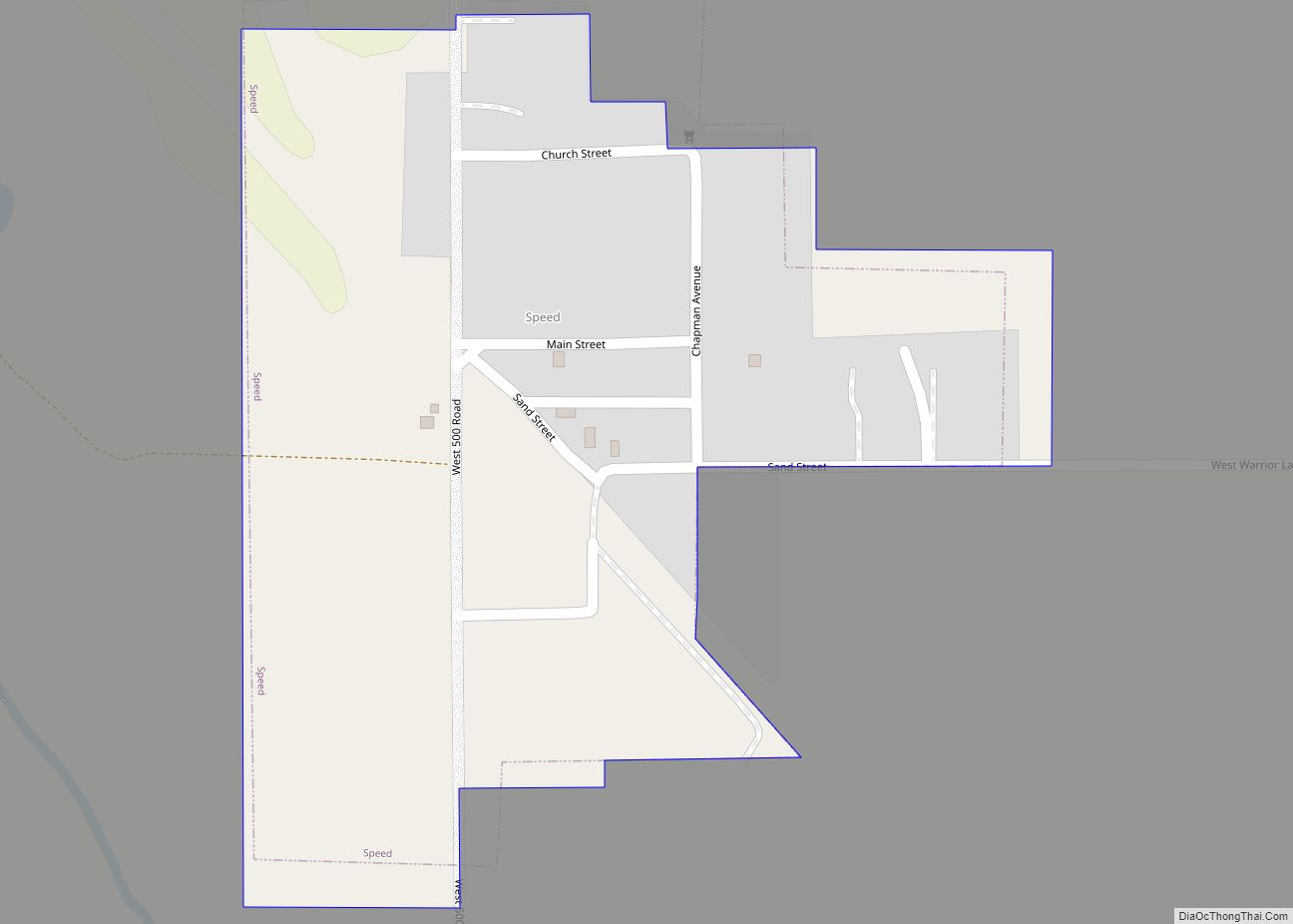
Online Interactive Map
Click on ![]() to view map in "full screen" mode.
to view map in "full screen" mode.
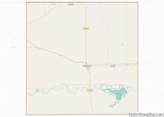
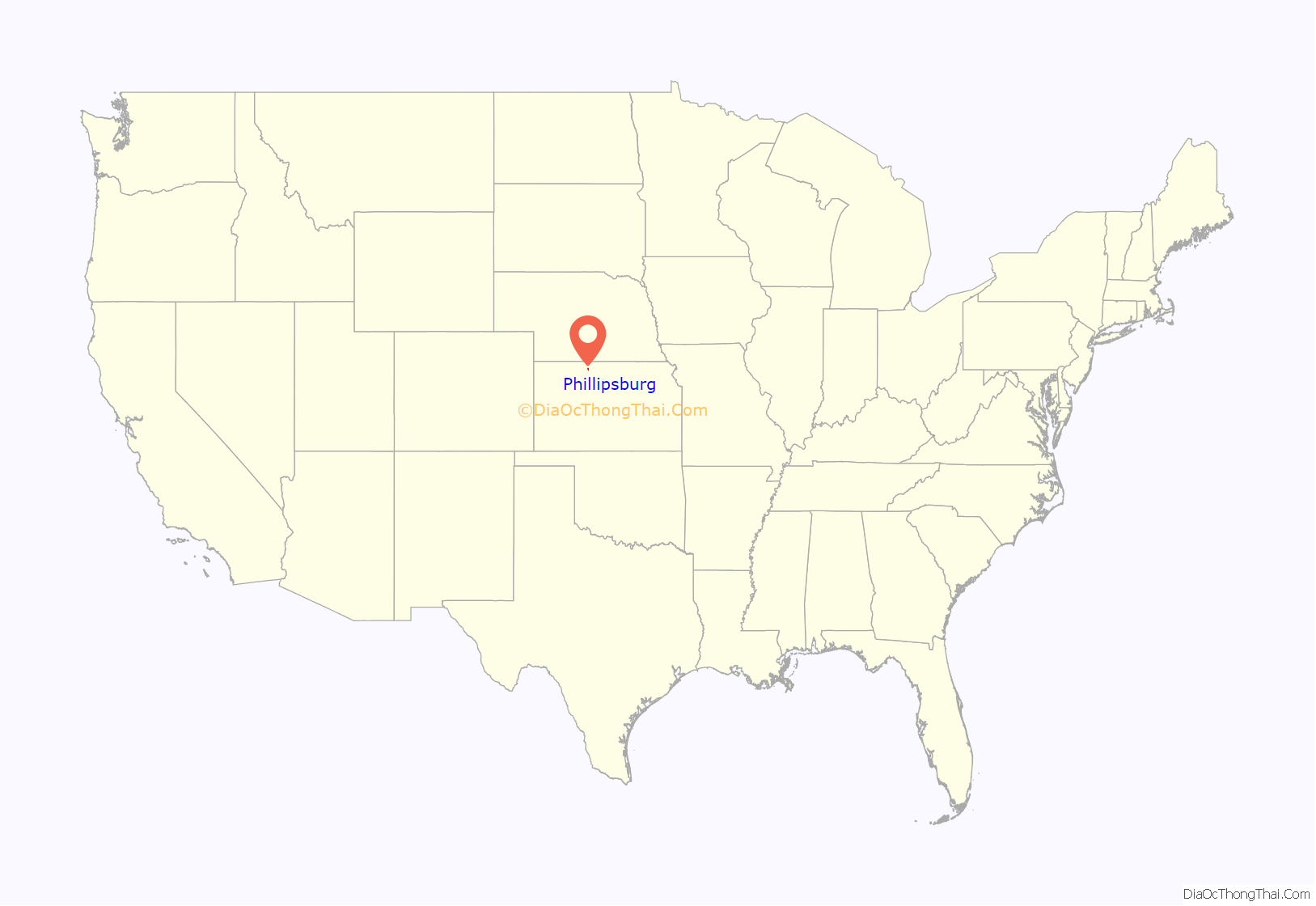
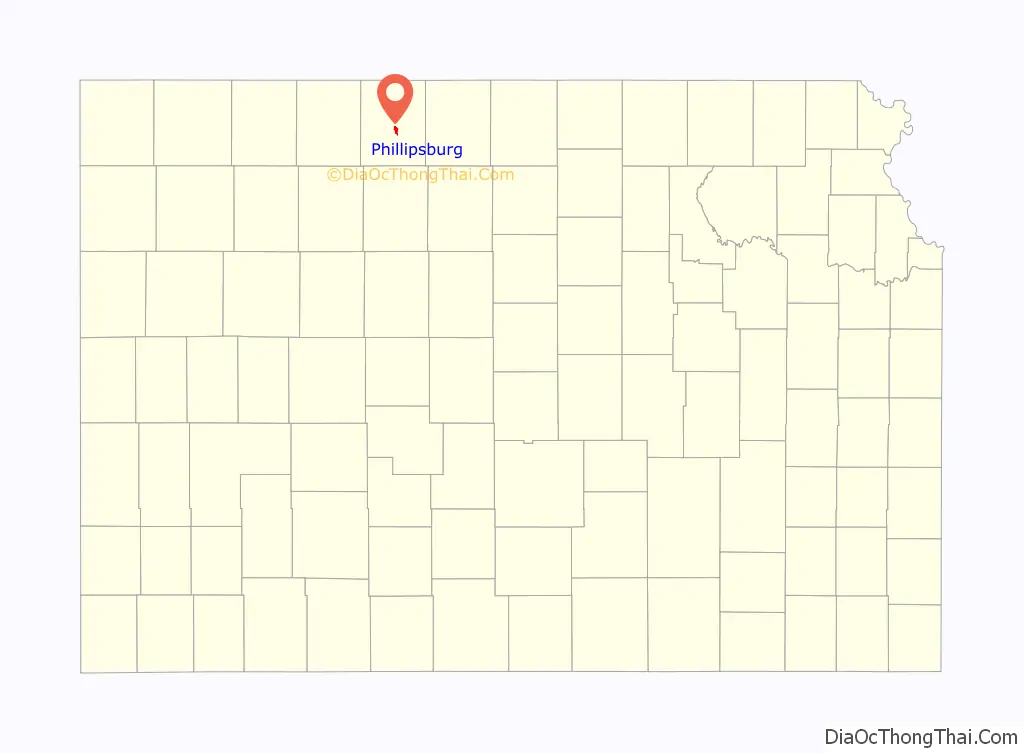
Phillipsburg location map. Where is Phillipsburg city?
History
Phillipsburg was organized in 1872 and named the county seat due to its central location in the county on July 26, though the first residents didn’t arrive until late that year. It was named for politician and journalist William A. Phillips. Phillipsburg was incorporated as a city in 1880.
The first post office was established in Phillipsburg on December 23, 1872, with the first postmaster being Fred A Dutton, but the name of the post office was spelled Phillipsburgh until 1893. Named in honor of John Bissel, Fort Bissel was built in 1872 to protect against perceived hostility from Native Americans and closed in 1878. The Fort was reconstructed in city park in 1962. The first cemetery in the town, Close cemetery, was established on March 19, 1879 by the Fairview cemetery association and was deeded to the city on June 4, 1889. A branch of the Chicago, Kansas and Nebraska Railway was established through Phillipsburg in 1887. Also in 1887 complete telephone systems were installed in the city. A fire nearly destroyed the entire town square in 1906. The current courthouse was constructed in 1912. “Kansas’ Biggest Rodeo” was first held in 1929 and is held annually on the last weekend in July or first weekend in August.
In 1939, Consumer’s Cooperative Association opened the world’s first cooperative oil refinery on the north edge of town, and shutdown in 1992.
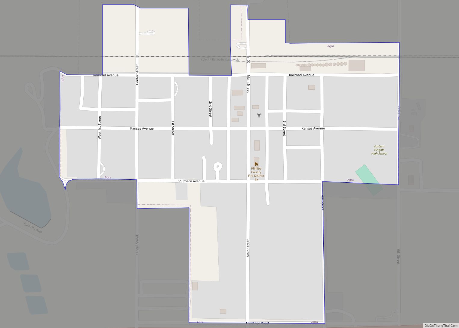
Phillipsburg Road Map
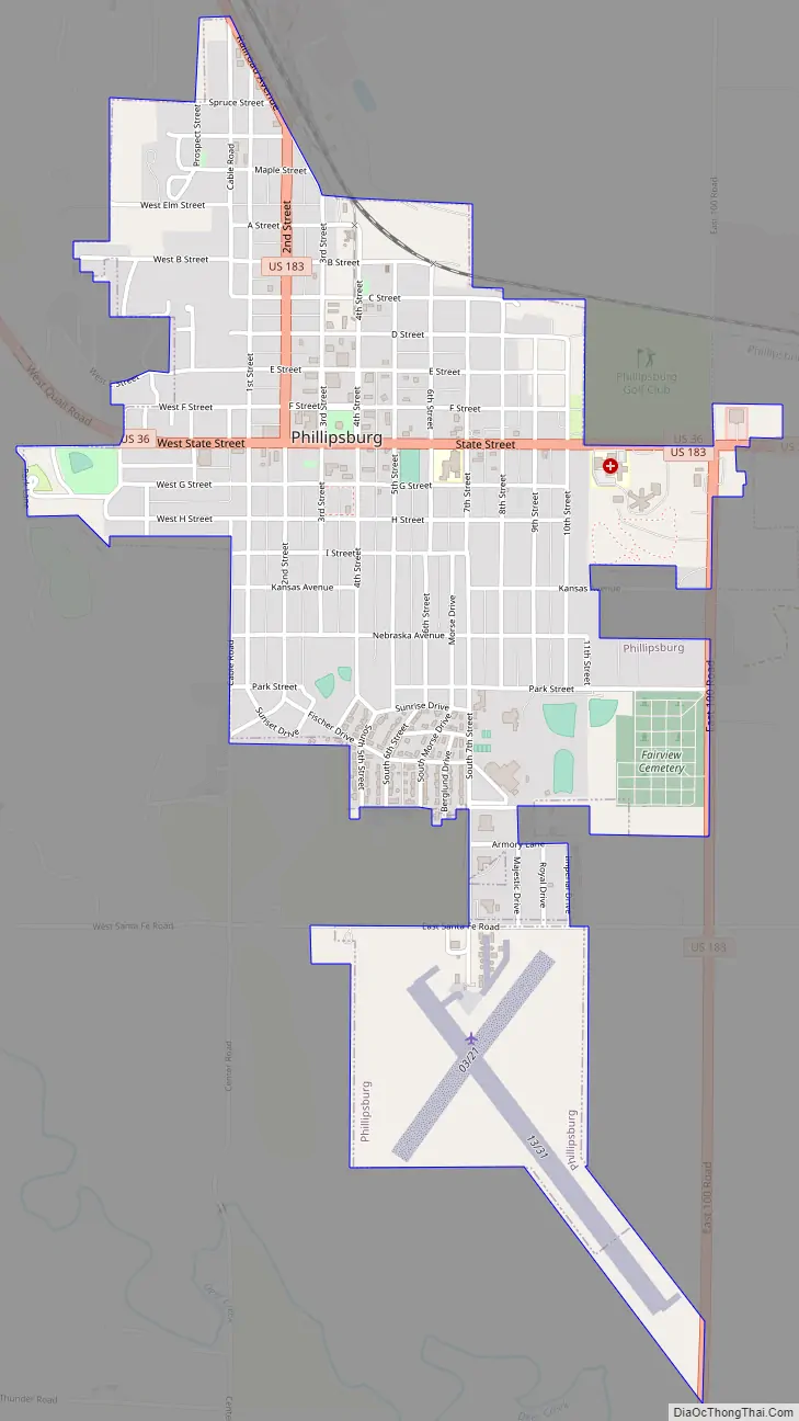
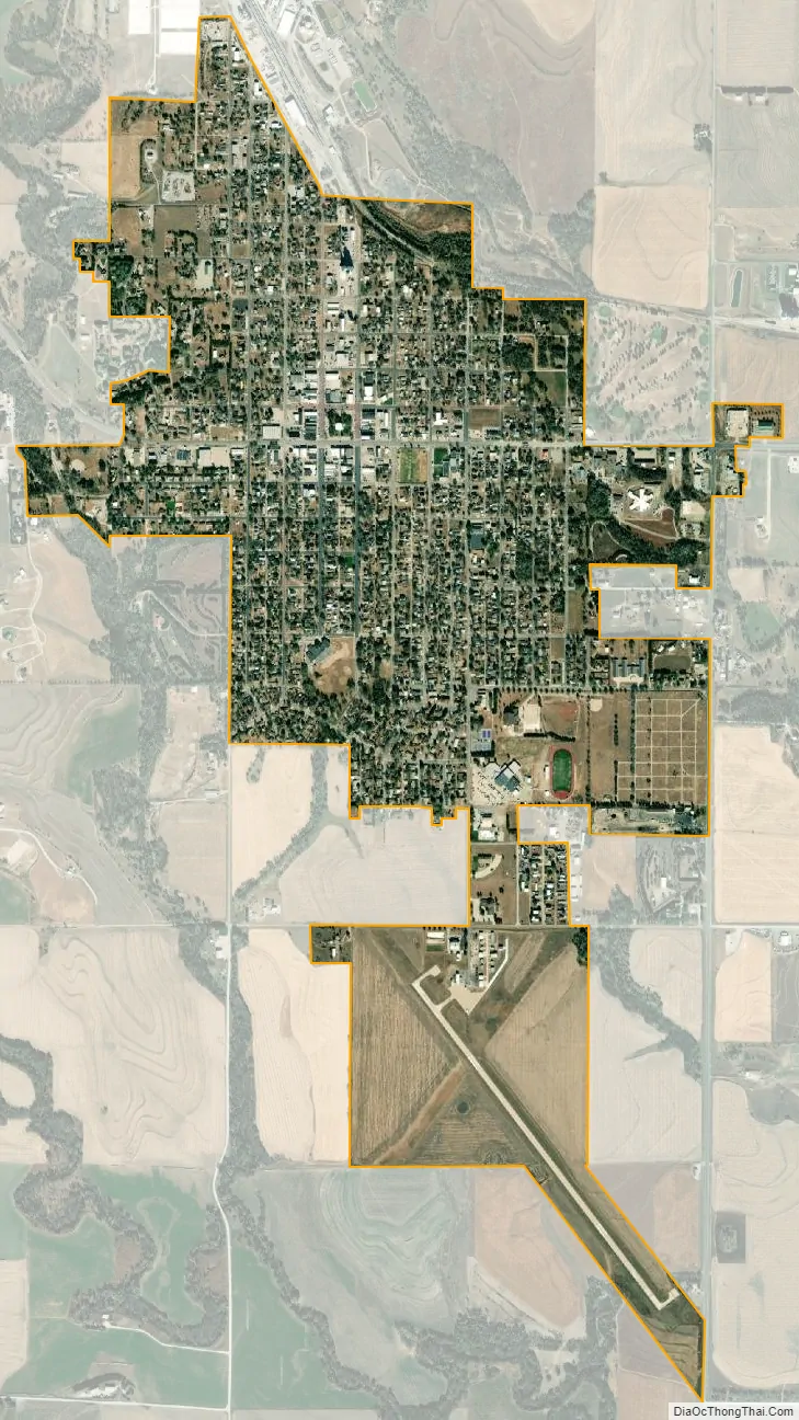
Phillipsburg city Satellite Map
Geography
Phillipsburg is located at 39°45′19″N 99°19′20″W / 39.75528°N 99.32222°W / 39.75528; -99.32222 (39.755173, -99.322331) in northwestern Kansas on the western edge of the Smoky Hills region of the Great Plains. Phillipsburg is located in the middle of Phillips County, approximately 20 miles south of the Nebraska border. The city sits on the north side of Deer Creek, a tributary of the North Fork of the Solomon River. Plotner Creek, a tributary of Deer Creek, flows south along the western edge of the city. According to the United States Census Bureau, the city has a total area of 1.67 square miles (4.33 km), all land.
Climate
Phillipsburg’s climate is either classified as a humid subtropical climate (Köppen Cwa), using the −3 °C (26.6 °F) isotherm of the original Köppen scheme, or a humid continental climate (Köppen Dwa), using the 0 °C (32 °F) isotherm preferred by some climatologists. Phillipsburg meets the criteria for a true winter dry season under the Köppen climate classification, which is a rarity for its region and for the United States as a whole outside of South Florida. The average temperature for the year in Phillipsburg is 51 °F (11 °C), and the average yearly precipitation is 23.3 inches (594 mm). On average, January is the coolest month, July is the warmest month, and May is the wettest month. The hottest temperature recorded in Phillipsburg was 120 °F (49 °C) in 1936; the coldest temperature recorded was -28 °F (-33 °C) in 1989.
See also
Map of Kansas State and its subdivision:- Allen
- Anderson
- Atchison
- Barber
- Barton
- Bourbon
- Brown
- Butler
- Chase
- Chautauqua
- Cherokee
- Cheyenne
- Clark
- Clay
- Cloud
- Coffey
- Comanche
- Cowley
- Crawford
- Decatur
- Dickinson
- Doniphan
- Douglas
- Edwards
- Elk
- Ellis
- Ellsworth
- Finney
- Ford
- Franklin
- Geary
- Gove
- Graham
- Grant
- Gray
- Greeley
- Greenwood
- Hamilton
- Harper
- Harvey
- Haskell
- Hodgeman
- Jackson
- Jefferson
- Jewell
- Johnson
- Kearny
- Kingman
- Kiowa
- Labette
- Lane
- Leavenworth
- Lincoln
- Linn
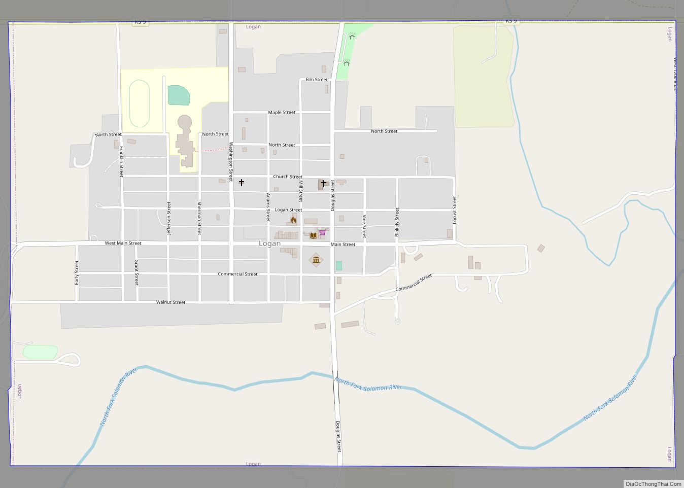
- Logan
- Lyon
- Marion
- Marshall
- McPherson
- Meade
- Miami
- Mitchell
- Montgomery
- Morris
- Morton
- Nemaha
- Neosho
- Ness
- Norton
- Osage
- Osborne
- Ottawa
- Pawnee
- Phillips
- Pottawatomie
- Pratt
- Rawlins
- Reno
- Republic
- Rice
- Riley
- Rooks
- Rush
- Russell
- Saline
- Scott
- Sedgwick
- Seward
- Shawnee
- Sheridan
- Sherman
- Smith
- Stafford
- Stanton
- Stevens
- Sumner
- Thomas
- Trego
- Wabaunsee
- Wallace
- Washington
- Wichita
- Wilson
- Woodson
- Wyandotte
- Alabama
- Alaska
- Arizona
- Arkansas
- California
- Colorado
- Connecticut
- Delaware
- District of Columbia
- Florida
- Georgia
- Hawaii
- Idaho
- Illinois
- Indiana
- Iowa
- Kansas
- Kentucky
- Louisiana
- Maine
- Maryland
- Massachusetts
- Michigan
- Minnesota
- Mississippi
- Missouri
- Montana
- Nebraska
- Nevada
- New Hampshire
- New Jersey
- New Mexico
- New York
- North Carolina
- North Dakota
- Ohio
- Oklahoma
- Oregon
- Pennsylvania
- Rhode Island
- South Carolina
- South Dakota
- Tennessee
- Texas
- Utah
- Vermont
- Virginia
- Washington
- West Virginia
- Wisconsin
- Wyoming