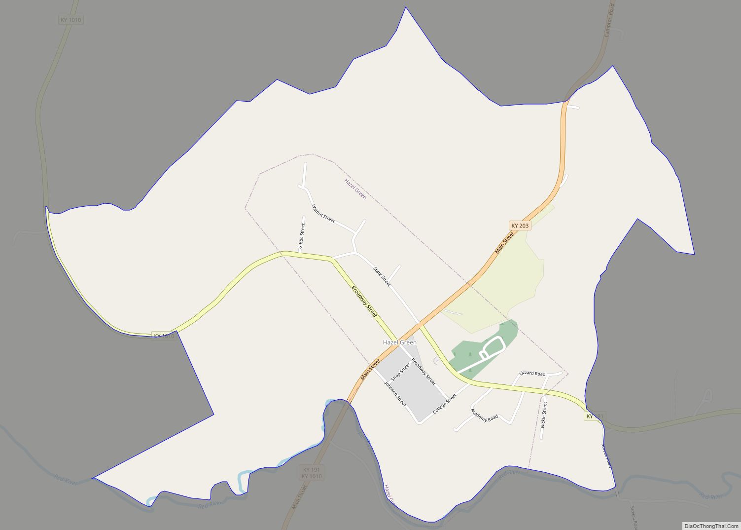
Map of Hazel city

Map of Hazel city, Kentucky

Hazel is a home rule-class city in Calloway County, Kentucky, United States. The population was 410 at the 2010 census. Hazel city overview: Name: Hazel city LSAD Code: 25 LSAD Description: city (suffix) State: Kentucky County: Calloway County Incorporated: 1911 Elevation: 564 ft (172 m) Total Area: 0.35 sq mi (0.91 km²) Land Area: 0.35 sq mi (0.91 km²) Water Area: 0.00 sq mi (0.00 km²) … Read more

Map of Hendron CDP

Map of Hendron CDP

Hendron is an unincorporated community and census-designated place (CDP) in McCracken County, Kentucky, United States. The population was 4,774 at the 2020 census. It is part of the Paducah, KY-IL Micropolitan Statistical Area. Hendron CDP overview: Name: Hendron CDP LSAD Code: 57 LSAD Description: CDP (suffix) State: Kentucky County: McCracken County Elevation: 367 ft (112 m) Total … Read more

Map of Henderson city, Kentucky

Map of Henderson city, Kentucky

Henderson is a home rule-class city along the Ohio River and the county seat of Henderson County, Kentucky, United States. The population was 28,757 at the 2010 U.S. census. It is part of the Evansville Metropolitan Area, locally known as the “Tri-State Area,” and is considered the southernmost suburb of Evansville, Indiana. Henderson city overview: … Read more

Map of Hebron CDP, Kentucky

Map of Hebron CDP, Kentucky

Hebron (/ˈhiːbrən/) is an unincorporated community and census-designated place (CDP) in Boone County, Kentucky, United States. It is named after the biblical city of Hebron. As of the 2010 census, it had a population of 5,929. It is home to the Cincinnati/Northern Kentucky International Airport, which serves Cincinnati and the Tri-State (Ohio-Kentucky-Indiana) area. Hebron CDP … Read more

Map of Hickory Hill city

Map of Hickory Hill city

Hickory Hill is a home rule-class city in Jefferson County, Kentucky, United States. The population was 114 at the 2010 census. Hickory Hill city overview: Name: Hickory Hill city LSAD Code: 25 LSAD Description: city (suffix) State: Kentucky County: Jefferson County Incorporated: 1979 Elevation: 676 ft (206 m) Total Area: 0.03 sq mi (0.07 km²) Land Area: 0.03 sq mi (0.07 km²) Water … Read more

Map of Hickman city, Kentucky

Map of Hickman city, Kentucky

Hickman is a city in and the county seat of Fulton County, Kentucky, United States. Located on the Mississippi River, the city had a population of 2,365 at the 2020 U.S. census and is classified as a home rule-class city. Hickman is part of the Union City micropolitan area. Hickman city overview: Name: Hickman city … Read more

Map of Heritage Creek city

Map of Heritage Creek city

Heritage Creek is a home rule-class city in Jefferson County, Kentucky, United States. The population was 1,076 at the 2010 census, down from 2,560 at the 2000 census. Heritage Creek city overview: Name: Heritage Creek city LSAD Code: 25 LSAD Description: city (suffix) State: Kentucky County: Jefferson County Elevation: 469 ft (143 m) Total Area: 0.45 sq mi (1.17 km²) … Read more

Map of Highland Heights city

Map of Highland Heights city, Kentucky

Highland Heights is a home rule-class city in Campbell County, Kentucky, in the United States. The population was 6,923 at the 2010 U.S. census. Highland Heights is home to Northern Kentucky University and General Cable, a Fortune 500 company whose present headquarters were constructed in 1992. It is located in the Cincinnati metropolitan area. Highland … Read more

Map of High Bridge CDP

Map of High Bridge CDP, Kentucky

High Bridge is an unincorporated community and census-designated place in Jessamine County, Kentucky, United States. As of the 2010 census it had a population of 242. It lies along the lower reaches of the Kentucky River across from the confluence of the Dix River with the Kentucky. The community is part of the Lexington–Fayette Metropolitan … Read more

Map of Hickory CDP

Map of Hickory CDP, Kentucky

Hickory (also, Hickory Grove) is a census-designated place in Graves County, Kentucky, United States., which is located north of Mayfield and 18 miles (29 km) south of Paducah in far western Kentucky. Hickory was laid out in 1856 along the tracks of Illinois Central Gulf railroad, and named for the large hickory trees dotting the landscape. … Read more

Map of Hindman city

Map of Hindman city

Hindman (locally /ˈhaɪndmən/) is a home rule-class town in, and the county seat of, Knott County, Kentucky, in the United States. The population was 777 at the 2010 U.S. census. Hindman city overview: Name: Hindman city LSAD Code: 25 LSAD Description: city (suffix) State: Kentucky County: Knott County Incorporated: March 23, 1886 Elevation: 1,115 ft (340 m) … Read more

Map of Hillview city, Kentucky

Map of Hillview city, Kentucky

Hillview is a home rule-class city in Bullitt County, Kentucky, in the United States. The population was 8,172 at the 2010 census. The primary road through the area is Kentucky Route 61 (the Preston Highway). Long a rural farming community, Hillview was connected to what became Interstate 65 in 1954 and grew in the 1950s … Read more