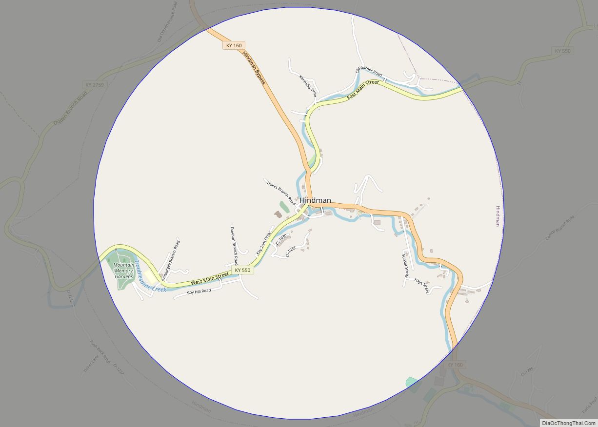
Hindman (locally /ˈhaɪndmən/) is a home rule-class town in, and the county seat of, Knott County, Kentucky, in the United States. The population was 777 at the 2010 U.S. census.
| Name: | Hindman city |
|---|---|
| LSAD Code: | 25 |
| LSAD Description: | city (suffix) |
| State: | Kentucky |
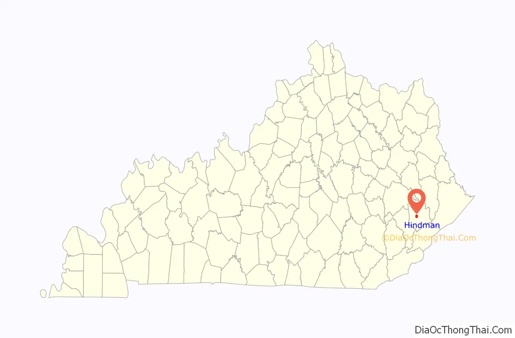
| County: | Knott County |
| Incorporated: | March 23, 1886 |
| Elevation: | 1,115 ft (340 m) |
| Total Area: | 3.11 sq mi (8.06 km²) |
| Land Area: | 3.11 sq mi (8.06 km²) |
| Water Area: | 0.00 sq mi (0.00 km²) |
| Total Population: | 701 |
| Population Density: | 225.33/sq mi (87.01/km²) |
| ZIP code: | 41822 |
| Area code: | 606 |
| FIPS code: | 2137108 |
| GNISfeature ID: | 0494291 |
Online Interactive Map
Click on ![]() to view map in "full screen" mode.
to view map in "full screen" mode.
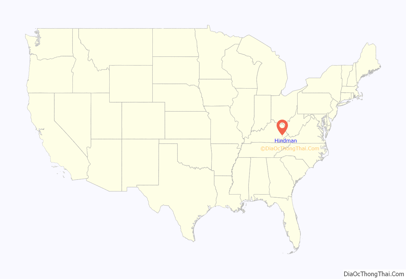
Hindman location map. Where is Hindman city?
History
The land for the town was provided by local landowner and postmaster Peyton Duke, but Hindman was named in honor of James Hindman, who was the lieutenant governor when the town was founded in 1884 to serve as the seat of government for the newly formed Knott County.
Hindman is home to the Hindman Settlement School, which was the earliest rural settlement school.
Hindman was served by a pack horse library, which opened in 1935.
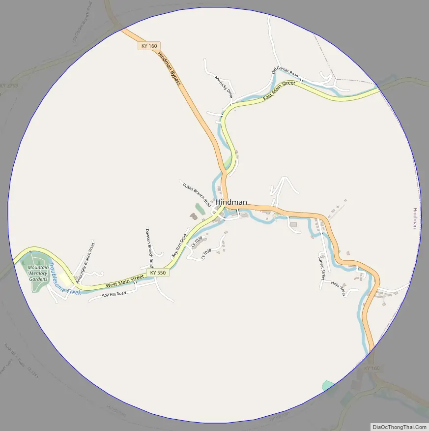
Hindman Road Map
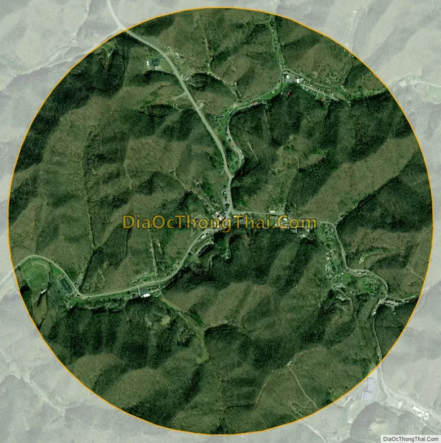
Hindman city Satellite Map
Geography
Hindman is located just west of the center of Knott County at 37°20′14″N 82°58′52″W / 37.33722°N 82.98111°W / 37.33722; -82.98111 (37.337174, -82.981147). It sits in the valley of Troublesome Creek, at the junction of its Left Fork and Right Fork. Kentucky Routes 160 and 550 pass through the center of town, and Kentucky Route 80, a four-lane highway, passes just north of the city limits. KY 80 leads northeast 29 miles (47 km) to Prestonsburg and southwest 16 miles (26 km) to the outskirts of Hazard.
According to the United States Census Bureau, Hindman has a total area of 3.1 square miles (8.1 km), all land. Via Troublesome Creek, the city is within the watershed of the Kentucky River.
See also
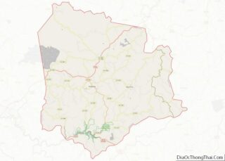
Map of Kentucky State and its subdivision:- Adair
- Allen
- Anderson
- Ballard
- Barren
- Bath
- Bell
- Boone
- Bourbon
- Boyd
- Boyle
- Bracken
- Breathitt
- Breckinridge
- Bullitt
- Butler
- Caldwell
- Calloway
- Campbell
- Carlisle
- Carroll
- Carter
- Casey
- Christian
- Clark
- Clay
- Clinton
- Crittenden
- Cumberland
- Daviess
- Edmonson
- Elliott
- Estill
- Fayette
- Fleming
- Floyd
- Franklin
- Fulton
- Gallatin
- Garrard
- Grant
- Graves
- Grayson
- Green
- Greenup
- Hancock
- Hardin
- Harlan
- Harrison
- Hart
- Henderson
- Henry
- Hickman
- Hopkins
- Jackson
- Jefferson
- Jessamine
- Johnson
- Kenton
- Knott
- Knox
- Larue
- Laurel
- Lawrence
- Lee
- Leslie
- Letcher
- Lewis
- Lincoln
- Livingston
- Logan
- Lyon
- Madison
- Magoffin
- Marion
- Marshall
- Martin
- Mason
- McCracken
- McCreary
- McLean
- Meade
- Menifee
- Mercer
- Metcalfe
- Monroe
- Montgomery
- Morgan
- Muhlenberg
- Nelson
- Nicholas
- Ohio
- Oldham
- Owen
- Owsley
- Pendleton
- Perry
- Pike
- Powell
- Pulaski
- Robertson
- Rockcastle
- Rowan
- Russell
- Scott
- Shelby
- Simpson
- Spencer
- Taylor
- Todd
- Trigg
- Trimble
- Union
- Warren
- Washington
- Wayne
- Webster
- Whitley
- Wolfe
- Woodford
- Alabama
- Alaska
- Arizona
- Arkansas
- California
- Colorado
- Connecticut
- Delaware
- District of Columbia
- Florida
- Georgia
- Hawaii
- Idaho
- Illinois
- Indiana
- Iowa
- Kansas
- Kentucky
- Louisiana
- Maine
- Maryland
- Massachusetts
- Michigan
- Minnesota
- Mississippi
- Missouri
- Montana
- Nebraska
- Nevada
- New Hampshire
- New Jersey
- New Mexico
- New York
- North Carolina
- North Dakota
- Ohio
- Oklahoma
- Oregon
- Pennsylvania
- Rhode Island
- South Carolina
- South Dakota
- Tennessee
- Texas
- Utah
- Vermont
- Virginia
- Washington
- West Virginia
- Wisconsin
- Wyoming