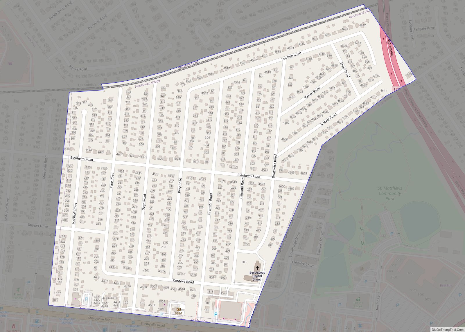
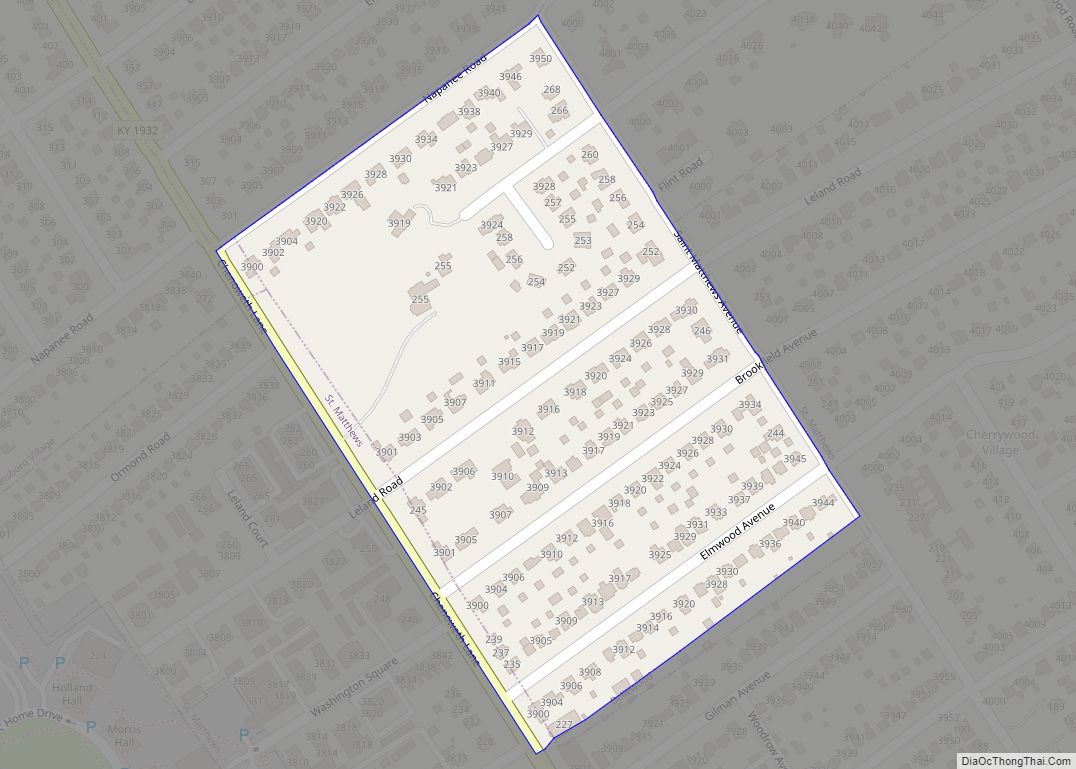
Beechwood Village is a home rule-class city in Jefferson County, Kentucky, United States. The city was formally incorporated by the state assembly in 1950. The population was 1,324 at the 2010 census, up from 1,173 at the 2000 census. Beechwood Village city overview: Name: Beechwood Village city LSAD Code: 25 LSAD Description: city (suffix) State: ... Read more
Kentucky Cities and Places
Bellevue is a home rule-class city in Campbell County, Kentucky, in the United States. It is located along the southern bank of the Ohio River. The population was 5,955 at the 2010 census. Bellevue city overview: Name: Bellevue city LSAD Code: 25 LSAD Description: city (suffix) State: Kentucky County: Campbell County Elevation: 548 ft (167 m) Total ... Read more
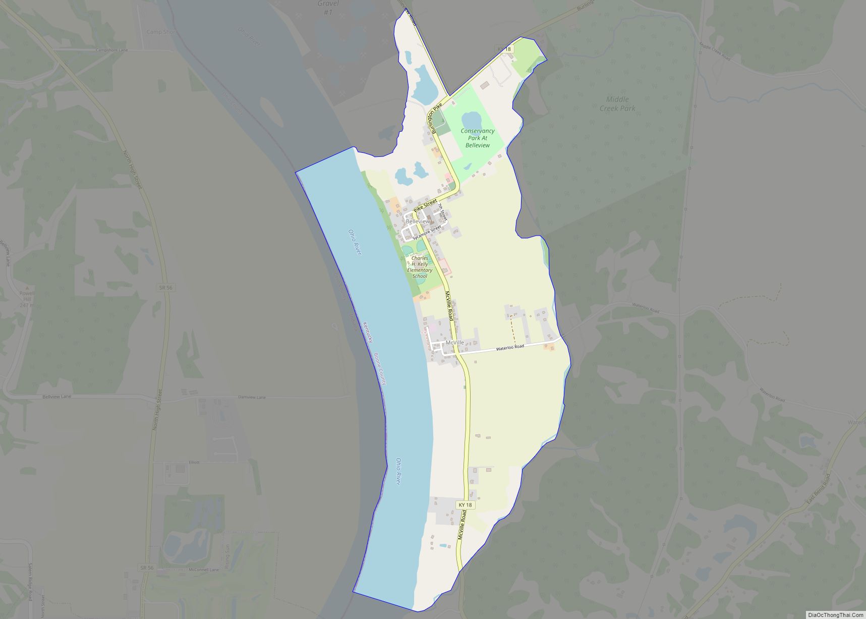
Belleview is an unincorporated community and census-designated place (CDP) in Boone County, Kentucky, United States. The population was 343 at the 2010 census. Belleview CDP overview: Name: Belleview CDP LSAD Code: 57 LSAD Description: CDP (suffix) State: Kentucky County: Boone County Elevation: 509 ft (155 m) Total Area: 1.86 sq mi (4.82 km²) Land Area: 1.36 sq mi (3.52 km²) Water Area: 0.50 sq mi ... Read more
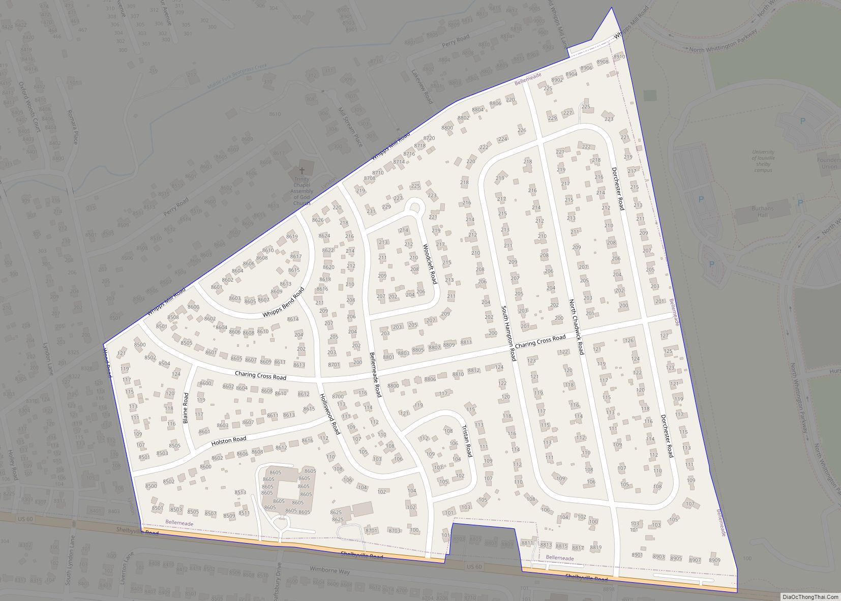
Bellemeade is a home rule-class city in Jefferson County, Kentucky, United States. It was formally incorporated by the state assembly in 1956. The population was 865 at the 2010 census. Bellemeade city overview: Name: Bellemeade city LSAD Code: 25 LSAD Description: city (suffix) State: Kentucky County: Jefferson County Elevation: 597 ft (182 m) Total Area: 0.29 sq mi (0.76 km²) ... Read more
Benton is a home rule-class city in Marshall County, Kentucky, United States. The current mayor of this city is Rita Dotson. The population was 4,756 at the 2020 census. It is the county seat of Marshall County. Benton city overview: Name: Benton city LSAD Code: 25 LSAD Description: city (suffix) State: Kentucky County: Marshall County ... Read more
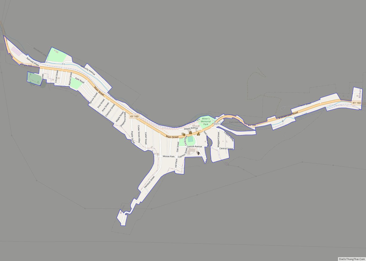
Benham is a home rule-class city in Harlan County, Kentucky, in the United States. The city was formally incorporated by the General Assembly in 1961. The population was 512 at the 2020 census, up from 500 at the 2010 census. Benham city overview: Name: Benham city LSAD Code: 25 LSAD Description: city (suffix) State: Kentucky ... Read more
Bellewood is a home rule-class city in Jefferson County, Kentucky, United States. The city was formally incorporated by the state assembly in 1950. The population was 321 at the 2010 census. Bellewood city overview: Name: Bellewood city LSAD Code: 25 LSAD Description: city (suffix) State: Kentucky County: Jefferson County Elevation: 558 ft (170 m) Total Area: 0.08 sq mi ... Read more
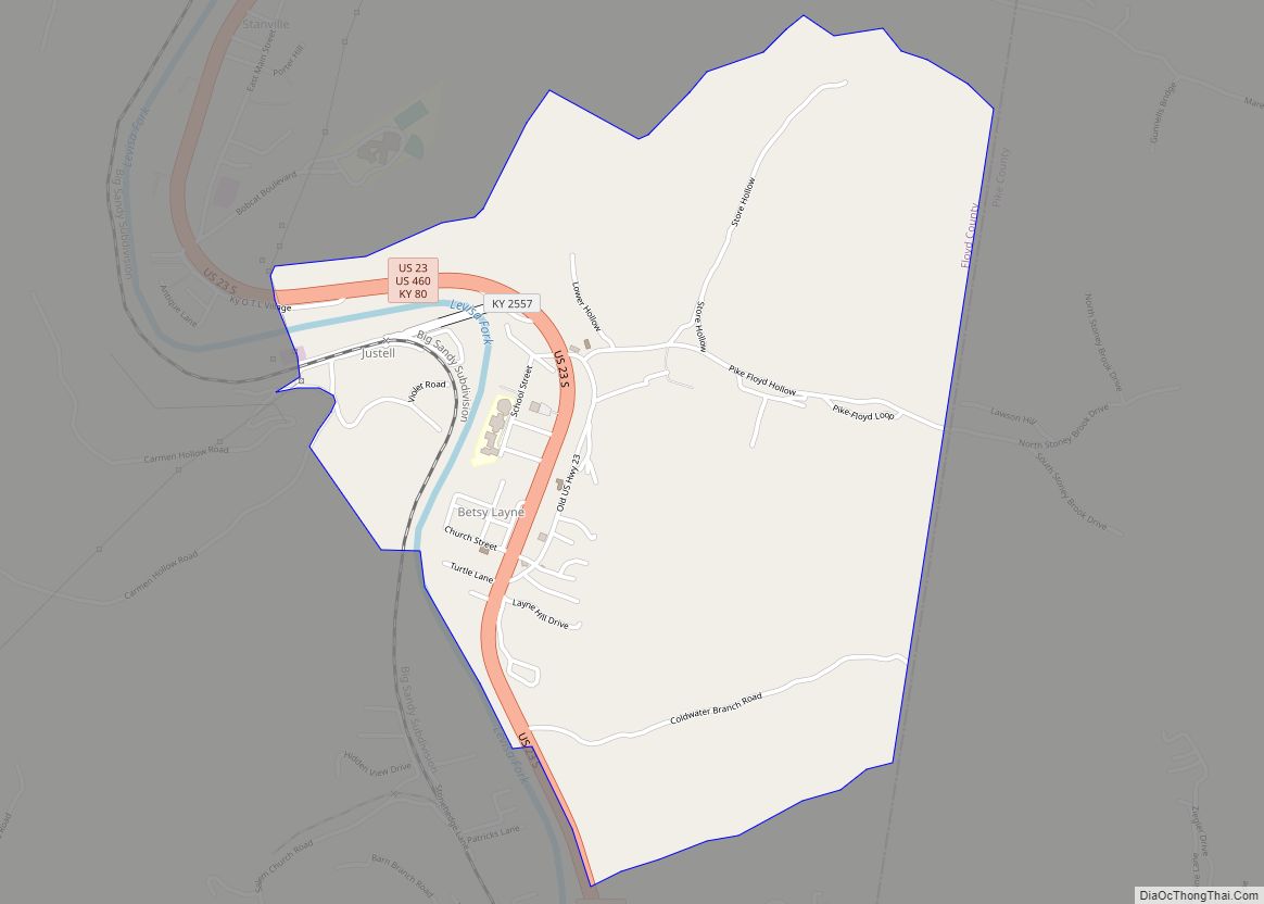
Betsy Layne is a census-designated place (CDP) and coal town in Floyd County, Kentucky, United States. It was established in 1875 along the Levisa Fork. The post office opened on May 1, 1908, with Clayton S. Hitchins as postmaster. Its ZIP code is 41605. The 2010 census reported the population to be 688. Stage actress ... Read more
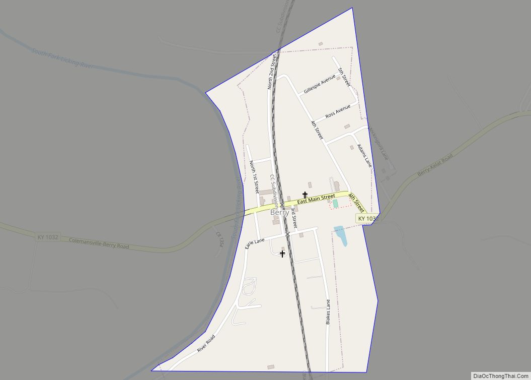
Berry is a home rule-class city in Harrison County, Kentucky, in the United States. The city was formally incorporated by the state assembly in 1867 as “Berryville”. It was renamed “Berry Station” two years later. The population was 264 at the 2010 census, down from 310 at the 2000 census. Berry city overview: Name: Berry ... Read more
Berea (/bəˈriːə/ bə-REE-ə) is a home rule-class city in Madison County, Kentucky, in the United States. The town is best known for its art festivals, historic restaurants and buildings, and as the home to Berea College, a private liberal arts college. The population was 15,539 at the 2020 census. It is one of the fastest-growing ... Read more
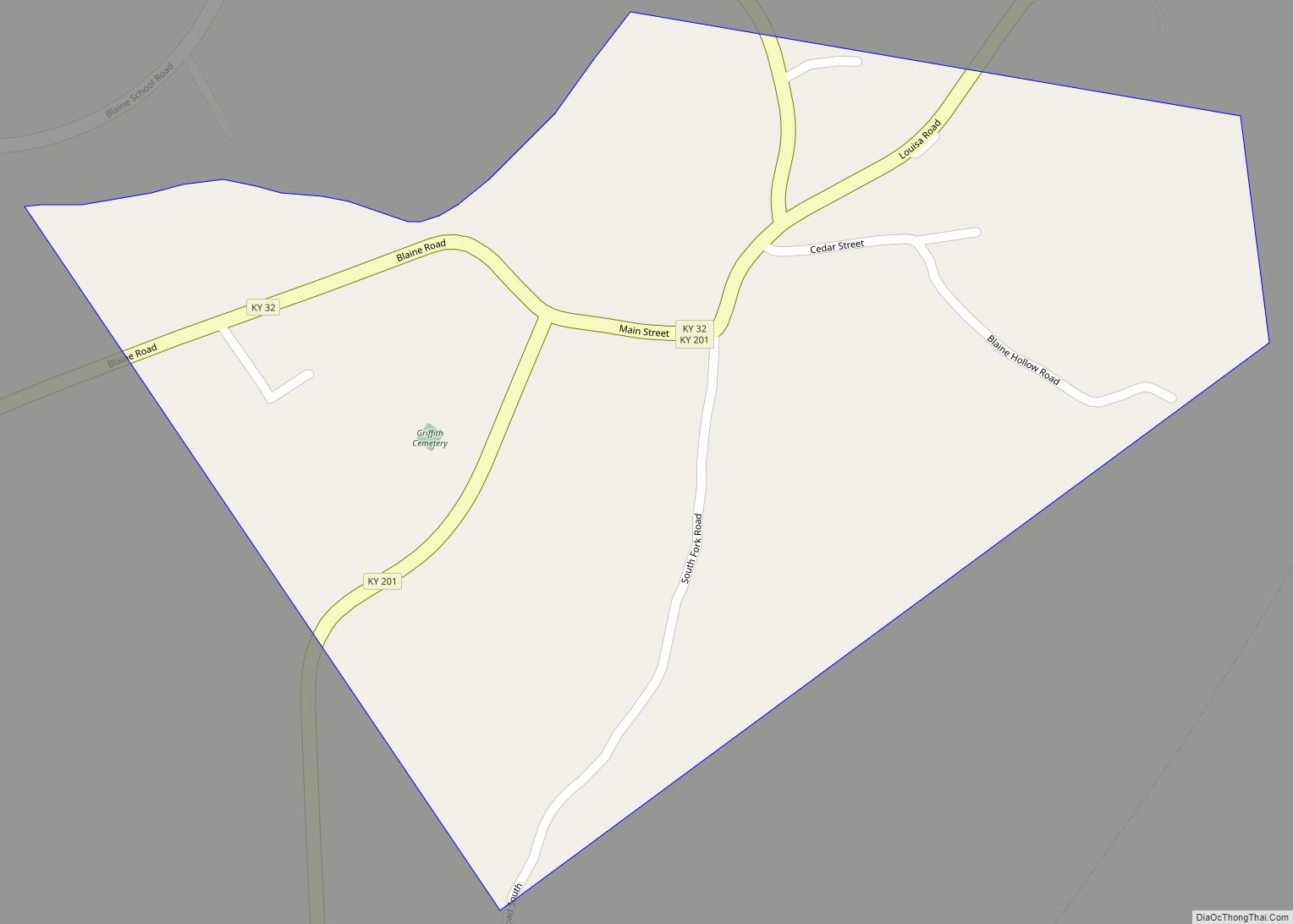
Blaine is a home rule-class city in Lawrence County, Kentucky, United States. The population was 47 at the 2010 census, down from 245 at the 2000 census. Blaine city overview: Name: Blaine city LSAD Code: 25 LSAD Description: city (suffix) State: Kentucky County: Lawrence County Incorporated: March 10, 1886 Elevation: 659 ft (201 m) Total Area: 0.28 sq mi ... Read more
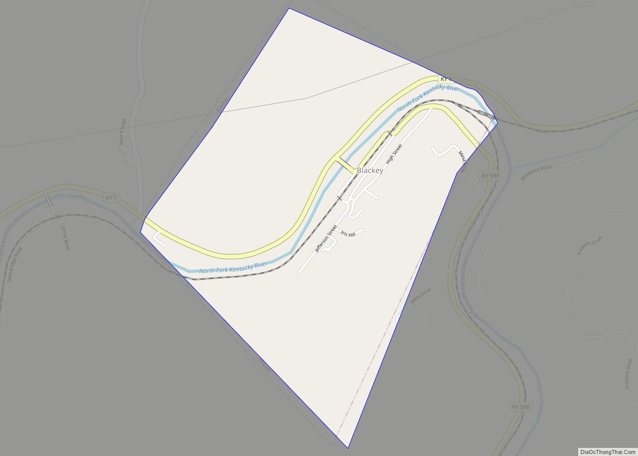
Blackey is an unincorporated community in Letcher County, Kentucky, in the United States. As of the 2010 census, the population was 120. It is located near the early settlement of Indian Bottom. Blackey is thought to have been named after Blackey Brown, one of its citizens. Blackey city overview: Name: Blackey city LSAD Code: 25 ... Read more
