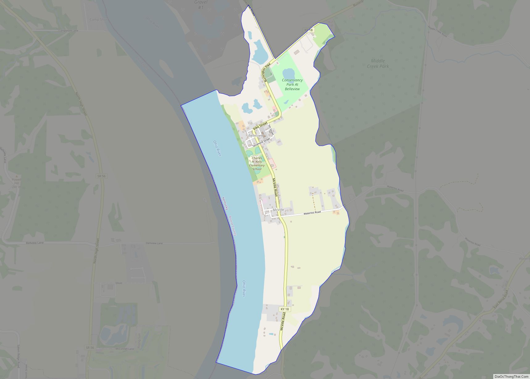
Belleview is an unincorporated community and census-designated place (CDP) in Boone County, Kentucky, United States. The population was 343 at the 2010 census.
| Name: | Belleview CDP |
|---|---|
| LSAD Code: | 57 |
| LSAD Description: | CDP (suffix) |
| State: | Kentucky |
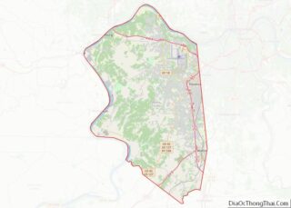
| County: | Boone County |
| Elevation: | 509 ft (155 m) |
| Total Area: | 1.86 sq mi (4.82 km²) |
| Land Area: | 1.36 sq mi (3.52 km²) |
| Water Area: | 0.50 sq mi (1.30 km²) |
| Total Population: | 308 |
| Population Density: | 226.47/sq mi (87.42/km²) |
| Area code: | 859 |
| FIPS code: | 2105428 |
| GNISfeature ID: | 0486809 |
Online Interactive Map
Click on ![]() to view map in "full screen" mode.
to view map in "full screen" mode.
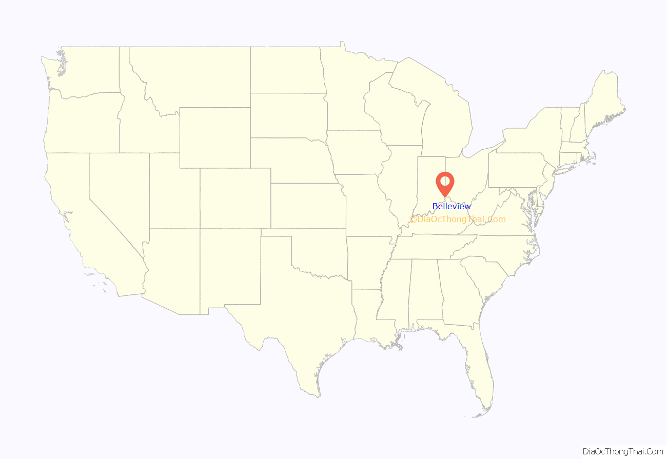
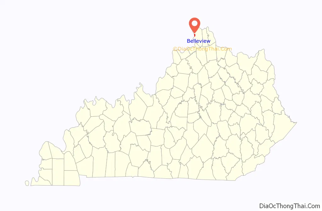
Belleview location map. Where is Belleview CDP?
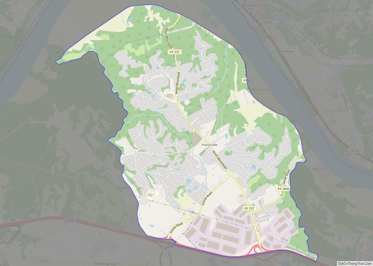
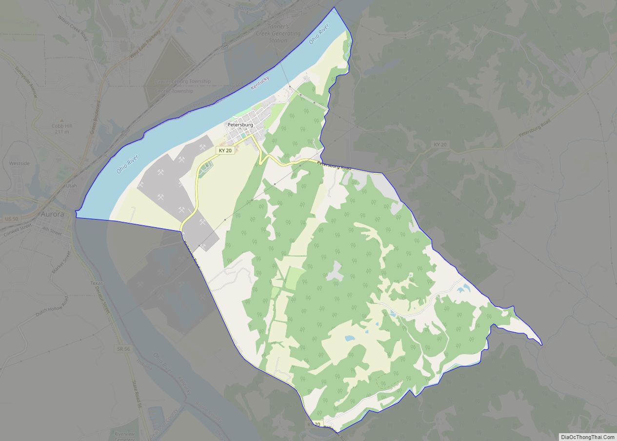
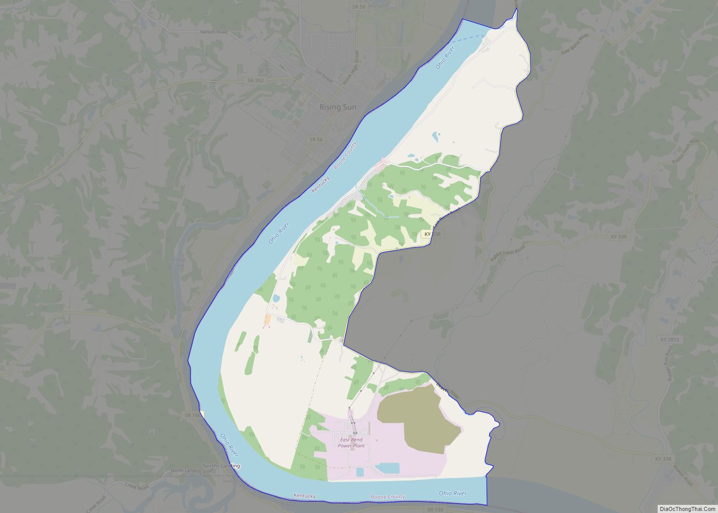
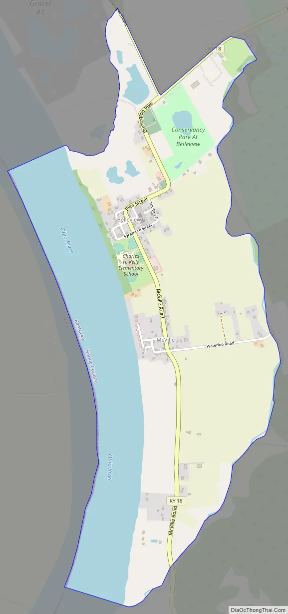
Belleview Road Map
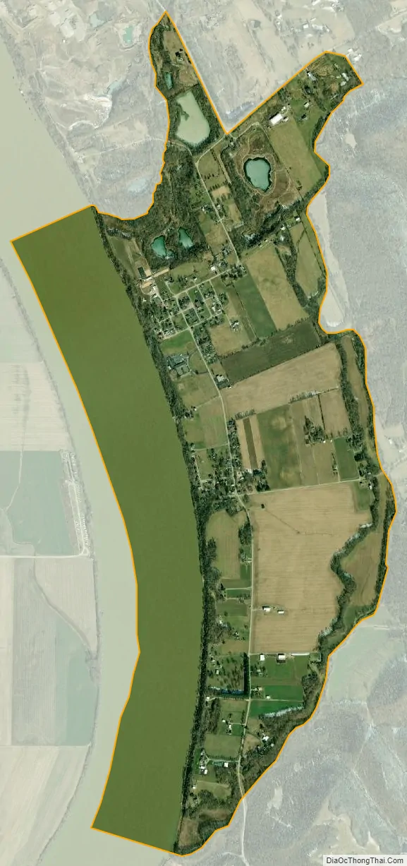
Belleview city Satellite Map
Geography
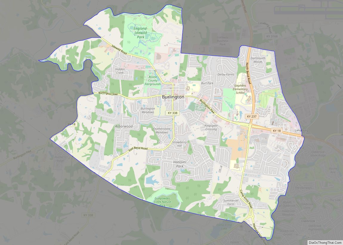
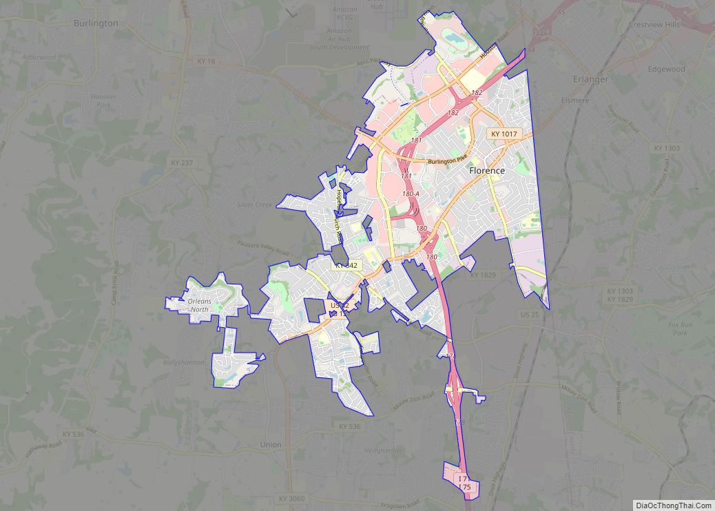
Belleview is located in western Boone County along the Ohio River, 24 miles (39 km) southwest of downtown Cincinnati. Kentucky Route 18 (Burlington Pike) runs east from Belleview 7 miles (11 km) to Burlington (the Boone County seat) and 13 miles (21 km) to Florence.
According to the United States Census Bureau, Belleview has a total area of 1.9 square miles (4.8 km), of which 1.4 square miles (3.5 km) is land and 0.50 square miles (1.3 km), or 26.99%, is water, consisting of the Ohio River out to its centerline, which is the border with Indiana.
Belleview is the location of six places listed on the U.S. National Register of Historic Places:
- Belleview Baptist Church
- Belleview Post Office
- Clore House
- Jonas Clore House
- Flick House
- James Rogers House
See also
Map of Kentucky State and its subdivision:- Adair
- Allen
- Anderson
- Ballard
- Barren
- Bath
- Bell
- Boone
- Bourbon
- Boyd
- Boyle
- Bracken
- Breathitt
- Breckinridge
- Bullitt
- Butler
- Caldwell
- Calloway
- Campbell
- Carlisle
- Carroll
- Carter
- Casey
- Christian
- Clark
- Clay
- Clinton
- Crittenden
- Cumberland
- Daviess
- Edmonson
- Elliott
- Estill
- Fayette
- Fleming
- Floyd
- Franklin
- Fulton
- Gallatin
- Garrard
- Grant
- Graves
- Grayson
- Green
- Greenup
- Hancock
- Hardin
- Harlan
- Harrison
- Hart
- Henderson
- Henry
- Hickman
- Hopkins
- Jackson
- Jefferson
- Jessamine
- Johnson
- Kenton
- Knott
- Knox
- Larue
- Laurel
- Lawrence
- Lee
- Leslie
- Letcher
- Lewis
- Lincoln
- Livingston
- Logan
- Lyon
- Madison
- Magoffin
- Marion
- Marshall
- Martin
- Mason
- McCracken
- McCreary
- McLean
- Meade
- Menifee
- Mercer
- Metcalfe
- Monroe
- Montgomery
- Morgan
- Muhlenberg
- Nelson
- Nicholas
- Ohio
- Oldham
- Owen
- Owsley
- Pendleton
- Perry
- Pike
- Powell
- Pulaski
- Robertson
- Rockcastle
- Rowan
- Russell
- Scott
- Shelby
- Simpson
- Spencer
- Taylor
- Todd
- Trigg
- Trimble
- Union
- Warren
- Washington
- Wayne
- Webster
- Whitley
- Wolfe
- Woodford
- Alabama
- Alaska
- Arizona
- Arkansas
- California
- Colorado
- Connecticut
- Delaware
- District of Columbia
- Florida
- Georgia
- Hawaii
- Idaho
- Illinois
- Indiana
- Iowa
- Kansas
- Kentucky
- Louisiana
- Maine
- Maryland
- Massachusetts
- Michigan
- Minnesota
- Mississippi
- Missouri
- Montana
- Nebraska
- Nevada
- New Hampshire
- New Jersey
- New Mexico
- New York
- North Carolina
- North Dakota
- Ohio
- Oklahoma
- Oregon
- Pennsylvania
- Rhode Island
- South Carolina
- South Dakota
- Tennessee
- Texas
- Utah
- Vermont
- Virginia
- Washington
- West Virginia
- Wisconsin
- Wyoming