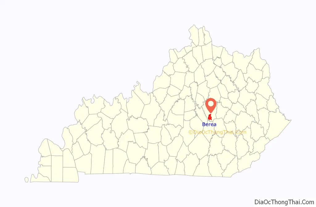
Berea (/bəˈriːə/ bə-REE-ə) is a home rule-class city in Madison County, Kentucky, in the United States. The town is best known for its art festivals, historic restaurants and buildings, and as the home to Berea College, a private liberal arts college. The population was 15,539 at the 2020 census. It is one of the fastest-growing towns in Kentucky, having increased by 27.4% since 2000. Berea is a principal city of the Richmond−Berea Micropolitan Statistical Area, which includes Madison and Rockcastle counties. It was formally incorporated by the state assembly in 1890.
| Name: | Berea city |
|---|---|
| LSAD Code: | 25 |
| LSAD Description: | city (suffix) |
| State: | Kentucky |
| County: | Madison County |
| Elevation: | 1,024 ft (312 m) |
| Total Area: | 16.58 sq mi (42.95 km²) |
| Land Area: | 16.51 sq mi (42.76 km²) |
| Water Area: | 0.07 sq mi (0.19 km²) |
| Total Population: | 15,539 |
| Population Density: | 941.13/sq mi (363.36/km²) |
| ZIP code: | 40403-40404 |
| Area code: | 859 |
| FIPS code: | 2105842 |
| GNISfeature ID: | 0486894 |
| Website: | bereaky.gov |
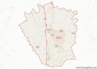
Online Interactive Map
Click on ![]() to view map in "full screen" mode.
to view map in "full screen" mode.
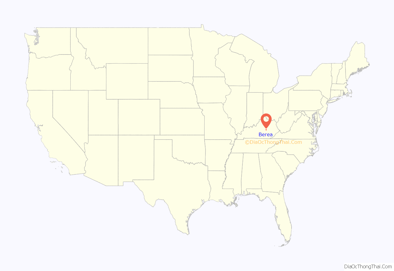
Berea location map. Where is Berea city?
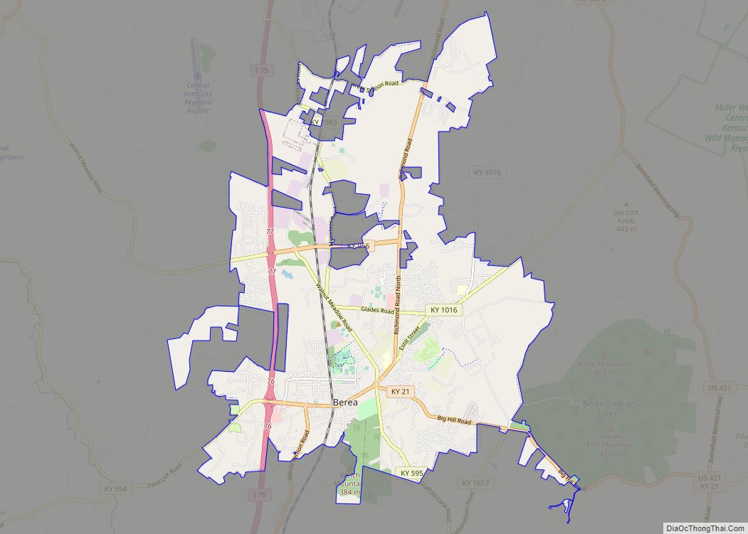
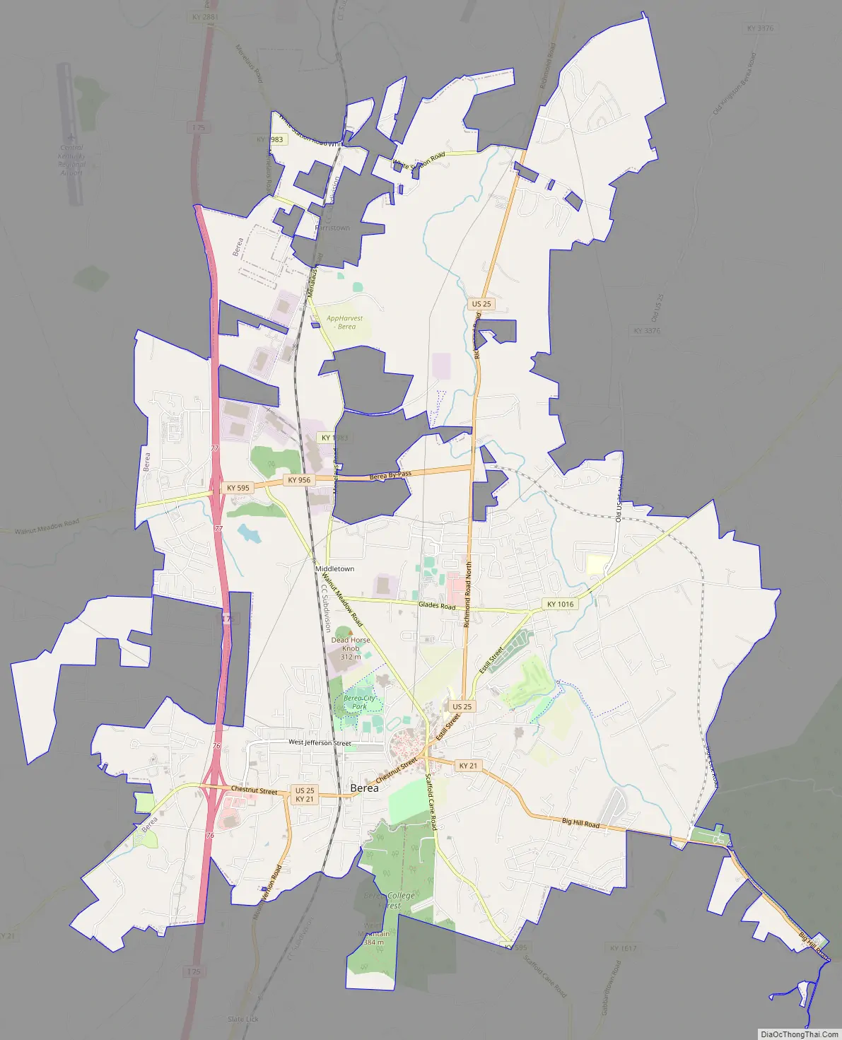
Berea Road Map
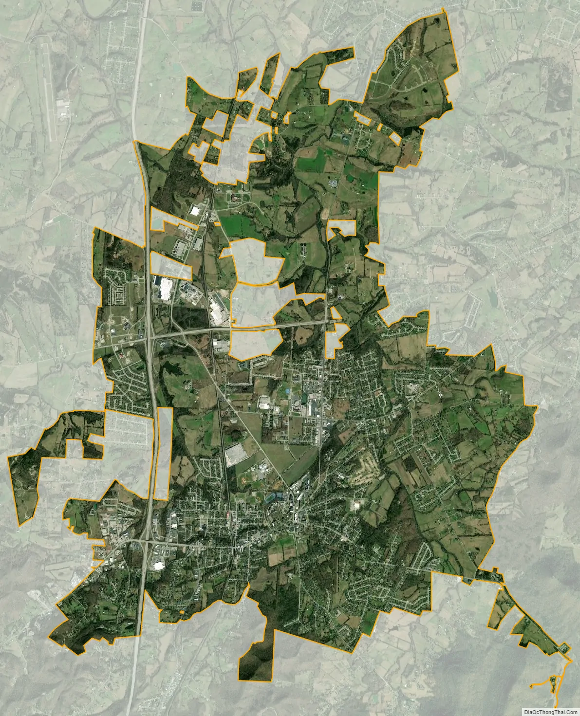
Berea city Satellite Map
Geography
According to the United States Census Bureau, the city has a total area of 9.4 square miles (24 km), of which 9.3 square miles (24 km) is land and 0.04 square miles (0.10 km) (0.32%) is water. The city is located along Interstate 75, which runs to the west of downtown, with access from exits 76 and 77. Via I-75, Lexington is 40 mi (64 km) north, and Knoxville, Tennessee is 134 mi (216 km) south. U.S. Route 25 is the main highway through the center of town, leading north 14 mi (23 km) to Richmond, the Madison County seat, and south 17 mi (27 km) to Mount Vernon. Kentucky Route 21 also runs through the city as well, leading east 6 mi (9.7 km) to Bighill and northwest 10 mi (16 km) to Paint Lick.
Berea is located on the border of the Cumberland Plateau. The area has a mountainous appearance, but most outcroppings in the area have a maximum elevation of 2,500 feet or 760 metres.
Climate
Berea has a humid subtropical climate, with hot summers and relatively cold winters. Summers tend to be humid and sunny, with occasional storms, while winters are generally cold with many milder periods.
See also
Map of Kentucky State and its subdivision:- Adair
- Allen
- Anderson
- Ballard
- Barren
- Bath
- Bell
- Boone
- Bourbon
- Boyd
- Boyle
- Bracken
- Breathitt
- Breckinridge
- Bullitt
- Butler
- Caldwell
- Calloway
- Campbell
- Carlisle
- Carroll
- Carter
- Casey
- Christian
- Clark
- Clay
- Clinton
- Crittenden
- Cumberland
- Daviess
- Edmonson
- Elliott
- Estill
- Fayette
- Fleming
- Floyd
- Franklin
- Fulton
- Gallatin
- Garrard
- Grant
- Graves
- Grayson
- Green
- Greenup
- Hancock
- Hardin
- Harlan
- Harrison
- Hart
- Henderson
- Henry
- Hickman
- Hopkins
- Jackson
- Jefferson
- Jessamine
- Johnson
- Kenton
- Knott
- Knox
- Larue
- Laurel
- Lawrence
- Lee
- Leslie
- Letcher
- Lewis
- Lincoln
- Livingston
- Logan
- Lyon
- Madison
- Magoffin
- Marion
- Marshall
- Martin
- Mason
- McCracken
- McCreary
- McLean
- Meade
- Menifee
- Mercer
- Metcalfe
- Monroe
- Montgomery
- Morgan
- Muhlenberg
- Nelson
- Nicholas
- Ohio
- Oldham
- Owen
- Owsley
- Pendleton
- Perry
- Pike
- Powell
- Pulaski
- Robertson
- Rockcastle
- Rowan
- Russell
- Scott
- Shelby
- Simpson
- Spencer
- Taylor
- Todd
- Trigg
- Trimble
- Union
- Warren
- Washington
- Wayne
- Webster
- Whitley
- Wolfe
- Woodford
- Alabama
- Alaska
- Arizona
- Arkansas
- California
- Colorado
- Connecticut
- Delaware
- District of Columbia
- Florida
- Georgia
- Hawaii
- Idaho
- Illinois
- Indiana
- Iowa
- Kansas
- Kentucky
- Louisiana
- Maine
- Maryland
- Massachusetts
- Michigan
- Minnesota
- Mississippi
- Missouri
- Montana
- Nebraska
- Nevada
- New Hampshire
- New Jersey
- New Mexico
- New York
- North Carolina
- North Dakota
- Ohio
- Oklahoma
- Oregon
- Pennsylvania
- Rhode Island
- South Carolina
- South Dakota
- Tennessee
- Texas
- Utah
- Vermont
- Virginia
- Washington
- West Virginia
- Wisconsin
- Wyoming