Blaine is a home rule-class city in Lawrence County, Kentucky, United States. The population was 47 at the 2010 census, down from 245 at the 2000 census.
| Name: | Blaine city |
|---|---|
| LSAD Code: | 25 |
| LSAD Description: | city (suffix) |
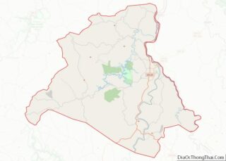
| State: | Kentucky |
| County: | Lawrence County |
| Incorporated: | March 10, 1886 |
| Elevation: | 659 ft (201 m) |
| Total Area: | 0.28 sq mi (0.74 km²) |
| Land Area: | 0.28 sq mi (0.73 km²) |
| Water Area: | 0.00 sq mi (0.00 km²) |
| Total Population: | 66 |
| Population Density: | 233.22/sq mi (90.00/km²) |
| ZIP code: | 41124 |
| Area code: | 606 |
| FIPS code: | 2107264 |
| GNISfeature ID: | 0487427 |
Online Interactive Map
Click on ![]() to view map in "full screen" mode.
to view map in "full screen" mode.
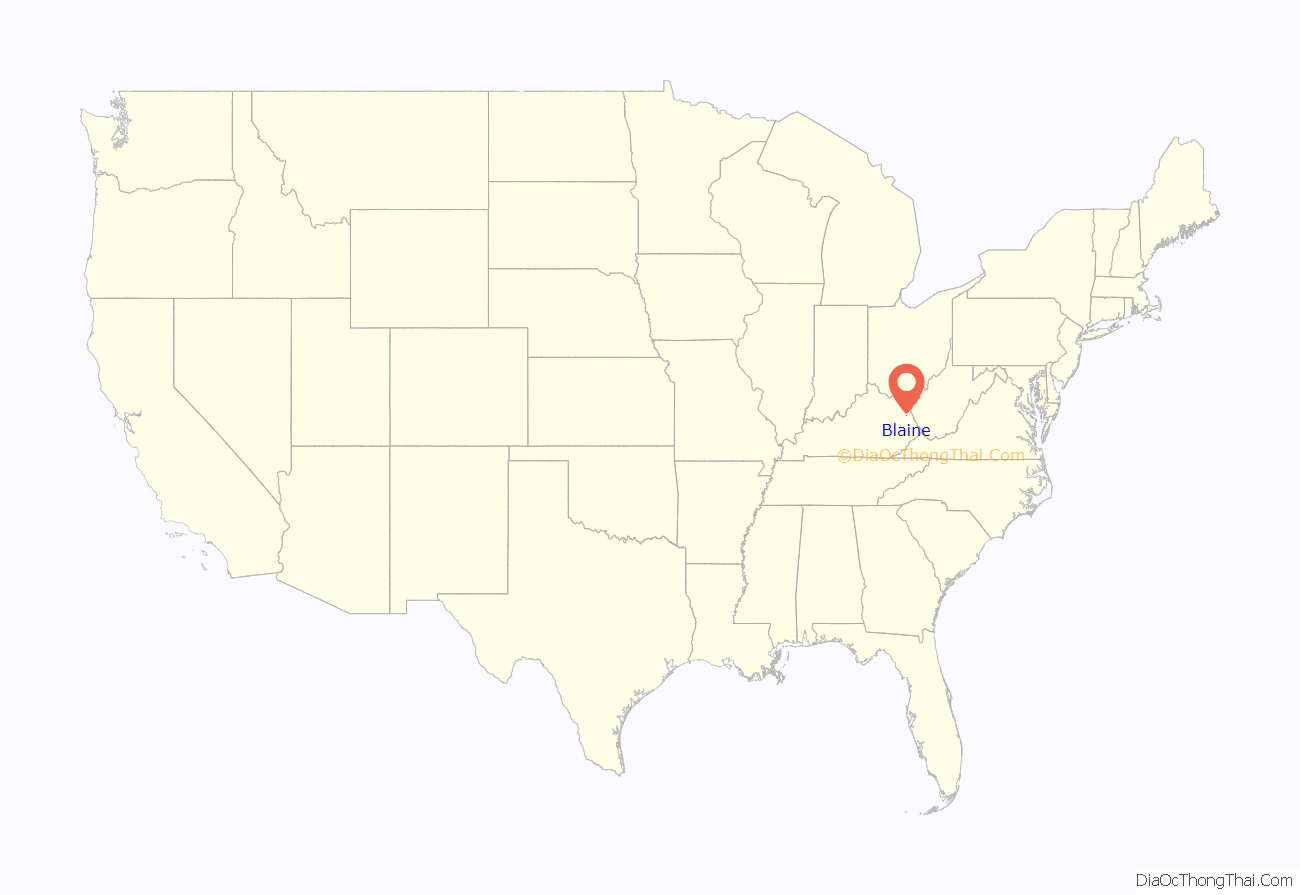
Blaine location map. Where is Blaine city?

History
Blaine was originally settled c. 1800 and established as a local trade center by 1882. The post office has been in operation since at least May 10, 1828 (Neri Swetnam, postmaster). Although the city was incorporated as “Blaine” on March 10, 1886, it was alternatively known as “Blainetown” or “Mouth of Hood” for the remainder of the 19th century.
In the 2016 city election, Brad Mattingly was elected mayor.
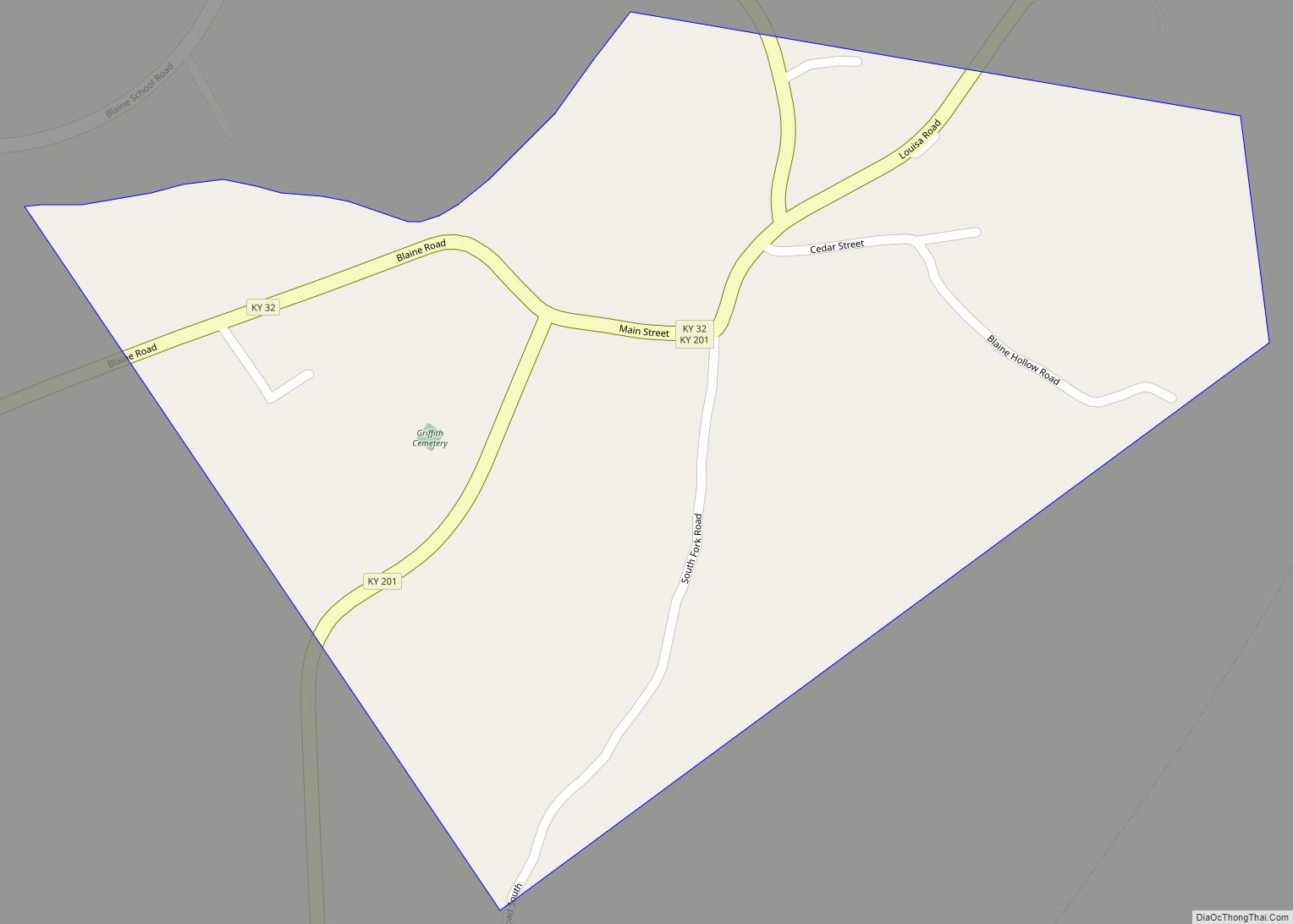
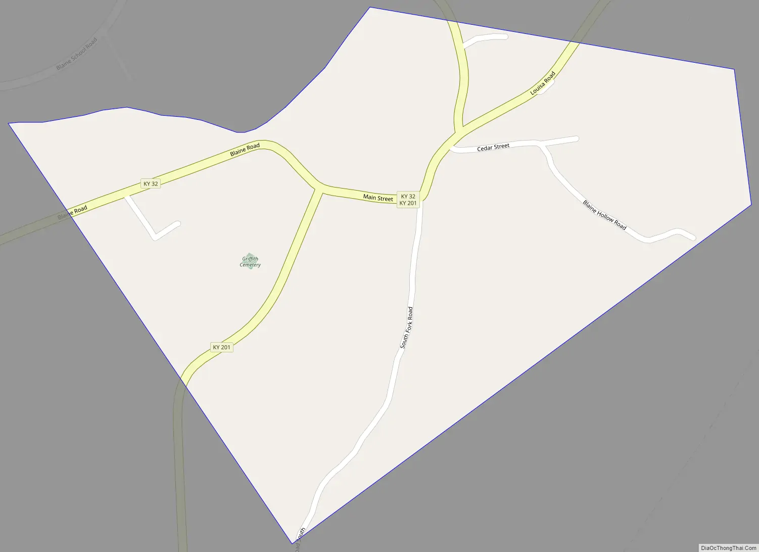
Blaine Road Map
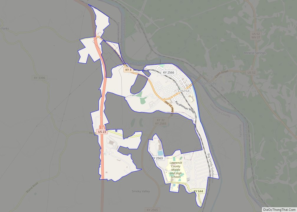
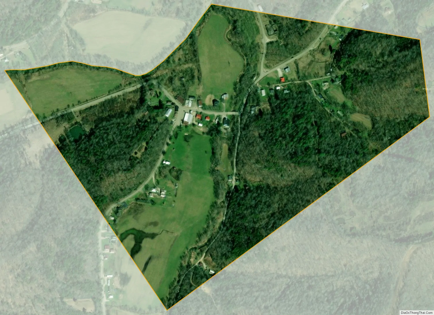
Blaine city Satellite Map
Geography
Blaine is located in western Lawrence County at 38°1′33″N 82°51′19″W / 38.02583°N 82.85528°W / 38.02583; -82.85528 (38.025742, -82.855152), in the valley of Blaine Creek, a northeast-flowing tributary of the Big Sandy River. Hood Creek joins Blaine Creek from the south at Blaine.
Kentucky Route 32 passes through Blaine, leading east 18 miles (29 km) to Louisa and west 20 miles (32 km) to Sandy Hook. Kentucky Route 201 passes through the center of Blaine with KY 32 but leads north 13 miles (21 km) to Webbville and south 18 miles (29 km) to Staffordsville.
According to the United States Census Bureau, the city has a total area of 0.29 square miles (0.74 km), of which 0.43 acres (1,757 m), or 0.24%, are water.
See also
Map of Kentucky State and its subdivision:- Adair
- Allen
- Anderson
- Ballard
- Barren
- Bath
- Bell
- Boone
- Bourbon
- Boyd
- Boyle
- Bracken
- Breathitt
- Breckinridge
- Bullitt
- Butler
- Caldwell
- Calloway
- Campbell
- Carlisle
- Carroll
- Carter
- Casey
- Christian
- Clark
- Clay
- Clinton
- Crittenden
- Cumberland
- Daviess
- Edmonson
- Elliott
- Estill
- Fayette
- Fleming
- Floyd
- Franklin
- Fulton
- Gallatin
- Garrard
- Grant
- Graves
- Grayson
- Green
- Greenup
- Hancock
- Hardin
- Harlan
- Harrison
- Hart
- Henderson
- Henry
- Hickman
- Hopkins
- Jackson
- Jefferson
- Jessamine
- Johnson
- Kenton
- Knott
- Knox
- Larue
- Laurel
- Lawrence
- Lee
- Leslie
- Letcher
- Lewis
- Lincoln
- Livingston
- Logan
- Lyon
- Madison
- Magoffin
- Marion
- Marshall
- Martin
- Mason
- McCracken
- McCreary
- McLean
- Meade
- Menifee
- Mercer
- Metcalfe
- Monroe
- Montgomery
- Morgan
- Muhlenberg
- Nelson
- Nicholas
- Ohio
- Oldham
- Owen
- Owsley
- Pendleton
- Perry
- Pike
- Powell
- Pulaski
- Robertson
- Rockcastle
- Rowan
- Russell
- Scott
- Shelby
- Simpson
- Spencer
- Taylor
- Todd
- Trigg
- Trimble
- Union
- Warren
- Washington
- Wayne
- Webster
- Whitley
- Wolfe
- Woodford
- Alabama
- Alaska
- Arizona
- Arkansas
- California
- Colorado
- Connecticut
- Delaware
- District of Columbia
- Florida
- Georgia
- Hawaii
- Idaho
- Illinois
- Indiana
- Iowa
- Kansas
- Kentucky
- Louisiana
- Maine
- Maryland
- Massachusetts
- Michigan
- Minnesota
- Mississippi
- Missouri
- Montana
- Nebraska
- Nevada
- New Hampshire
- New Jersey
- New Mexico
- New York
- North Carolina
- North Dakota
- Ohio
- Oklahoma
- Oregon
- Pennsylvania
- Rhode Island
- South Carolina
- South Dakota
- Tennessee
- Texas
- Utah
- Vermont
- Virginia
- Washington
- West Virginia
- Wisconsin
- Wyoming