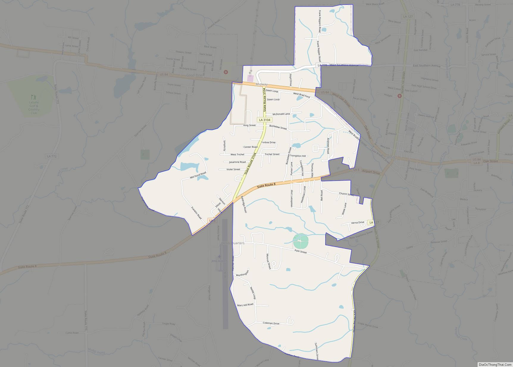
Midway is an unincorporated community and census-designated place (CDP) in LaSalle Parish, Louisiana, United States. The population was 1,291 at the 2010 census, down from 1,505 at the 2000 census. Midway CDP overview: Name: Midway CDP LSAD Code: 57 LSAD Description: CDP (suffix) State: Louisiana County: LaSalle Parish Elevation: 203 ft (62 m) Total Area: 3.06 sq mi (7.93 km²) ... Read more
Louisiana Cities and Places
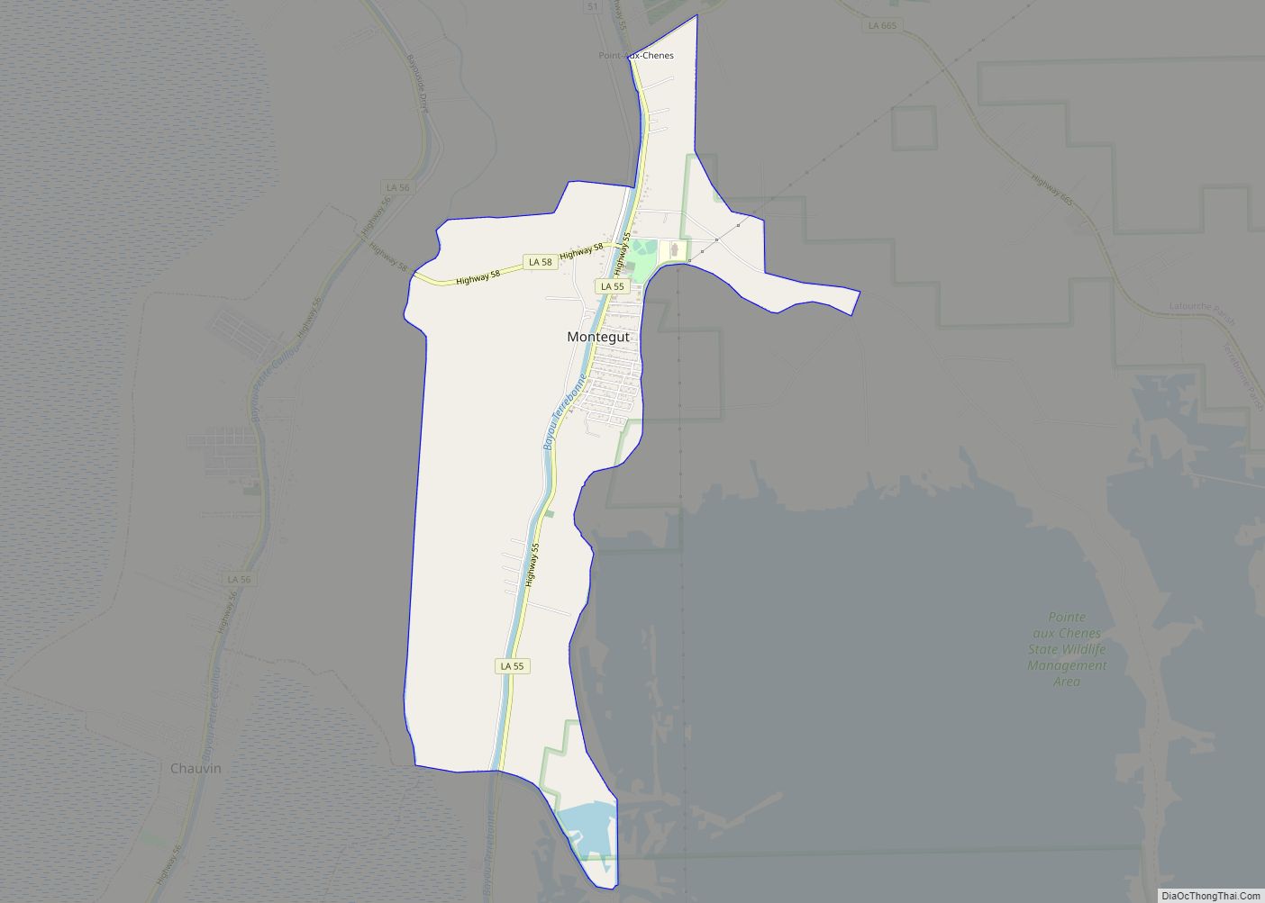
Montegut is a census-designated place (CDP) in Terrebonne Parish, Louisiana, United States. The population was 1,540 at the 2010 census. It is part of the Houma–Bayou Cane–Thibodaux metropolitan statistical area. It was the primary filming location for the 2012 film Beasts of the Southern Wild. Montegut CDP overview: Name: Montegut CDP LSAD Code: 57 LSAD ... Read more
Monroe (historically French: Poste-du-Ouachita) is the eighth-largest city in the U.S. state of Louisiana, and parish seat of Ouachita Parish. With a 2020 census-tabulated population of 47,702, it is the principal city of the Monroe metropolitan statistical area, the second-largest metropolitan area in North Louisiana. Monroe city overview: Name: Monroe city LSAD Code: 25 LSAD ... Read more
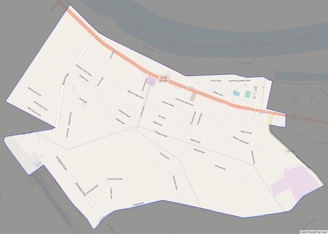
Minorca is an unincorporated community and census-designated place (CDP) in Concordia Parish, Louisiana, United States. As of the 2010 census it had a population of 2,317. It is located in northeastern Concordia Parish, bordered on the east by the city of Vidalia. U.S. Routes 84 and 425 pass through the northern part of the CDP, ... Read more
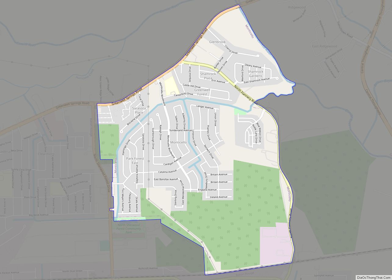
Monticello is a census-designated place (CDP) in East Baton Rouge Parish, Louisiana, United States. The population was 5,172 at the 2010 census, up from 4,763 in 2000. It is part of the Baton Rouge Metropolitan Statistical Area. Monticello CDP overview: Name: Monticello CDP LSAD Code: 57 LSAD Description: CDP (suffix) State: Louisiana County: East Baton ... Read more
Montgomery is a town in the far northwestern portion of Grant Parish, which is located in north-central Louisiana, United States. The population of Montgomery was 726 at the 2010 census. The town has a poverty rate of 37 percent and a median household income of just under $22,000. The median age is just under forty; ... Read more
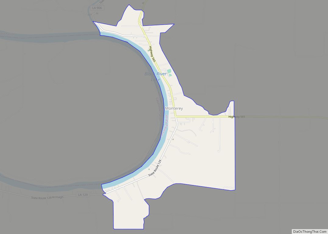
Monterey is an unincorporated community and census-designated place (CDP) in Concordia Parish, Louisiana, United States. As of the 2010 census it had a population of 439. The community is located near the junction of Louisiana Highways 129 and 565 in west central Concordia Parish, southwest of Ferriday. It is also part of the Natchez, MS–LA ... Read more
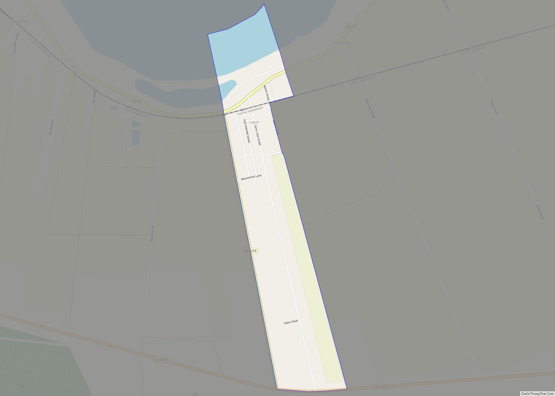
Moonshine is an unincorporated community and census-designated place in St. James Parish, Louisiana, United States. Its population was 194 as of the 2010 census. The community is located on the west bank of the Mississippi River. Moonshine CDP overview: Name: Moonshine CDP LSAD Code: 57 LSAD Description: CDP (suffix) State: Louisiana County: St. James Parish ... Read more
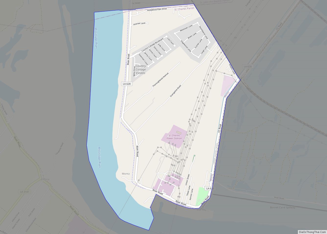
Montz is a census-designated place (CDP) in St. Charles Parish, Louisiana, United States. The population was 1,120 at the 2000 census, and 2,106 at the 2020 census. Montz CDP overview: Name: Montz CDP LSAD Code: 57 LSAD Description: CDP (suffix) State: Louisiana County: St. Charles Parish Elevation: 16 ft (5 m) Total Area: 2.82 sq mi (7.29 km²) Land Area: ... Read more
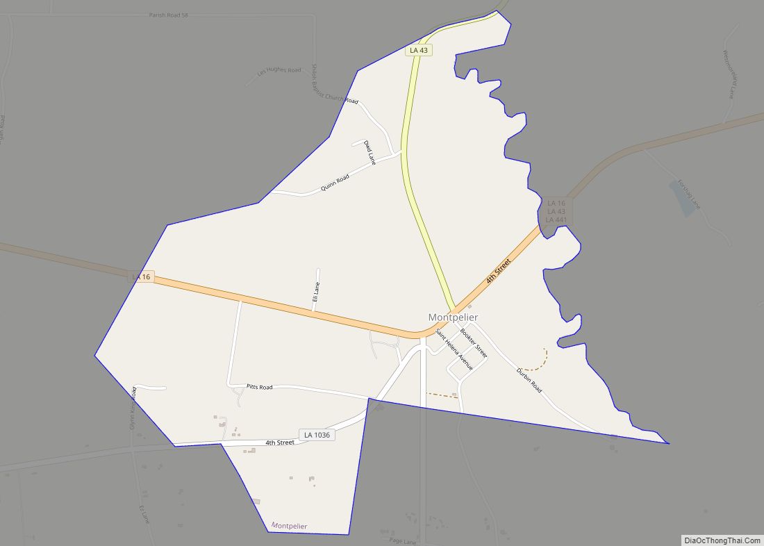
Montpelier is a village in St. Helena Parish, Louisiana, United States. The population was 286 at the 2010 census. It is part of the Baton Rouge Metropolitan Statistical Area. Montpelier was the parish seat from 1812-1832. Montpelier village overview: Name: Montpelier village LSAD Code: 47 LSAD Description: village (suffix) State: Louisiana County: St. Helena Parish ... Read more
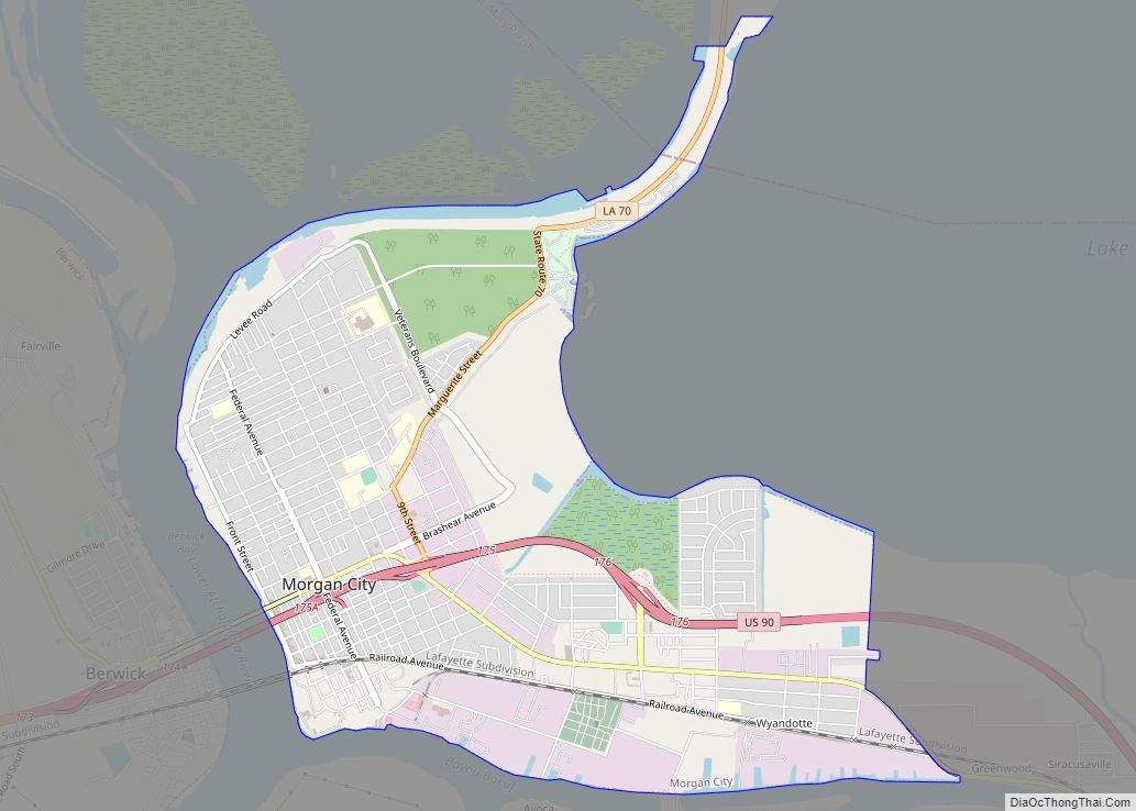
Morgan City is a small city in St. Mary and lower St. Martin parishes in the U.S. State of Louisiana in the Acadiana region. The population was 12,404 at the 2010 census. Known for being “right in the middle of everywhere”, Morgan City is located 68 miles (109 km) southeast of Lafayette, 64 miles (103 km) south ... Read more
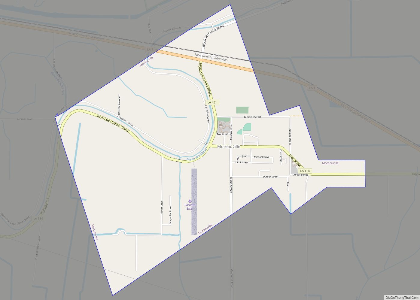
Moreauville is a village in Avoyelles Parish, Louisiana, United States. The population was 929 at the 2010 census. Moreauville village overview: Name: Moreauville village LSAD Code: 47 LSAD Description: village (suffix) State: Louisiana County: Avoyelles Parish Elevation: 56 ft (17 m) Total Area: 3.03 sq mi (7.84 km²) Land Area: 3.03 sq mi (7.84 km²) Water Area: 0.00 sq mi (0.00 km²) Total Population: 984 Population ... Read more
