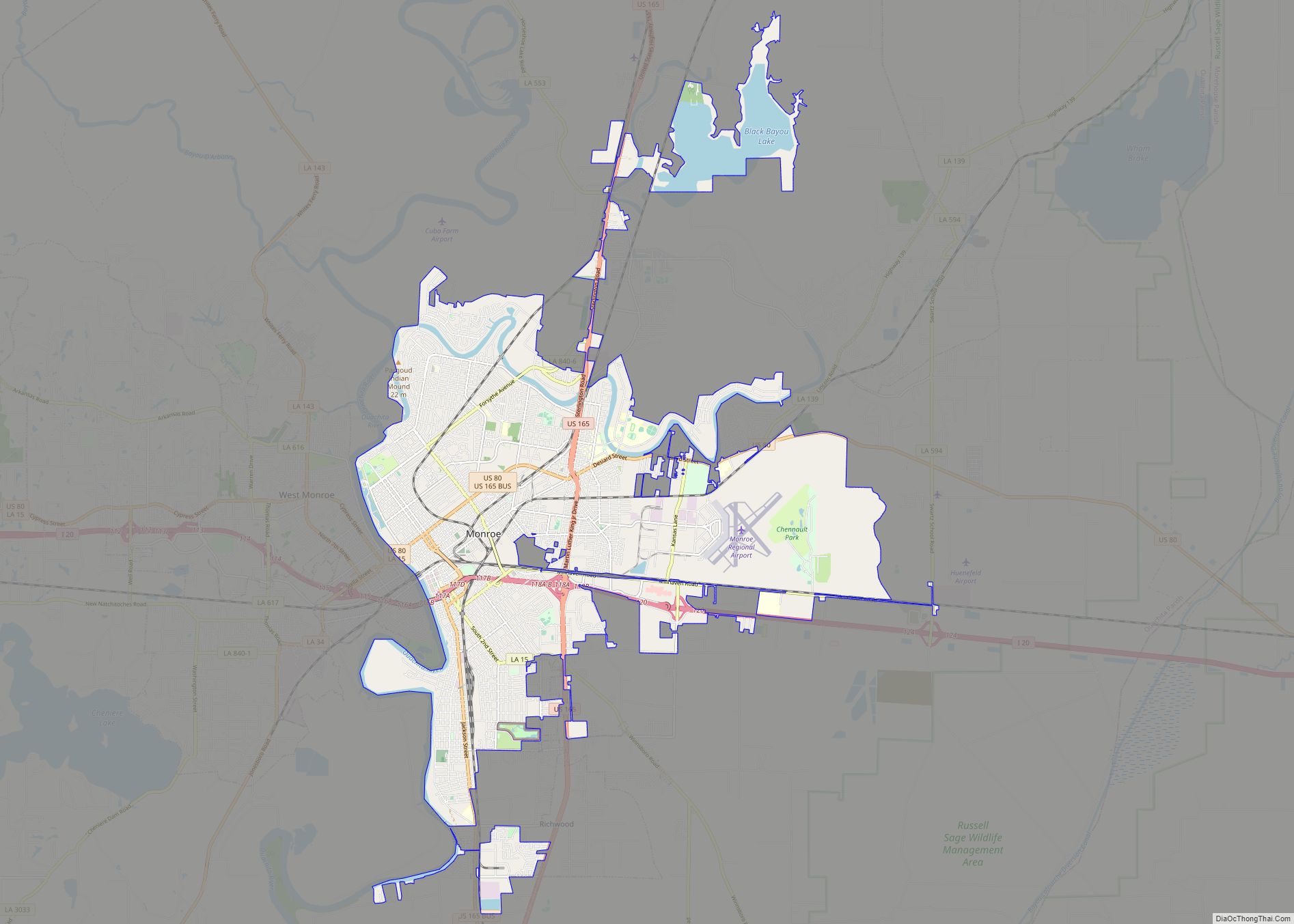
Monroe (historically French: Poste-du-Ouachita) is the eighth-largest city in the U.S. state of Louisiana, and parish seat of Ouachita Parish. With a 2020 census-tabulated population of 47,702, it is the principal city of the Monroe metropolitan statistical area, the second-largest metropolitan area in North Louisiana.
| Name: | Monroe city |
|---|---|
| LSAD Code: | 25 |
| LSAD Description: | city (suffix) |
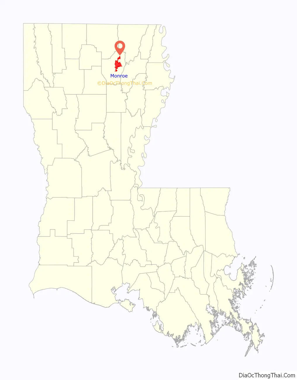
| State: | Louisiana |
| County: | Ouachita Parish |
| Elevation: | 72 ft (22 m) |
| Land Area: | 29.66 sq mi (76.80 km²) |
| Water Area: | 3.25 sq mi (8.42 km²) |
| Population Density: | 1,608.57/sq mi (621.08/km²) |
| FIPS code: | 2251410 |
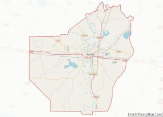
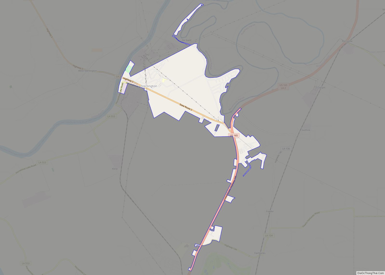
Online Interactive Map
Click on ![]() to view map in "full screen" mode.
to view map in "full screen" mode.
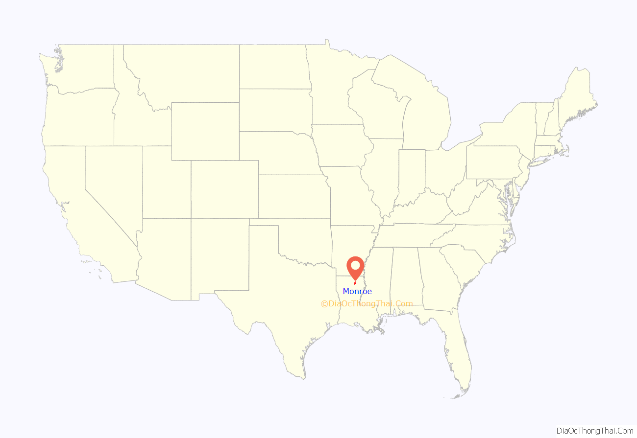
Monroe location map. Where is Monroe city?
History
Early history–late 20th century
Monroe’s origins date back to the Spanish colonial period.
Fort Miro changed its name to Monroe to commemorate the first arrival of the steamboat James Monroe in the spring of 1820 (see “Etymology” above).
In 1913, Joseph A. Biedenharn, the first bottler of Coca-Cola, moved to Monroe from Vicksburg, Mississippi. Biedenharn and his son Malcolm were among the founders of Delta Air Lines, originally Delta Dusters. That company was founded in Tallulah, Louisiana in Madison Parish. It was based on products and processes developed by the Agriculture Experimental Station to dust crops from airplanes in order to combat the boll weevil, which was destroying cotton crops. Biedenharn’s home and gardens have been preserved and are now operated as the Biedenharn Museum and Gardens and are open to the public.
Collett E. Woolman, the Ouachita Parish agent, was originally from Indiana. He pioneered crop dusting to eradicate the boll weevil, which destroyed cotton throughout the Mississippi Delta in the early 20th century. Woolman originated the first crop-dusting service in the world. The collapse of cotton production meant a widespread loss of farm jobs, which contributed to the early-20th-century Great Migration, when a total of 1.5 million African-Americans left the rural South for jobs in northern and midwestern cities. They were also escaping the oppressive racial conditions and violence under Jim Crow and the disenfranchisement that excluded most blacks from the political system. Howard D. Griffin (1911-1986) purchased a boat dealership in 1936 while a student at what became the University of Louisiana Monroe. By the 1960s, Griffin’s company had become the world’s largest outboard motor dealership, and he also sold motorcycles. From 1955 to 1985, Griffin and his wife, Birdie M. Griffin (1915-1985), operated their seasonal Land O’ Toys store in Monroe.
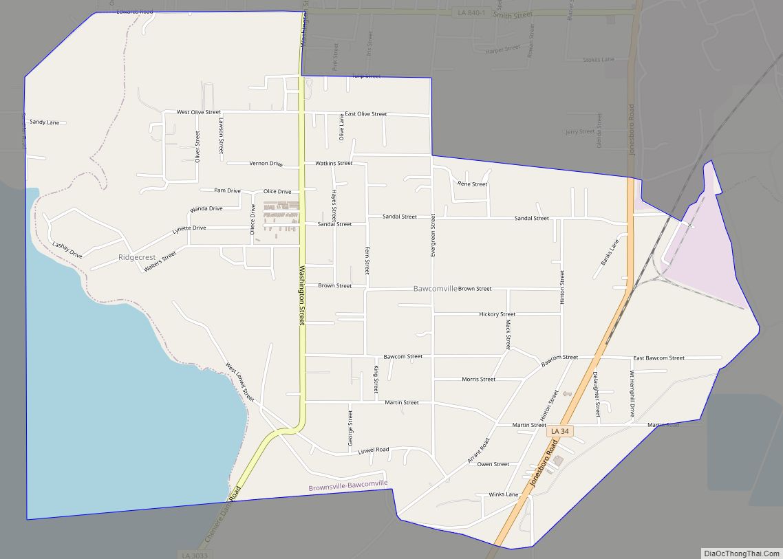
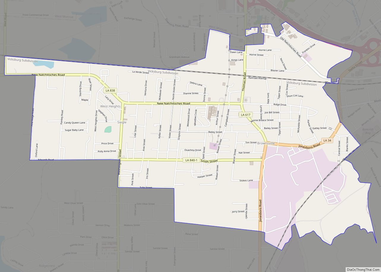
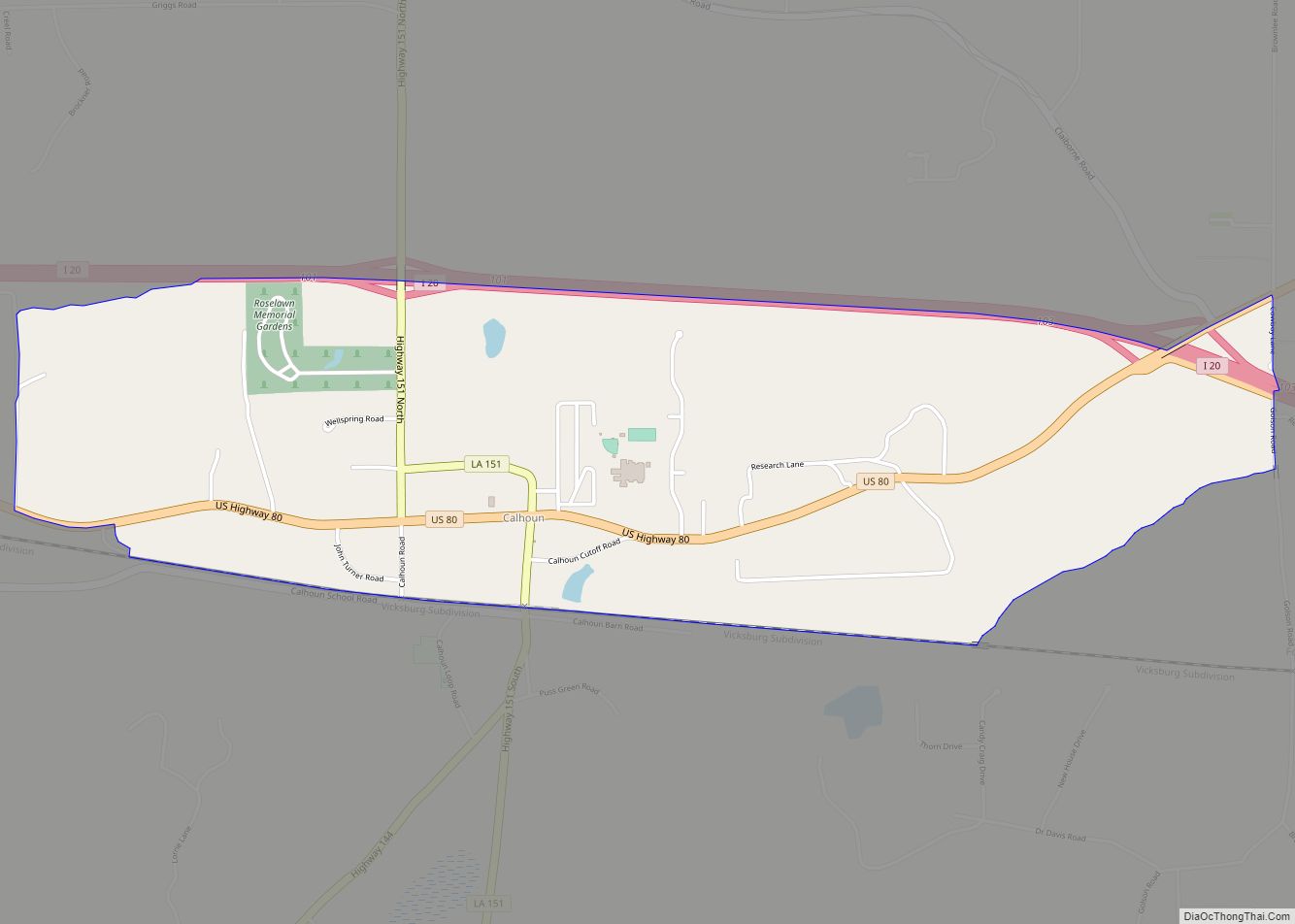
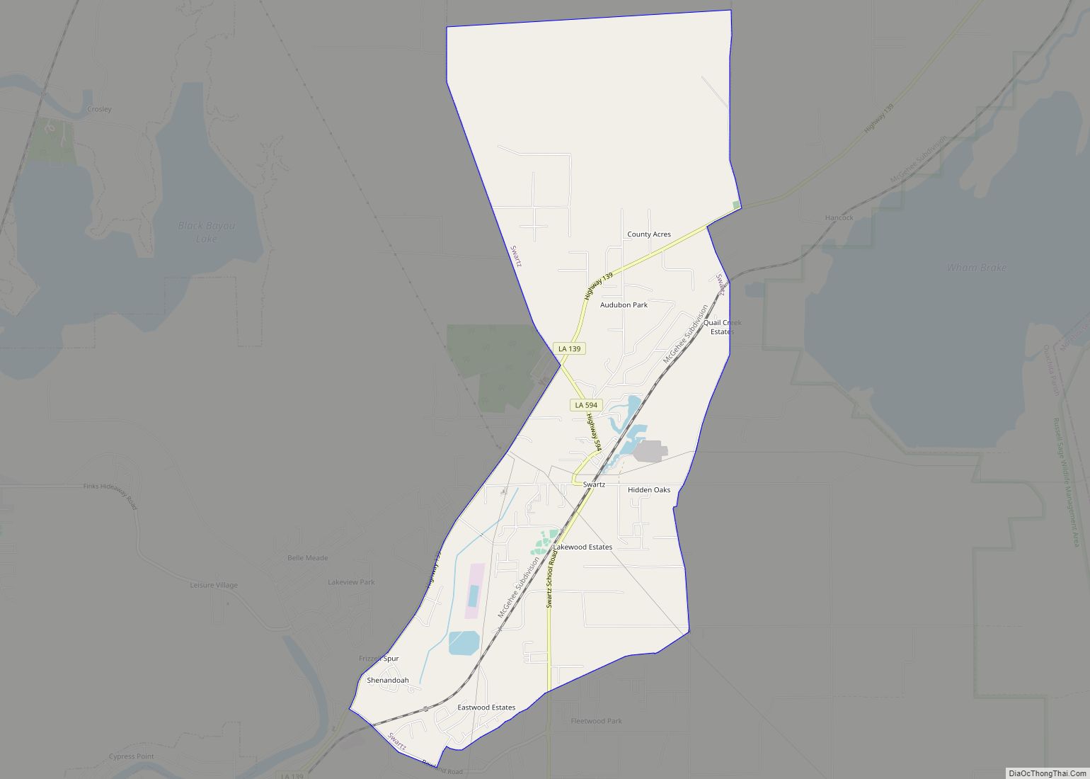
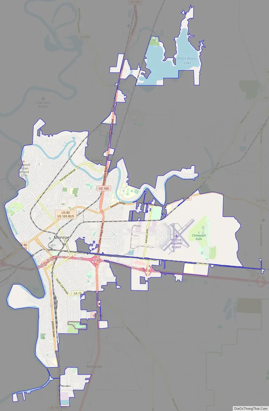
Monroe Road Map
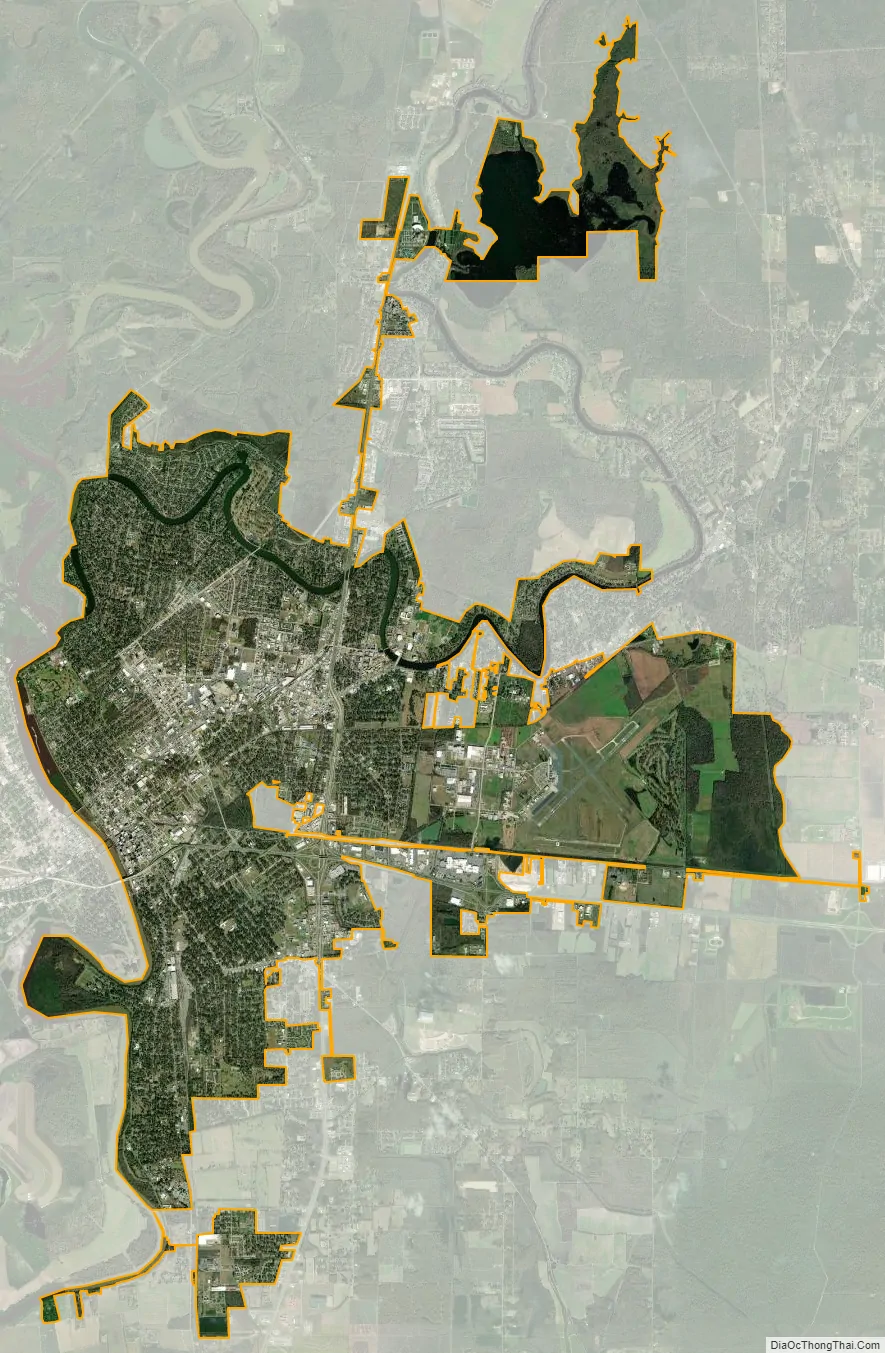
Monroe city Satellite Map
Geography
Located in northeastern Louisiana, Monroe is the center of the Monroe metropolitan statistical area. It is the parish seat of Ouachita Parish, and northeastern Louisiana’s economic and cultural hub. Monroe has an elevation of 72 feet (21.9 m) above sea level. According to the United States Census Bureau, the city has a total area of 31.6 square miles (83.9 km), of which, 28.7 square miles (74.3 km) of it is land and 3.7 square miles (9.6 km) of it is water. The total area is 11.46% water.
Climate
Monroe has a humid subtropical climate (Köppen climate classification Cfa). Rainfall is abundant, with the normal annual precipitation averaging over 51 inches (1.3 m). Monthly averages range from less than 3 inches (76 mm) in August to more than 5 inches (130 mm) in June. Severe thunderstorms with heavy rain, hail, damaging winds and tornadoes occur in the area during the spring and summer months.
The winter months are normally mild, with an average of 35 days of freezing or below-freezing temperatures per year, with ice and sleet storms possible. Summer months are hot and humid, with maximum temperatures exceeding 90 degrees an average of 91 days per year, with high to very high relative average humidity, sometimes exceeding the 90 percent level.
Notable natural disasters
In March 2016, rainfall amounts ranging between 15 and 20 inches fell area-wide over 3 days, more than any 3-day period ever previously recorded. In Ouachita Parish alone, there were 9,500 homes with flood damage, and 5,400 were completely flooded. More than 1,700 high-water rescues were performed.
As part of the 2020 Easter tornado outbreak, on April 12, the community was struck by a low-end EF3 tornado. Damage was severe, but there were no deaths or injuries due to advance warnings.
See also
Map of Louisiana State and its subdivision:- Acadia
- Allen
- Ascension
- Assumption
- Avoyelles
- Beauregard
- Bienville
- Bossier
- Caddo
- Calcasieu
- Caldwell
- Cameron
- Catahoula
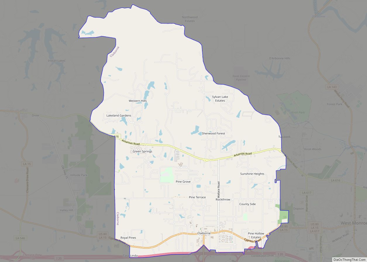
- Claiborne
- Concordia
- De Soto
- East Baton Rouge
- East Carroll
- East Feliciana
- Evangeline
- Franklin
- Grant
- Iberia
- Iberville
- Jackson
- Jefferson
- Jefferson Davis
- La Salle
- Lafayette
- Lafourche
- Lincoln
- Livingston
- Madison
- Morehouse
- Natchitoches
- Orleans
- Ouachita
- Plaquemines
- Pointe Coupee
- Rapides
- Red River
- Richland
- Sabine
- Saint Bernard
- Saint Charles
- Saint Helena
- Saint James
- Saint John the Baptist
- Saint Landry
- Saint Martin
- Saint Mary
- Saint Tammany
- Tangipahoa
- Tensas
- Terrebonne
- Union
- Vermilion
- Vernon
- Washington
- Webster
- West Baton Rouge
- West Carroll
- West Feliciana
- Winn
- Alabama
- Alaska
- Arizona
- Arkansas
- California
- Colorado
- Connecticut
- Delaware
- District of Columbia
- Florida
- Georgia
- Hawaii
- Idaho
- Illinois
- Indiana
- Iowa
- Kansas
- Kentucky
- Louisiana
- Maine
- Maryland
- Massachusetts
- Michigan
- Minnesota
- Mississippi
- Missouri
- Montana
- Nebraska
- Nevada
- New Hampshire
- New Jersey
- New Mexico
- New York
- North Carolina
- North Dakota
- Ohio
- Oklahoma
- Oregon
- Pennsylvania
- Rhode Island
- South Carolina
- South Dakota
- Tennessee
- Texas
- Utah
- Vermont
- Virginia
- Washington
- West Virginia
- Wisconsin
- Wyoming