Morgan City is a small city in St. Mary and lower St. Martin parishes in the U.S. State of Louisiana in the Acadiana region. The population was 12,404 at the 2010 census. Known for being “right in the middle of everywhere”, Morgan City is located 68 miles (109 km) southeast of Lafayette, 64 miles (103 km) south of Baton Rouge, and 86 miles (138 km) west of New Orleans
Morgan City sits on the banks of the Atchafalaya River. The town was originally named “Tiger Island” by surveyors appointed by U.S. Secretary of War John Calhoun, because of a particular type of wild cat seen in the area. It was later changed for a time to “Brashear City,” named after Walter Brashear, a prominent Kentucky physician who had purchased large tracts of land and acquired numerous sugar mills in the area. It was incorporated in 1860.
| Name: | Morgan City city |
|---|---|
| LSAD Code: | 25 |
| LSAD Description: | city (suffix) |
| State: | Louisiana |
| County: | St. Martin Parish, St. Mary Parish |
| Elevation: | 7 ft (2 m) |
| Total Area: | 6.25 sq mi (16.19 km²) |
| Land Area: | 5.98 sq mi (15.50 km²) |
| Water Area: | 0.27 sq mi (0.69 km²) |
| Total Population: | 11,472 |
| Population Density: | 1,917.11/sq mi (740.19/km²) |
| ZIP code: | 70380 |
| Area code: | 985 |
| FIPS code: | 2252040 |
| Website: | www.cityofmc.com |
Online Interactive Map
Click on ![]() to view map in "full screen" mode.
to view map in "full screen" mode.
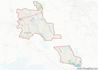
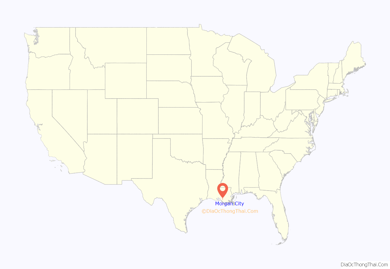
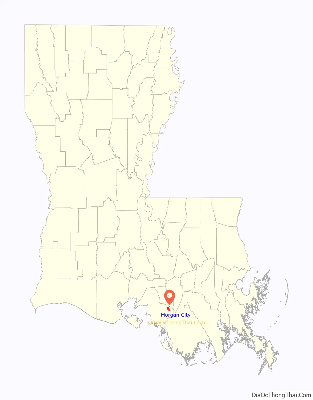
Morgan City location map. Where is Morgan City city?
History
Capture of Brashear City
During the American Civil War, the Star Fort of Fort Brashear was the larger of two works erected by the Union Army occupying the city to defend a Federal military depot and the town. During the Bayou Teche Campaign, on the night of June 22, 1863, 325 Confederates of Gen. A. A. Mouton’s command, led by Major Sherod Hunter, landed their skiffs and flats in the rear of the town. Attacking the next day, they surprised and captured the city, taking 1,300 Union prisoners, 11 heavy siege guns, 2,500 stands of rifles, immense quantities of quartermaster, commissary and ordnance stores. They also captured 2,000 African Americans, between 200 and 300 wagons and tents, all while suffering losses of only 3 killed, 18 wounded.
Morgan City
In 1876, the community’s name was changed to Morgan City in tribute to Charles Morgan, a rail and steamship magnate who first dredged the Atchafalaya Bay Ship Channel to accommodate ocean-going vessels.
On September 11, 1961, an F2 tornado struck the city, causing heavy damage to the city and injuring 16 people.
On October 28, 1985, Hurricane Juan (not to be confused with the 2003 storm of the same name) made landfall near Morgan City, flooding many parts of the city. The storm then looped offshore and came onshore again in Alabama.
On August 26, 1992, Hurricane Andrew came ashore 20 miles (32 km) to the southwest of Morgan City. Andrew was the second most destructive hurricane in U.S. history, crossing Florida and then regaining strength in the Gulf of Mexico before it struck Louisiana.
In 2019, Morgan City and the surrounding area were selected as a setting for the paranormal-themed reality TV show Ghosts of Morgan City, broadcast on the Travel Channel. On July 13, 2019 Hurricane Barry made landfall west of Morgan City as a Category 1 Hurricane on the Saffir Simpson Scale.
Agricultural
A type of Blackberry deemed the Youngberry was developed by B.M. Young in 1905 in Morgan City, as a hybrid between a variety of blackberries. The Youngberry is a cross between Luther Burbank’s Phenomenal Berry and the Austin-Mayes Dewberry, a trailing Blackberry. The Youngberry was introduced commercially in 1926 and quickly came to rival the Loganberry. The Youngberry had excellent qualities, such as taste and high yields and it soon replaced the Loganberry of California.
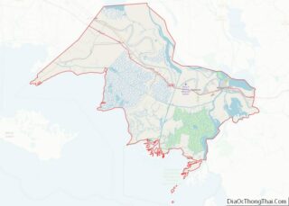
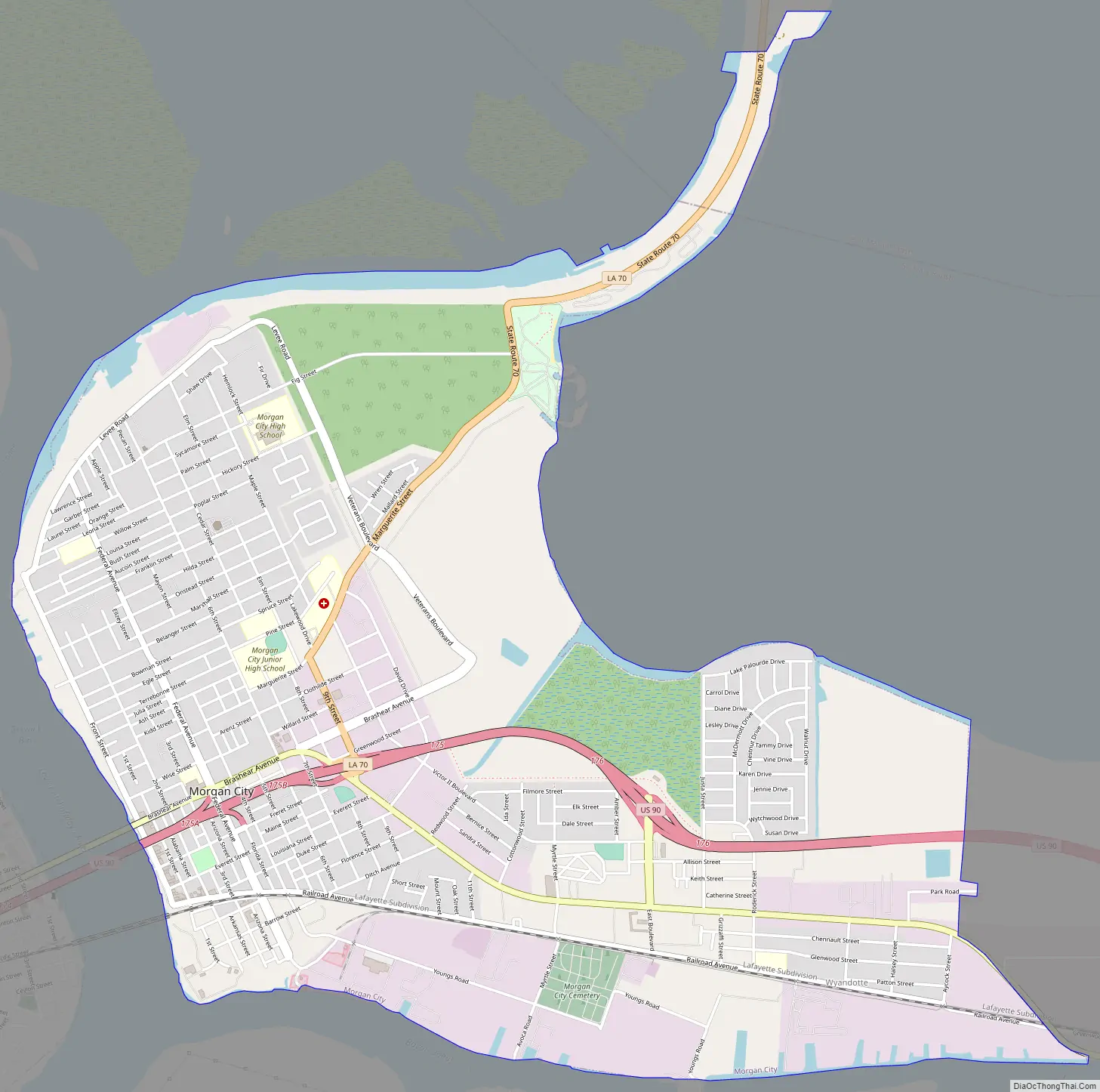
Morgan City Road Map
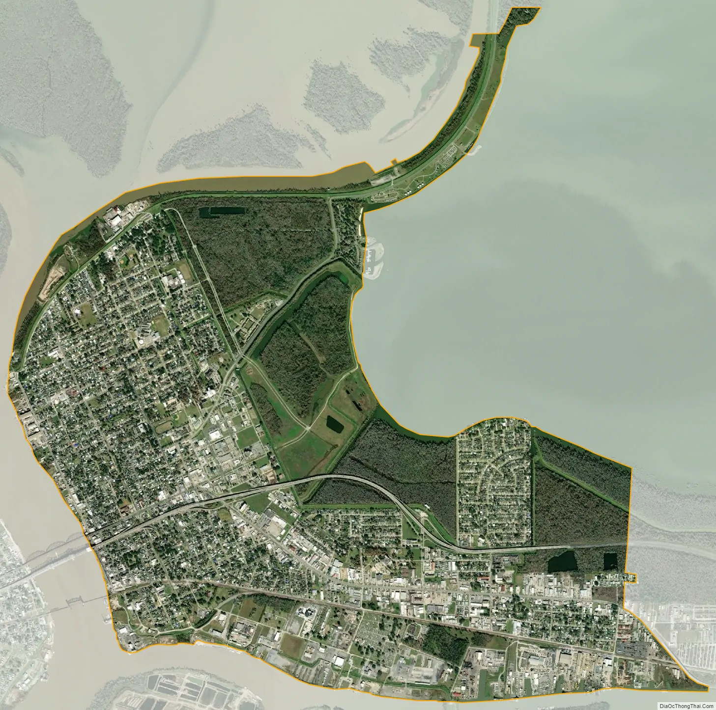
Morgan City city Satellite Map
Geography
According to the United States Census Bureau, the city has a total area of 6.2 square miles (16.1 km), of which 6.0 square miles (15.5 km) is land and 0.27 square miles (0.7 km), or 4.03%, is water.
The northeastern border of Morgan City is at the lower St. Martin Parish line via Louisiana Highway 70.
U.S. Highway 90 (future Interstate 49) and Louisiana Highway 182 both pass through the city, both heading west 70 miles (110 km) to Lafayette. U.S. 90 also heads east approximately 90 miles (140 km) to New Orleans, while passing in between the cities of Houma, which is located approximately 40 miles (64 km) southeast, and Thibodaux, which is located 32 miles (51 km) northeast of Morgan City. U.S. 90 is a freeway between Morgan City and the Houma area with the route planned to become a section of future Interstate 49.
Morgan City is served by the Harry P. Williams Memorial Airport, a general aviation airfield located near the U.S. 90 four lane highway in nearby Patterson, Louisiana.
If the Mississippi River were to experience a major course change in the vicinity of the Old River Control Structure or Morganza Spillway, the main channel of the river would likely then enter the Gulf of Mexico near Morgan City instead of New Orleans.
Climate
See also
Map of Louisiana State and its subdivision:- Acadia
- Allen
- Ascension
- Assumption
- Avoyelles
- Beauregard
- Bienville
- Bossier
- Caddo
- Calcasieu
- Caldwell
- Cameron
- Catahoula
- Claiborne
- Concordia
- De Soto
- East Baton Rouge
- East Carroll
- East Feliciana
- Evangeline
- Franklin
- Grant
- Iberia
- Iberville
- Jackson
- Jefferson
- Jefferson Davis
- La Salle
- Lafayette
- Lafourche
- Lincoln
- Livingston
- Madison
- Morehouse
- Natchitoches
- Orleans
- Ouachita
- Plaquemines
- Pointe Coupee
- Rapides
- Red River
- Richland
- Sabine
- Saint Bernard
- Saint Charles
- Saint Helena
- Saint James
- Saint John the Baptist
- Saint Landry
- Saint Martin
- Saint Mary
- Saint Tammany
- Tangipahoa
- Tensas
- Terrebonne
- Union
- Vermilion
- Vernon
- Washington
- Webster
- West Baton Rouge
- West Carroll
- West Feliciana
- Winn
- Alabama
- Alaska
- Arizona
- Arkansas
- California
- Colorado
- Connecticut
- Delaware
- District of Columbia
- Florida
- Georgia
- Hawaii
- Idaho
- Illinois
- Indiana
- Iowa
- Kansas
- Kentucky
- Louisiana
- Maine
- Maryland
- Massachusetts
- Michigan
- Minnesota
- Mississippi
- Missouri
- Montana
- Nebraska
- Nevada
- New Hampshire
- New Jersey
- New Mexico
- New York
- North Carolina
- North Dakota
- Ohio
- Oklahoma
- Oregon
- Pennsylvania
- Rhode Island
- South Carolina
- South Dakota
- Tennessee
- Texas
- Utah
- Vermont
- Virginia
- Washington
- West Virginia
- Wisconsin
- Wyoming