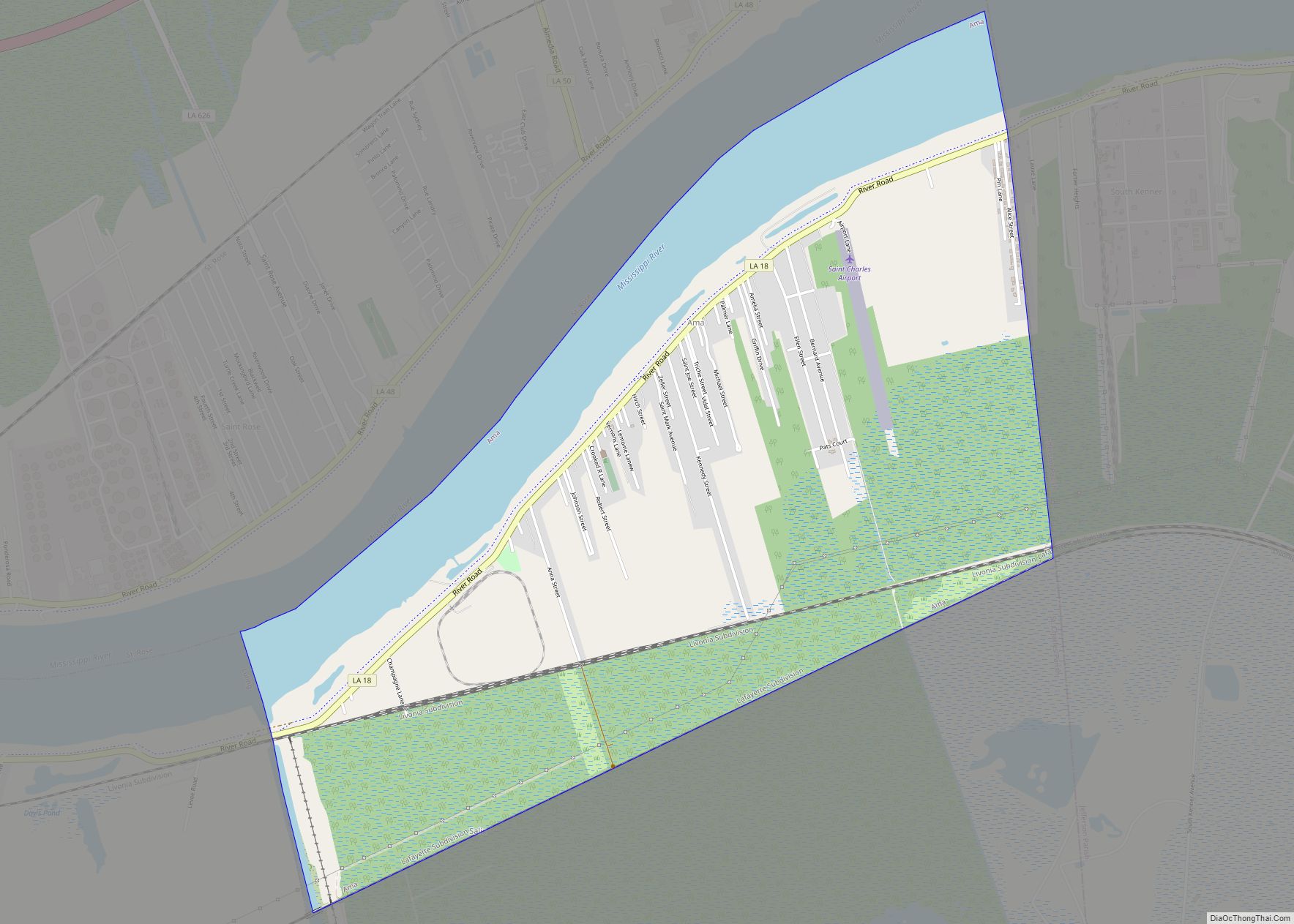
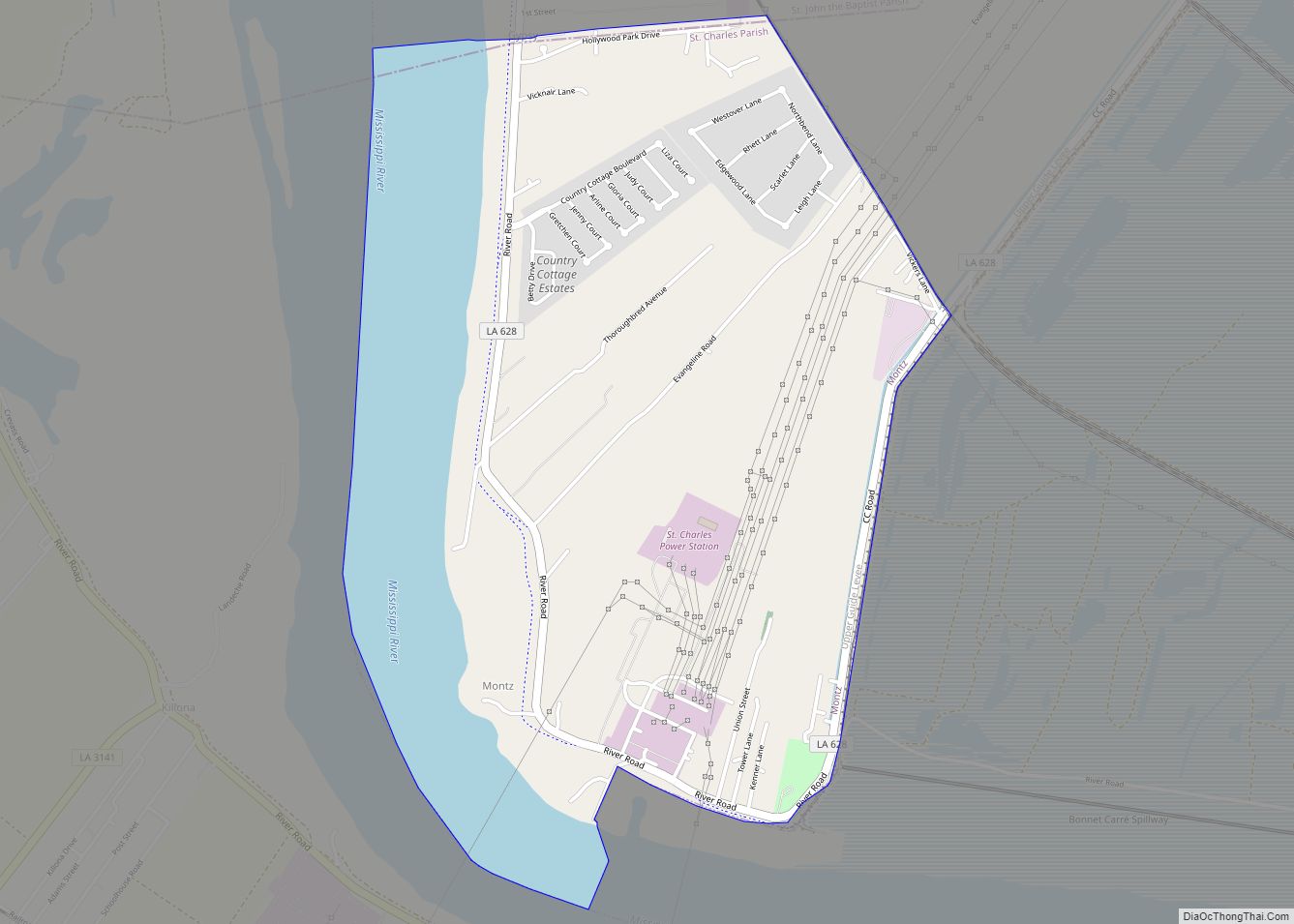
Montz is a census-designated place (CDP) in St. Charles Parish, Louisiana, United States. The population was 1,120 at the 2000 census, and 2,106 at the 2020 census.
| Name: | Montz CDP |
|---|---|
| LSAD Code: | 57 |
| LSAD Description: | CDP (suffix) |
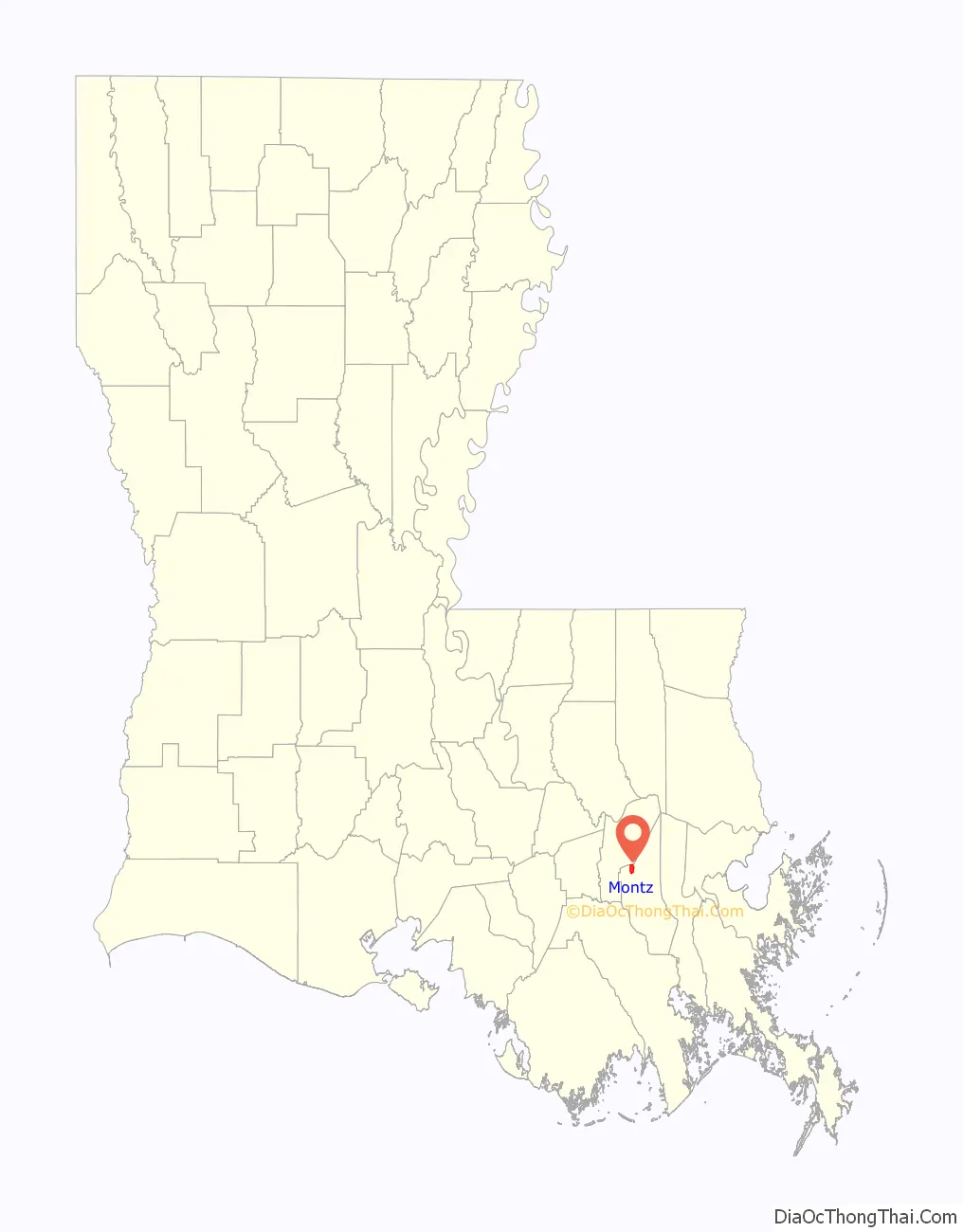
| State: | Louisiana |
| County: | St. Charles Parish |
| Elevation: | 16 ft (5 m) |
| Total Area: | 2.82 sq mi (7.29 km²) |
| Land Area: | 2.16 sq mi (5.59 km²) |
| Water Area: | 0.66 sq mi (1.70 km²) |
| Total Population: | 2,106 |
| Population Density: | 975.00/sq mi (376.46/km²) |
| Area code: | 985 |
| FIPS code: | 2251795 |
Online Interactive Map
Click on ![]() to view map in "full screen" mode.
to view map in "full screen" mode.
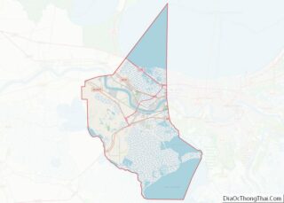
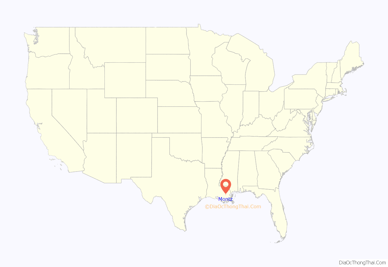
Montz location map. Where is Montz CDP?
History
The Bonnet Carré Crevasse occurred in and near the present-day location of Montz. It was one of several levee breaches in the Bonnet Carré area in the mid-to-late-1800s. Bonnet Carré was approximately 50 kilometers from New Orleans, Louisiana. The breach occurred when excess water from the Mississippi River flowed over the east bank levee of Bonnet Carré.
Montz is located between LaPlace, Louisiana and the Bonnet Carré Spillway. It was separated from the other municipalities and communities on the east bank of the Mississippi River in St. Charles Parish by the construction of the spillway, which was completed in 1931.
On December 14, 2022, the town was hit by a destructive and deadly EF2 tornado that damaged or destroyed numerous structures, killed one person, and injured eight others.
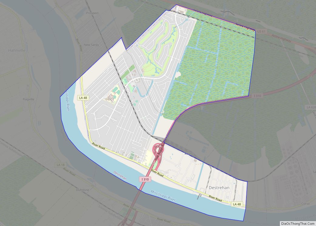
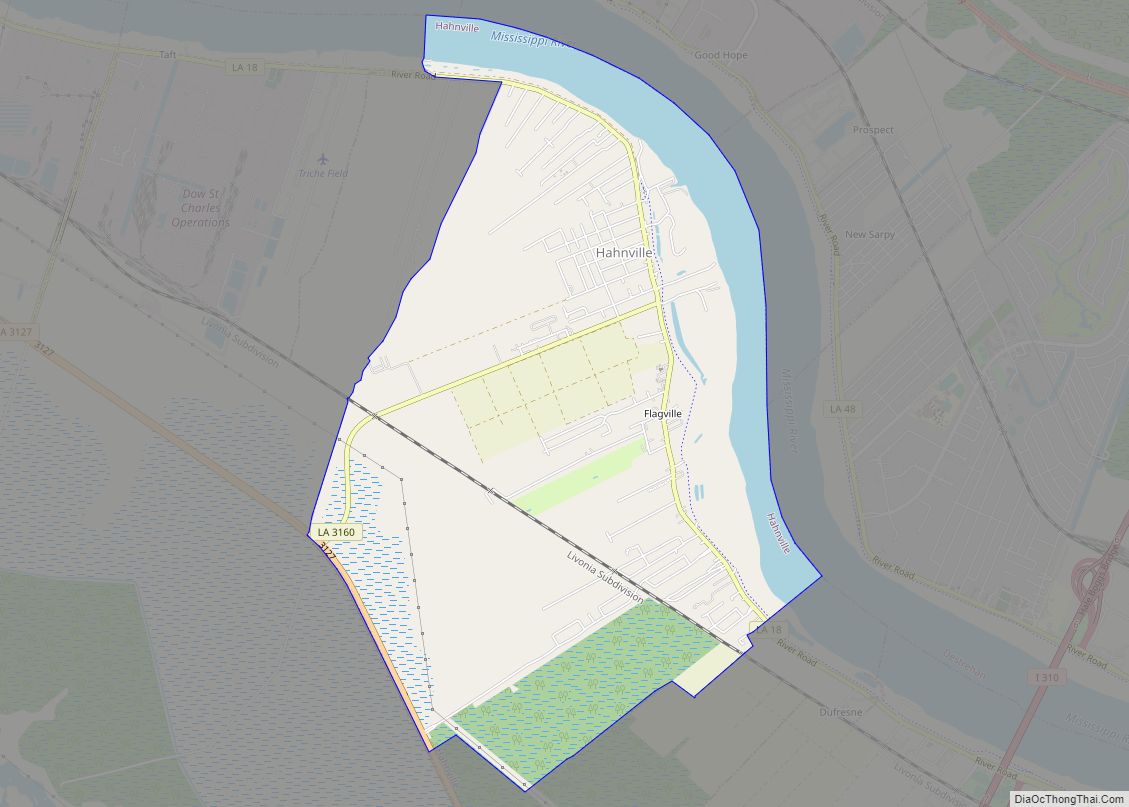
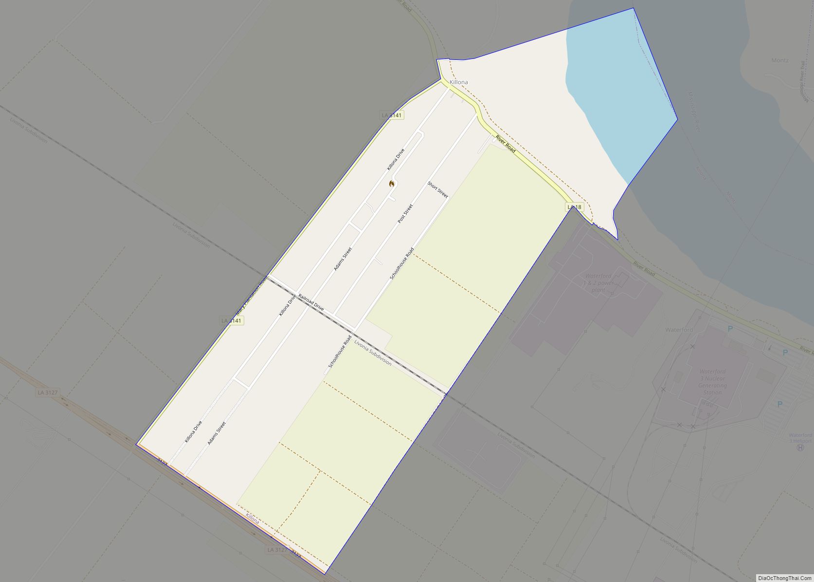
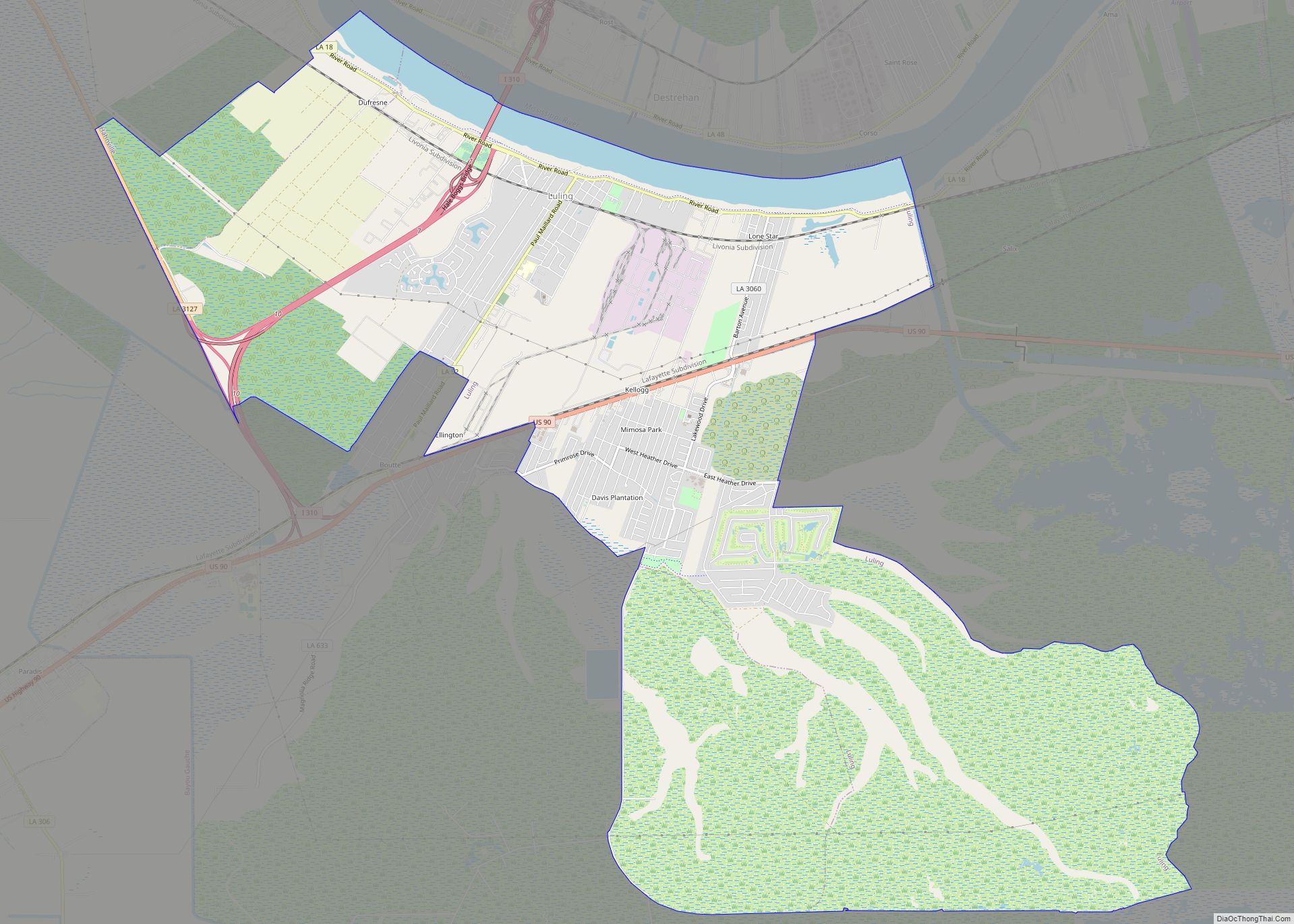
Montz Road Map
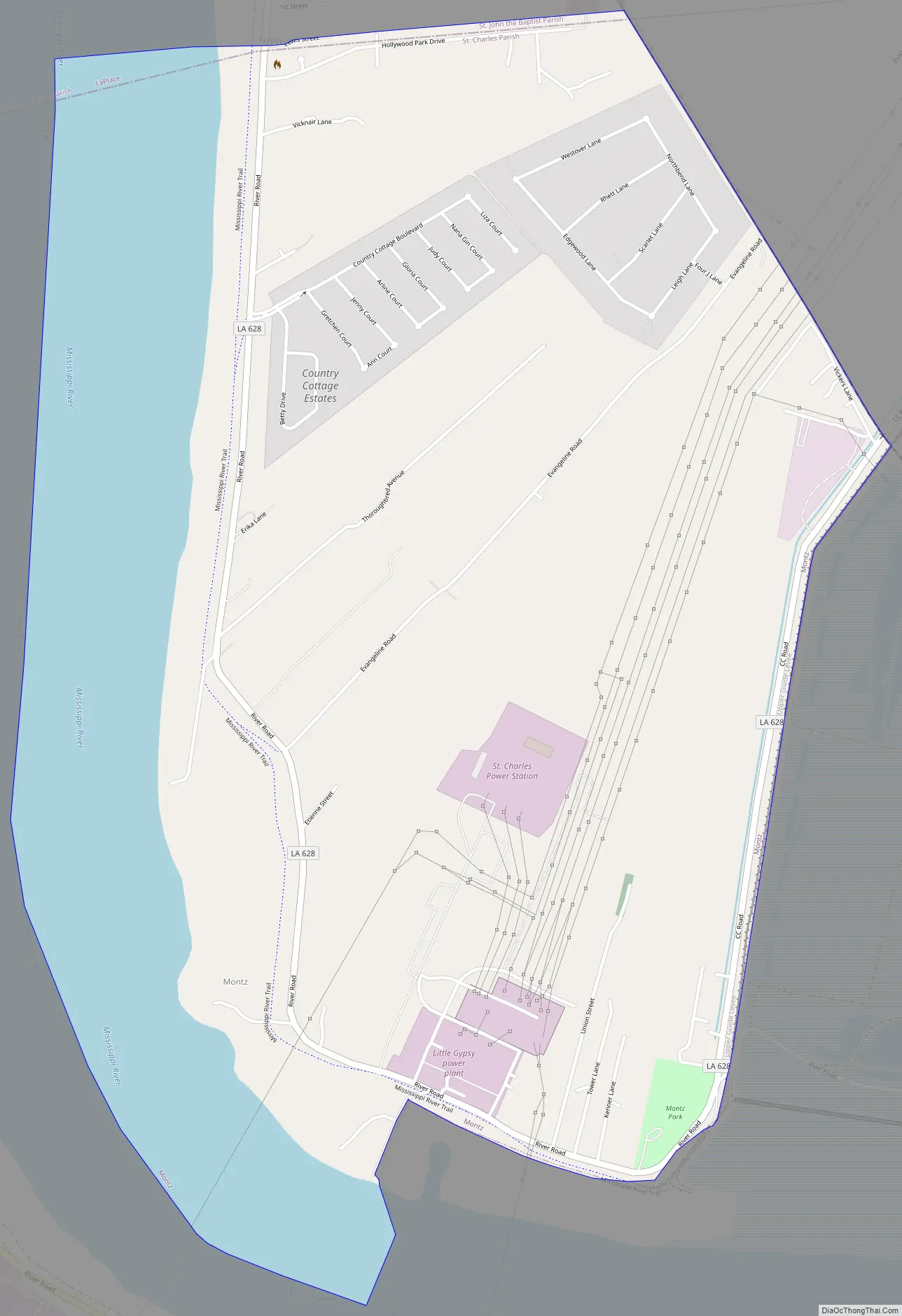
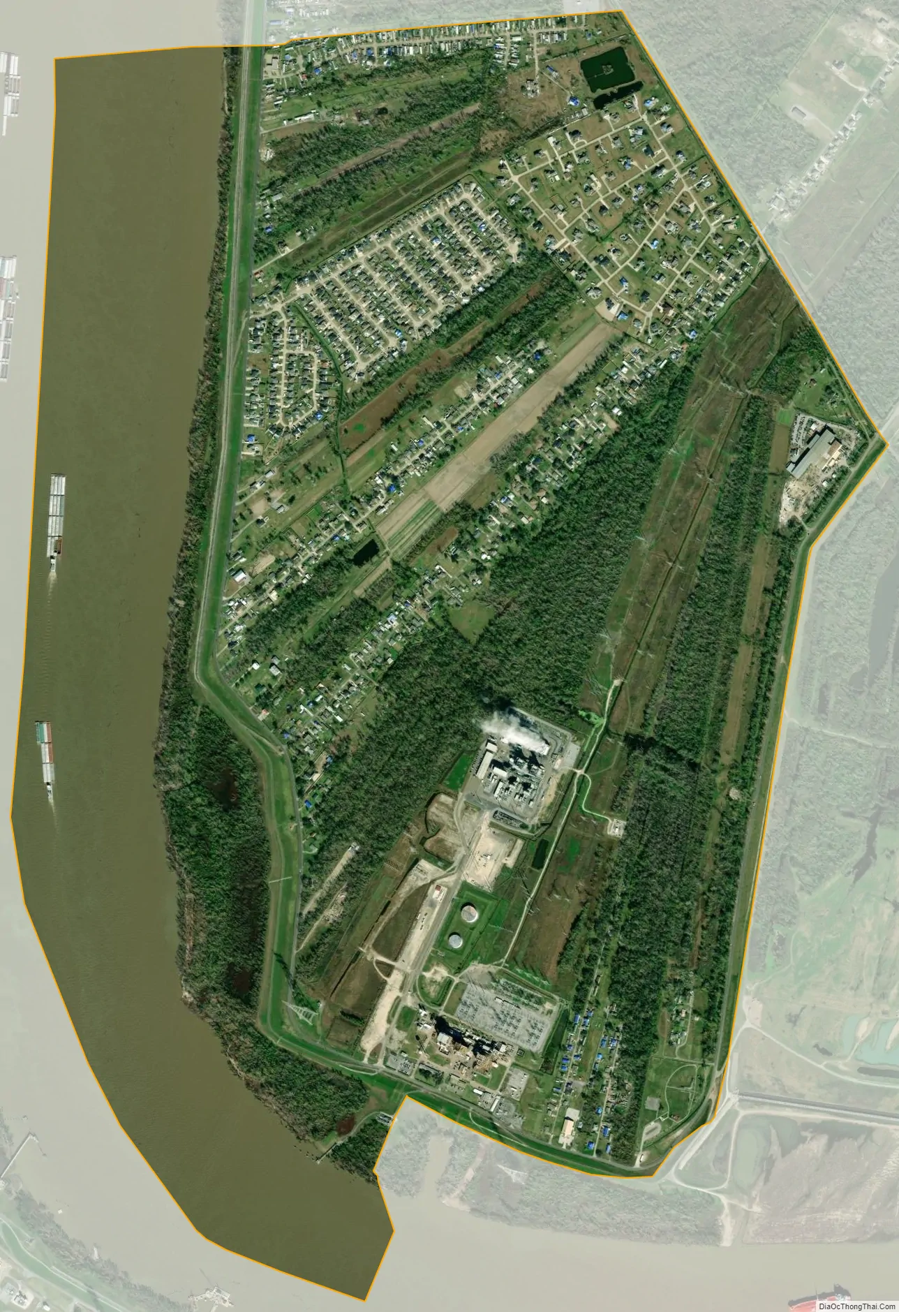
Montz city Satellite Map
Geography
Montz is located at 30°1′7″N 90°27′2″W / 30.01861°N 90.45056°W / 30.01861; -90.45056 (30.018513, -90.450683).
According to the United States Census Bureau, the CDP has a total area of 3.5 square miles (9.1 km), of which 2.8 square miles (7.3 km) is land and 0.7 square miles (1.8 km) (19.66%) is water.
See also
Map of Louisiana State and its subdivision:- Acadia
- Allen
- Ascension
- Assumption
- Avoyelles
- Beauregard
- Bienville
- Bossier
- Caddo
- Calcasieu
- Caldwell
- Cameron
- Catahoula
- Claiborne
- Concordia
- De Soto
- East Baton Rouge
- East Carroll
- East Feliciana
- Evangeline
- Franklin
- Grant
- Iberia
- Iberville
- Jackson
- Jefferson
- Jefferson Davis
- La Salle
- Lafayette
- Lafourche
- Lincoln
- Livingston
- Madison
- Morehouse
- Natchitoches
- Orleans
- Ouachita
- Plaquemines
- Pointe Coupee
- Rapides
- Red River
- Richland
- Sabine
- Saint Bernard
- Saint Charles
- Saint Helena
- Saint James
- Saint John the Baptist
- Saint Landry
- Saint Martin
- Saint Mary
- Saint Tammany
- Tangipahoa
- Tensas
- Terrebonne
- Union
- Vermilion
- Vernon
- Washington
- Webster
- West Baton Rouge
- West Carroll
- West Feliciana
- Winn
- Alabama
- Alaska
- Arizona
- Arkansas
- California
- Colorado
- Connecticut
- Delaware
- District of Columbia
- Florida
- Georgia
- Hawaii
- Idaho
- Illinois
- Indiana
- Iowa
- Kansas
- Kentucky
- Louisiana
- Maine
- Maryland
- Massachusetts
- Michigan
- Minnesota
- Mississippi
- Missouri
- Montana
- Nebraska
- Nevada
- New Hampshire
- New Jersey
- New Mexico
- New York
- North Carolina
- North Dakota
- Ohio
- Oklahoma
- Oregon
- Pennsylvania
- Rhode Island
- South Carolina
- South Dakota
- Tennessee
- Texas
- Utah
- Vermont
- Virginia
- Washington
- West Virginia
- Wisconsin
- Wyoming