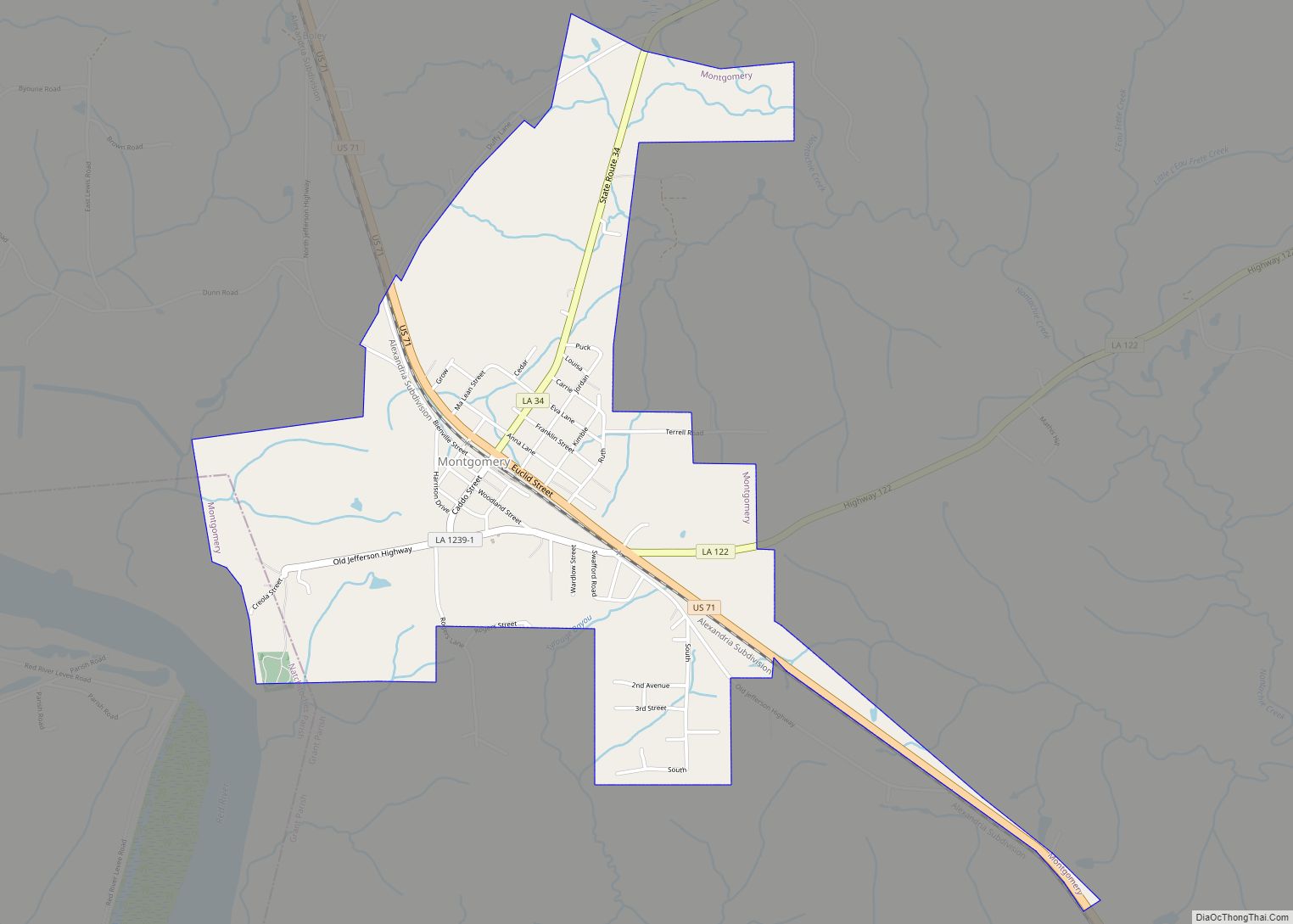
Montgomery is a town in the far northwestern portion of Grant Parish, which is located in north-central Louisiana, United States. The population of Montgomery was 726 at the 2010 census. The town has a poverty rate of 37 percent and a median household income of just under $22,000. The median age is just under forty; the population in 2010 was 78 percent white.
Montgomery is part of the Alexandria Metropolitan Statistical Area though it is forty miles north of Alexandria. Founded in 1712, even before New Orleans, Montgomery is situated on U.S. Route 71, close to the boundary with Natchitoches and Winn parishes. It is located on the eastern bank of the Red River.
| Name: | Montgomery town |
|---|---|
| LSAD Code: | 43 |
| LSAD Description: | town (suffix) |
| State: | Louisiana |
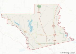
| County: | Grant Parish |
| Elevation: | 154 ft (47 m) |
| Total Area: | 2.07 sq mi (5.36 km²) |
| Land Area: | 2.07 sq mi (5.35 km²) |
| Water Area: | 0.00 sq mi (0.01 km²) |
| Total Population: | 622 |
| Population Density: | 301.06/sq mi (116.23/km²) |
| ZIP code: | 71454 |
| Area code: | 318 |
| FIPS code: | 2251620 |
Online Interactive Map
Click on ![]() to view map in "full screen" mode.
to view map in "full screen" mode.
Montgomery location map. Where is Montgomery town?


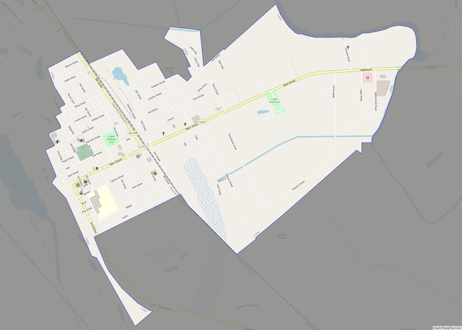
Montgomery Road Map

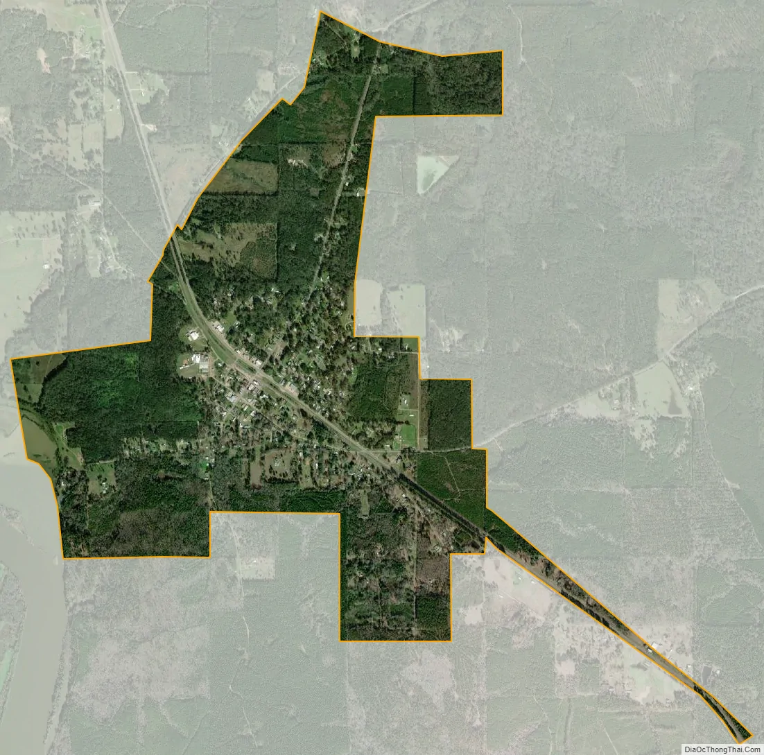
Montgomery city Satellite Map
Geography
Montgomery is located at 31°39′58″N 92°53′12″W / 31.66611°N 92.88667°W / 31.66611; -92.88667 (31.666001, -92.886539) and has an elevation of 154 feet (46.9 m).
According to the United States Census Bureau, the town has a total area of 2.1 square miles (5.4 km), all land.
See also
Map of Louisiana State and its subdivision:- Acadia
- Allen
- Ascension
- Assumption
- Avoyelles
- Beauregard
- Bienville
- Bossier
- Caddo
- Calcasieu
- Caldwell
- Cameron
- Catahoula
- Claiborne
- Concordia
- De Soto
- East Baton Rouge
- East Carroll
- East Feliciana
- Evangeline
- Franklin
- Grant
- Iberia
- Iberville
- Jackson
- Jefferson
- Jefferson Davis
- La Salle
- Lafayette
- Lafourche
- Lincoln
- Livingston
- Madison
- Morehouse
- Natchitoches
- Orleans
- Ouachita
- Plaquemines
- Pointe Coupee
- Rapides
- Red River
- Richland
- Sabine
- Saint Bernard
- Saint Charles
- Saint Helena
- Saint James
- Saint John the Baptist
- Saint Landry
- Saint Martin
- Saint Mary
- Saint Tammany
- Tangipahoa
- Tensas
- Terrebonne
- Union
- Vermilion
- Vernon
- Washington
- Webster
- West Baton Rouge
- West Carroll
- West Feliciana
- Winn
- Alabama
- Alaska
- Arizona
- Arkansas
- California
- Colorado
- Connecticut
- Delaware
- District of Columbia
- Florida
- Georgia
- Hawaii
- Idaho
- Illinois
- Indiana
- Iowa
- Kansas
- Kentucky
- Louisiana
- Maine
- Maryland
- Massachusetts
- Michigan
- Minnesota
- Mississippi
- Missouri
- Montana
- Nebraska
- Nevada
- New Hampshire
- New Jersey
- New Mexico
- New York
- North Carolina
- North Dakota
- Ohio
- Oklahoma
- Oregon
- Pennsylvania
- Rhode Island
- South Carolina
- South Dakota
- Tennessee
- Texas
- Utah
- Vermont
- Virginia
- Washington
- West Virginia
- Wisconsin
- Wyoming