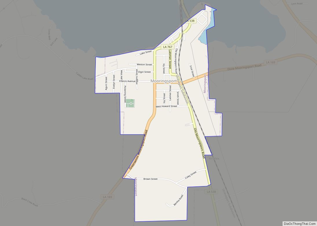
Mooringsport is an incorporated municipality in the U.S. state of Louisiana, located in Caddo Parish. Part of the Shreveport–Bossier City metropolitan area and located approximately 18 miles (29 km) outside of the principal city of Shreveport, the town of Mooringsport had a population of 748 at the 2020 U.S. census. Mooringsport town overview: Name: Mooringsport town ... Read more
Louisiana Cities and Places
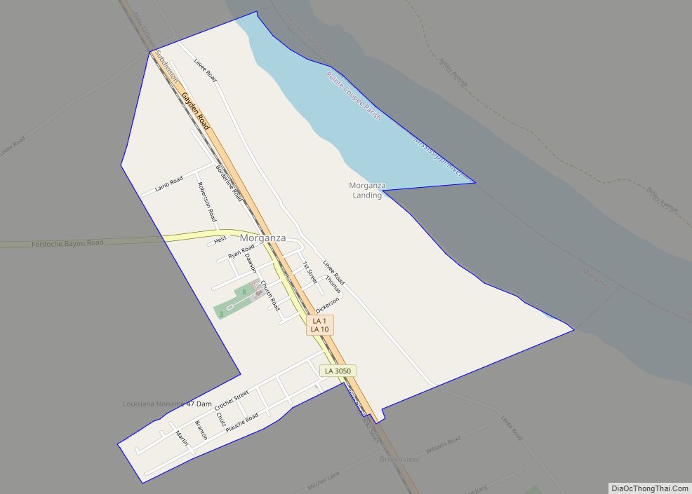
Morganza is an incorporated village near the Mississippi River in Pointe Coupee Parish, Louisiana, United States. The population was 610 at the 2010 census, down from 659 in 2000. It is part of the Baton Rouge Metropolitan Statistical Area. The village’s zip code is 70759. The Morganza Spillway, a flood control structure between the Mississippi ... Read more
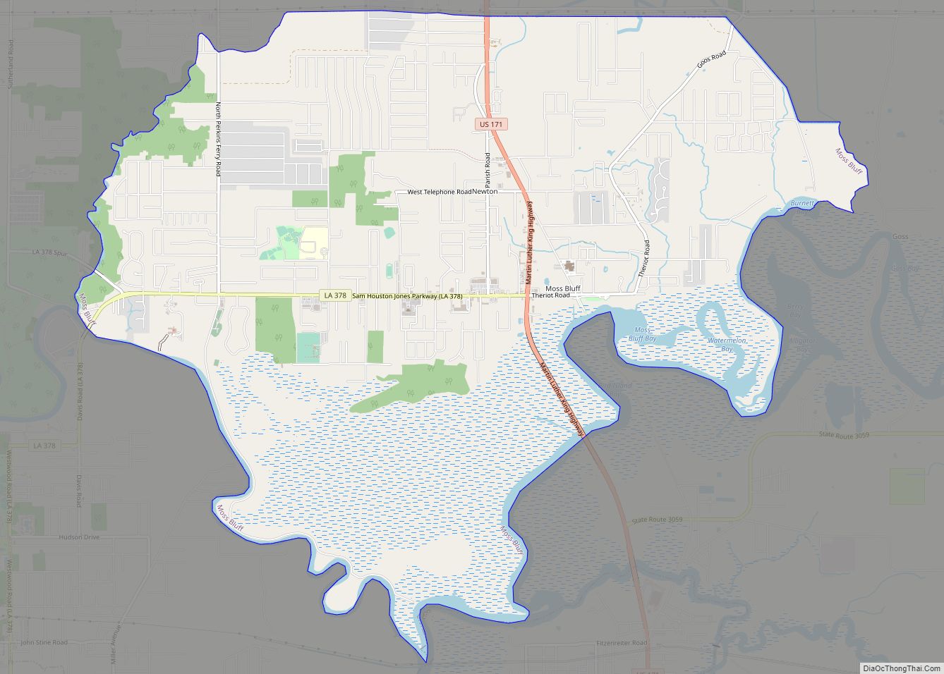
Moss Bluff is a census-designated place (CDP) in Calcasieu Parish, Louisiana, United States. The population was 12,522 at the 2020 census. Located just north of the city of Lake Charles, it is considered a suburb of that city. Moss Bluff is a burgeoning community, and is one of the communities in Calcasieu Parish besides Lake ... Read more
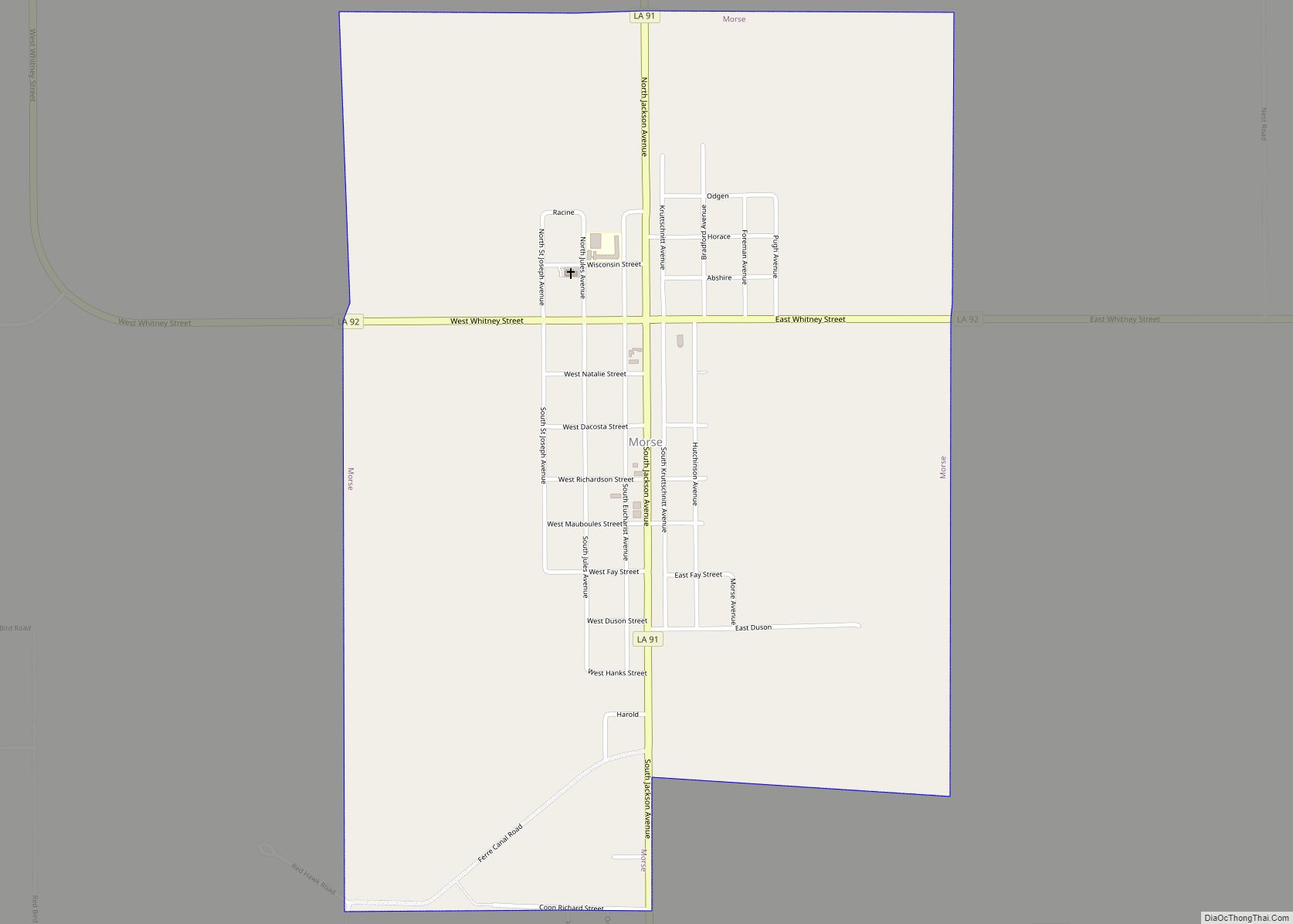
Morse is a village in Acadia Parish, Louisiana, United States. The population was 812 at the 2010 census. It is part of the Crowley Micropolitan Statistical Area. Laid out in 1898 on land owned by J. M. Crabtree, Morse was settled by farmers from Illinois and Iowa and incorporated as a village in 1906. The ... Read more
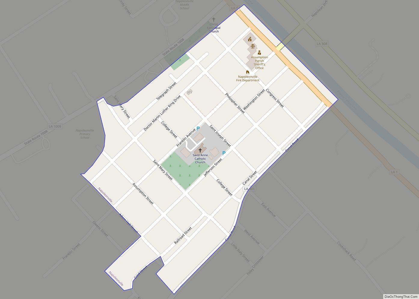
Napoleonville is a village and the parish seat of Assumption Parish, in the U.S. state of Louisiana. The population was 660 at the 2010 census. It is part of the Pierre Part Micropolitan Statistical Area. The village is best known as the location where the film Because of Winn-Dixie, based on Kate DiCamillo’s Newbery Prize-winning ... Read more
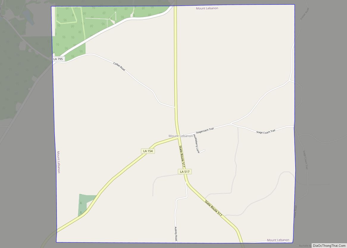
Mount Lebanon is a town in Bienville Parish, Louisiana, United States. The population was 83 at the 2010 census. Mount Lebanon town overview: Name: Mount Lebanon town LSAD Code: 43 LSAD Description: town (suffix) State: Louisiana County: Bienville Parish Elevation: 338 ft (103 m) Total Area: 4.03 sq mi (10.44 km²) Land Area: 4.03 sq mi (10.44 km²) Water Area: 0.00 sq mi (0.00 km²) Total ... Read more
Mound is a village in Madison Parish, Louisiana, United States. With a population of 12 at the 2000 census, it is Louisiana’s smallest village by population. Its ZIP Code is 71282. It is part of the Tallulah Micropolitan Statistical Area. Mound village overview: Name: Mound village LSAD Code: 47 LSAD Description: village (suffix) State: Louisiana ... Read more
Natchitoches (/ˈnækətɪʃ/ NAK-ə-tish; French: Les Natchitoches) is a small city and the parish seat of Natchitoches Parish, Louisiana, United States. Established in 1714 by Louis Juchereau de St. Denis as part of French Louisiana, the community was named after the indigenous Natchitoches people. The City of Natchitoches was incorporated on February 5, 1819, after Louisiana ... Read more
Natchez is a village in Natchitoches Parish, Louisiana, United States. The population was 597 at the 2010 census. It is part of the Natchitoches Micropolitan Statistical Area. The village and parish are part of the Cane River National Heritage Area. Natchez village overview: Name: Natchez village LSAD Code: 47 LSAD Description: village (suffix) State: Louisiana ... Read more
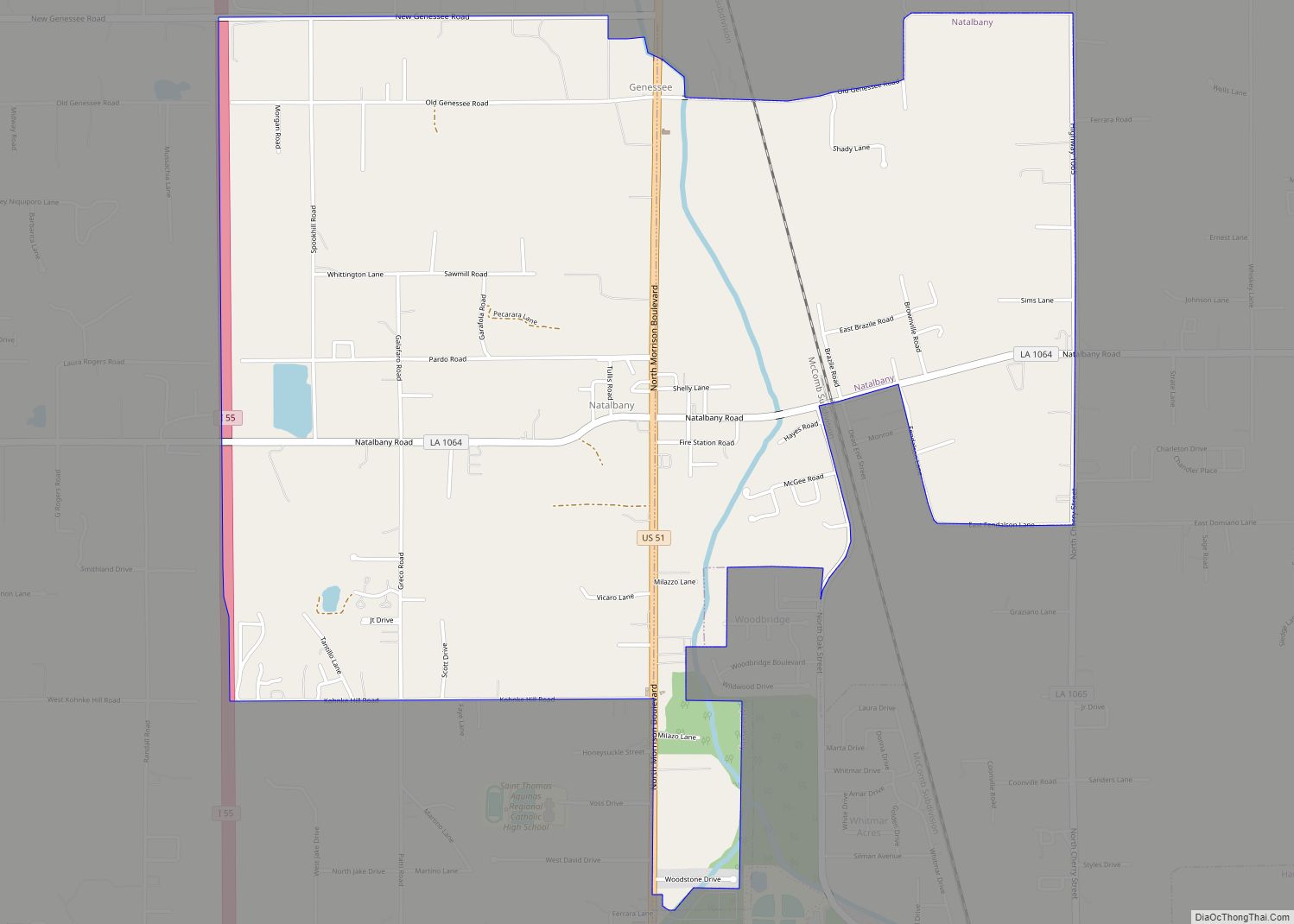
Natalbany is a census-designated place (CDP) in Tangipahoa Parish, Louisiana, United States. The population was 1,739 at the 2000 census. It is part of the Hammond Micropolitan Statistical Area. Natalbany CDP overview: Name: Natalbany CDP LSAD Code: 57 LSAD Description: CDP (suffix) State: Louisiana County: Tangipahoa Parish Elevation: 49 ft (15 m) Total Area: 4.47 sq mi (11.58 km²) Land ... Read more
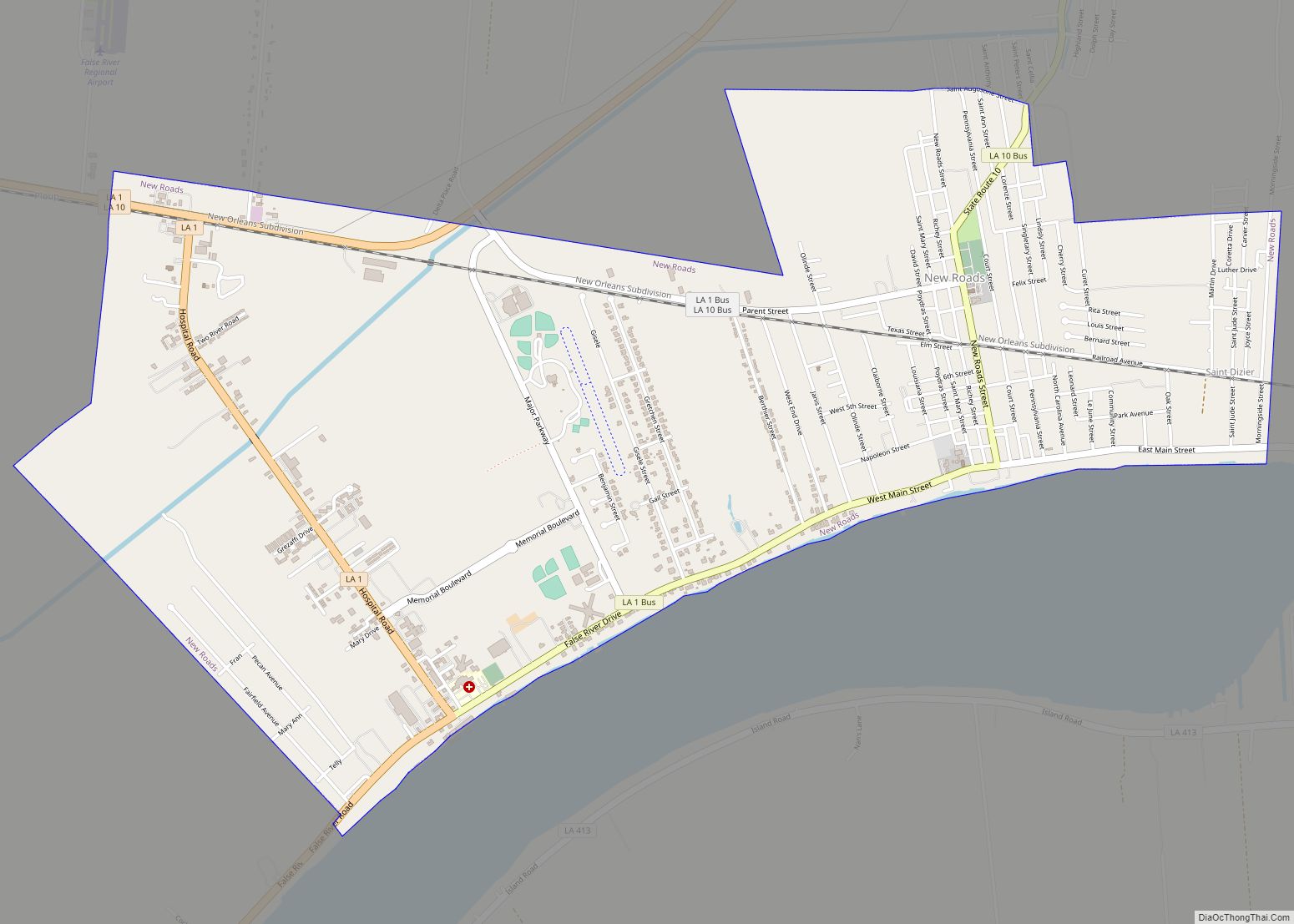
New Roads (historically French: Poste-de-Pointe-Coupée) is a city in and the parish seat of Pointe Coupee Parish, Louisiana, United States. The center of population of Louisiana was located in New Roads in 2000. The population was 4,831 at the 2010 census, down from 4,966 in 2000. The city’s ZIP code is 70760. It is part ... Read more
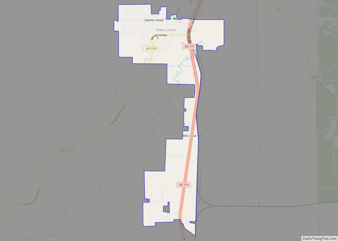
New Llano is a town in Vernon Parish, Louisiana, United States. The population was 2,504 at the 2010 census. It is part of the Fort Polk South Micropolitan Statistical Area. Originally known as Stables, the town was renamed when 200 members of the Socialist commune Llano del Rio Cooperative Colony in California relocated to this ... Read more
