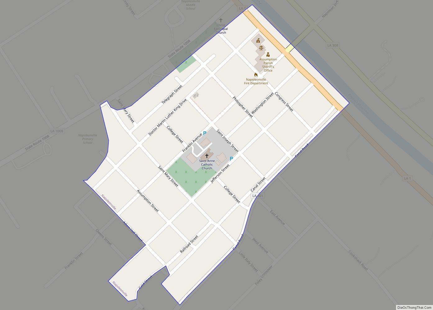
Napoleonville is a village and the parish seat of Assumption Parish, in the U.S. state of Louisiana. The population was 660 at the 2010 census. It is part of the Pierre Part Micropolitan Statistical Area. The village is best known as the location where the film Because of Winn-Dixie, based on Kate DiCamillo’s Newbery Prize-winning novel, was shot. The book was set in (fictional) Naomi, Florida.
| Name: | Napoleonville village |
|---|---|
| LSAD Code: | 47 |
| LSAD Description: | village (suffix) |
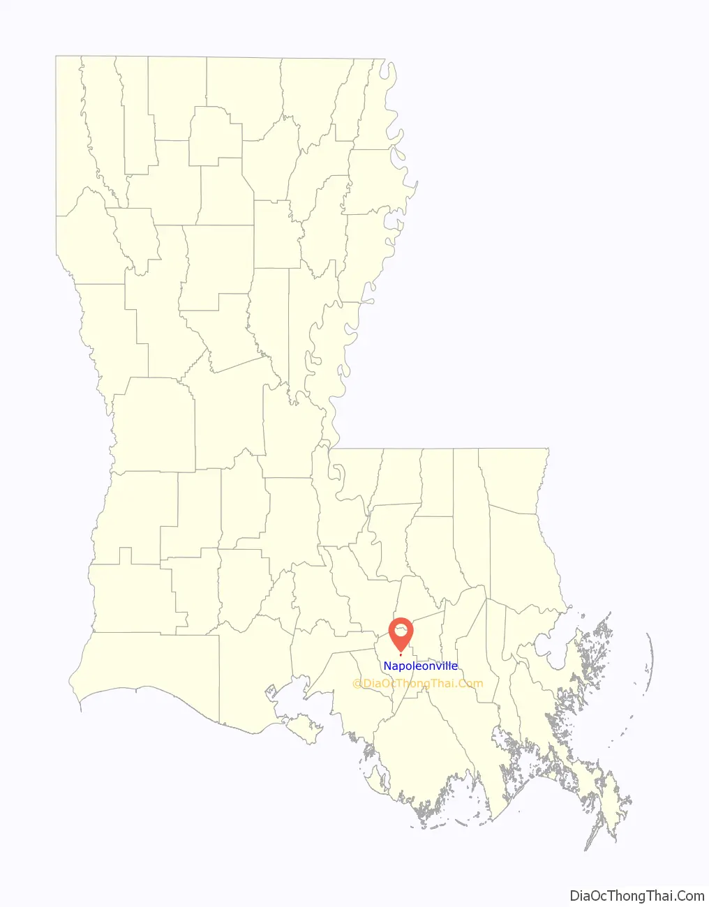
| State: | Louisiana |
| County: | Assumption Parish |
| Total Area: | 0.17 sq mi (0.44 km²) |
| Land Area: | 0.17 sq mi (0.44 km²) |
| Water Area: | 0.00 sq mi (0.00 km²) |
| Total Population: | 540 |
| Population Density: | 3,214.29/sq mi (1,237.47/km²) |
| ZIP code: | 70390 |
| Area code: | 985 |
| FIPS code: | 2253370 |
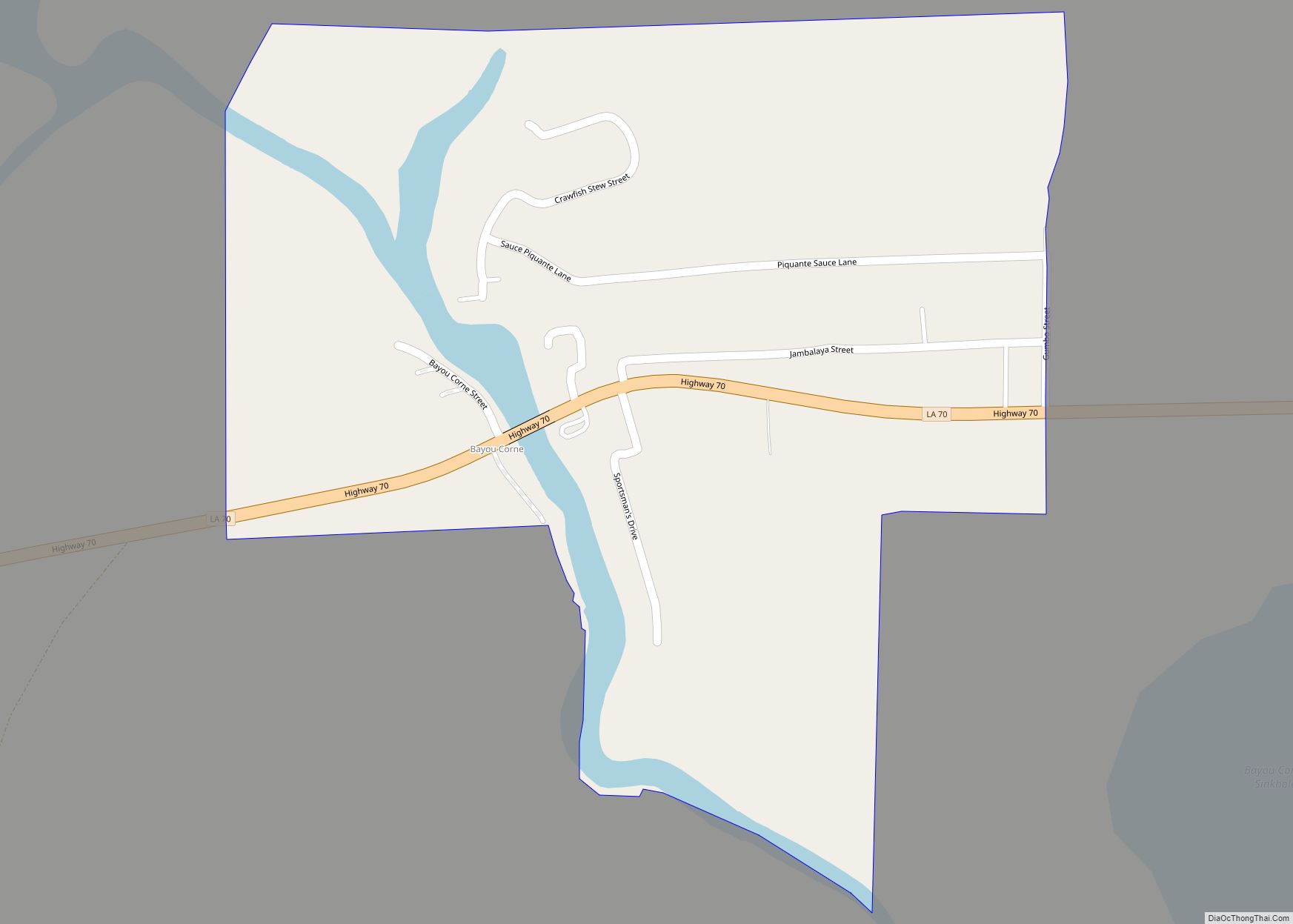
Online Interactive Map
Click on ![]() to view map in "full screen" mode.
to view map in "full screen" mode.
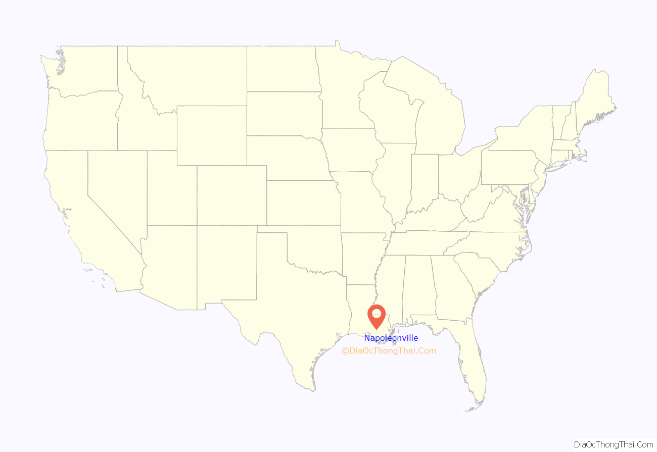
Napoleonville location map. Where is Napoleonville village?
History
As early as 1807 the community that later became Napoleonville was known as “Canal”. This canal extended west from Napoleonville to Lake Verret. The village that later developed was named by a former French soldier who served under Napoleon Bonaparte. The French veteran, Pierre Charlet, is buried in the cemetery of Our Lady of the Assumption Catholic Church in the nearby community of Plattenville in Assumption Parish.
The first permanent settlements in this region were made by the French and Spanish (including Isleños) about the middle of the 18th century along Bayou Lafourche, between the present towns of Donaldsonville and Napoleonville. From 1755 to 1785, the population was increased by the immigration of the exiled Acadians who settled in the area, clearing the land and building comfortable homes. The town was officially incorporated on March 11, 1878.
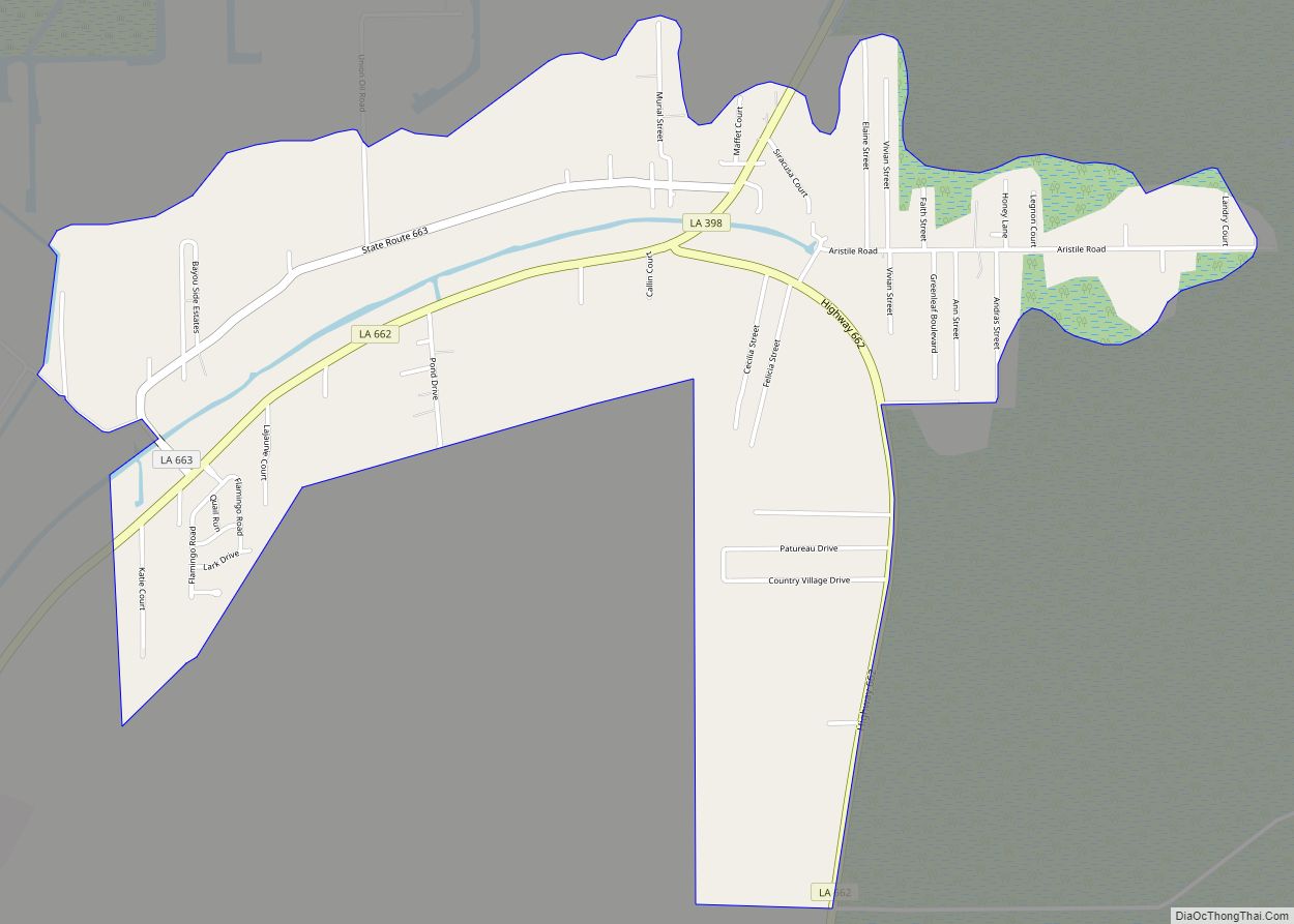
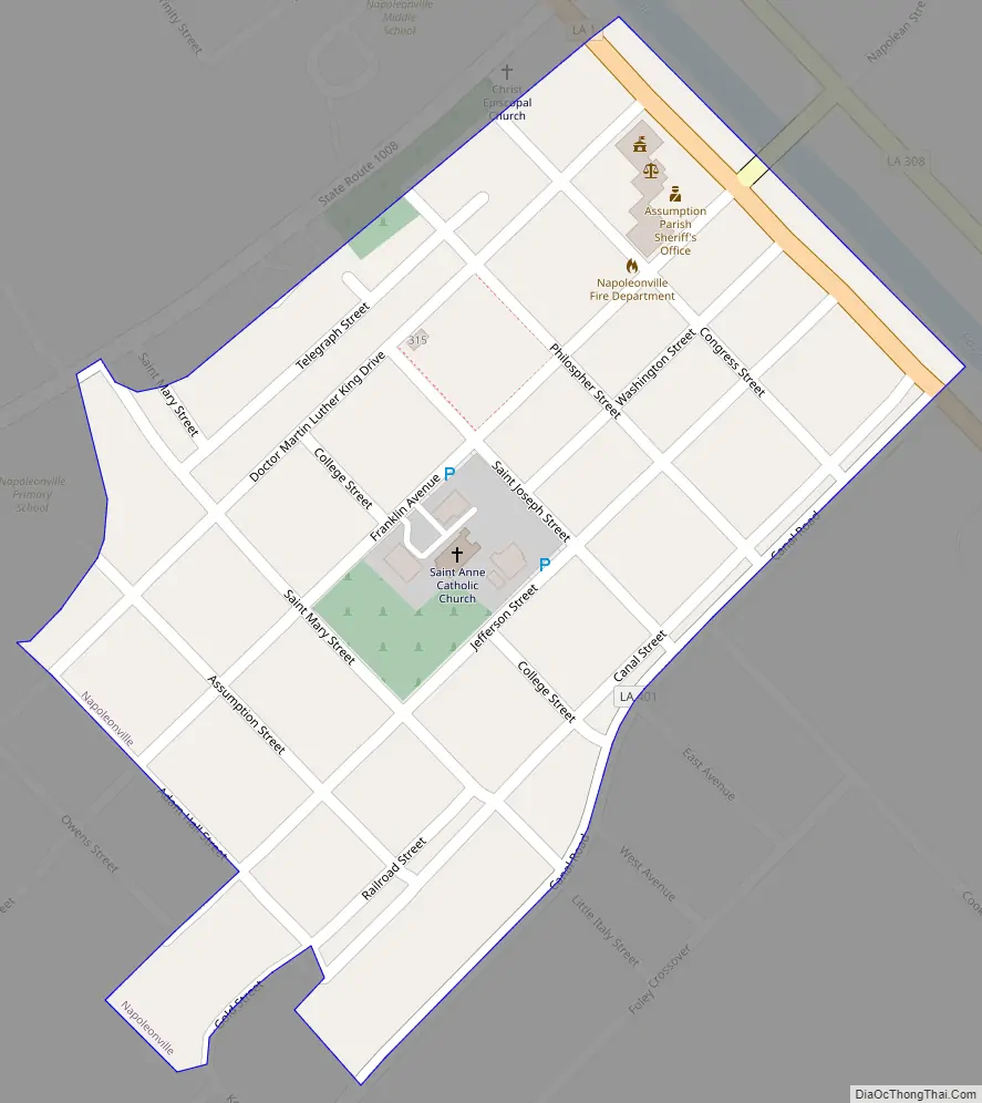
Napoleonville Road Map
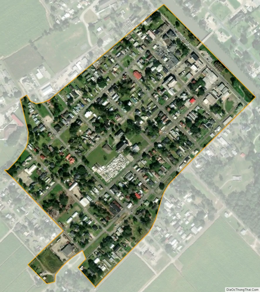
Napoleonville city Satellite Map
Geography
Napoleonville is located at 29°56′16″N 91°1′36″W / 29.93778°N 91.02667°W / 29.93778; -91.02667 (29.937778, -91.026750).
According to the United States Census Bureau, the village has a total area of 0.15 square miles (0.4 km), all land.
See also
Map of Louisiana State and its subdivision:- Acadia
- Allen
- Ascension
- Assumption
- Avoyelles
- Beauregard
- Bienville
- Bossier
- Caddo
- Calcasieu
- Caldwell
- Cameron
- Catahoula
- Claiborne
- Concordia
- De Soto
- East Baton Rouge
- East Carroll
- East Feliciana
- Evangeline
- Franklin
- Grant
- Iberia
- Iberville
- Jackson
- Jefferson
- Jefferson Davis
- La Salle
- Lafayette
- Lafourche
- Lincoln
- Livingston
- Madison
- Morehouse
- Natchitoches
- Orleans
- Ouachita
- Plaquemines
- Pointe Coupee
- Rapides
- Red River
- Richland
- Sabine
- Saint Bernard
- Saint Charles
- Saint Helena
- Saint James
- Saint John the Baptist
- Saint Landry
- Saint Martin
- Saint Mary
- Saint Tammany
- Tangipahoa
- Tensas
- Terrebonne
- Union
- Vermilion
- Vernon
- Washington
- Webster
- West Baton Rouge
- West Carroll
- West Feliciana
- Winn
- Alabama
- Alaska
- Arizona
- Arkansas
- California
- Colorado
- Connecticut
- Delaware
- District of Columbia
- Florida
- Georgia
- Hawaii
- Idaho
- Illinois
- Indiana
- Iowa
- Kansas
- Kentucky
- Louisiana
- Maine
- Maryland
- Massachusetts
- Michigan
- Minnesota
- Mississippi
- Missouri
- Montana
- Nebraska
- Nevada
- New Hampshire
- New Jersey
- New Mexico
- New York
- North Carolina
- North Dakota
- Ohio
- Oklahoma
- Oregon
- Pennsylvania
- Rhode Island
- South Carolina
- South Dakota
- Tennessee
- Texas
- Utah
- Vermont
- Virginia
- Washington
- West Virginia
- Wisconsin
- Wyoming