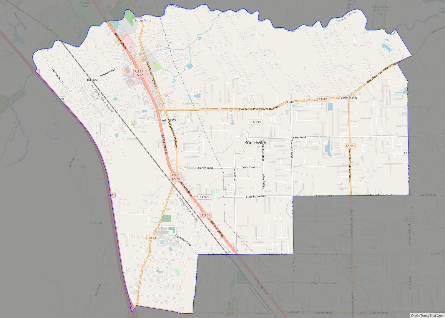
Prairieville is a census-designated place in Ascension Parish, Louisiana, United States. It is south of Baton Rouge and north of Gonzales. Prairieville is an expanding bedroom suburb of Baton Rouge. Its name is derived from the once plentiful pastures and prairies that were visible from Highway 73 (Jefferson Hwy.) and Airline Highway, which is now ... Read more
Louisiana Cities and Places
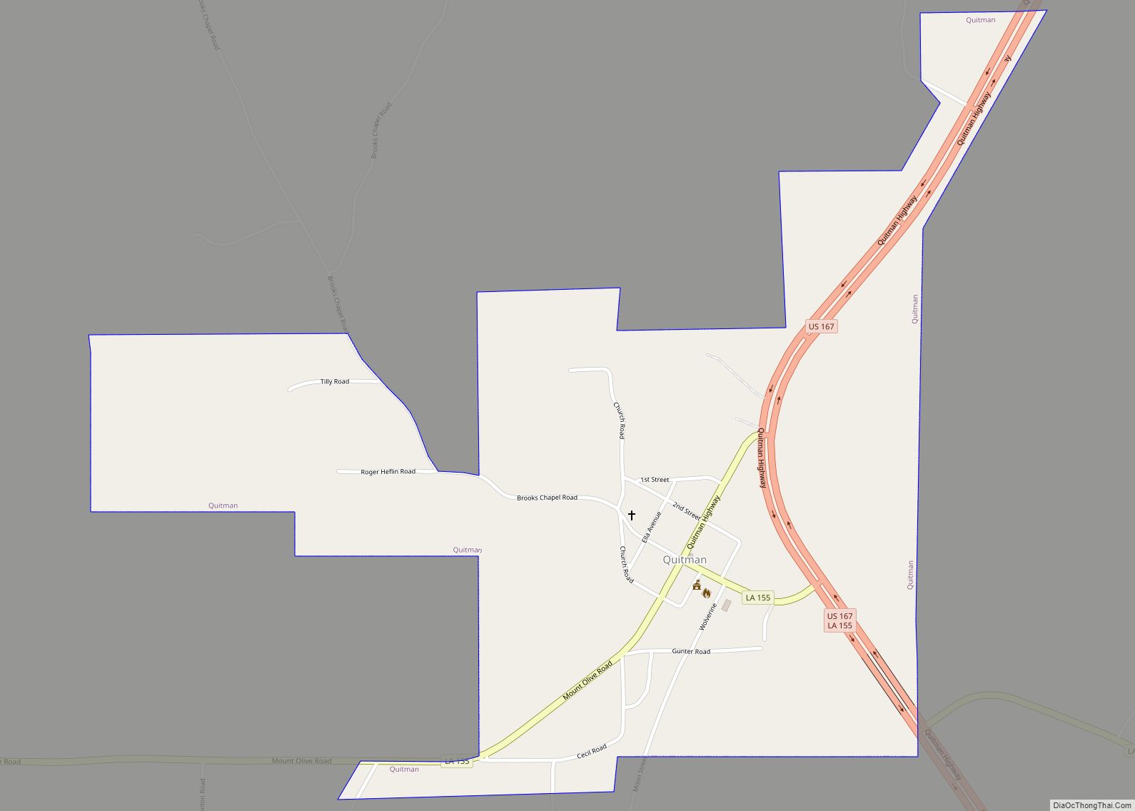
Quitman is a village in Jackson Parish, Louisiana, United States. As of the 2010 census, the village population was 181. Quitman is 15 miles (24 km) south of Ruston on U.S. Highway 167, and 9 miles (14 km) north of Jonesboro, the parish seat of Jackson Parish. It is also adjacent to the Jackson Bienville Wildlife Area. ... Read more
Provencal is a village in Natchitoches Parish, Louisiana, United States. The population was 611 at the 2010 census. It is part of the Natchitoches Micropolitan Statistical Area. Coushatta businessman and philanthropist Edgar Cason is a former Provencal resident. Provencal village overview: Name: Provencal village LSAD Code: 47 LSAD Description: village (suffix) State: Louisiana County: Natchitoches ... Read more
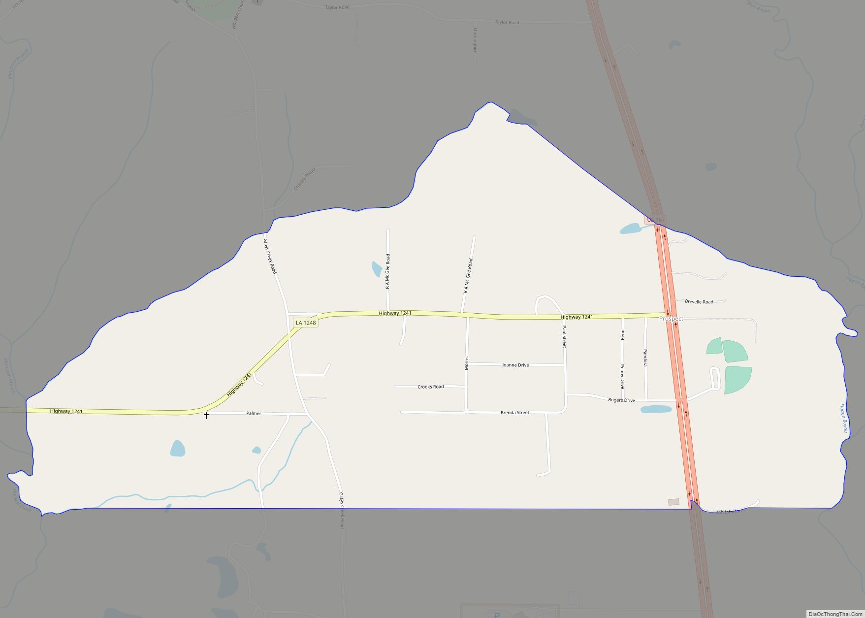
Prospect is an unincorporated community and census-designated place (CDP) in southern Grant Parish, Louisiana, United States. It is part of the Alexandria, Louisiana Metropolitan Statistical Area. As of the 2010 census the population was 476. Prospect CDP overview: Name: Prospect CDP LSAD Code: 57 LSAD Description: CDP (suffix) State: Louisiana County: Grant Parish Elevation: 184 ft ... Read more
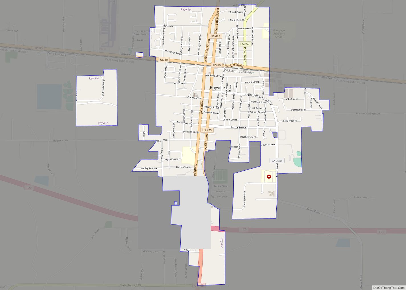
Rayville is a town in and the parish seat of Richland Parish in northeastern Louisiana, United States. The population, which is 69 percent African American, was 4,234 at the 2000 census, but it had declined by nearly 13 percent in 2010 to 3,695. The City Hall, located next to the U.S. Post Office across from ... Read more
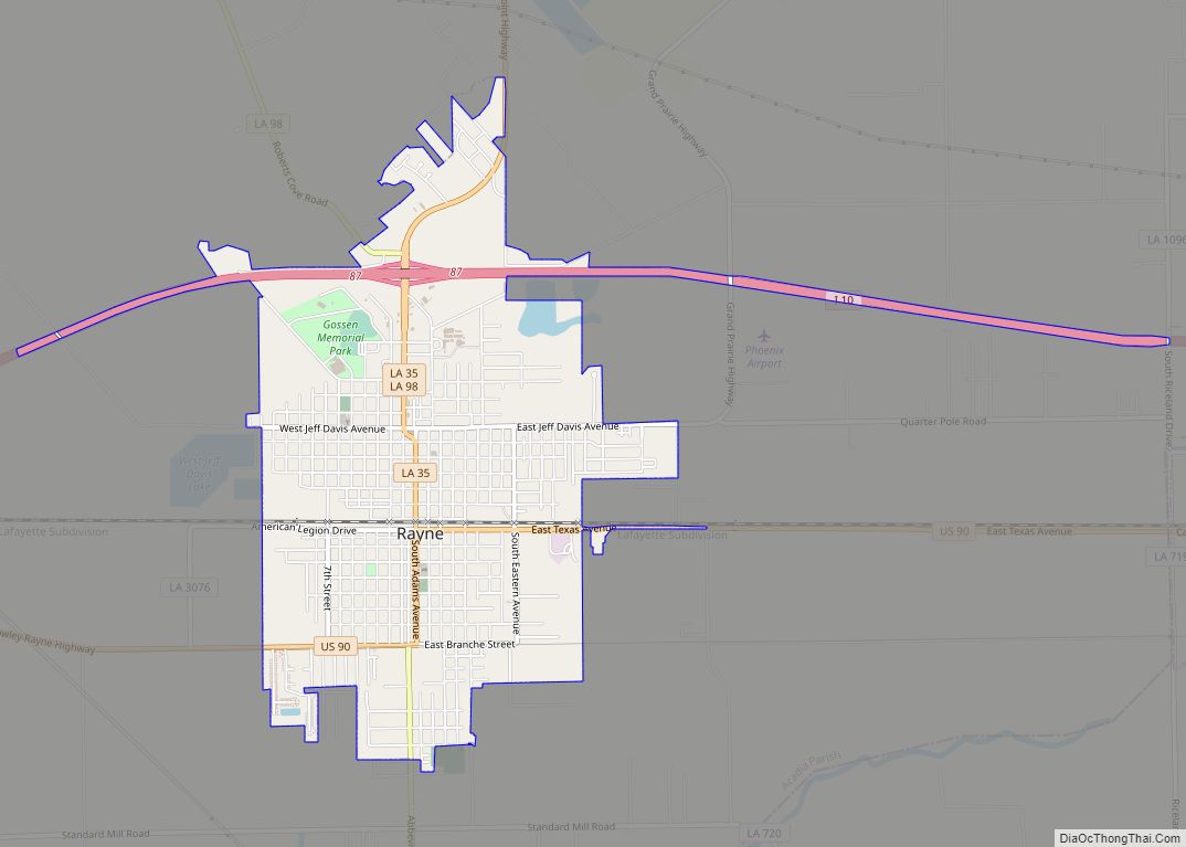
Rayne is a city in the U.S. state of Louisiana, in Acadia Parish. With a population of 7,326 at the 2020 United States census, it is nicknamed the “Frog Capital of the World”, as well as the “Louisiana City of Murals”. Rayne is part of the Crowley micropolitan statistical area, and within the Lafayette metropolitan ... Read more
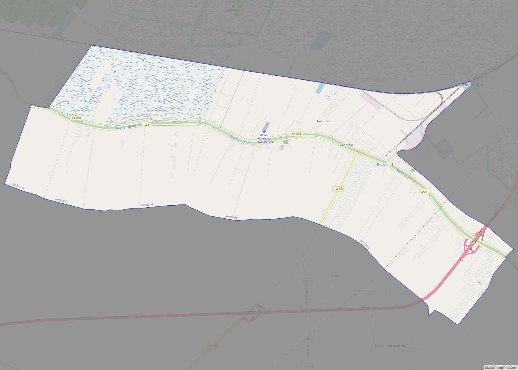
Raceland is an unincorporated community and census-designated place (CDP) on Bayou Lafourche in Lafourche Parish, Louisiana, United States. The population was 9,768 in 2020. It is part of the Houma–Bayou Cane–Thibodaux metropolitan statistical area. According to the Louisiana Office of Tourism, Raceland was named for the Race family that once owned a large plantation named ... Read more
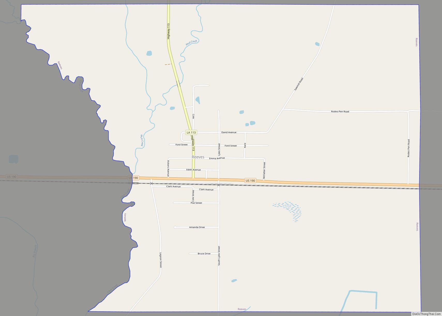
Reeves is a village in Allen Parish, Louisiana, United States. The population was 232 at the 2010 census. Reeves village overview: Name: Reeves village LSAD Code: 47 LSAD Description: village (suffix) State: Louisiana County: Allen Parish Elevation: 56 ft (17 m) Total Area: 2.42 sq mi (6.27 km²) Land Area: 2.42 sq mi (6.26 km²) Water Area: 0.00 sq mi (0.01 km²) Total Population: 221 Population ... Read more
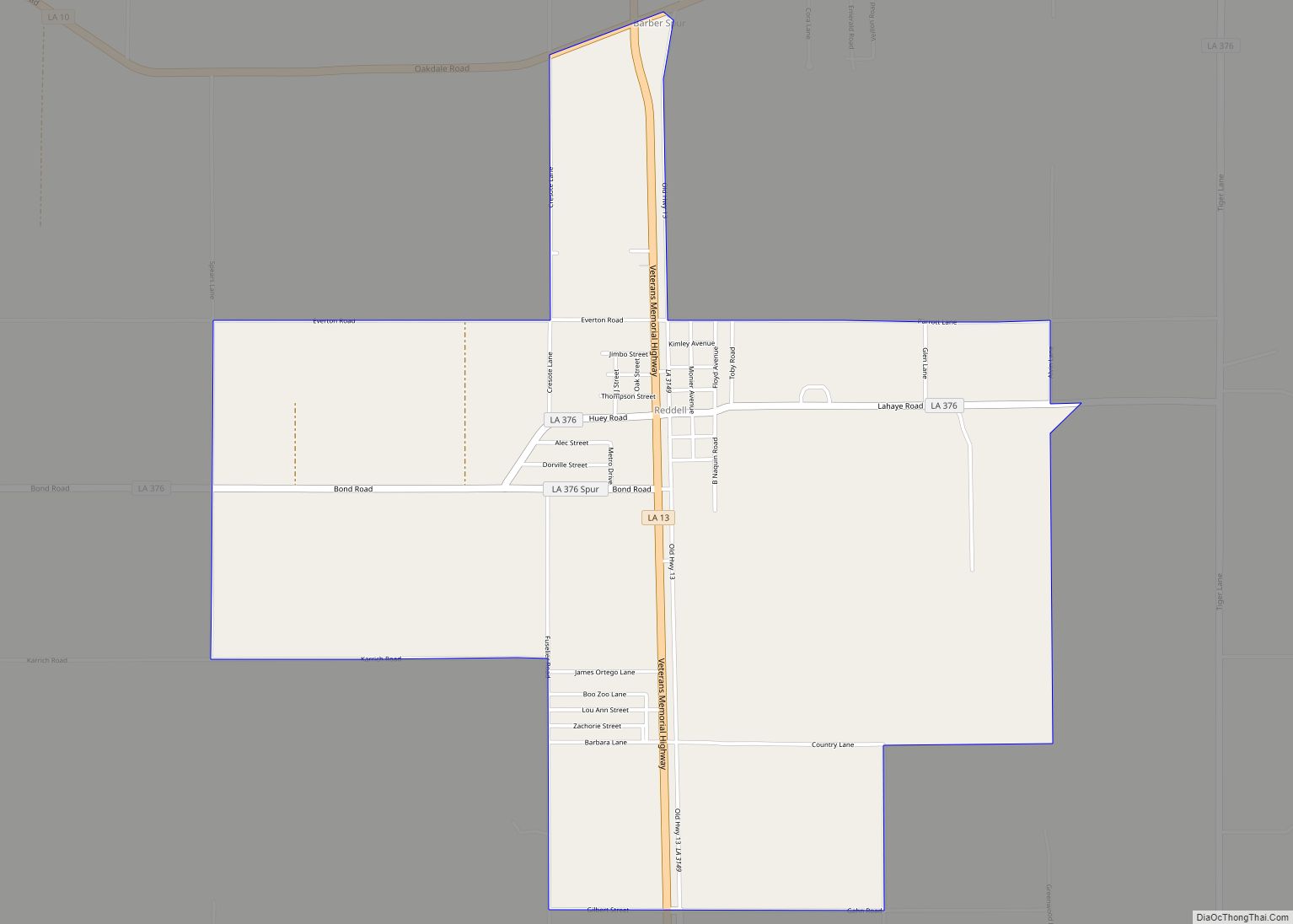
Reddell is a census-designated place and unincorporated community in Evangeline Parish, Louisiana, United States. As of the 2010 census it had a population of 733. It is located approximately 2 miles (3 km) north of Mamou along Louisiana Highway 13. Reddell has a post office (ZIP code 70580), grocery store, and one of the largest rice ... Read more
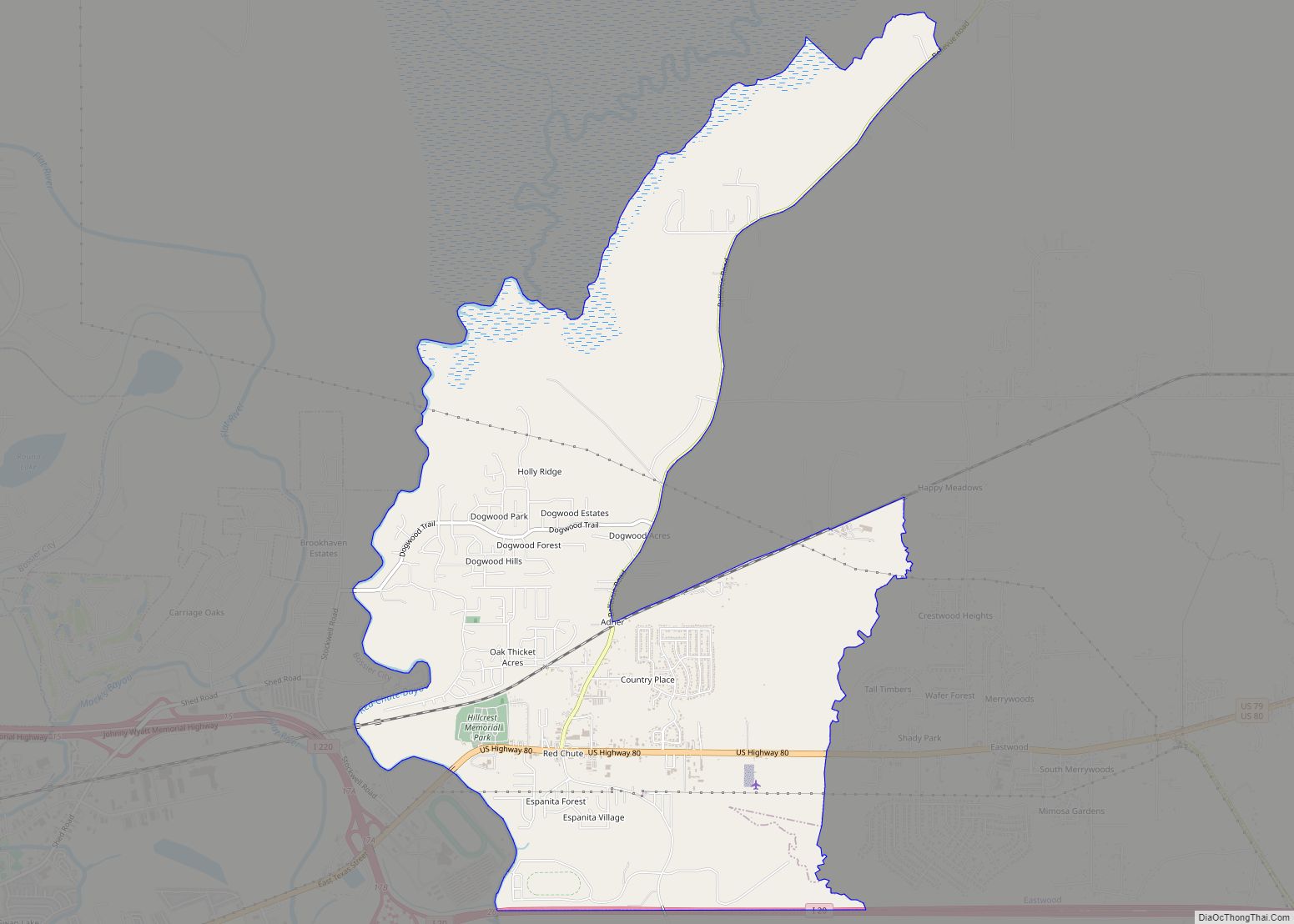
Red Chute is a census-designated place (CDP) in Bossier Parish, Louisiana, United States. The population was 6,261 at the 2010 census. It is part of the Shreveport–Bossier City Metropolitan Statistical Area. Red Chute CDP overview: Name: Red Chute CDP LSAD Code: 57 LSAD Description: CDP (suffix) State: Louisiana County: Bossier Parish Elevation: 213 ft (65 m) Total ... Read more
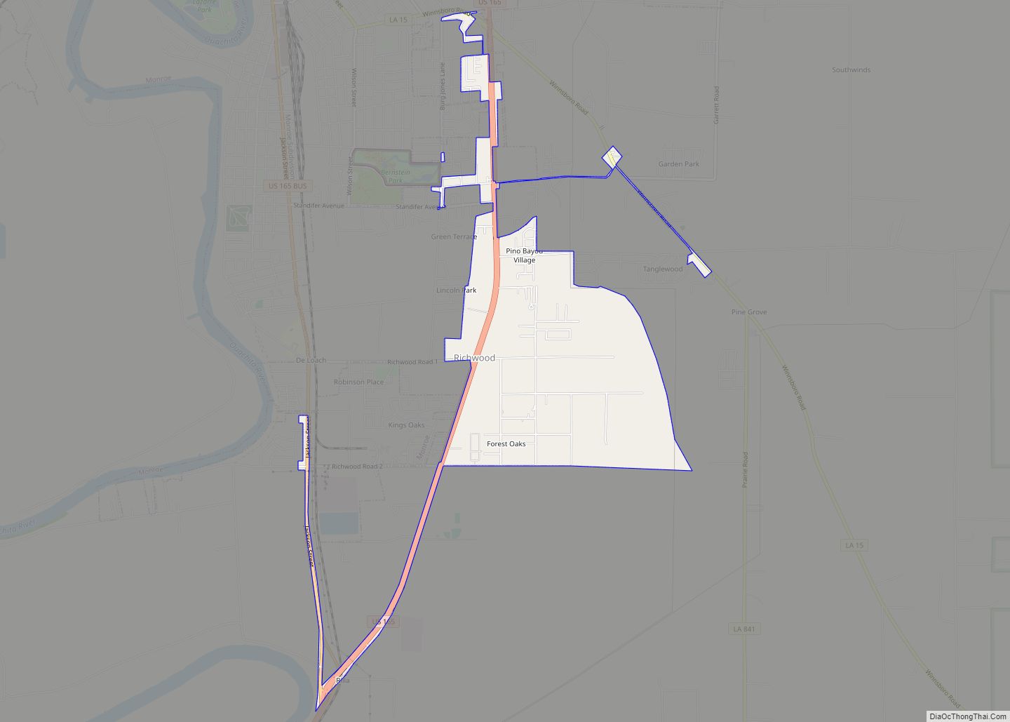
Richwood is a town in Ouachita Parish, Louisiana, United States. The Town was incorporated December 31, 1974, under the provision of Louisiana Revised Statute 33:52. The Town operates under a form of government consisting of an elected mayor and a board of alder persons, which has five elected members. The Town provides garbage collection, street ... Read more
Richmond is a village in Madison Parish, Louisiana, United States, located on Roundaway Bayou. The population was 577 at the 2010 census. It is part of the Tallulah Micropolitan Statistical Area. Richmond village overview: Name: Richmond village LSAD Code: 47 LSAD Description: village (suffix) State: Louisiana County: Madison Parish Elevation: 75 ft (23 m) Total Area: 1.66 sq mi ... Read more
