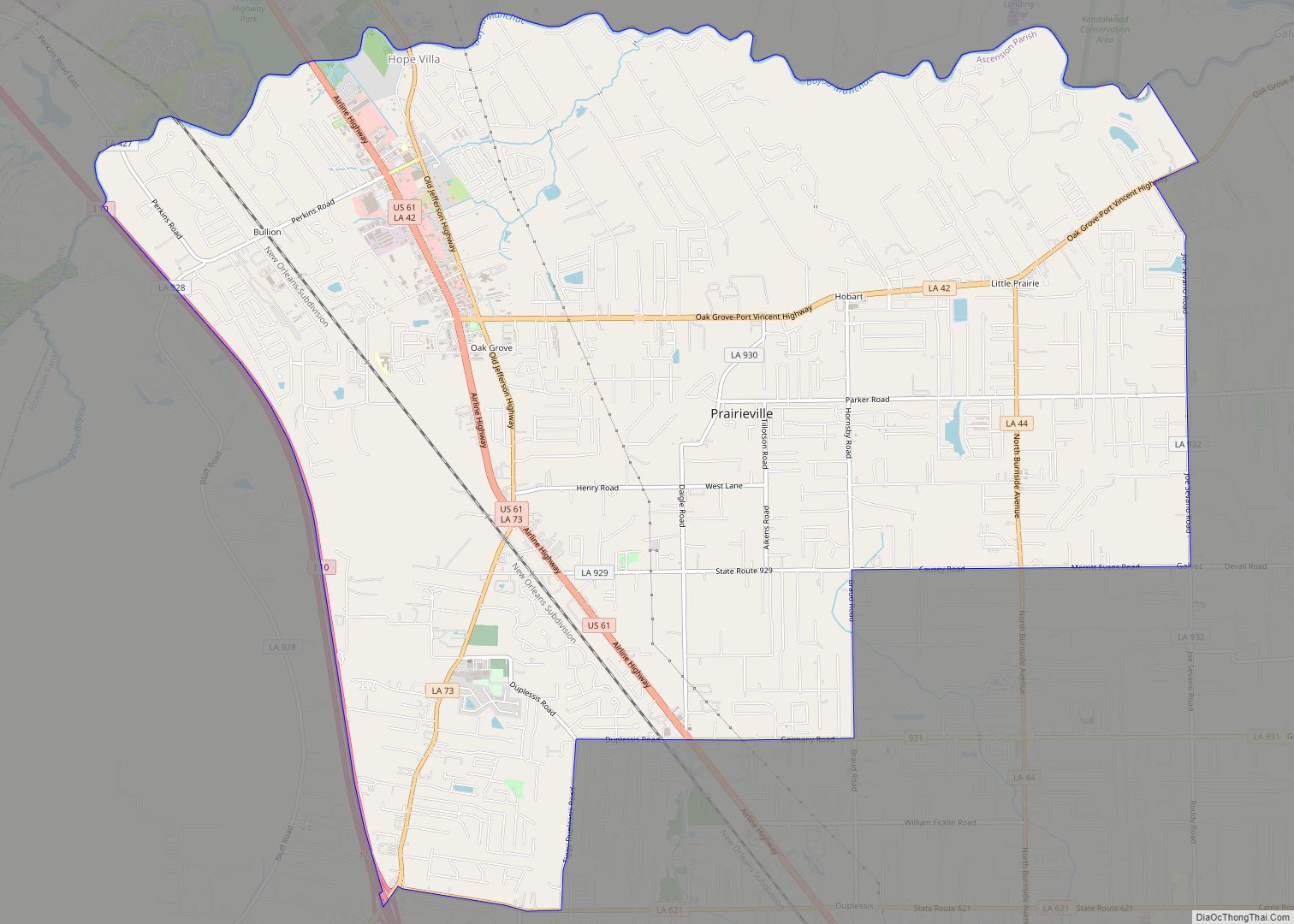
Prairieville is a census-designated place in Ascension Parish, Louisiana, United States. It is south of Baton Rouge and north of Gonzales.
Prairieville is an expanding bedroom suburb of Baton Rouge. Its name is derived from the once plentiful pastures and prairies that were visible from Highway 73 (Jefferson Hwy.) and Airline Highway, which is now covered with development. Prairieville started off as a quiet community with few people.
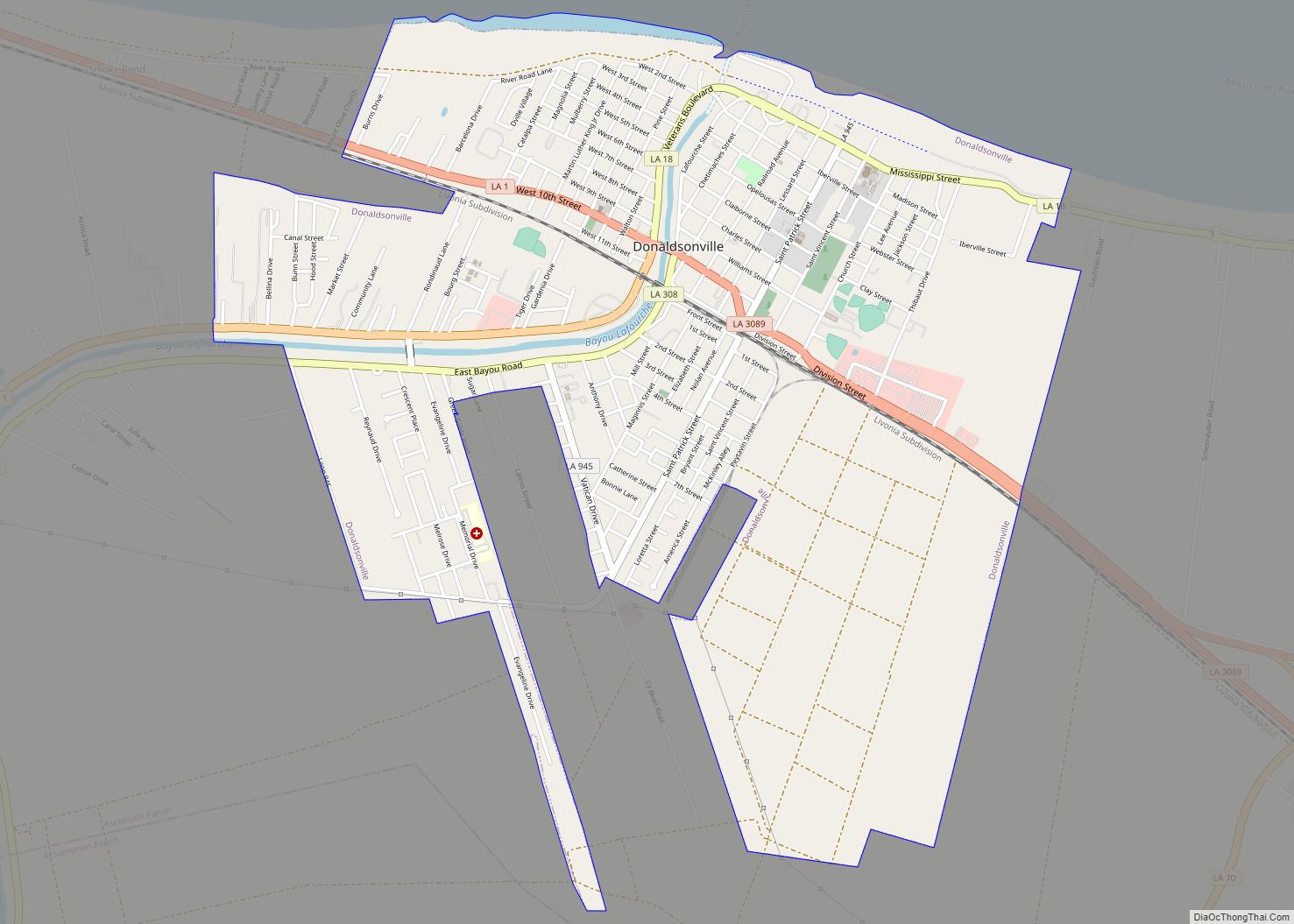
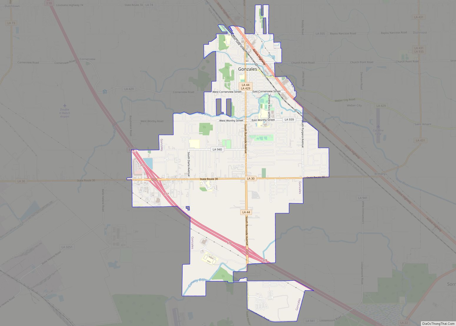
In recent decades, Prairieville has benefited from migration out of Baton Rouge, with new residents particularly drawn to the area by its high-performing public schools and low crime rate. Prairieville had a 2020 census population of 33,197 inhabitants. If it was incorporated it would be the largest city in Ascension Parish. Prairieville is in one of the fastest-growing areas in Louisiana. Prairieville’s population is bigger than the parish’s two largest incorporated cities, Donaldsonville (6,695) and Gonzales (12,231) combined.
| Name: | Prairieville CDP |
|---|---|
| LSAD Code: | 57 |
| LSAD Description: | CDP (suffix) |
| State: | Louisiana |
| County: | Ascension Parish |
| Elevation: | 23 ft (7 m) |
| Total Area: | 22.08 sq mi (57.18 km²) |
| Land Area: | 22.00 sq mi (56.97 km²) |
| Water Area: | 0.08 sq mi (0.21 km²) |
| Total Population: | 33,197 |
| Population Density: | 1,509.09/sq mi (582.67/km²) |
| ZIP code: | 70769 |
| Area code: | 225 |
| FIPS code: | 2262385 |
Online Interactive Map
Click on ![]() to view map in "full screen" mode.
to view map in "full screen" mode.
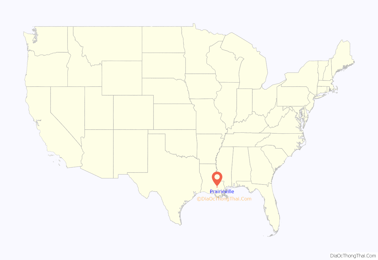
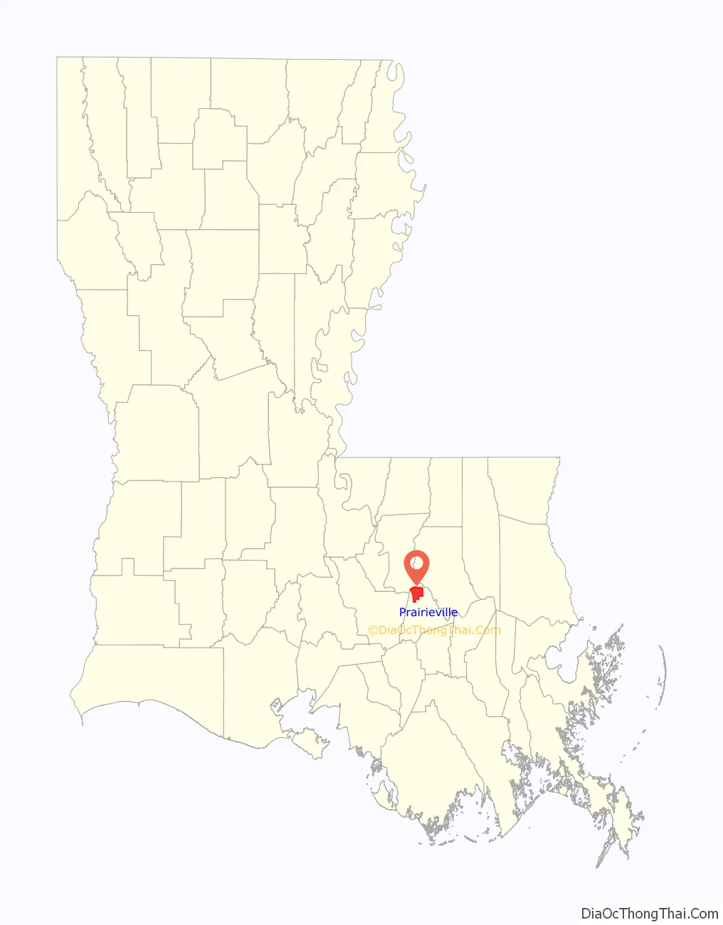
Prairieville location map. Where is Prairieville CDP?
History
Prairieville is vulnerable to hurricanes and tropical systems due to its proximity to the coast of southeast Louisiana. Hurricane Gustav caused major damage to the Prairieville area; many trees were downed and power lines were down for weeks.
Phillips Farm
The most notable local property was the Phillips Farm. The farmhouse is still a local landmark in Prairieville, although the original owner died in 2005. The house is lined with live oaks and a white planked fence surrounds the grounds. The pasture was sold in 1992 at the start of the suburban development and a 250-resident subdivision named “Seven Oaks” surrounds the farm where the pastures were.
In 2006, the farmhouse was sold at auction following the death of Dr. Carey A. Phillips. The 40-acre (160,000 m) tract of land (including the house) has been made into a cemetery now called Oak Lane Memorial Park.
Prairieville Road Map
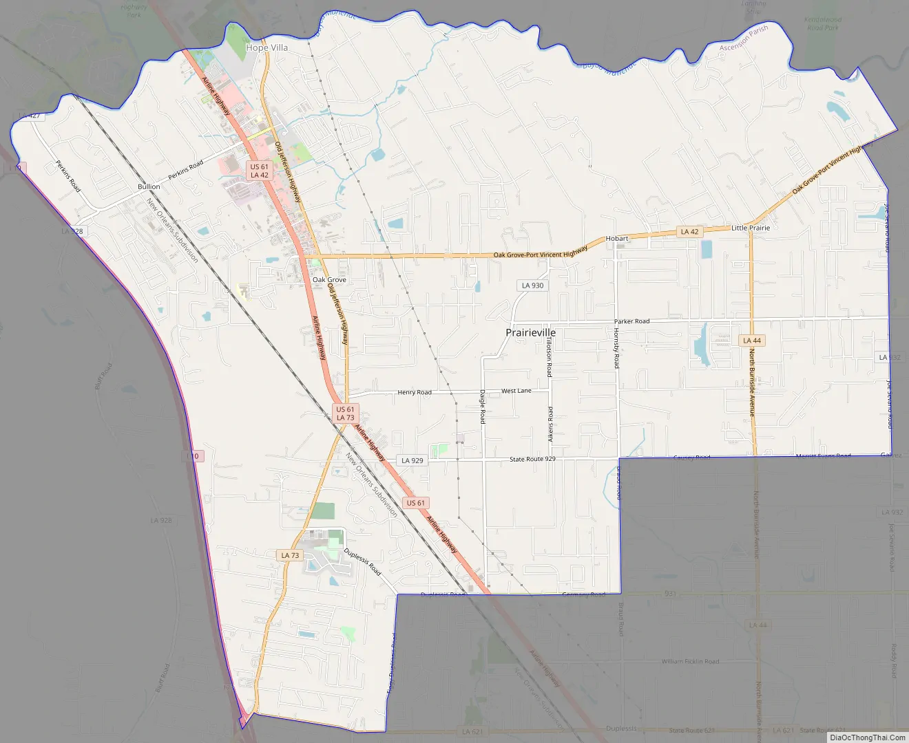
Prairieville city Satellite Map

Geography
Prairieville’s latitude is 30.302N, and the longitude is -90.971W. The elevation is 23 feet (7.0 m).
See also
Map of Louisiana State and its subdivision:- Acadia
- Allen
- Ascension
- Assumption
- Avoyelles
- Beauregard
- Bienville
- Bossier
- Caddo
- Calcasieu
- Caldwell
- Cameron
- Catahoula
- Claiborne
- Concordia
- De Soto
- East Baton Rouge
- East Carroll
- East Feliciana
- Evangeline
- Franklin
- Grant
- Iberia
- Iberville
- Jackson
- Jefferson
- Jefferson Davis
- La Salle
- Lafayette
- Lafourche
- Lincoln
- Livingston
- Madison
- Morehouse
- Natchitoches
- Orleans
- Ouachita
- Plaquemines
- Pointe Coupee
- Rapides
- Red River
- Richland
- Sabine
- Saint Bernard
- Saint Charles
- Saint Helena
- Saint James
- Saint John the Baptist
- Saint Landry
- Saint Martin
- Saint Mary
- Saint Tammany
- Tangipahoa
- Tensas
- Terrebonne
- Union
- Vermilion
- Vernon
- Washington
- Webster
- West Baton Rouge
- West Carroll
- West Feliciana
- Winn
- Alabama
- Alaska
- Arizona
- Arkansas
- California
- Colorado
- Connecticut
- Delaware
- District of Columbia
- Florida
- Georgia
- Hawaii
- Idaho
- Illinois
- Indiana
- Iowa
- Kansas
- Kentucky
- Louisiana
- Maine
- Maryland
- Massachusetts
- Michigan
- Minnesota
- Mississippi
- Missouri
- Montana
- Nebraska
- Nevada
- New Hampshire
- New Jersey
- New Mexico
- New York
- North Carolina
- North Dakota
- Ohio
- Oklahoma
- Oregon
- Pennsylvania
- Rhode Island
- South Carolina
- South Dakota
- Tennessee
- Texas
- Utah
- Vermont
- Virginia
- Washington
- West Virginia
- Wisconsin
- Wyoming