Rayville is a town in and the parish seat of Richland Parish in northeastern Louisiana, United States. The population, which is 69 percent African American, was 4,234 at the 2000 census, but it had declined by nearly 13 percent in 2010 to 3,695.
The City Hall, located next to the U.S. Post Office across from U.S. Highway 80, is named for former Rayville Mayor Joe Kalil (1922–1996).
| Name: | Rayville town |
|---|---|
| LSAD Code: | 43 |
| LSAD Description: | town (suffix) |
| State: | Louisiana |
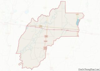
| County: | Richland Parish |
| Elevation: | 82 ft (25 m) |
| Total Area: | 2.34 sq mi (6.06 km²) |
| Land Area: | 2.31 sq mi (5.98 km²) |
| Water Area: | 0.03 sq mi (0.08 km²) |
| Total Population: | 3,347 |
| Population Density: | 1,448.92/sq mi (559.52/km²) |
| ZIP code: | 71269 |
| Area code: | 318 |
| FIPS code: | 2263680 |
| Website: | www.townofrayville.com |
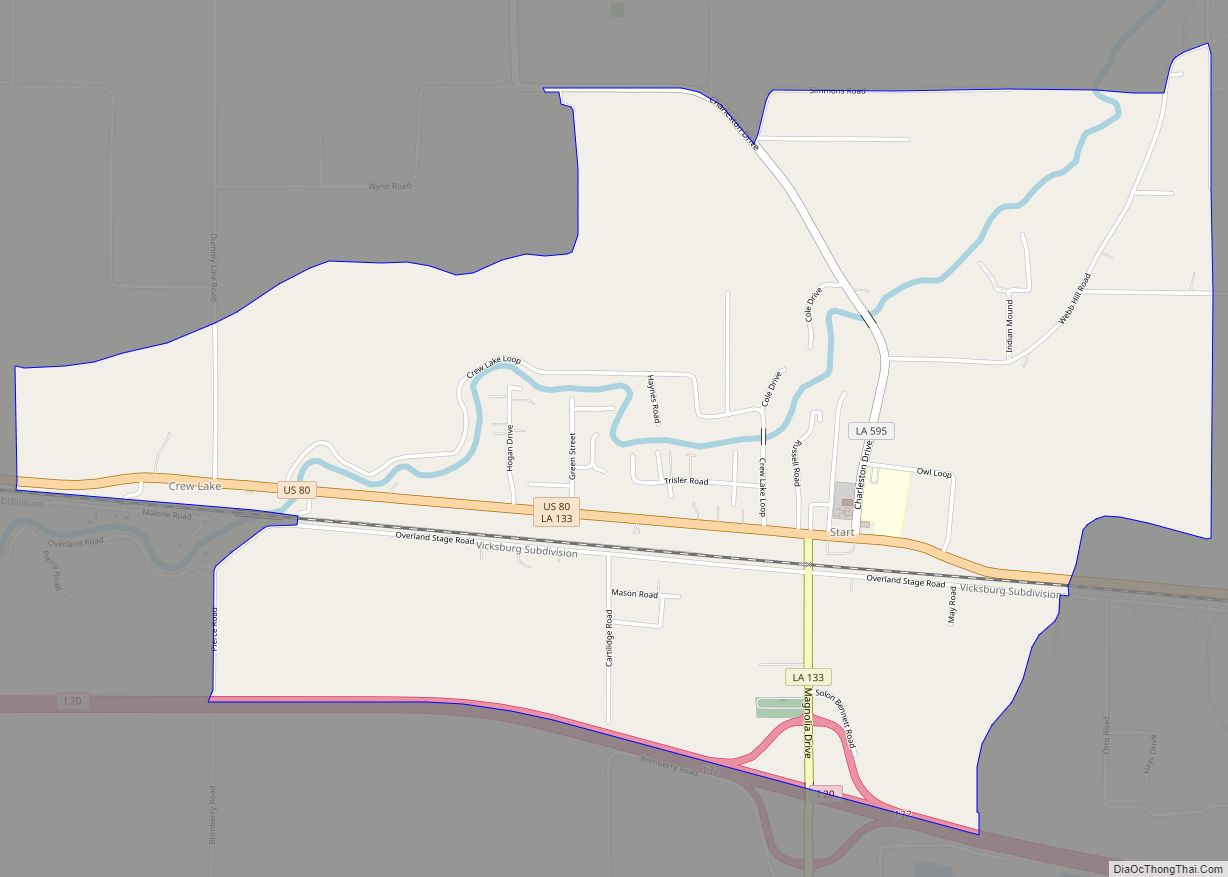
Online Interactive Map
Click on ![]() to view map in "full screen" mode.
to view map in "full screen" mode.
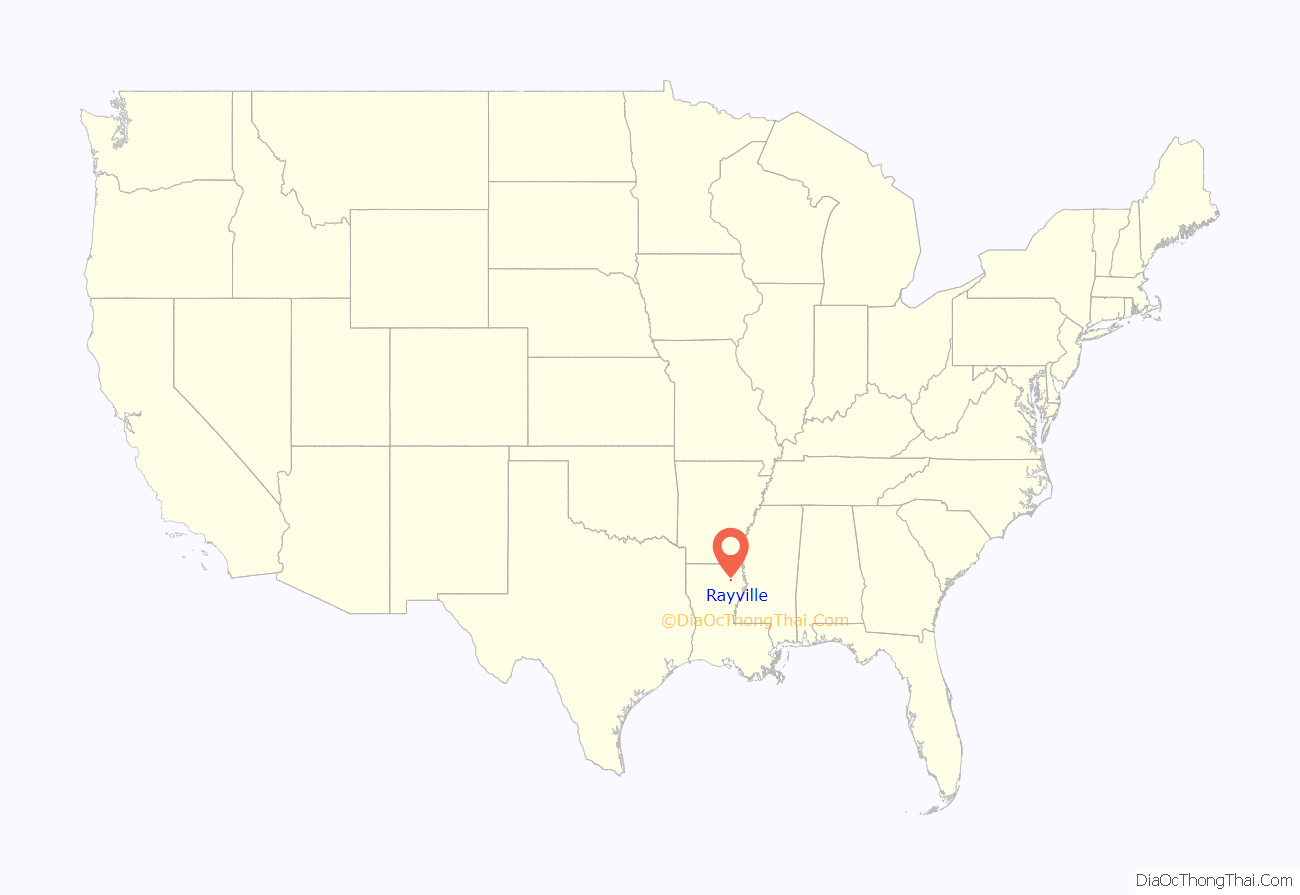
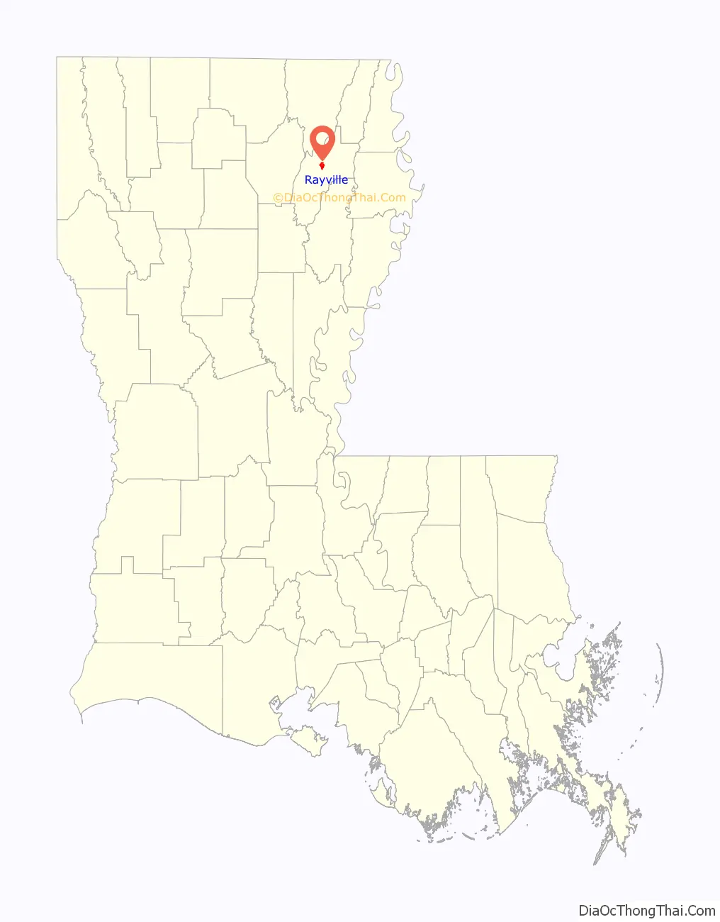
Rayville location map. Where is Rayville town?
History
Rayville was named for John Ray.
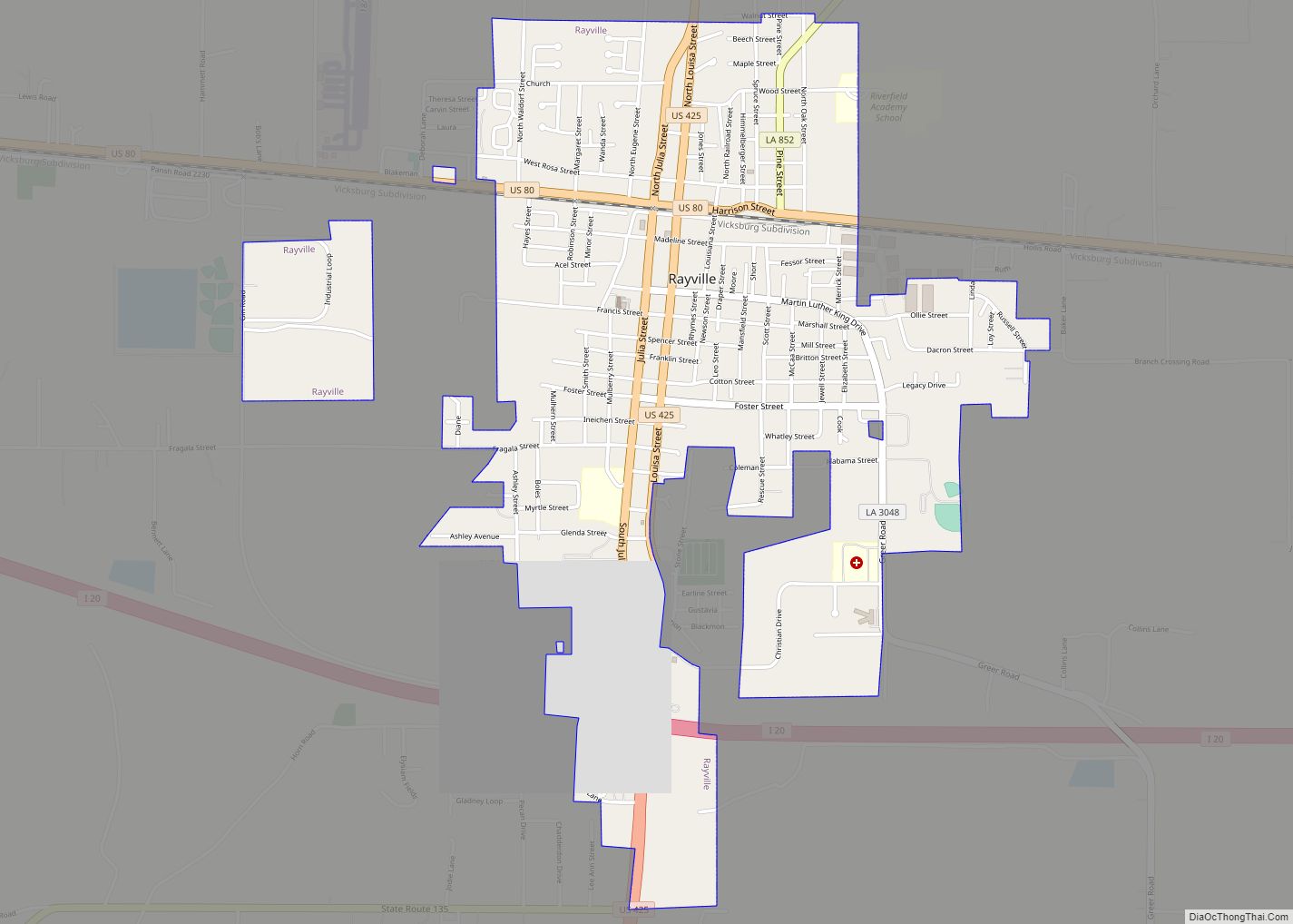
Rayville Road Map
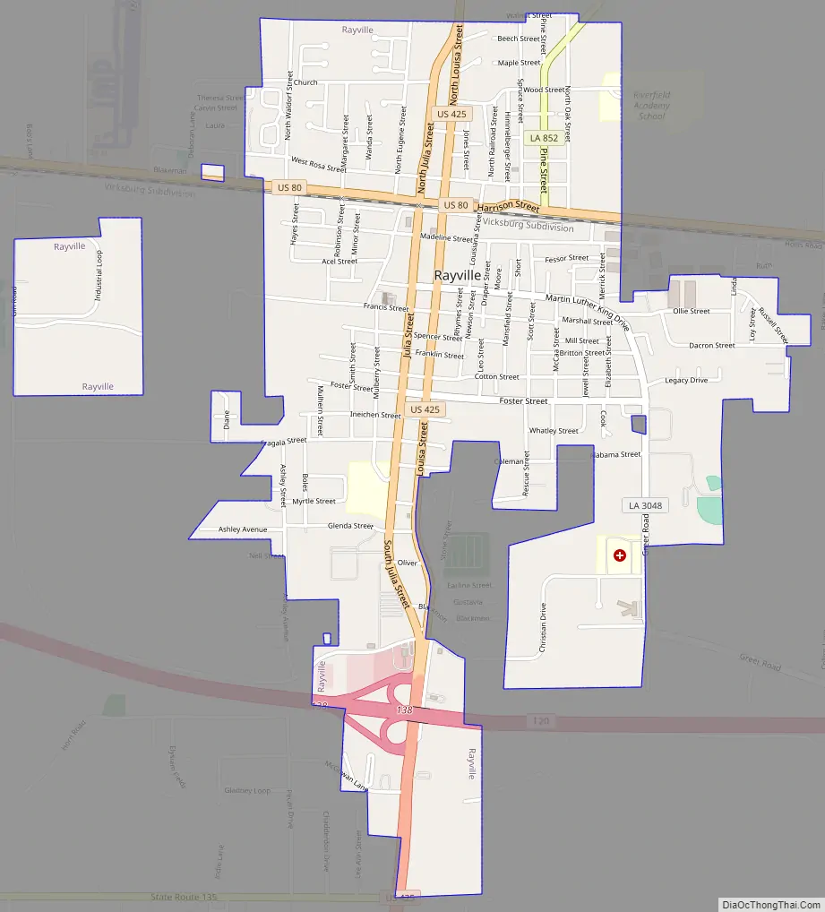
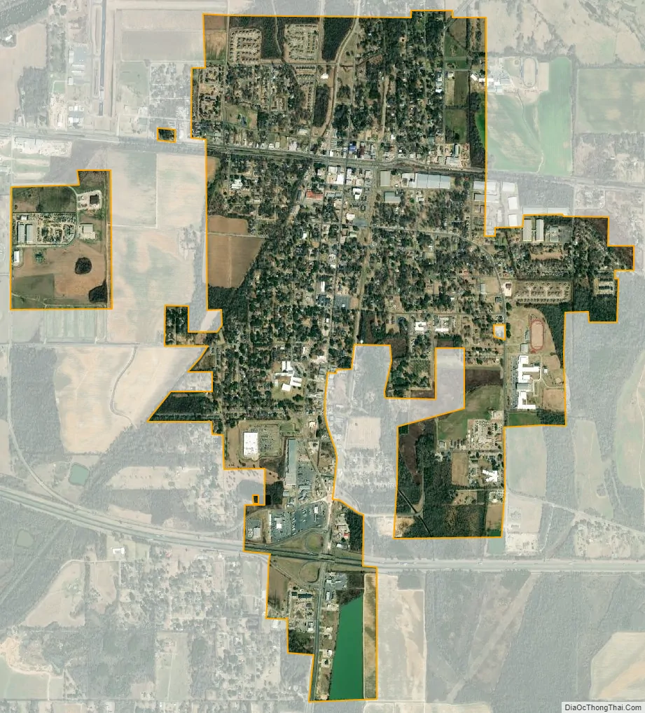
Rayville city Satellite Map
Geography
Rayville is located at 32°28′25″N 91°45′27″W / 32.47361°N 91.75750°W / 32.47361; -91.75750 (32.473580, -91.757387).
According to the United States Census Bureau, the town has a total area of 2.3 square miles (5.9 km), of which 2.2 square miles (5.8 km) is land and 0.04 square mile (0.1 km) (1.32%) is water.
See also
Map of Louisiana State and its subdivision:- Acadia
- Allen
- Ascension
- Assumption
- Avoyelles
- Beauregard
- Bienville
- Bossier
- Caddo
- Calcasieu
- Caldwell
- Cameron
- Catahoula
- Claiborne
- Concordia
- De Soto
- East Baton Rouge
- East Carroll
- East Feliciana
- Evangeline
- Franklin
- Grant
- Iberia
- Iberville
- Jackson
- Jefferson
- Jefferson Davis
- La Salle
- Lafayette
- Lafourche
- Lincoln
- Livingston
- Madison
- Morehouse
- Natchitoches
- Orleans
- Ouachita
- Plaquemines
- Pointe Coupee
- Rapides
- Red River
- Richland
- Sabine
- Saint Bernard
- Saint Charles
- Saint Helena
- Saint James
- Saint John the Baptist
- Saint Landry
- Saint Martin
- Saint Mary
- Saint Tammany
- Tangipahoa
- Tensas
- Terrebonne
- Union
- Vermilion
- Vernon
- Washington
- Webster
- West Baton Rouge
- West Carroll
- West Feliciana
- Winn
- Alabama
- Alaska
- Arizona
- Arkansas
- California
- Colorado
- Connecticut
- Delaware
- District of Columbia
- Florida
- Georgia
- Hawaii
- Idaho
- Illinois
- Indiana
- Iowa
- Kansas
- Kentucky
- Louisiana
- Maine
- Maryland
- Massachusetts
- Michigan
- Minnesota
- Mississippi
- Missouri
- Montana
- Nebraska
- Nevada
- New Hampshire
- New Jersey
- New Mexico
- New York
- North Carolina
- North Dakota
- Ohio
- Oklahoma
- Oregon
- Pennsylvania
- Rhode Island
- South Carolina
- South Dakota
- Tennessee
- Texas
- Utah
- Vermont
- Virginia
- Washington
- West Virginia
- Wisconsin
- Wyoming