Rayne is a city in the U.S. state of Louisiana, in Acadia Parish. With a population of 7,326 at the 2020 United States census, it is nicknamed the “Frog Capital of the World”, as well as the “Louisiana City of Murals”. Rayne is part of the Crowley micropolitan statistical area, and within the Lafayette metropolitan statistical area in Acadiana.
| Name: | Rayne city |
|---|---|
| LSAD Code: | 25 |
| LSAD Description: | city (suffix) |
| State: | Louisiana |
| County: | Acadia Parish |
| Elevation: | 36 ft (11 m) |
| Total Area: | 3.80 sq mi (9.84 km²) |
| Land Area: | 3.79 sq mi (9.82 km²) |
| Water Area: | 0.01 sq mi (0.02 km²) |
| Total Population: | 7,236 |
| Population Density: | 1,908.23/sq mi (736.75/km²) |
| Area code: | 337 |
| FIPS code: | 2263645 |
| Website: | www.rayne.org |
Online Interactive Map
Click on ![]() to view map in "full screen" mode.
to view map in "full screen" mode.
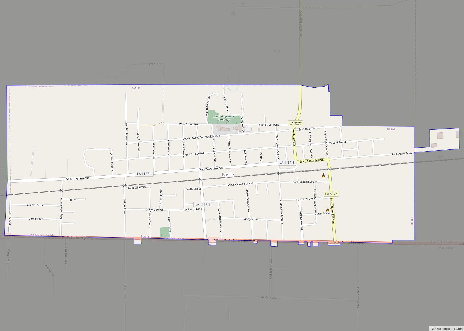
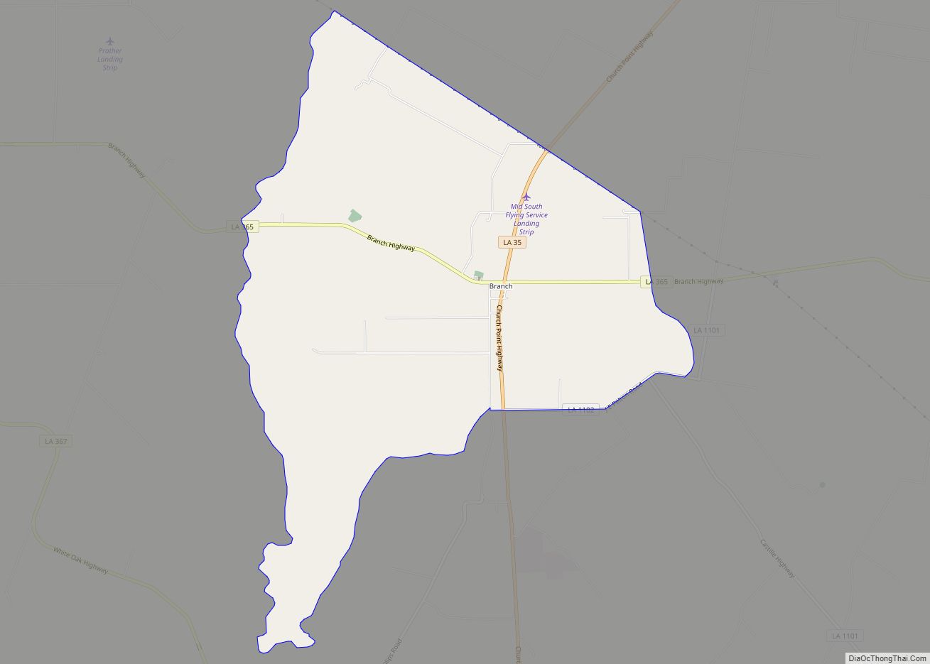
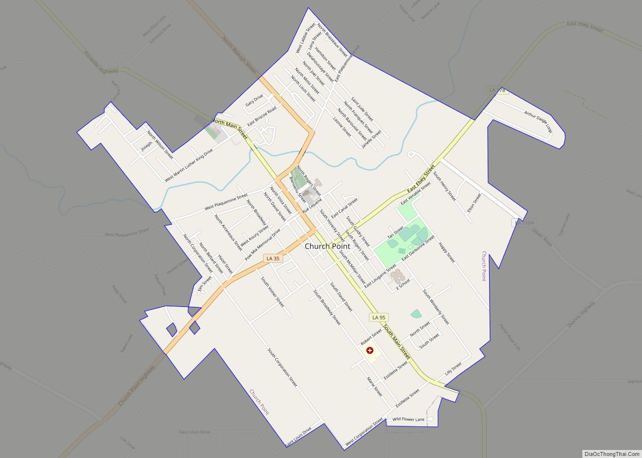
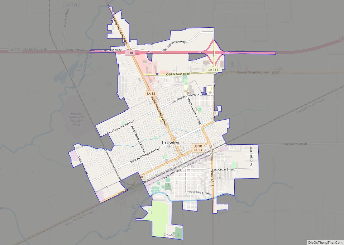
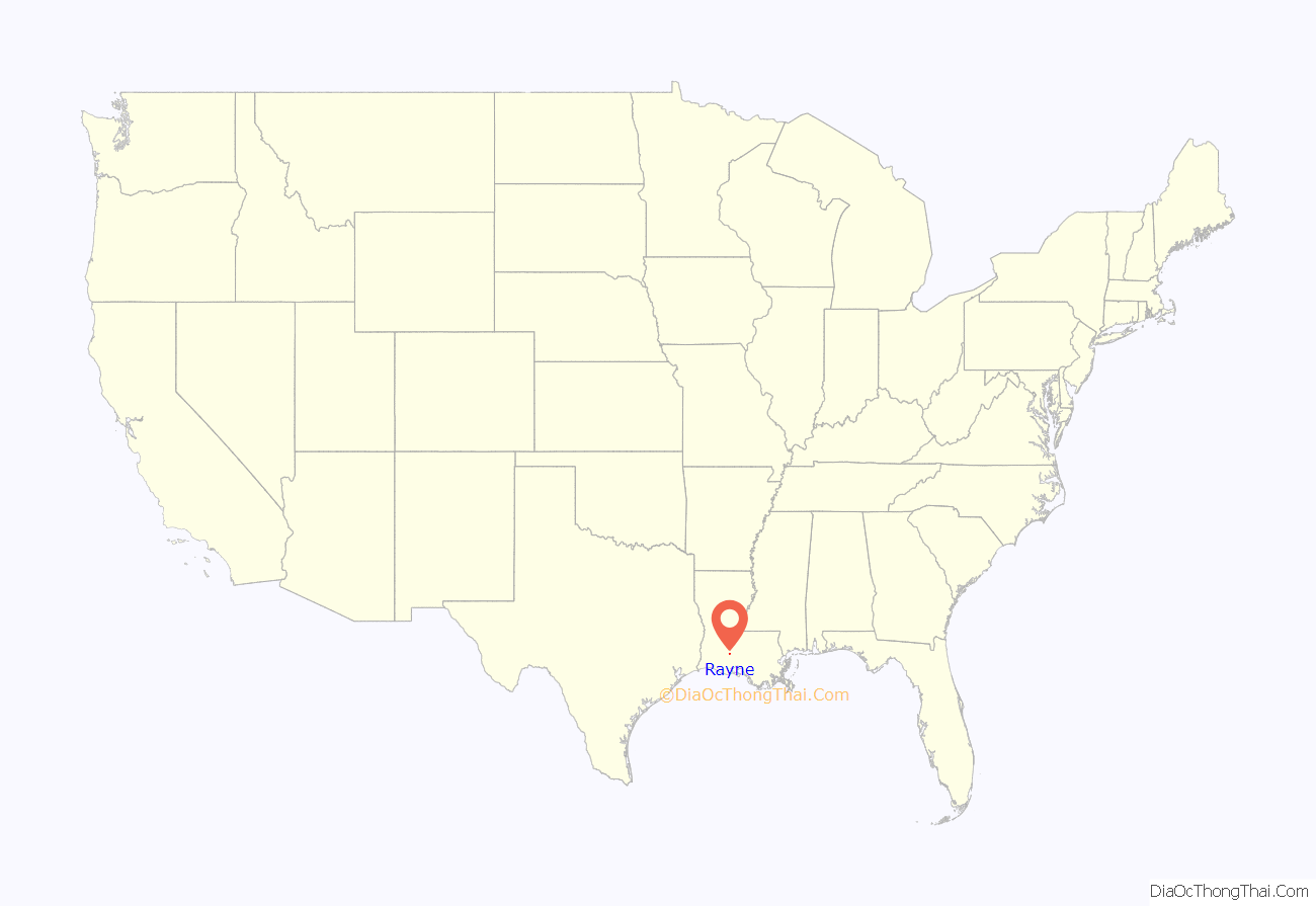
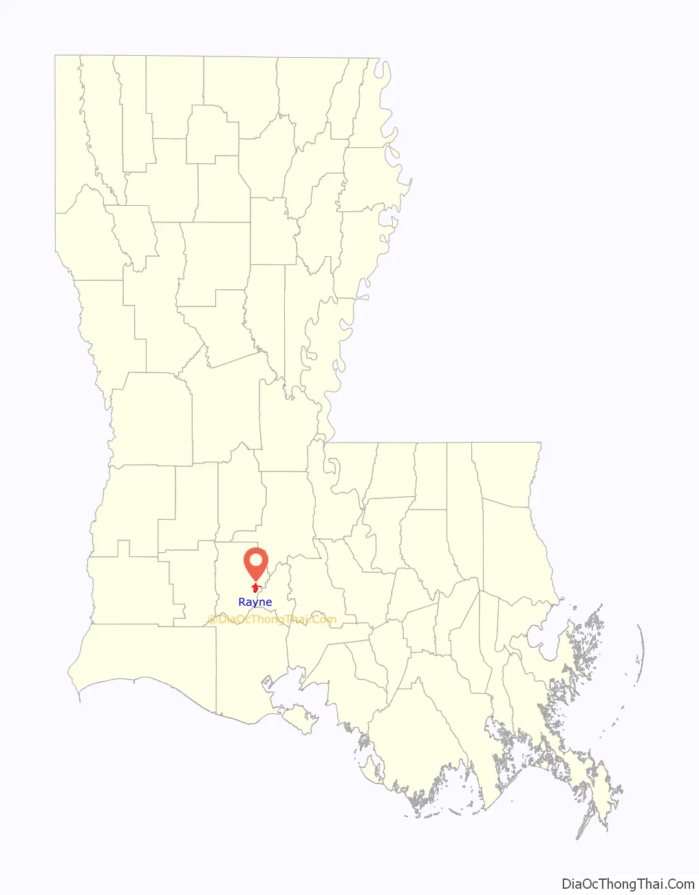
Rayne location map. Where is Rayne city?
History
An EF2 tornado hit Rayne on March 5, 2011, injuring at least twelve people and killing one person, leveling homes and causing natural gas leaks that prompted evacuations.
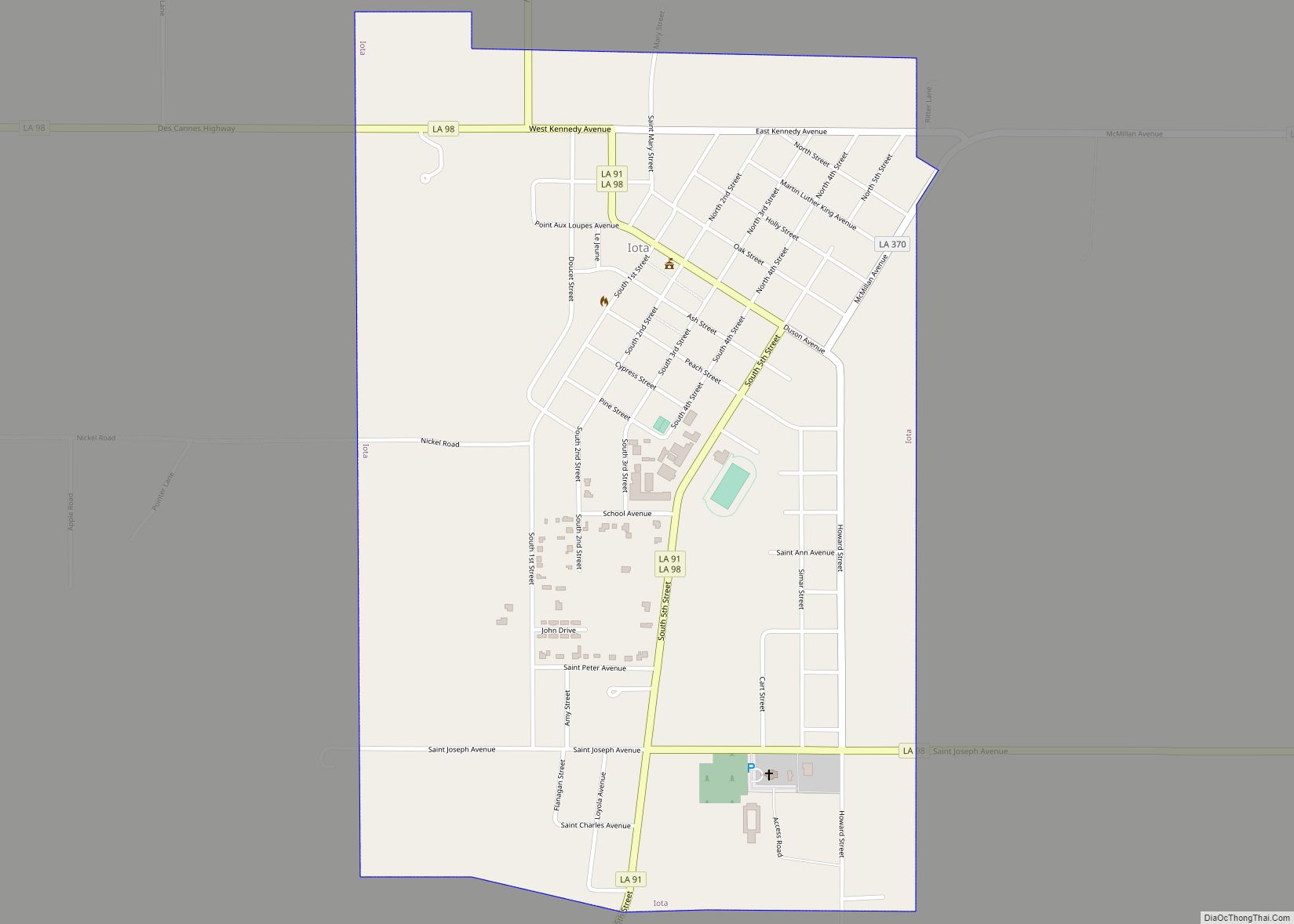
Rayne Road Map
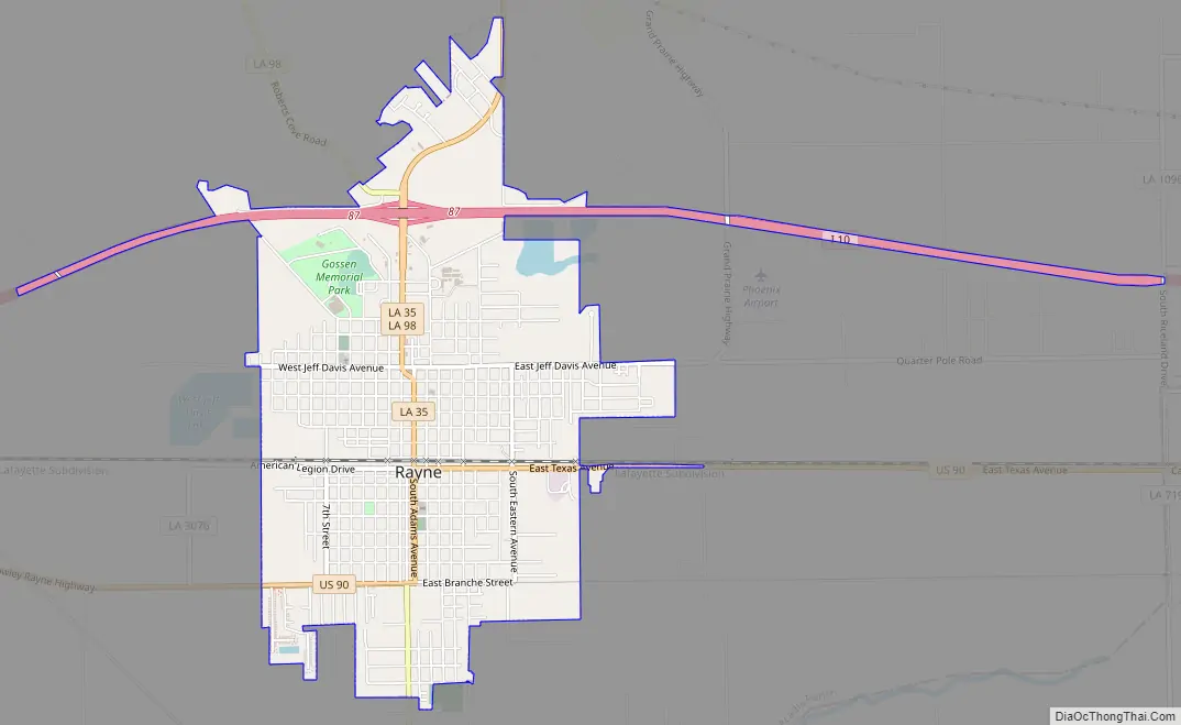
Rayne city Satellite Map
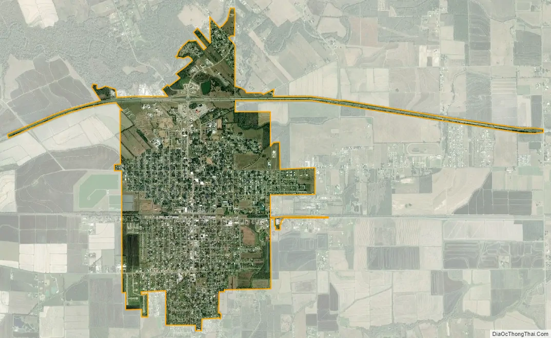
Geography
According to the United States Census Bureau, the city has a total area of 3.8 square miles (9.9 km), of which 0.0077 square miles (0.02 km), or 0.18%, is water. The city is located in Acadiana, and forms part of the Lafayette metropolitan area.
See also
Map of Louisiana State and its subdivision:- Acadia
- Allen
- Ascension
- Assumption
- Avoyelles
- Beauregard
- Bienville
- Bossier
- Caddo
- Calcasieu
- Caldwell
- Cameron
- Catahoula
- Claiborne
- Concordia
- De Soto
- East Baton Rouge
- East Carroll
- East Feliciana
- Evangeline
- Franklin
- Grant
- Iberia
- Iberville
- Jackson
- Jefferson
- Jefferson Davis
- La Salle
- Lafayette
- Lafourche
- Lincoln
- Livingston
- Madison
- Morehouse
- Natchitoches
- Orleans
- Ouachita
- Plaquemines
- Pointe Coupee
- Rapides
- Red River
- Richland
- Sabine
- Saint Bernard
- Saint Charles
- Saint Helena
- Saint James
- Saint John the Baptist
- Saint Landry
- Saint Martin
- Saint Mary
- Saint Tammany
- Tangipahoa
- Tensas
- Terrebonne
- Union
- Vermilion
- Vernon
- Washington
- Webster
- West Baton Rouge
- West Carroll
- West Feliciana
- Winn
- Alabama
- Alaska
- Arizona
- Arkansas
- California
- Colorado
- Connecticut
- Delaware
- District of Columbia
- Florida
- Georgia
- Hawaii
- Idaho
- Illinois
- Indiana
- Iowa
- Kansas
- Kentucky
- Louisiana
- Maine
- Maryland
- Massachusetts
- Michigan
- Minnesota
- Mississippi
- Missouri
- Montana
- Nebraska
- Nevada
- New Hampshire
- New Jersey
- New Mexico
- New York
- North Carolina
- North Dakota
- Ohio
- Oklahoma
- Oregon
- Pennsylvania
- Rhode Island
- South Carolina
- South Dakota
- Tennessee
- Texas
- Utah
- Vermont
- Virginia
- Washington
- West Virginia
- Wisconsin
- Wyoming