Map of Presque Isle city

Map of Presque Isle city

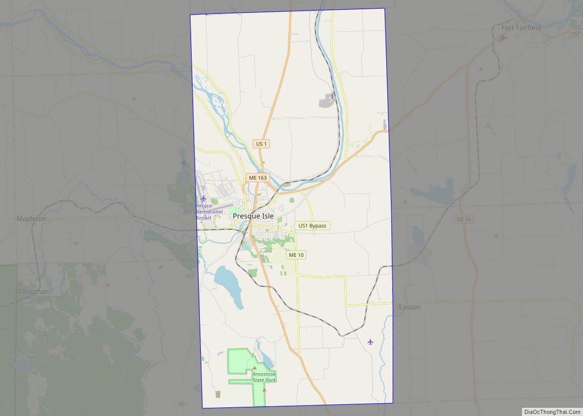
Presque Isle (/prɛsk/ PRESK) is the commercial center and largest city in Aroostook County, Maine, United States. The population was 8,797 at the 2020 Census. The city is home to the University of Maine at Presque Isle, Northern Maine Community College, Husson University Presque Isle, Northern Maine Fairgrounds, The Aroostook Centre Mall, and the Presque … Read more

Map of Pittsfield CDP, Maine

Map of Pittsfield CDP, Maine

Pittsfield is a census-designated place (CDP) in the town of Pittsfield in Somerset County, Maine, United States. The population was 3,217 at the 2000 census. Pittsfield CDP overview: Name: Pittsfield CDP LSAD Code: 57 LSAD Description: CDP (suffix) State: Maine County: Somerset County Elevation: 210 ft (64 m) Total Area: 9.61 sq mi (24.88 km²) Land Area: 9.40 sq mi (24.34 km²) Water … Read more

Map of Rumford CDP

Map of Rumford CDP

Rumford is a census-designated place (CDP) in the town of Rumford in Oxford County, Maine, United States. The population was 4,795 at the 2000 census. Rumford CDP overview: Name: Rumford CDP LSAD Code: 57 LSAD Description: CDP (suffix) State: Maine County: Oxford County Elevation: 482 ft (147 m) Total Area: 7.98 sq mi (20.68 km²) Land Area: 7.87 sq mi (20.38 km²) Water … Read more

Map of Rockland city, Maine

Map of Rockland city, Maine

Rockland is a city in Knox County, Maine, in the United States. As of the 2020 census, the town population was 6,936. It is the county seat of Knox County. The city is a popular tourist destination. It is a departure point for the Maine State Ferry Service to the islands of Penobscot Bay: Vinalhaven, … Read more

Map of Richmond CDP, Maine

Map of Richmond CDP, Maine

Richmond is a census-designated place (CDP) in the town of Richmond in Sagadahoc County, Maine. The population was 1,864 at the 2000 census. It is part of the Portland–South Portland–Biddeford, Maine Metropolitan Statistical Area. Richmond CDP overview: Name: Richmond CDP LSAD Code: 57 LSAD Description: CDP (suffix) State: Maine County: Sagadahoc County Elevation: 37 ft (121 m) … Read more

Map of Scarborough CDP

Map of Scarborough CDP

Oak Hill is a census-designated place (CDP) in the town of Scarborough in Cumberland County, Maine, United States. Prior to the 2020 census, the CDP was known as Scarborough. The population was 4,403 at the 2010 census. It is part of the Portland–South Portland–Biddeford, Maine Metropolitan Statistical Area. Scarborough CDP overview: Name: Scarborough CDP LSAD … Read more

Map of Sanford city, Maine

Map of Sanford city, Maine

Sanford is a city in York County, Maine, United States. The population was 21,982 in the 2020 census, making it the seventh largest municipality in the state. Situated on the Mousam River, Sanford includes the village of Springvale. The city features many lakes in wooded areas which attract campers. Sanford is part of the Portland–South … Read more

Map of Saco city

Map of Saco city, Maine

Saco /ˈsɑːkoʊ/ is a city in York County, Maine, United States. The population was 20,381 at the 2020 census. It is home to Ferry Beach State Park, Funtown Splashtown USA, Thornton Academy, as well as General Dynamics Armament Systems (also known by its former name, Saco Defense), a subsidiary of the defense contractor General Dynamics. … Read more

Map of Skowhegan CDP

Map of Skowhegan CDP

Skowhegan is a census-designated place (CDP) in the town of Skowhegan in Somerset County, Maine, in the United States. The population was 6,696 at the 2000 census. Skowhegan CDP overview: Name: Skowhegan CDP LSAD Code: 57 LSAD Description: CDP (suffix) State: Maine County: Somerset County Elevation: 171 ft (52 m) Total Area: 14.09 sq mi (36.49 km²) Land Area: 13.37 sq mi … Read more

Map of Searsport CDP

Map of Searsport CDP

Searsport is a census-designated place (CDP) in the town of Searsport in Waldo County, Maine, United States. The population was 1,102 at the 2000 census. Searsport CDP overview: Name: Searsport CDP LSAD Code: 57 LSAD Description: CDP (suffix) State: Maine County: Waldo County Elevation: 46 ft (14 m) Total Area: 5.34 sq mi (13.83 km²) Land Area: 4.35 sq mi (11.27 km²) Water … Read more

Map of Standish CDP

Map of Standish CDP, Maine

Standish, known locally as Standish Corner, is a census-designated place (CDP) in the town of Standish in Cumberland County, Maine, United States. The population was 469 at the 2010 census. It is part of the Portland–South Portland–Biddeford, Maine Metropolitan Statistical Area. Standish CDP overview: Name: Standish CDP LSAD Code: 57 LSAD Description: CDP (suffix) State: … Read more

Map of Southwest Harbor CDP

Map of Southwest Harbor CDP

Southwest Harbor is a census-designated place (CDP) in the town of Southwest Harbor in Hancock County, Maine, United States. The CDP population was 720 at the 2010 census, out of 1,764 people in the town as a whole. Southwest Harbor CDP overview: Name: Southwest Harbor CDP LSAD Code: 57 LSAD Description: CDP (suffix) State: Maine … Read more