Presque Isle (/prɛsk/ PRESK) is the commercial center and largest city in Aroostook County, Maine, United States. The population was 8,797 at the 2020 Census. The city is home to the University of Maine at Presque Isle, Northern Maine Community College, Husson University Presque Isle, Northern Maine Fairgrounds, The Aroostook Centre Mall, and the Presque Isle International Airport.
Presque Isle is the headquarters of the Aroostook Band of Micmac, a federally recognized tribe.
| Name: | Presque Isle city |
|---|---|
| LSAD Code: | 25 |
| LSAD Description: | city (suffix) |
| State: | Maine |
| County: | Aroostook County |
| Elevation: | 456 ft (139 m) |
| Total Area: | 77.60 sq mi (200.99 km²) |
| Land Area: | 75.78 sq mi (196.27 km²) |
| Water Area: | 1.82 sq mi (4.72 km²) |
| Total Population: | 8,797 |
| Population Density: | 116.09/sq mi (44.82/km²) |
| ZIP code: | 04769 |
| Area code: | 207 |
| FIPS code: | 2360825 |
| GNISfeature ID: | 0573790 |
| Website: | presqueislemaine.gov |
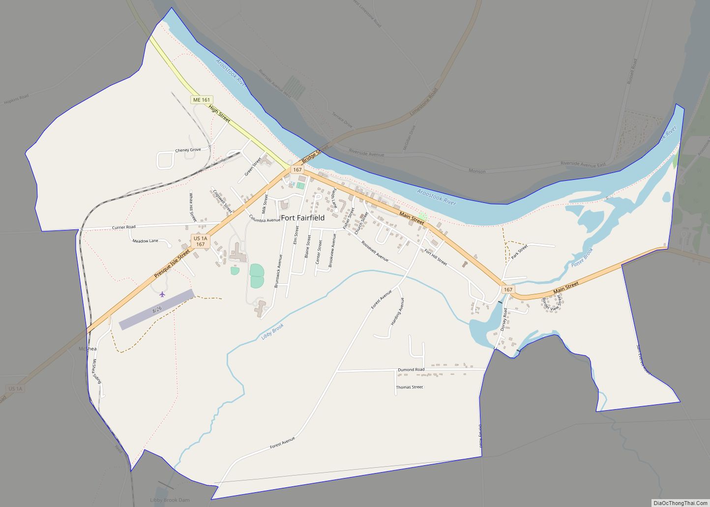
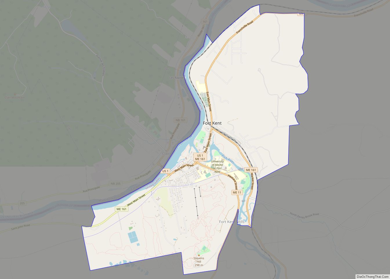
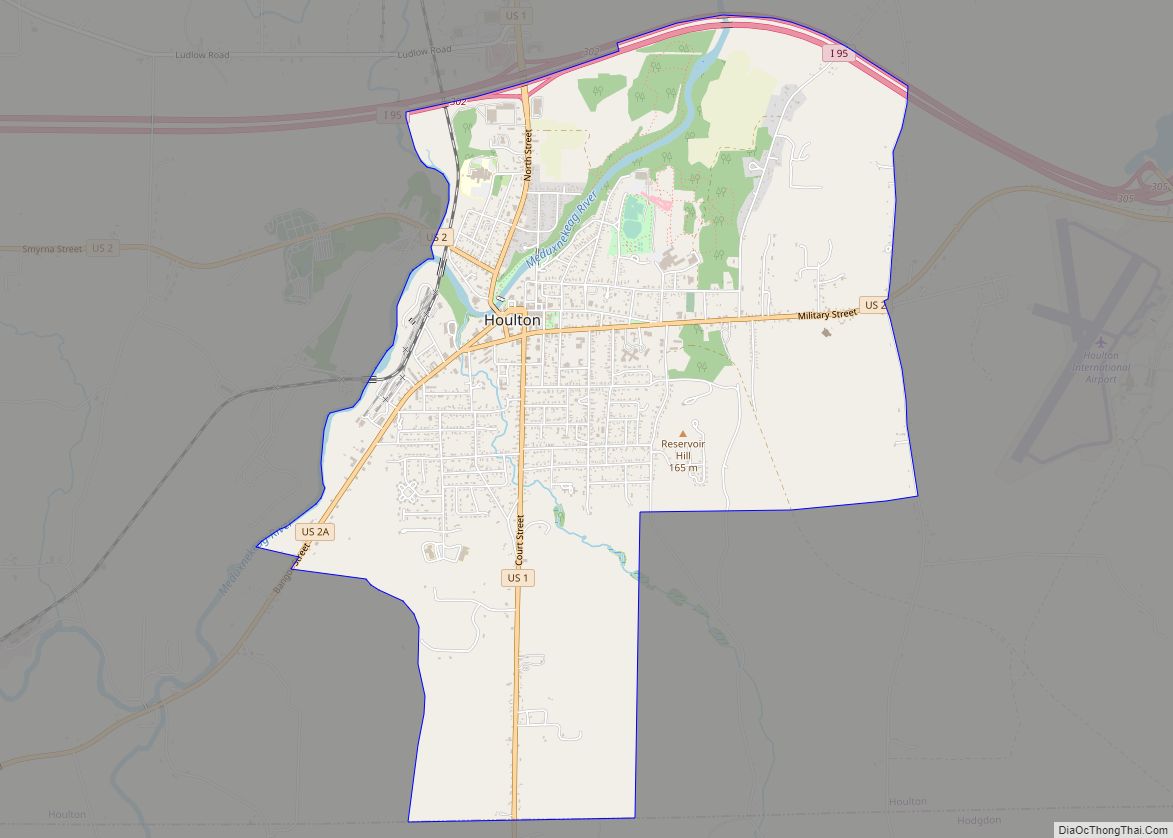
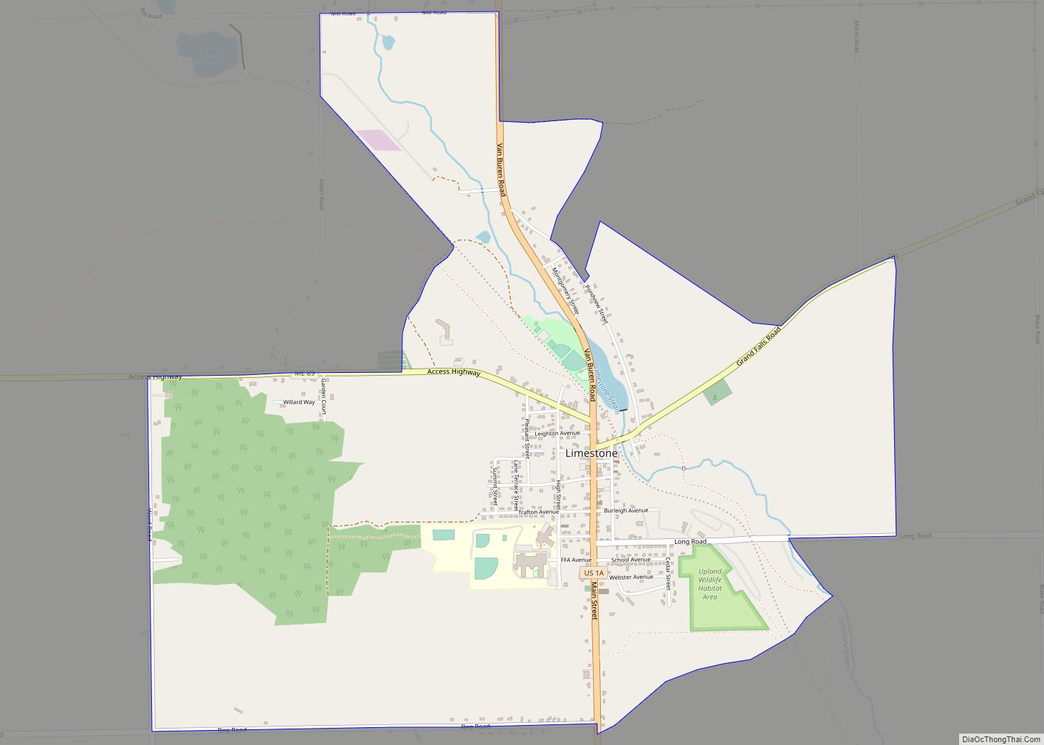
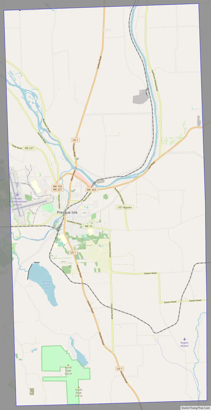
Online Interactive Map
Click on ![]() to view map in "full screen" mode.
to view map in "full screen" mode.
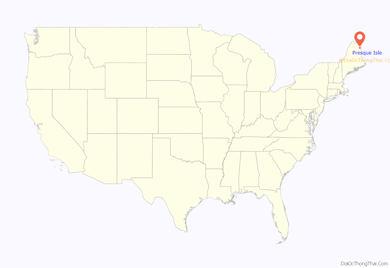
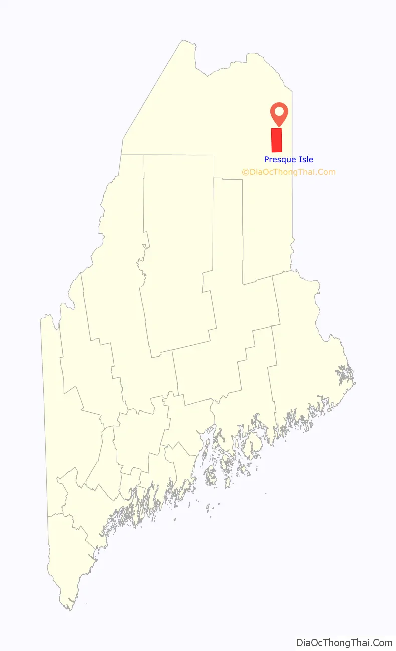
Presque Isle location map. Where is Presque Isle city?
History
The first European settlers were British Loyalists who reached the area in 1819 hoping to obtain land for lumber. Border disputes between the United States and the United Kingdom over the area, however, made it impossible for pioneers to gain title to the land. In response, the government of the neighboring British colony of New Brunswick (now a Canadian province) gave out patents for pioneers to live on the land but not claim ownership or sell it. By 1825, surveyors traveling along the Aroostook River noted that twenty families lived along it and noted that while agriculture was present, all of the families employed most of their time towards wood production.
The boundary dispute slowed development in the area, but the government of Massachusetts, which governed the territory at the time, saw the territory as theirs and encouraged the development of settlements in northern Maine by offering land grants and mill privileges in the 1820s. The first American to settle in the area was Dennis Fairbanks in 1828 who gained ownership over the land under the provisions set up by Massachusetts and later Maine, which gained statehood in 1820.
Name and incorporation
Originally known as Fairbanks for its founder Dennis Fairbanks, Presque Isle was settled in 1828 on land that was unknown to be part of British North America (Canada) or the United States. The Aroostook War broke out in 1838 because of boundary disputes between the two countries, which were resolved in 1842 by the Webster-Ashburton Treaty. The township was incorporated from Plantations F, G and H on April 4, 1859, as Presque Isle, derived from the French term for peninsula (presqu’île), as the courses of the Aroostook River and Presque Isle Stream form a peninsula. In 1864, Fairmount Cemetery was established in the south of Presque Isle to accommodate Union soldiers returning from the Civil War. In 1883, the town of Maysville was annexed.
On January 1, 1940, Presque Isle was incorporated as a city.
Industry, agriculture and transportation
The first industry to form in Presque Isle was the lumber industry. By the 1880s, industry included two lumbermills, a gristmill, a wool carding mill, a furniture factory, a carriage factory and a tinware factory.
During the last 30 years of the 19th century, agriculture became important, and the entire county became noted for its production of potatoes. On October 9, 1851, the first Northern Maine Fair exhibition opened. A starch factory was opened in 1874, providing a ready market for local potatoes. In 1914 the Aroostook Farm was purchased as a Maine Agricultural Experiment Station.
In 1881, the New Brunswick Railway created the first rail connection in Presque Isle. The Bangor and Aroostook Railroad arrived in 1895.
A small airport was established in 1931. It was expanded within the decade and later assumed major military importance. The Presque Isle Air Force Base, in operation between 1941 and 1961, was a major departure point for U.S. fighter planes during World War II and the Korean War due to its relative proximity to Europe. When the base was sold, a piece of it became the Northern Maine Regional Airport. In June 2018, the Northern Maine Regional Airport was renamed Presque Isle International Airport.
Beginning on July 2, 2018, United Airlines began service from the Presque Isle International Airport in Presque Isle, Maine to Newark Liberty International Airport in Newark, New Jersey. These flights are federally subsidized through the Essential Air Service (EAS) program, and are operated by United Express carrier, GoJet Airlines.
Colleges and universities
In 1903, the Aroostook State Normal School began offering a two-year teacher preparation program. In 1968, it was renamed the University of Maine at Presque Isle. Northern Maine Technical College was established in 1961, now Northern Maine Community College. The first students entered the college in 1963. Today it serves about 2000 students.
Hospitals
The first Presque Isle Hospital was established on April 8, 1912. Four physicians were affiliated with the hospital, whose dual aims were to serve the community and to provide a training school for nurses. The building was a white-frame structure, enlarged from a home under construction. The need and demand for the hospital increased so rapidly that in 1921 a new three-story brick hospital was dedicated. This hospital was in operation for nearly four decades, when it, too, proved inadequate. A major fundraising campaign was launched in the late 1950s. After a large donation was given by Mr. and Mrs. W. H. Wildes, the daughter of the late Senator Arthur Gould, the Arthur R. Gould Memorial Hospital was constructed and opened in 1960. The hospital has expanded and been modernized in recent years and in 1981 became a part of The Aroostook Medical Center.
The Double Eagle II
On August 11, 1978, the Double Eagle II was launched from a Presque Isle field carrying three passengers. It made the first successful transatlantic balloon crossing. In honor of the Double Eagle II, the city holds an annual celebration called The Crown of Maine Balloon Festival. The popular event includes balloon rides, plane tours, amateur photo contests and children’s fair rides. Sponsored by the Chamber of Commerce and other local organizations, it is held in late August. The field from which the Double Eagle II lifted off now features a commemorative model balloon.
All American City
Presque Isle was named an All American City in 1966.
Historic images
Potato harvesting in 1909
Greenlaw Block c. 1912
Old opera house c. 1912
Presque Isle General Hospital mid 1910s
Presque Isle Road Map
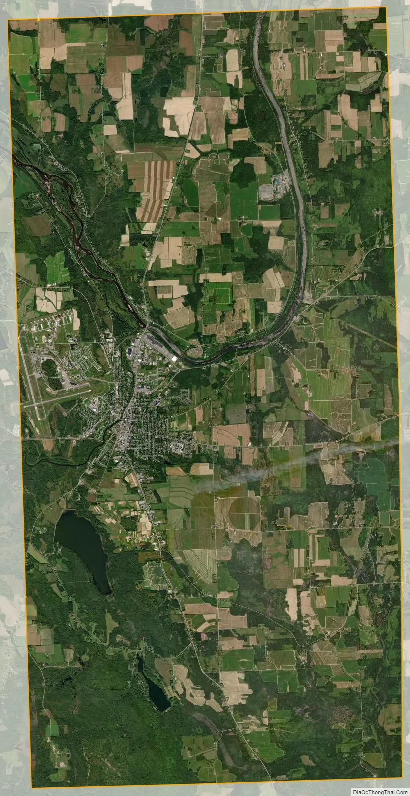
Presque Isle city Satellite Map
Geography
Presque Isle is located at 46°40′46″N 68°0′8″W / 46.67944°N 68.00222°W / 46.67944; -68.00222 (46.679321, −68.002166).
According to the United States Census Bureau, the city has a total area of 77.60 square miles (200.98 km), of which 75.76 square miles (196.22 km) is land and 1.84 square miles (4.77 km) is water. Presque Isle is drained by the Aroostook River and Presque Isle Stream (also called Prestile Stream).
Presque Isle has a humid continental climate (Köppen: Dfb) typified by long cold winters and short warm summers.
Presque Isle is the driest city in Maine, with an annual precipitation of 38.5 in (980 mm).
See also
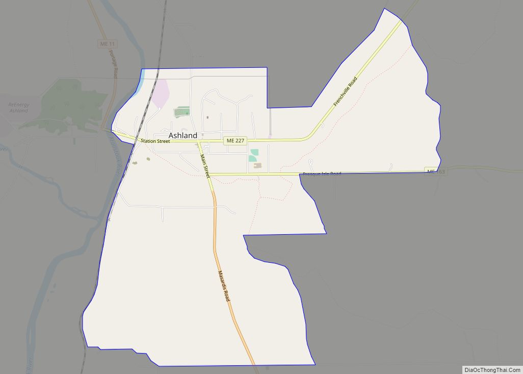
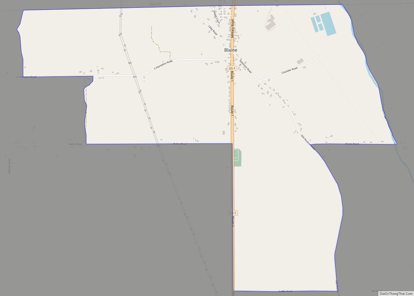
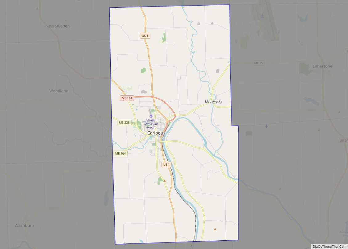
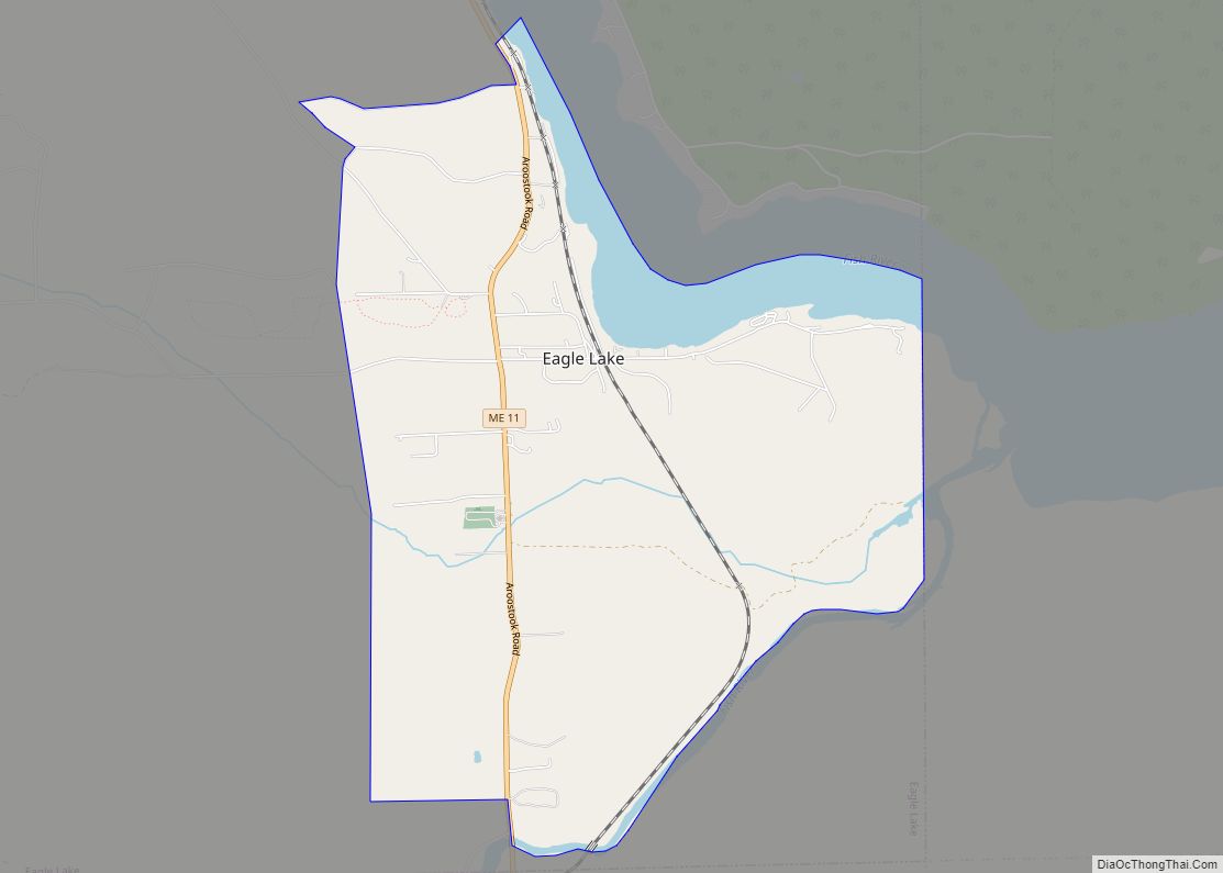
Map of Maine State and its subdivision: Map of other states:- Alabama
- Alaska
- Arizona
- Arkansas
- California
- Colorado
- Connecticut
- Delaware
- District of Columbia
- Florida
- Georgia
- Hawaii
- Idaho
- Illinois
- Indiana
- Iowa
- Kansas
- Kentucky
- Louisiana
- Maine
- Maryland
- Massachusetts
- Michigan
- Minnesota
- Mississippi
- Missouri
- Montana
- Nebraska
- Nevada
- New Hampshire
- New Jersey
- New Mexico
- New York
- North Carolina
- North Dakota
- Ohio
- Oklahoma
- Oregon
- Pennsylvania
- Rhode Island
- South Carolina
- South Dakota
- Tennessee
- Texas
- Utah
- Vermont
- Virginia
- Washington
- West Virginia
- Wisconsin
- Wyoming