Rockland is a city in Knox County, Maine, in the United States. As of the 2020 census, the town population was 6,936. It is the county seat of Knox County. The city is a popular tourist destination. It is a departure point for the Maine State Ferry Service to the islands of Penobscot Bay: Vinalhaven, North Haven and Matinicus.
| Name: | Rockland city |
|---|---|
| LSAD Code: | 25 |
| LSAD Description: | city (suffix) |
| State: | Maine |
| County: | Knox County |
| Elevation: | 23 ft (7 m) |
| Total Area: | 15.08 sq mi (39.05 km²) |
| Land Area: | 12.85 sq mi (33.28 km²) |
| Water Area: | 2.23 sq mi (5.77 km²) |
| Total Population: | 6,936 |
| Population Density: | 539.81/sq mi (208.42/km²) |
| ZIP code: | 04841 |
| Area code: | 207 |
| FIPS code: | 2363590 |
| GNISfeature ID: | 0574358 |
| Website: | rocklandmaine.gov |
Online Interactive Map
Click on ![]() to view map in "full screen" mode.
to view map in "full screen" mode.
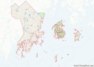
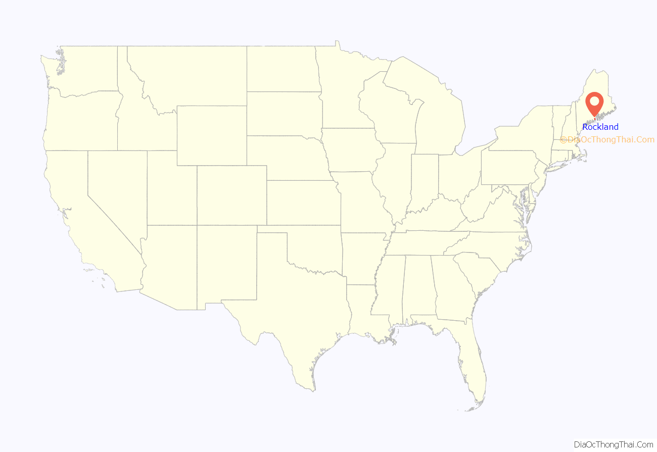
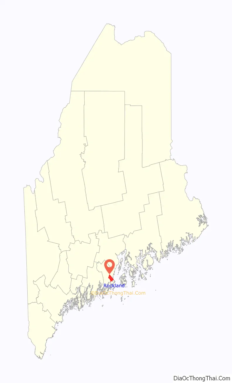
Rockland location map. Where is Rockland city?
History
Abenaki Indigenous People called it Catawamteak, meaning “great landing place.” In 1767, John Lermond and his two brothers from Warren built a camp to produce oak staves and pine lumber. Thereafter known as Lermond’s Cove, it was first settled about 1769. When in 1777 Thomaston was incorporated, Lermond’s Cove became a district called Shore village. On July 28, 1848, it was set off as the town of East Thomaston. Renamed Rockland in 1850, it was chartered as a city in 1854.
Rockland developed rapidly because of shipbuilding and lime production. In 1854 alone, the city built eleven ships, three barks, six brigs and four schooners. The city had twelve lime quarries and 125 lime kilns, with upwards of 300 vessels to transport the mineral to various ports in the country.
In March 1877, the Granite Cutters’ International Union was formed in Rockland. It was one of the earliest craft unions in the United States and formed among the region’s growing granite industry.
By 1886, shipbuilding was surpassed by the lime business, which had twelve manufacturers employing 1,000 workers. Nevertheless, Rockland had three or more shipyards, a marine railway, five sail lofts and two boatbuilders. Other industries included three grain mills, two foundries, three carriage factories, six lumber mills, two machine shops, three cooperies, one tannery, four granite and marble works, two boot and shoe factories, and four printing offices. Fishing was also important. Fleets of Friendship Sloops sailed between the harbor and fishing grounds across Penobscot Bay.
The opening of the Knox and Lincoln Railroad in 1871 brought an influx of tourists. Inns and hotels were established to accommodate them, with the grandest being The Bay Point Hotel in 1889. With a commanding view near the breakwater, the resort offered every luxury and amusement. Renamed The Samoset Hotel in 1902, it was successful until the Great Depression, which began a slow decline. In the age of automobiles, travelers were no longer restricted to the limits of train service, but were free to explore elsewhere. Closed in 1969, the Victorian hotel burned in 1972. A new Samoset Resort opened in 1974.
In 1915, the new superdreadnought USS Nevada (BB-36) conducted tests and completed her running trials just off the shore from Rockland.
Today, Rockland is an officially designated micropolitan area. Since the early 1990s, Rockland has seen a shift in its economy away from the fishery and toward a service center city. It has also seen a substantial increase in tourism and the downtown has transformed into one of unique shops, boutiques, fine dining and art galleries. Rockland is the commercial center of the midcoast Maine region, with many historic inns, a coffee roaster, a food co-op, a community radio station WRFR-LP, the Farnsworth Art Museum and the Center for Maine Contemporary Art (CMCA). Rockland was named a Coast Guard City in March 2008, in recognition of the long-standing and special relationship that the city and its residents have with the United States Coast Guard. On March 13, 2017, the Rockland City Council approved a resolve to support community diversity.
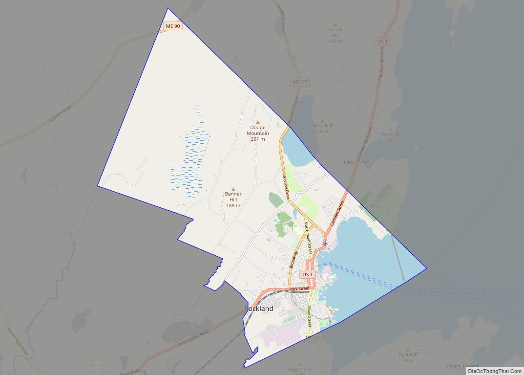
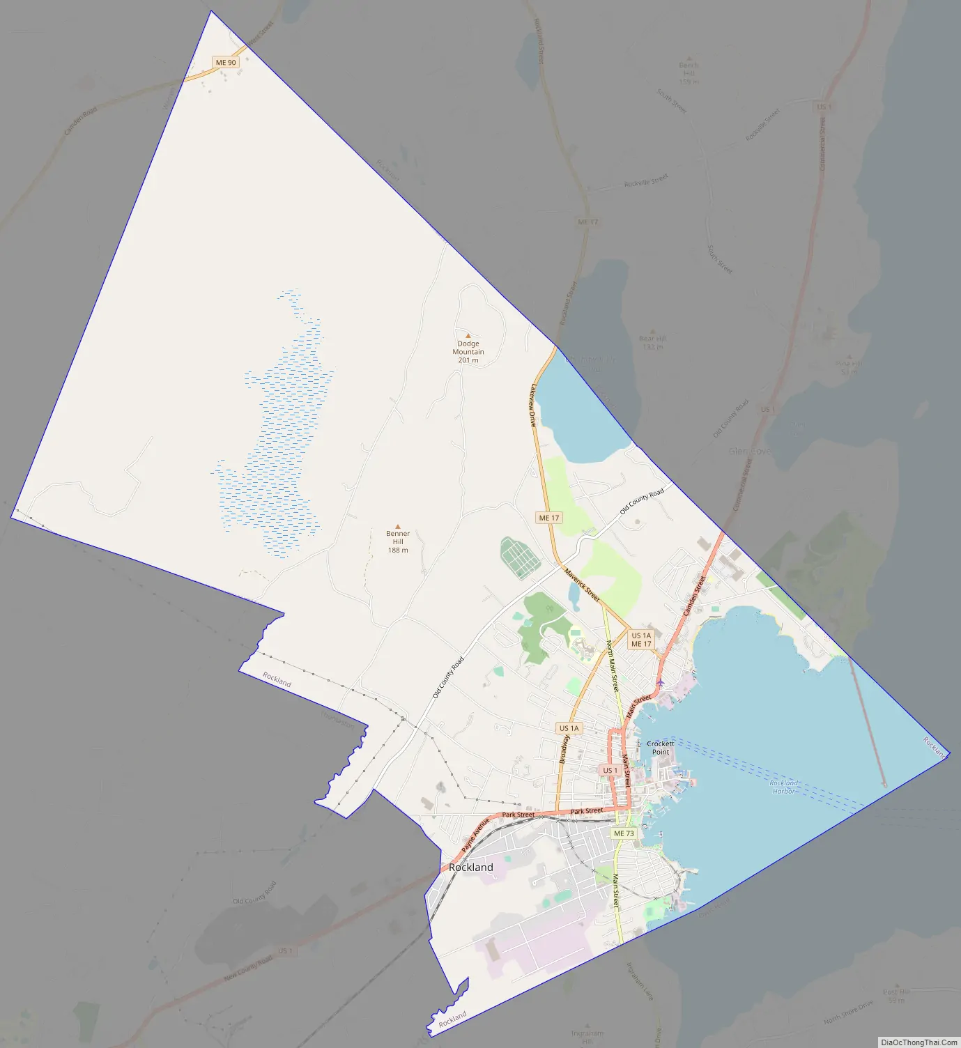
Rockland Road Map
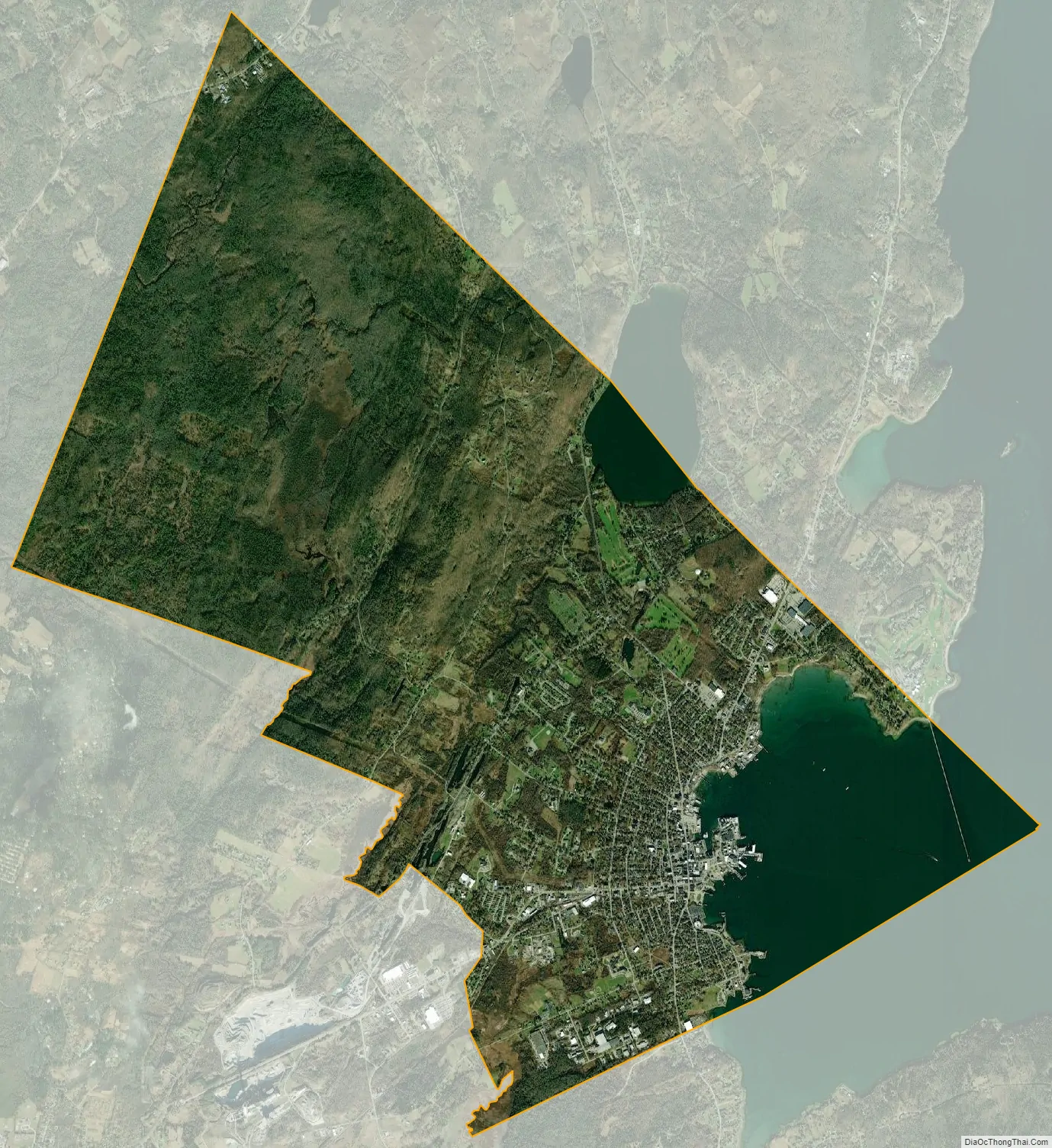
Rockland city Satellite Map
Geography
According to the United States Census Bureau, the city has a total area of 15.07 square miles (39.03 km), of which 12.84 square miles (33.26 km) is land and 2.23 square miles (5.78 km) is water. Rockland is located on Penobscot Bay and the Gulf of Maine, part of the Atlantic Ocean. About ten miles to the east are the islands of North Haven and Vinalhaven, reached by ferry from Rockland.
Rockland is crossed by U.S. 1 and 1A, and state routes 17, 73 and 90. It borders the towns of Owls Head to the southeast, Thomaston to the southwest, Warren to the northwest, and Rockport to the northeast.
Climate
The coldest month is January and the warmest month is July.
See also
Map of Maine State and its subdivision: Map of other states:- Alabama
- Alaska
- Arizona
- Arkansas
- California
- Colorado
- Connecticut
- Delaware
- District of Columbia
- Florida
- Georgia
- Hawaii
- Idaho
- Illinois
- Indiana
- Iowa
- Kansas
- Kentucky
- Louisiana
- Maine
- Maryland
- Massachusetts
- Michigan
- Minnesota
- Mississippi
- Missouri
- Montana
- Nebraska
- Nevada
- New Hampshire
- New Jersey
- New Mexico
- New York
- North Carolina
- North Dakota
- Ohio
- Oklahoma
- Oregon
- Pennsylvania
- Rhode Island
- South Carolina
- South Dakota
- Tennessee
- Texas
- Utah
- Vermont
- Virginia
- Washington
- West Virginia
- Wisconsin
- Wyoming