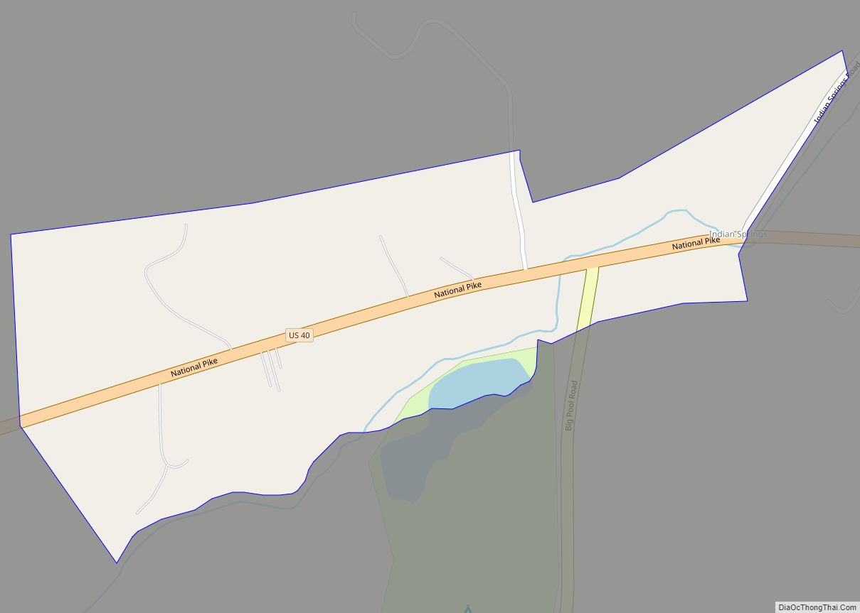
Indian Springs is an unincorporated community in western Washington County, Maryland, United States. Its population was 64 as of the 2010 census. Indian Springs CDP overview: Name: Indian Springs CDP LSAD Code: 57 LSAD Description: CDP (suffix) State: Maryland County: Washington County Elevation: 545 ft (166 m) Total Area: 0.12 sq mi (0.30 km²) Land Area: 0.12 sq mi (0.30 km²) Water Area: ... Read more
Maryland Cities and Places
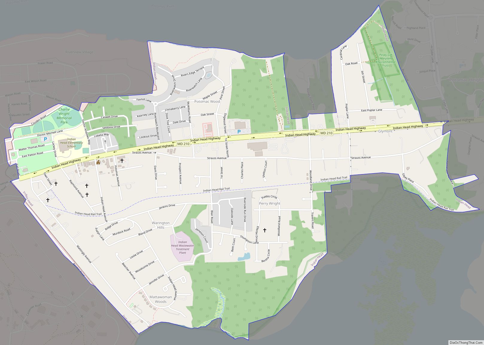
Indian Head is a town in Charles County, Maryland, United States. The population was 3,894 at the 2020 U.S. Census. It has been the site of a naval base specializing in gun and rocket propellants since 1890. Production of nitrocellulose and smokeless powder began at the Indian Head Powder Factory in 1900. The name of ... Read more
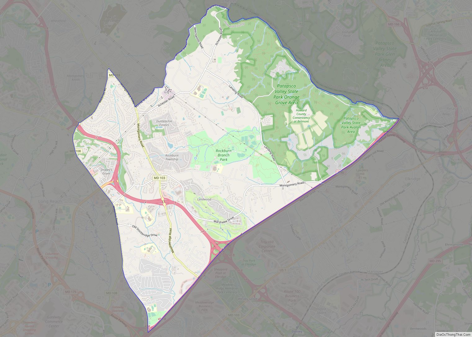
Ilchester is an unincorporated community and census-designated place in Howard County, Maryland, United States. The population was 23,476 at the 2010 census. It was named after the village of Ilchester in the English county of Somerset. Ilchester CDP overview: Name: Ilchester CDP LSAD Code: 57 LSAD Description: CDP (suffix) State: Maryland County: Howard County Elevation: ... Read more
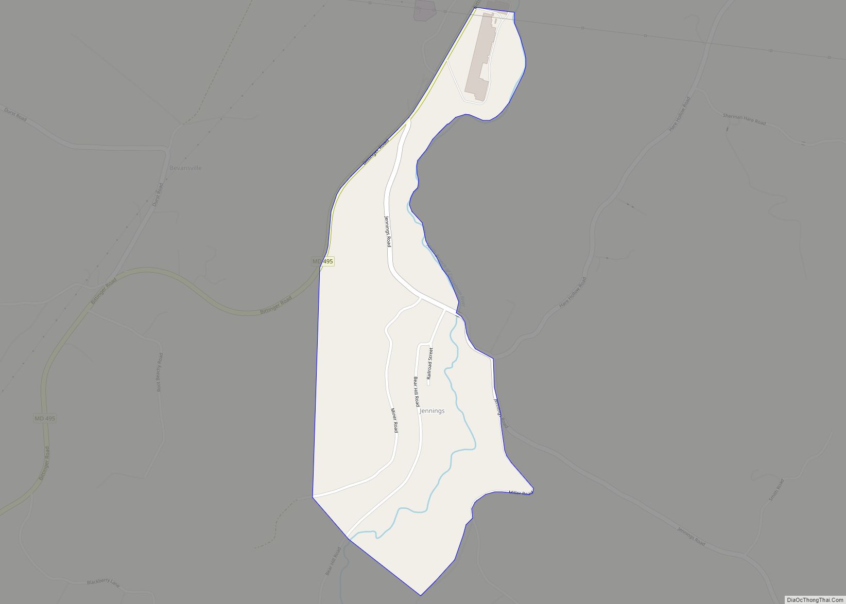
Jennings is an unincorporated area and census-designated place (CDP) in Garrett County, Maryland, United States. At the 2010 census, the population was 113. The community is in northern Garrett County on Maryland Route 495, 4 miles (6 km) south of Grantsville and 25 miles (40 km) northeast of Oakland, the county seat. Jennings is in the valley ... Read more
Jefferson is an unincorporated community and census-designated place (CDP) in Frederick County, Maryland, United States. As of the 2020 census the town had a population of 2,235 (which includes the widespread area of the town’s zip code, not Jefferson proper). Jefferson was established in 1774 and incorporated as a town in 1831. However, a year ... Read more
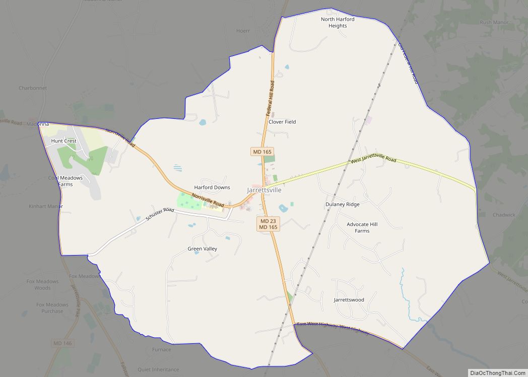
Jarrettsville is an unincorporated community and census-designated place (CDP) in Harford County, Maryland, United States. The population was 2,888 at the 2020 census. Jarrettsville CDP overview: Name: Jarrettsville CDP LSAD Code: 57 LSAD Description: CDP (suffix) State: Maryland County: Harford County Elevation: 669 ft (204 m) Total Area: 8.66 sq mi (22.43 km²) Land Area: 8.63 sq mi (22.37 km²) Water Area: 0.03 sq mi ... Read more
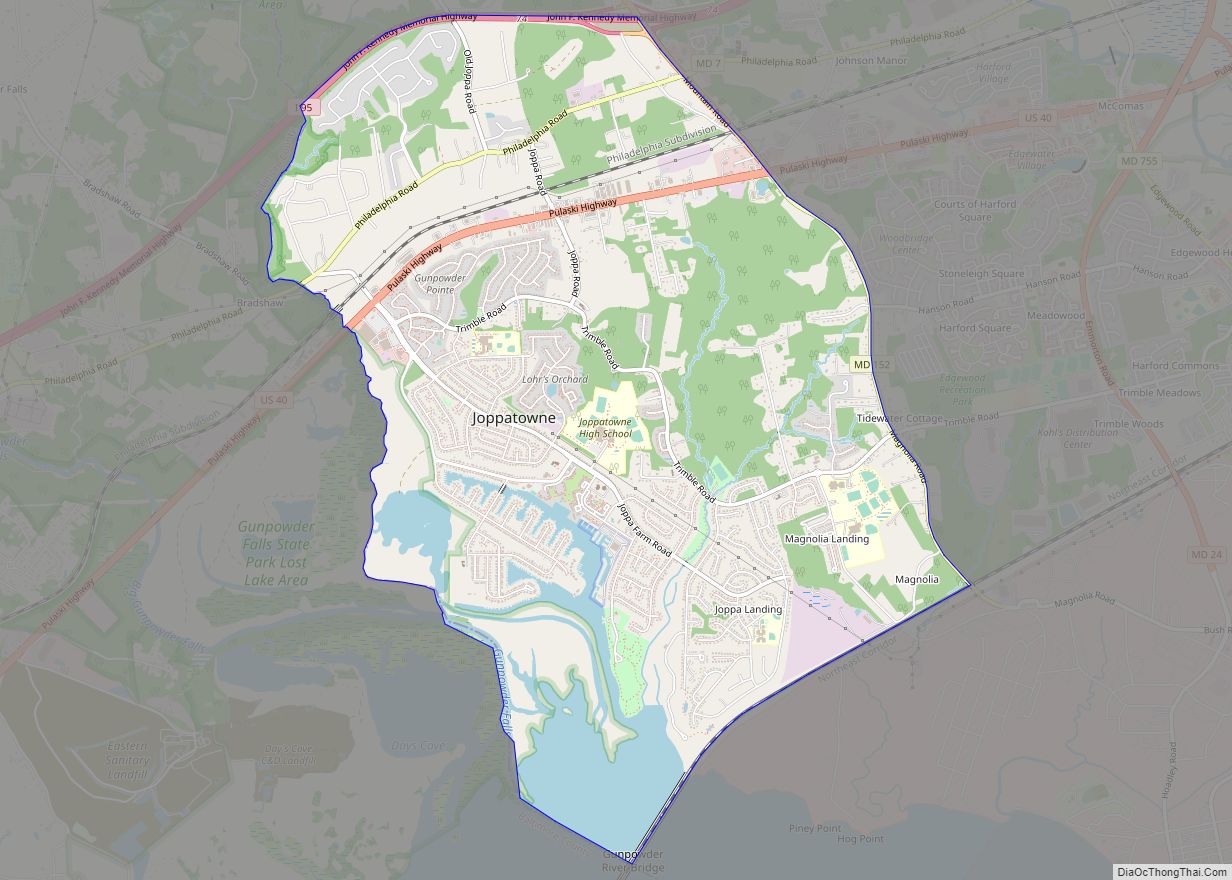
Joppatowne is a census-designated place in southwestern Harford County, Maryland, United States. Serving as a bedroom community for nearby Baltimore, it was established in 1961 as a planned unit development (PUD). The population was 12,616 at the 2010 census, up from 11,391 in 2000. Joppatowne is covered by the “Joppa” ZIP Code of 21085, and ... Read more
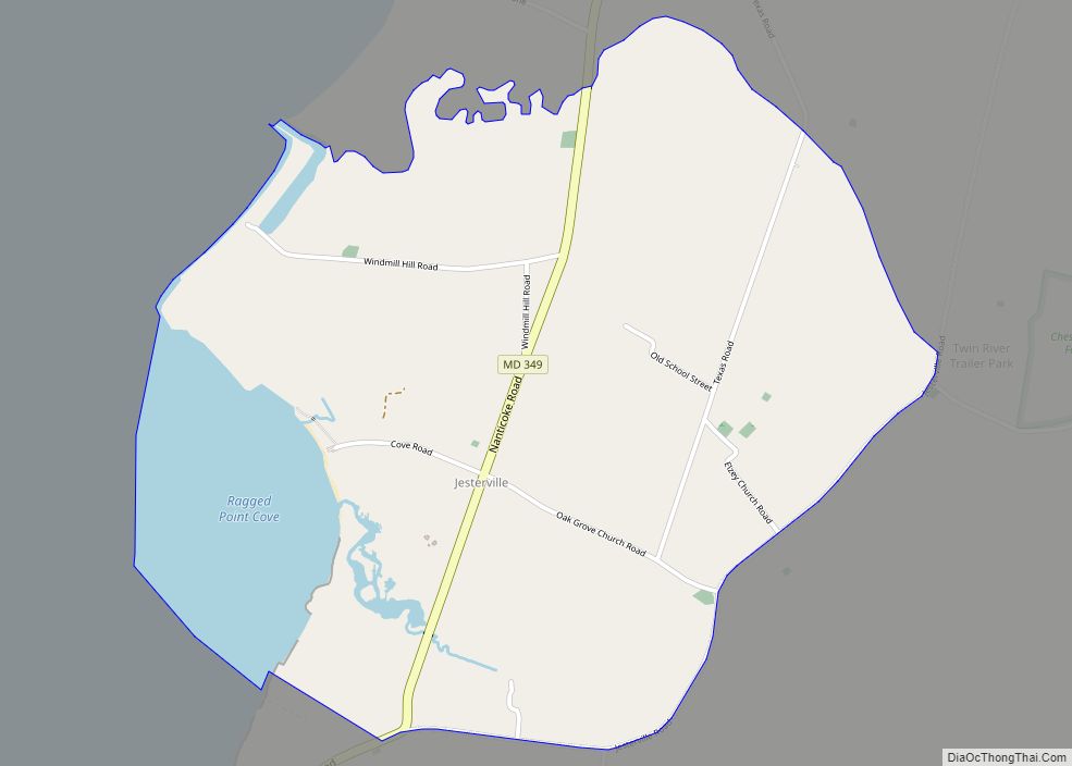
Jesterville is an unincorporated community and census-designated place in Wicomico County, Maryland, United States. Its population was 188 as of the 2010 census. It is part of the Salisbury, Maryland-Delaware Metropolitan Statistical Area. Jesterville CDP overview: Name: Jesterville CDP LSAD Code: 57 LSAD Description: CDP (suffix) State: Maryland County: Wicomico County Elevation: 10 ft (3 m) Total ... Read more
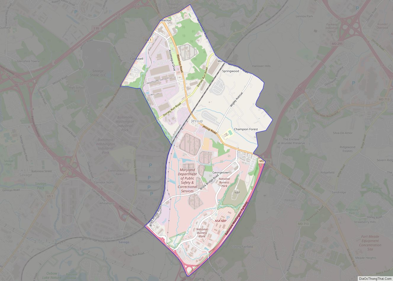
Jessup (/ˈdʒɛsəp/ JESS-əp) is an unincorporated community and census-designated place in Howard and Anne Arundel counties, about 15 miles (24 km) southwest of Baltimore, Maryland, United States. Per the 2020 census, the population was 10,535. Jessup CDP overview: Name: Jessup CDP LSAD Code: 57 LSAD Description: CDP (suffix) State: Maryland County: Anne Arundel County, Howard County ... Read more
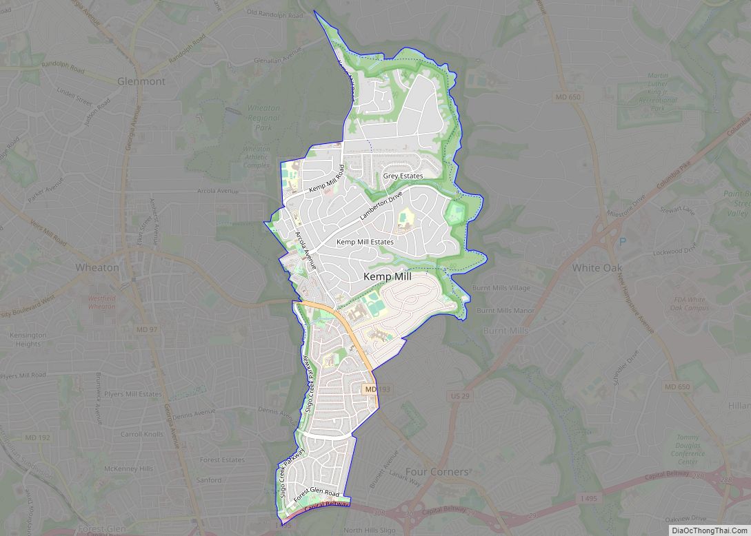
Kemp Mill is a census-designated place and an unincorporated census area in Montgomery County, Maryland, United States. The population was 13,378 at the 2020 census. Kemp Mill census area consists of the separate communities of Kemp Mill Estates and Kemp Mill Farms. Kemp Mill CDP overview: Name: Kemp Mill CDP LSAD Code: 57 LSAD Description: ... Read more
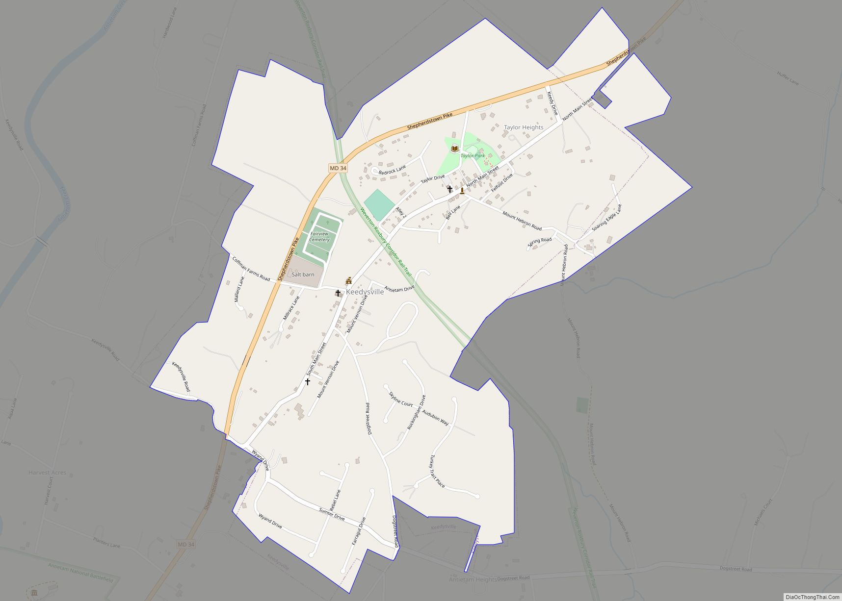
Keedysville is a town in Washington County, Maryland, United States. The population was 1,152 at the 2010 census. Keedysville town overview: Name: Keedysville town LSAD Code: 43 LSAD Description: town (suffix) State: Maryland County: Washington County Incorporated: 1872 Elevation: 394 ft (120 m) Total Area: 0.91 sq mi (2.35 km²) Land Area: 0.91 sq mi (2.35 km²) Water Area: 0.00 sq mi (0.00 km²) Total Population: ... Read more
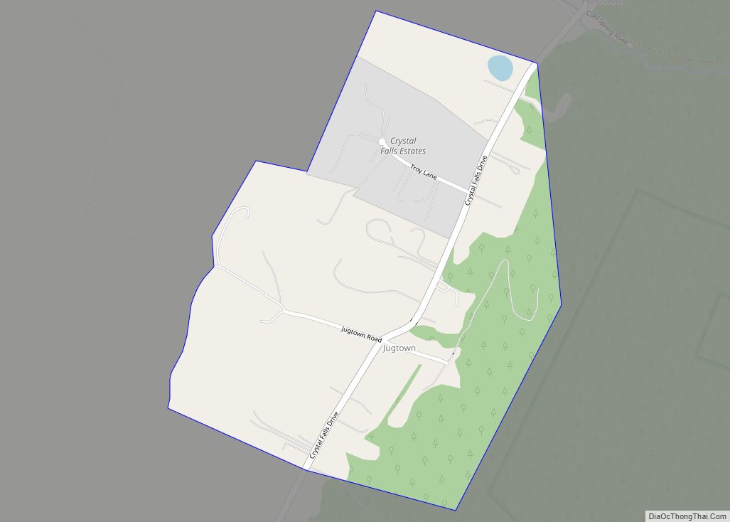
Jugtown is an unincorporated community and census-designated place in Washington County, Maryland, United States. Its population was 204 as of the 2010 census. Jugtown CDP overview: Name: Jugtown CDP LSAD Code: 57 LSAD Description: CDP (suffix) State: Maryland County: Washington County Elevation: 755 ft (230 m) Total Area: 0.33 sq mi (0.86 km²) Land Area: 0.33 sq mi (0.86 km²) Water Area: 0.00 sq mi ... Read more
