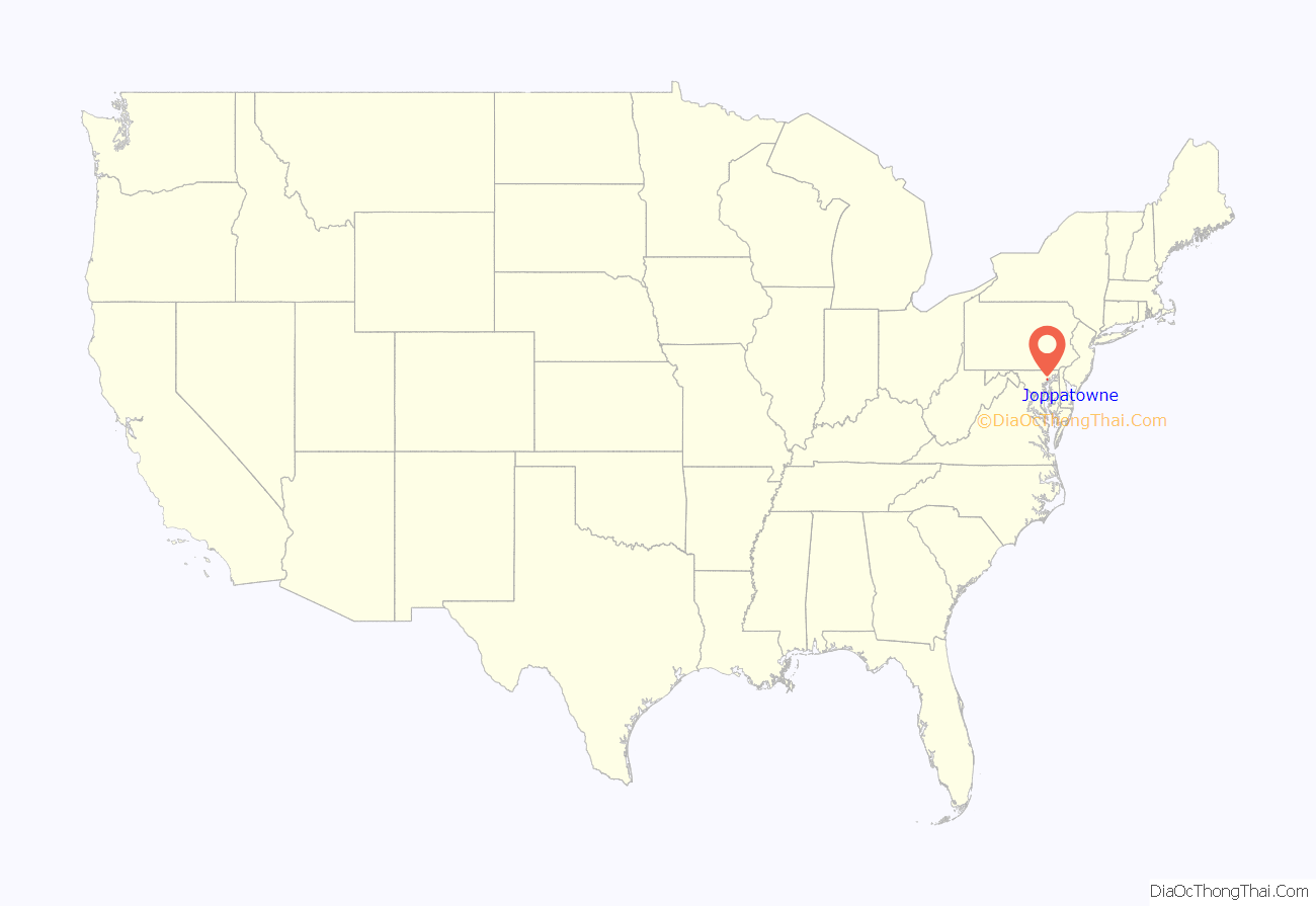
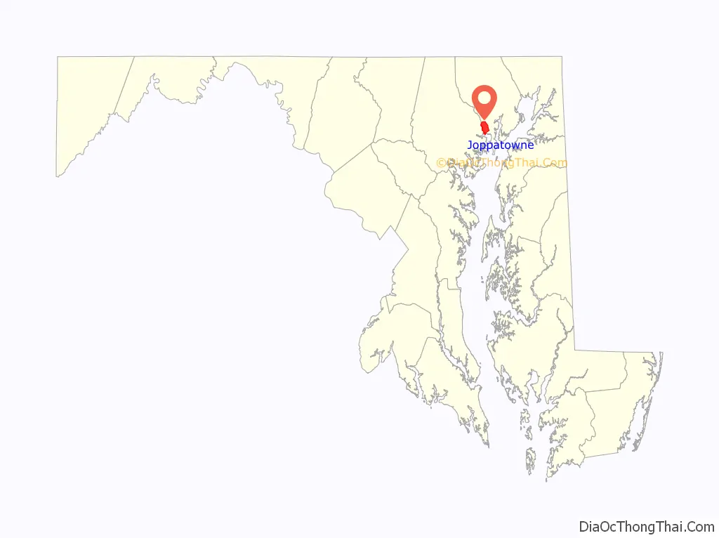
Joppatowne is a census-designated place in southwestern Harford County, Maryland, United States. Serving as a bedroom community for nearby Baltimore, it was established in 1961 as a planned unit development (PUD). The population was 12,616 at the 2010 census, up from 11,391 in 2000.
Joppatowne is covered by the “Joppa” ZIP Code of 21085, and “Joppa” is a designated planning region for Harford County. The Joppa ZIP code (21085) extends 6 miles (10 km) north of Joppatowne, as far as Benson, just south of Bel Air.
The namesake of both Joppatowne and Joppa is the original town of “Joppa” (Jaffa, Israel). It was a major seaport in American colonial times and the county seat of the original Baltimore County until 1768. Its site is located within the boundaries of present-day Joppatowne.
| Name: | Joppatowne CDP |
|---|---|
| LSAD Code: | 57 |
| LSAD Description: | CDP (suffix) |
| State: | Maryland |
| County: | Harford County |
| Elevation: | 239 ft (73 m) |
| Total Area: | 7.39 sq mi (19.13 km²) |
| Land Area: | 6.73 sq mi (17.43 km²) |
| Water Area: | 0.66 sq mi (1.70 km²) |
| Total Population: | 13,425 |
| Population Density: | 1,995.10/sq mi (770.33/km²) |
| ZIP code: | 21085 |
| Area code: | 410 |
| FIPS code: | 2442875 |
Online Interactive Map
Click on ![]() to view map in "full screen" mode.
to view map in "full screen" mode.
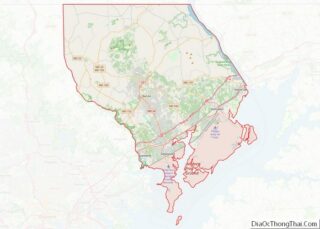
Joppatowne location map. Where is Joppatowne CDP?
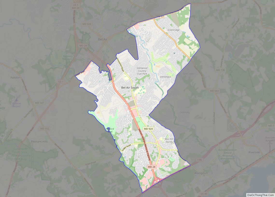
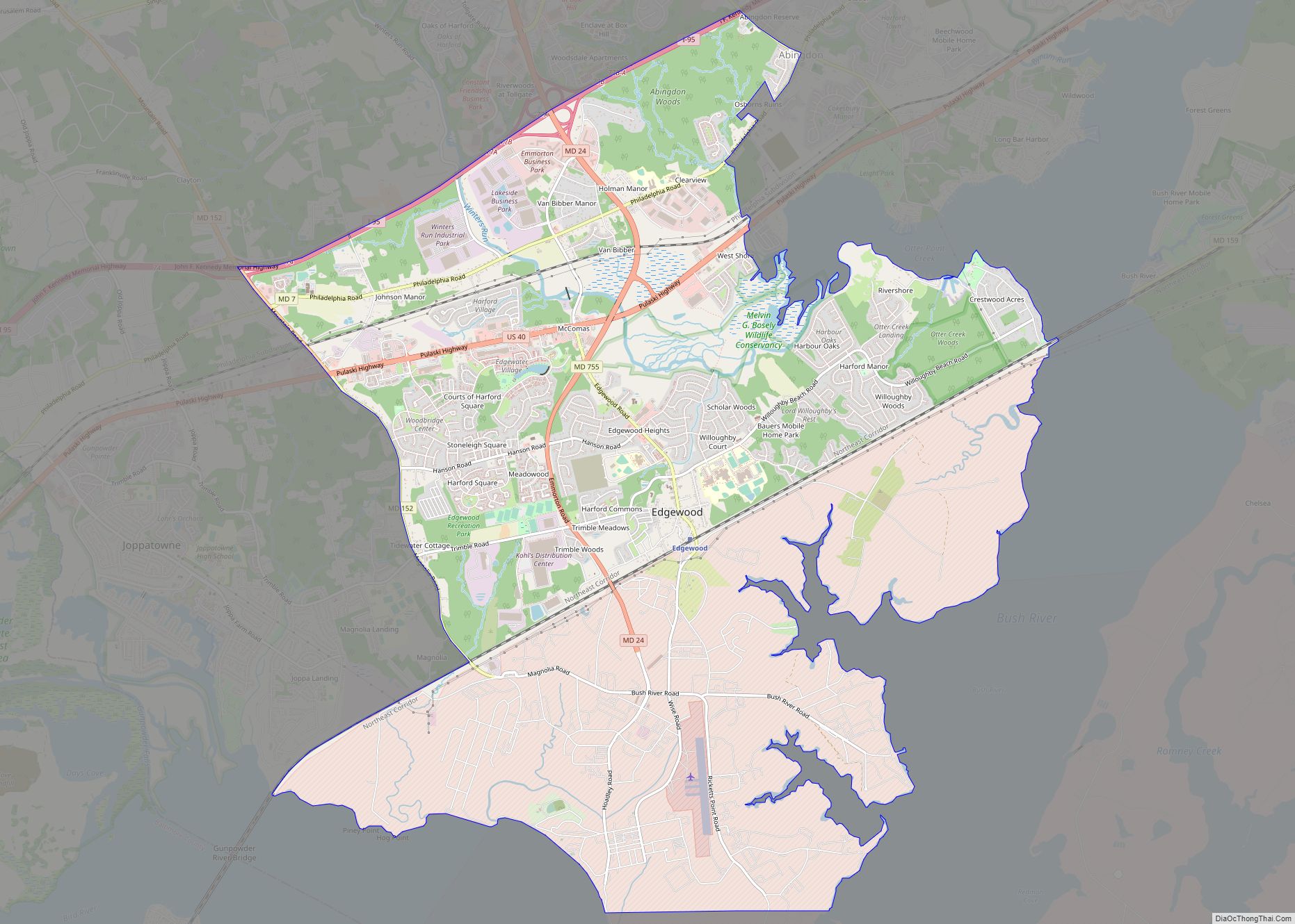
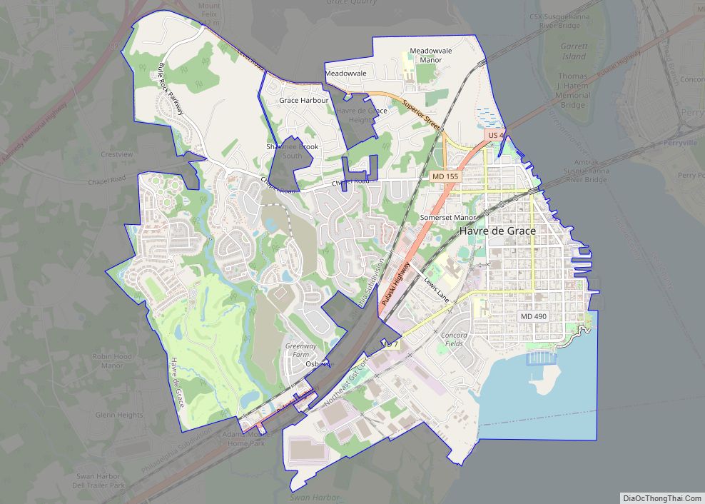
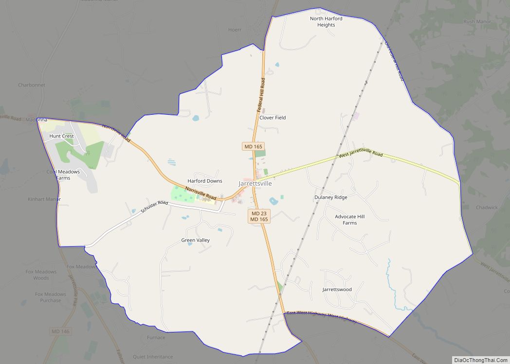
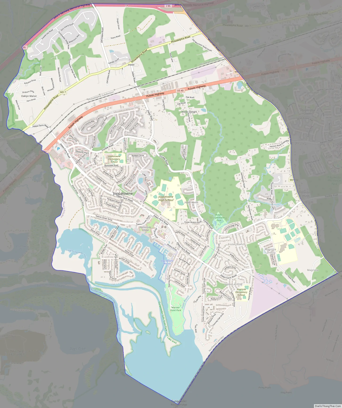
Joppatowne Road Map
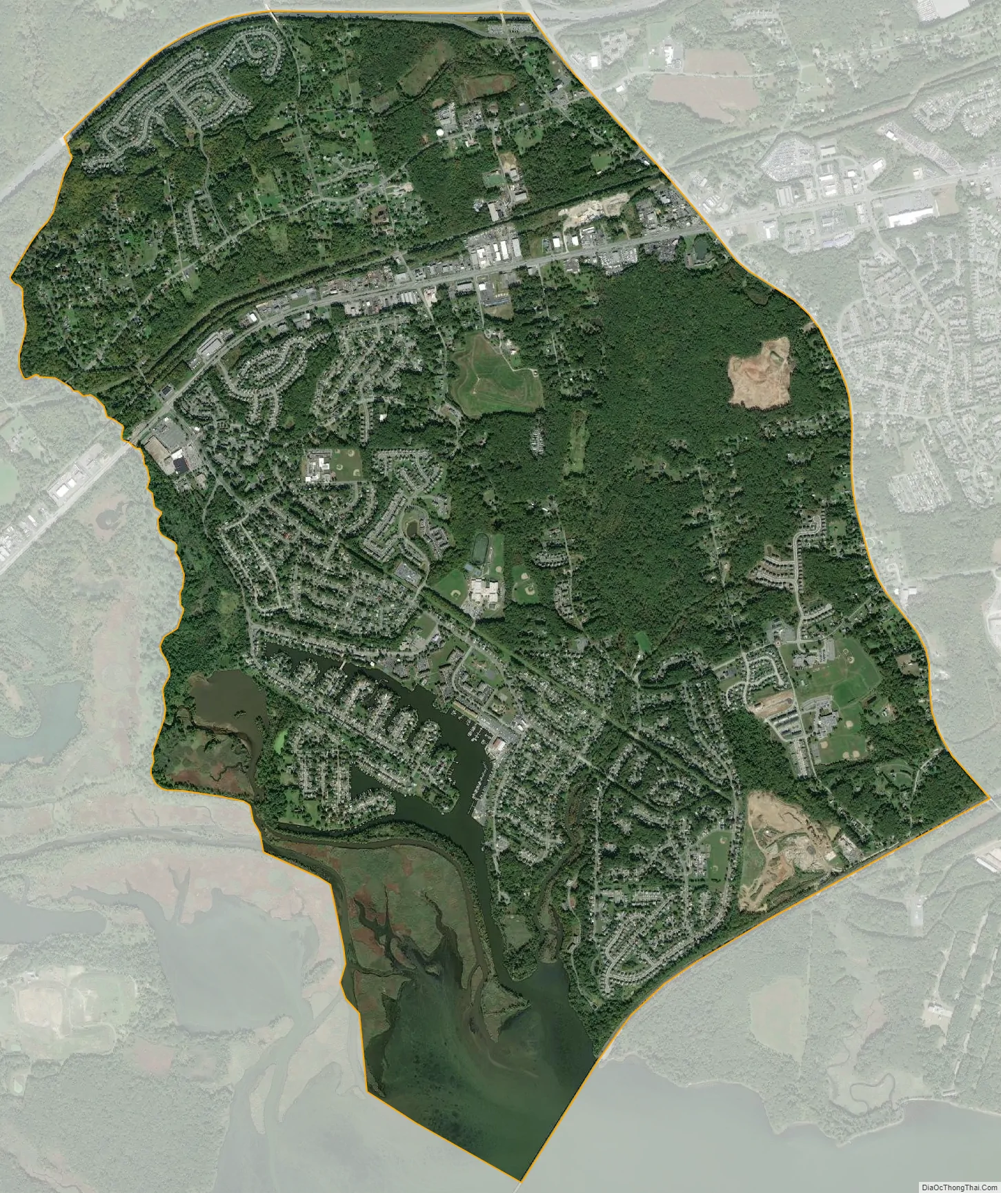
Joppatowne city Satellite Map
Geography
Joppatowne is located in southwestern Harford County. It is bordered to the west by the Gunpowder River and Little Gunpowder Falls, which forms the Baltimore County line; to the north by Interstate 95, to the east by Maryland Route 152, and to the south by the Amtrak Northeast Corridor railroad line. U.S. Route 40 (Pulaski Highway) passes through the northern part of the CDP, leading northeast 12 miles (19 km) to Aberdeen and southwest 17 miles (27 km) to downtown Baltimore.
According to the United States Census Bureau, the CDP has a total area of 7.4 square miles (19.1 km), of which 6.7 square miles (17.4 km) are land and 0.66 square miles (1.7 km), or 8.91%, are water.
See also
Map of Maryland State and its subdivision: Map of other states:- Alabama
- Alaska
- Arizona
- Arkansas
- California
- Colorado
- Connecticut
- Delaware
- District of Columbia
- Florida
- Georgia
- Hawaii
- Idaho
- Illinois
- Indiana
- Iowa
- Kansas
- Kentucky
- Louisiana
- Maine
- Maryland
- Massachusetts
- Michigan
- Minnesota
- Mississippi
- Missouri
- Montana
- Nebraska
- Nevada
- New Hampshire
- New Jersey
- New Mexico
- New York
- North Carolina
- North Dakota
- Ohio
- Oklahoma
- Oregon
- Pennsylvania
- Rhode Island
- South Carolina
- South Dakota
- Tennessee
- Texas
- Utah
- Vermont
- Virginia
- Washington
- West Virginia
- Wisconsin
- Wyoming