Jarrettsville is an unincorporated community and census-designated place (CDP) in Harford County, Maryland, United States. The population was 2,888 at the 2020 census.
| Name: | Jarrettsville CDP |
|---|---|
| LSAD Code: | 57 |
| LSAD Description: | CDP (suffix) |
| State: | Maryland |
| County: | Harford County |
| Elevation: | 669 ft (204 m) |
| Total Area: | 8.66 sq mi (22.43 km²) |
| Land Area: | 8.63 sq mi (22.37 km²) |
| Water Area: | 0.03 sq mi (0.07 km²) |
| Total Population: | 2,888 |
| Population Density: | 334.45/sq mi (129.13/km²) |
| ZIP code: | 21084 |
| Area code: | 410 |
| FIPS code: | 2442325 |
| GNISfeature ID: | 0585205 |
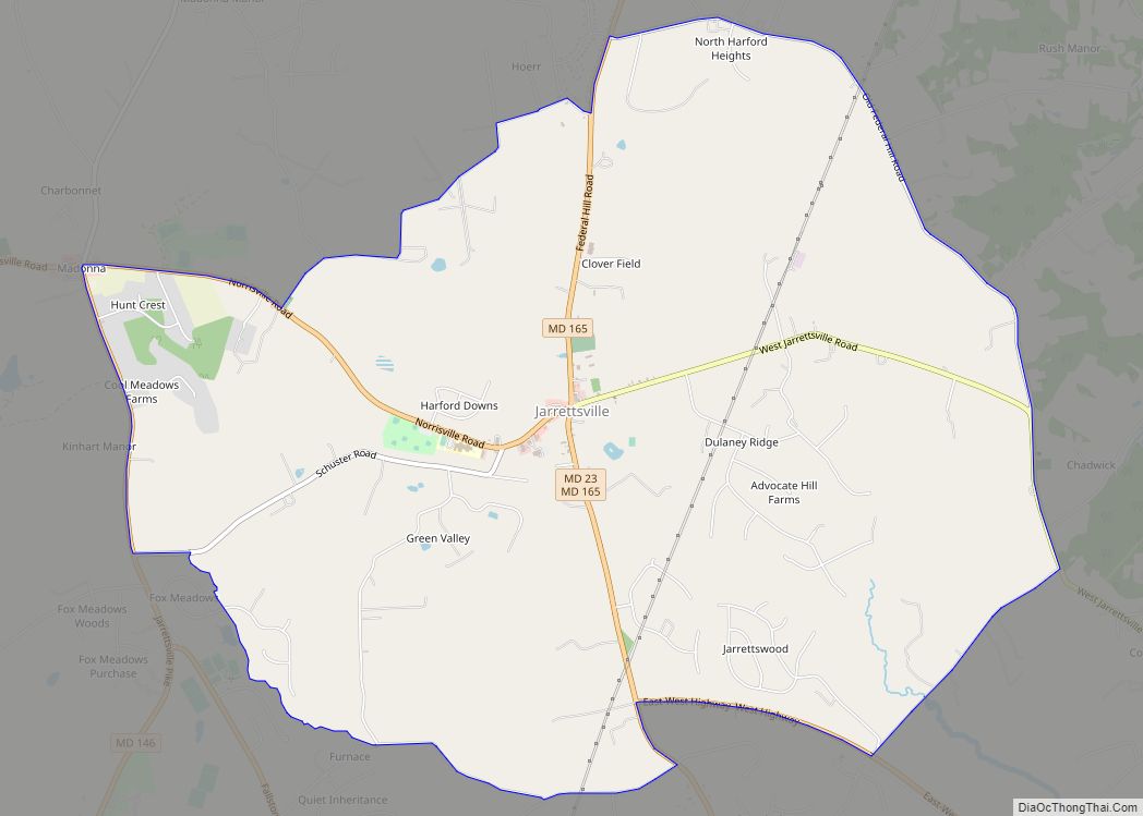
Online Interactive Map
Click on ![]() to view map in "full screen" mode.
to view map in "full screen" mode.
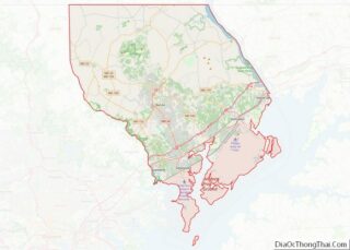
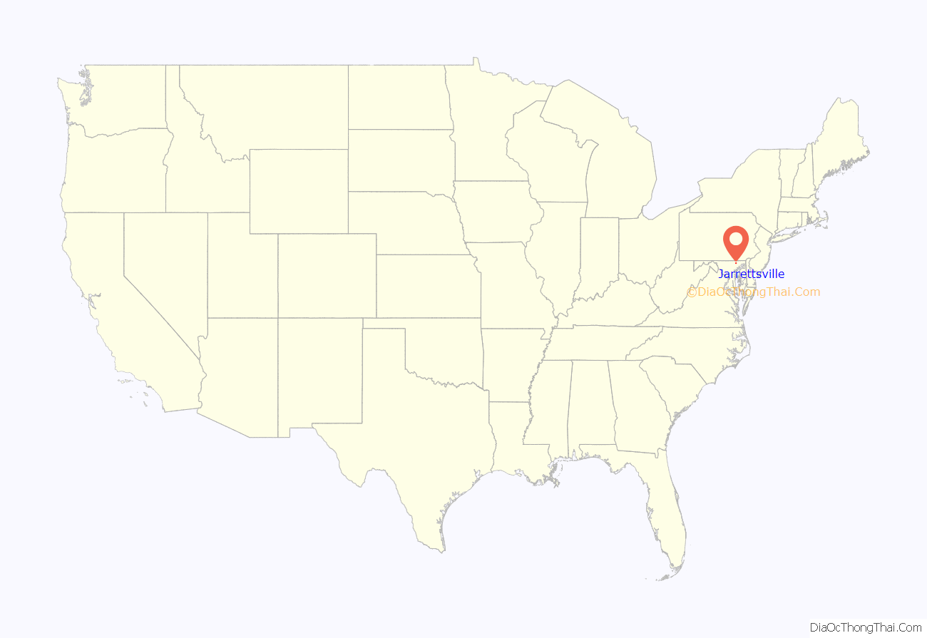
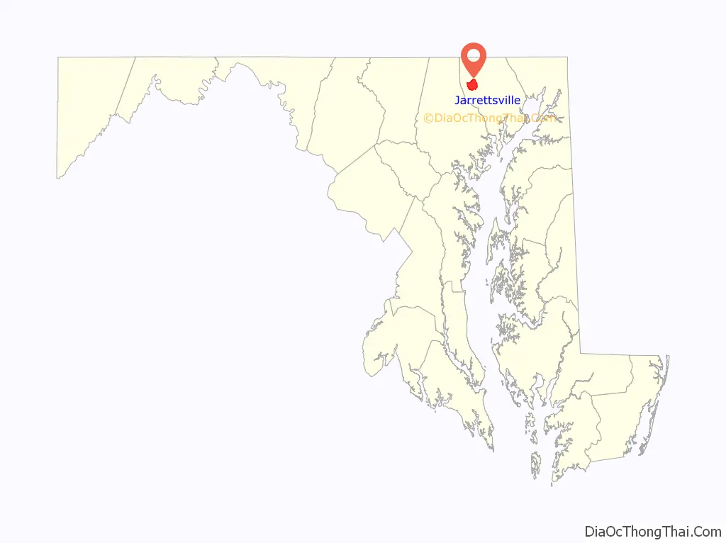
Jarrettsville location map. Where is Jarrettsville CDP?
History
The area was originally called Carmon. The town was named for the Jarrett family, who farmed the area during the 1800s and were one of the first pioneer families of the United States. In 1771, Abraham Jarrett was granted 2,380 acres of land near the falling branch area to which was used for the production of hogshead barrels mainly used for the transportation of tobacco. In the same year Abraham Jarrett purchased other areas in and around the Jarrettsville area. Abraham Jarrett married Martha Bussey and had 7 children. My Lady’s Manor was listed on the National Register of Historic Places in 1978, and includes portions of Jarrettsville. Other sources attribute the naming of Jarrettsville to the grandson of Abraham Jarrett, Luther M. Jarrett, a state delegate and farmer.
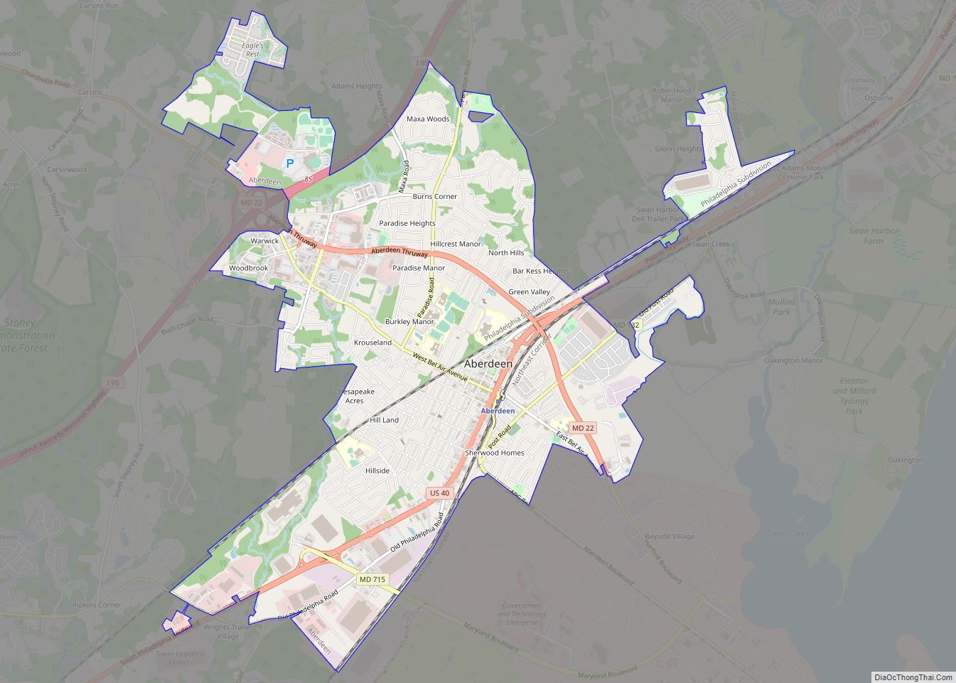
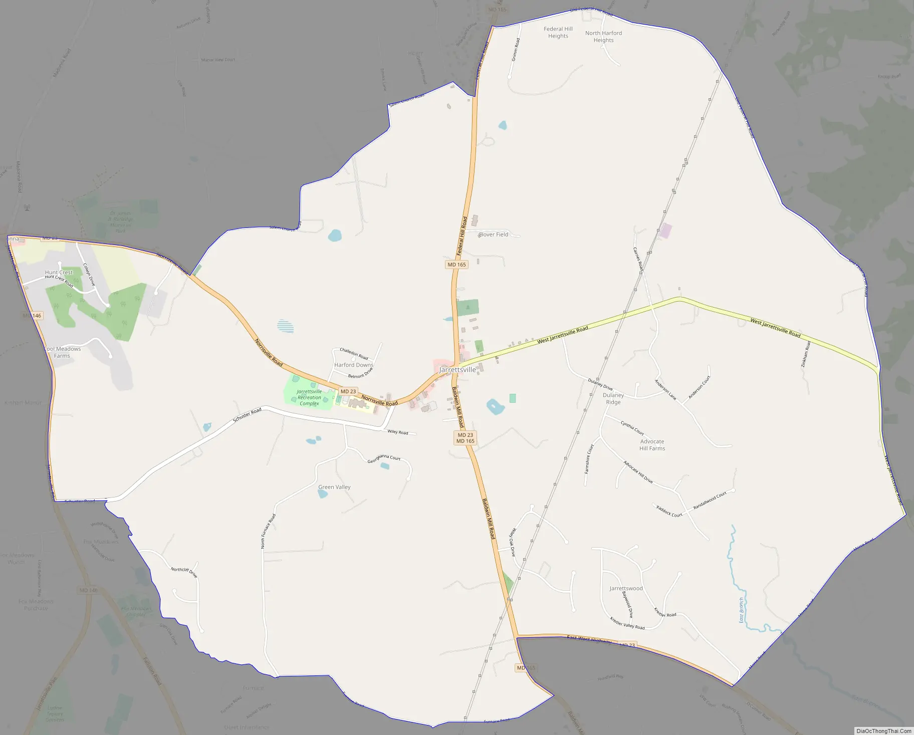
Jarrettsville Road Map
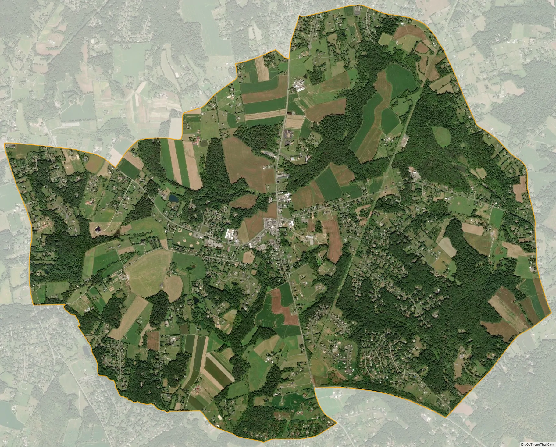
Jarrettsville city Satellite Map
Geography
Jarrettsville is located in northwestern Harford County at 39°36′7″N 76°28′21″W / 39.60194°N 76.47250°W / 39.60194; -76.47250 (39.601954, −76.472404). Maryland Route 23 passes through the center of the town, leading southeast 9 miles (14 km) to Bel Air, the county seat, and northwest 12 miles (19 km) to the Pennsylvania border north of Norrisville. Maryland Route 165 passes through the center of Jarrettsville as well, leading northeast 12 miles to the Pennsylvania border near Cardiff and south 8 miles (13 km) to Baldwin. Jarrettsville is 30 miles (48 km) northeast of downtown Baltimore.
According to the United States Census Bureau, the CDP has a total area of 8.6 square miles (22.4 km), of which 0.03 square miles (0.07 km), or 0.29%, are water.
See also
Map of Maryland State and its subdivision: Map of other states:- Alabama
- Alaska
- Arizona
- Arkansas
- California
- Colorado
- Connecticut
- Delaware
- District of Columbia
- Florida
- Georgia
- Hawaii
- Idaho
- Illinois
- Indiana
- Iowa
- Kansas
- Kentucky
- Louisiana
- Maine
- Maryland
- Massachusetts
- Michigan
- Minnesota
- Mississippi
- Missouri
- Montana
- Nebraska
- Nevada
- New Hampshire
- New Jersey
- New Mexico
- New York
- North Carolina
- North Dakota
- Ohio
- Oklahoma
- Oregon
- Pennsylvania
- Rhode Island
- South Carolina
- South Dakota
- Tennessee
- Texas
- Utah
- Vermont
- Virginia
- Washington
- West Virginia
- Wisconsin
- Wyoming