Map of Nikep CDP

Map of Nikep CDP

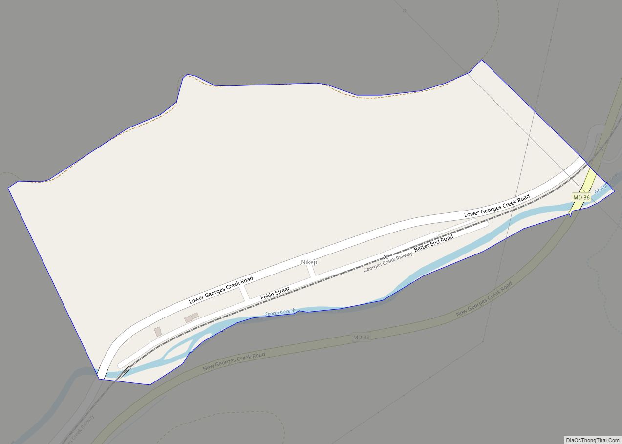
Nikep (originally known as Pekin) is an unincorporated community and census-designated place (CDP) in Allegany County, Maryland, United States. As of the 2020 census it had a population of 95. Nikep is located in the Georges Creek Valley of western Allegany County, along the old route of Maryland Route 36. Lonaconing is 1.6 miles (2.6 km) … Read more

Map of Newark CDP, Maryland

Map of Newark CDP, Maryland

Newark is a census-designated place (CDP) in Worcester County, Maryland, United States. The population was 339 at the 2000 census. It is part of the Salisbury, Maryland-Delaware Metropolitan Statistical Area. Newark CDP overview: Name: Newark CDP LSAD Code: 57 LSAD Description: CDP (suffix) State: Maryland County: Worcester County Elevation: 30 ft (9 m) Total Area: 9.45 sq mi (24.49 km²) … Read more

Map of New Windsor town

Map of New Windsor town, Maryland

New Windsor is a town in Carroll County, Maryland, United States. The population was 1,398 at the 2020 census. It is located 6 miles (10 km) west of Westminster on Maryland Route 31. New Windsor town overview: Name: New Windsor town LSAD Code: 43 LSAD Description: town (suffix) State: Maryland County: Carroll County Incorporated: 1844 Elevation: … Read more

Map of North Brentwood town

Map of North Brentwood town

North Brentwood is a town in Prince George’s County, Maryland, United States. The population was 593 at the 2020 census. The municipality of North Brentwood is located north of Washington and is surrounded by the communities of Brentwood, Hyattsville, and Cottage City, and the nearby Mount Rainier. The Town of North Brentwood was incorporated in … Read more

Map of North Bethesda CDP

Map of North Bethesda CDP

North Bethesda is an unincorporated, census-designated place in Montgomery County, Maryland, United States, located just north-west of the U.S. capital of Washington, D.C. It had a population of 50,094 as of the 2020 census. Among its neighborhoods, the centrally-located, urbanizing district of White Flint is the commercial and residential hub of North Bethesda. The Pike … Read more

Map of North Beach town

Map of North Beach town

North Beach is a town in Calvert County, Maryland, United States. The population was 1,978 at the 2010 U.S. Census. In addition to a boardwalk, North Beach has multiple parks including Wetlands Overlook Park, Sunrise Garden, Callis Park, and the Walton Beach Nature Preserve. It is also the home of the Boys & Girls Club … Read more

Map of North Kensington CDP

Map of North Kensington CDP

North Kensington is a census-designated place and an unincorporated area in Montgomery County, Maryland, United States. It had a population of 9,497 in 2020. North Kensington CDP overview: Name: North Kensington CDP LSAD Code: 57 LSAD Description: CDP (suffix) State: Maryland County: Montgomery County Elevation: 318 ft (97 m) Total Area: 1.50 sq mi (3.88 km²) Land Area: 1.50 sq mi (3.87 km²) … Read more

Map of North East town

Map of North East town, Maryland

North East is a town in Cecil County, Maryland, United States. It is located between Philadelphia and Baltimore. The population was 3,572 at the 2010 census. The Turkey Point Light Station was listed on the National Register of Historic Places in 2002. The Gilpin’s Falls Covered Bridge was listed in 2008. North East town overview: … Read more

Map of North Chevy Chase village

Map of North Chevy Chase village

North Chevy Chase is a village in Montgomery County, Maryland, United States. It was established as a Special Tax District in 1924 and incorporated as a village in 1996. The population was 519 at the 2010 census. The town is part of a larger community, colloquially referred to as Chevy Chase, that includes several adjoining … Read more

Map of Oakland town, Maryland

Map of Oakland town, Maryland

Oakland is a town in and the county seat of Garrett County, Maryland, United States. The population was 1,851 at the 2020 census. It is situated only miles from the source of the Potomac River, which flows directly into Chesapeake Bay. It is also near the Wisp Resort at Deep Creek Lake, a major ski … Read more

Map of North Potomac CDP

Map of North Potomac CDP

North Potomac is a census-designated place and unincorporated area in Montgomery County, Maryland, United States. It is located less than 5 miles (8.0 km) north of the Potomac River, and is about 20 miles (32 km) from Washington, D.C. It has a population of 23,790 as of 2020. The region’s land was originally used for growing tobacco, … Read more

Map of North Laurel CDP

Map of North Laurel CDP

North Laurel is a census-designated place (CDP) in Howard County, Maryland, United States. The published population was 4,474 at the 2010 census. This population was substantially less than the CDP’s population in 2000, and was the result of an error in defining the boundary prior to tabulation and publication of 2010 Census results. The corrected … Read more