Oakland is a town in and the county seat of Garrett County, Maryland, United States. The population was 1,851 at the 2020 census. It is situated only miles from the source of the Potomac River, which flows directly into Chesapeake Bay. It is also near the Wisp Resort at Deep Creek Lake, a major ski resort for many Marylanders and other visitors. Oakland is part of the Pittsburgh media market.
| Name: | Oakland town |
|---|---|
| LSAD Code: | 43 |
| LSAD Description: | town (suffix) |
| State: | Maryland |
| County: | Garrett County |
| Incorporated: | 1862 |
| Elevation: | 2,398 ft (731 m) |
| Total Area: | 2.72 sq mi (7.05 km²) |
| Land Area: | 2.71 sq mi (7.02 km²) |
| Water Area: | 0.01 sq mi (0.02 km²) |
| Total Population: | 1,851 |
| Population Density: | 682.52/sq mi (263.53/km²) |
| ZIP code: | 21550 |
| Area code: | 301, 240 |
| FIPS code: | 2457650 |
| GNISfeature ID: | 0586276 |
| Website: | www.OaklandMD.com |
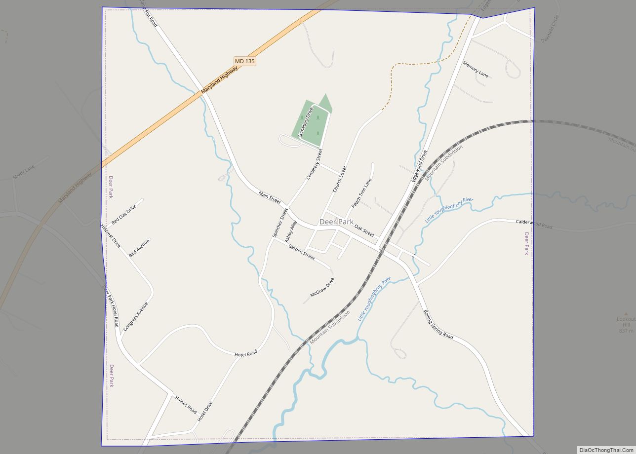
Online Interactive Map
Click on ![]() to view map in "full screen" mode.
to view map in "full screen" mode.
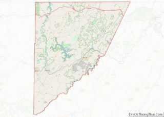
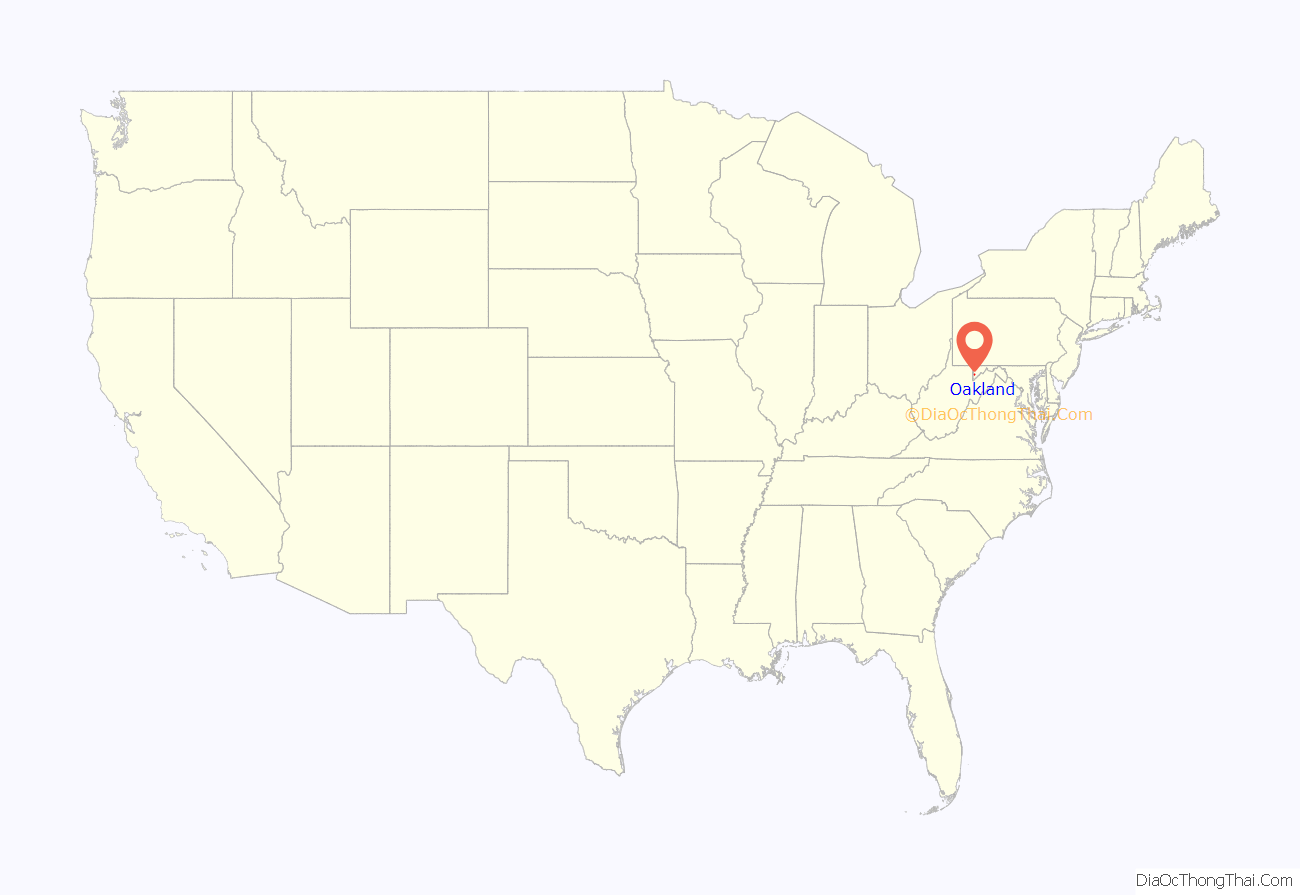
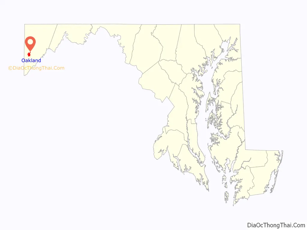
Oakland location map. Where is Oakland town?
History
Oakland was formally incorporated as a town in 1862.
The town is home to a historic B&O railroad station, which was listed on the National Register of Historic Places in 1973, and restored in the 2000s. Trains still run on the rail tracks behind the station, but it is mainly used for special organizations or gatherings at present. A gift shop is located within the station. In front of the station, there are a plethora of festivities that go on, mainly seasonal activities such as housing the town Christmas tree, decorating the plaza for a holiday, and sometimes parties.
Main Street of Oakland consists mainly of historic two to four story edifices that house the main shopping facilities in the area, such as a theatre, museum, book store, a local pharmacy, antique shops, clothing stores and banks. Many of the homes and businesses in the downtown area are examples of Victorian architecture. Much of the central section of Oakland is part of the Oakland Historic District, listed on the National Register of Historic Places in 1984. Also listed on the National Register are the Garrett County Courthouse and Hoye Site.
In the late 19th century and early 20th century, a large hotel named the Oakland Hotel was located near the downtown railroad station. It was constructed in 1878 by the B&O Railroad. The hotel was a major tourist attraction for that time period until it was torn down in the early 20th century.
One of the most prominent and historic churches in Oakland is St. Matthew’s Episcopal Church, where U.S. Presidents Ulysses S. Grant, James Garfield, Grover Cleveland, and Benjamin Harrison have all attended services. Because of this, it is now called the “Church of Presidents.” Another prominent and historic church is St. Peter the Apostle Church, a Catholic church located on Fourth Street. A large neoclassical courthouse is also very prominent and dominates the town center.
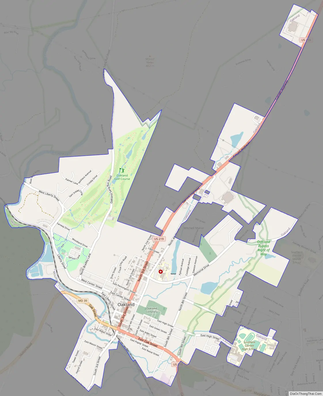
Oakland Road Map
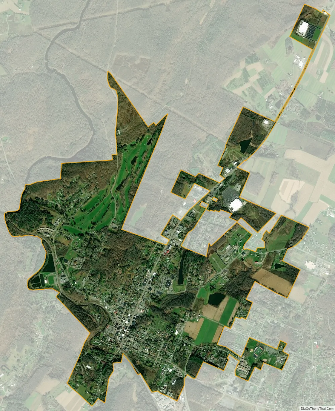
Oakland city Satellite Map
Geography
Oakland is in the south-central to western portion of Garrett County, located at 39°24′38″N 79°24′16″W / 39.41056°N 79.40444°W / 39.41056; -79.40444 (39.410480, −79.404380). It is set in a small valley. According to the United States Census Bureau, the town has a total area of 2.60 square miles (6.73 km), of which 2.59 square miles (6.71 km) is land and 0.01 square miles (0.03 km) is water. It is only 6.61 miles from Second Street to Deep Creek Lake.
Climate
Oakland, owing to its high elevation and valley location, is among the coldest and snowiest locales in the state of Maryland, and has a warm-summer humid continental climate (Köppen Dfb). The state record low of −40 °F or −40 °C was recorded here on January 13, 1912. The monthly mean temperature ranges from 25.1 °F (−3.8 °C) in January to 68.4 °F (20.2 °C) in July, with temperatures not reaching above freezing on an average 34 afternoons and falling to 0 °F (−17.8 °C) or below on an average of 5.8 mornings. The average first and last dates for freezing temperatures are September 28 and May 15, respectively.
The record high is 101 °F (38.3 °C) on August 7, 1918, which, together with the preceding day, are the only two instances of 100 °F (37.8 °C)+ readings on record in Oakland; from 1981 to 2010, only thirteen years ever reached 90 °F (32.2 °C).
According to weather data tallied between July 1, 1985 and June 30, 2015 for every location in the National Oceanic and Atmospheric Administration’s official climate database, Oakland is the snowiest place in the state of Maryland with an average of 106.1 inches or 2.69 metres of snow per year. The most snow in 24 hours was 40.0 inches (1.02 m) on February 16, 1908, and the average first and last dates for measurable (≥0.1 inches or 0.0025 metres) snowfall are November 13 and April 7.
See also
Map of Maryland State and its subdivision: Map of other states:- Alabama
- Alaska
- Arizona
- Arkansas
- California
- Colorado
- Connecticut
- Delaware
- District of Columbia
- Florida
- Georgia
- Hawaii
- Idaho
- Illinois
- Indiana
- Iowa
- Kansas
- Kentucky
- Louisiana
- Maine
- Maryland
- Massachusetts
- Michigan
- Minnesota
- Mississippi
- Missouri
- Montana
- Nebraska
- Nevada
- New Hampshire
- New Jersey
- New Mexico
- New York
- North Carolina
- North Dakota
- Ohio
- Oklahoma
- Oregon
- Pennsylvania
- Rhode Island
- South Carolina
- South Dakota
- Tennessee
- Texas
- Utah
- Vermont
- Virginia
- Washington
- West Virginia
- Wisconsin
- Wyoming