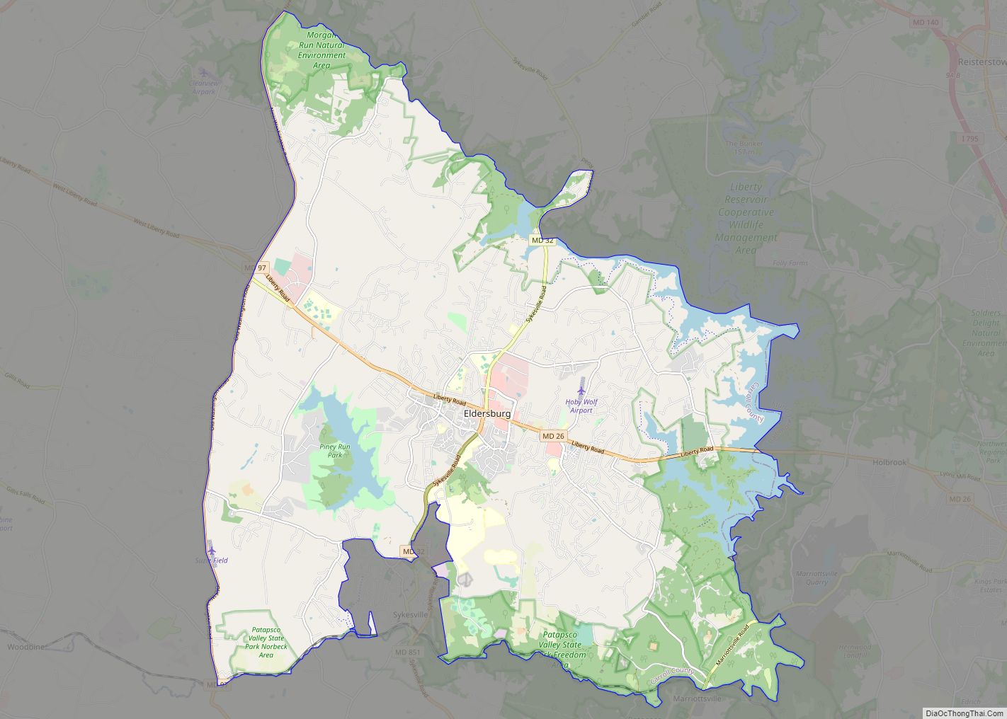
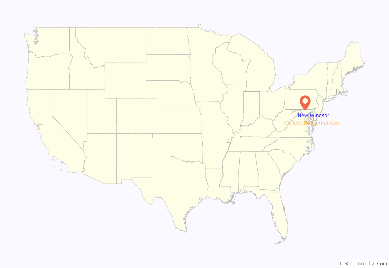
New Windsor is a town in Carroll County, Maryland, United States. The population was 1,398 at the 2020 census. It is located 6 miles (10 km) west of Westminster on Maryland Route 31.
| Name: | New Windsor town |
|---|---|
| LSAD Code: | 43 |
| LSAD Description: | town (suffix) |
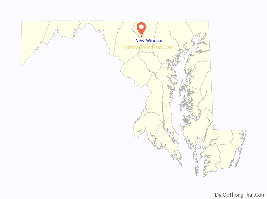
| State: | Maryland |
| County: | Carroll County |
| Incorporated: | 1844 |
| Elevation: | 499 ft (152 m) |
| Total Area: | 0.75 sq mi (1.94 km²) |
| Land Area: | 0.74 sq mi (1.91 km²) |
| Water Area: | 0.01 sq mi (0.02 km²) |
| Total Population: | 1,441 |
| Population Density: | 1,952.57/sq mi (753.54/km²) |
| ZIP code: | 21776 |
| Area code: | 410,443,667 |
| FIPS code: | 2455925 |
| GNISfeature ID: | 0593887 |
| Website: | www.newwindsormd.org |
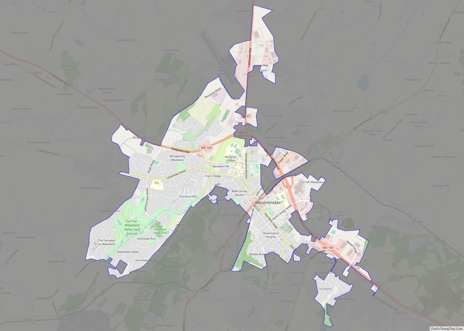
Online Interactive Map
Click on ![]() to view map in "full screen" mode.
to view map in "full screen" mode.
New Windsor location map. Where is New Windsor town?
History
New Windsor was platted in 1797 and originally named Sulphur Springs, for a local spring with water believed to have medicinal properties. It was given its current name in the early 19th century, possibly after its English namesake. The town was originally founded to service and profit from junctures of wagon trails in the area, but would later become a destination in and of itself because of the sulfur springs. To capitalize from the visitors to the springs, the town would become home to a bathhouse and numerous inns, including the 10,000+ square foot Dielman Inn.
New Windsor became home to Calvert College in 1850, to later become the New Windsor College in 1872, and then finally a campus of Blue Ridge College in 1912 until 1937. In the late 1800s, St. Thomas Catholic Church stood at Calvert College. Due to a high level of resentment toward Catholics during the time, the church was wiped from historical records, the church was razed and pieces of the church could be found in town as late as the 2000s. The altar was turned into a workbench and stained glass used for a garage. In the 1930s, then resident Walter Hoke on Springdale Avenue paid local boys to remove headstones of St. Thomas Catholic Church Cemetery. In the 2000s, then owner of 111 Springdale Avenue purchased the cemetery plot from the Roman Catholic Church.
On September 3, 1932, amidst the Great Depression, New Windsor State bank was opened and remains in operation today (Other banks had been opened and located in New Windsor, but are no longer in business). The bank’s original location on Main Street of New Windsor includes imported marble, a hand painted mural, and a stained glass ceiling. New Windsor State Bank is now NWSB Bank, a division of ACNB Bank of Gettysburg, Pennsylvania.
Since 1944, it had been headquarters for the international missionary efforts of the Church of the Brethren including being a part of the church’s Heifer Project which became Heifer International. These efforts inspired the international focus of the Peace Corps, whose first director, Sargent Shriver, had roots in the area. However, many operations for the church’s international efforts are now located elsewhere, and the “upper campus” (located in the former campus of Blue Ridge College) was listed for sale in 2015. This property was sold to Shanghai Yulun Education Group in 2017 and reopened as Springdale Preparatory School.
New Windsor has been claimed as home by two notable American artists: Frederick Dielman and Clyfford Still, whose mansion in town can be visited by reservation.
Much of the town is included in the National Register of Historic Places as the New Windsor Historic District, having been added in 1997. Of specific note are the historic homes Avalon and the Appler-Englar House listed in 1987 and 2001 respectively.
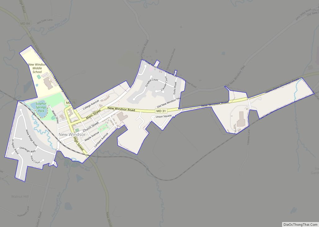
New Windsor Road Map
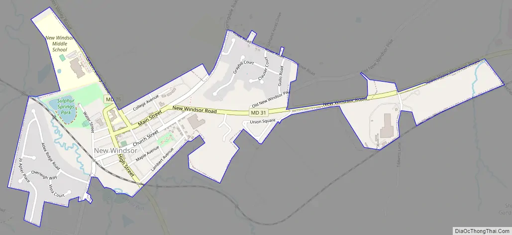
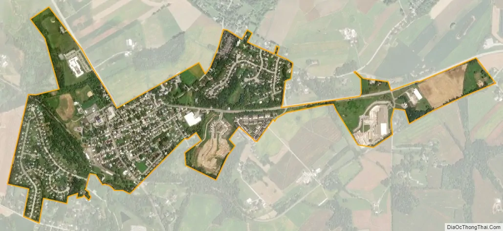
New Windsor city Satellite Map
Geography
New Windsor is located at 39°32′36″N 77°6′15″W / 39.54333°N 77.10417°W / 39.54333; -77.10417 (39.543451, -77.104065).
According to the United States Census Bureau, the town has a total area of 0.75 square miles (1.94 km), of which 0.74 square miles (1.92 km) is land and 0.01 square miles (0.03 km) is water.
See also
Map of Maryland State and its subdivision: Map of other states:- Alabama
- Alaska
- Arizona
- Arkansas
- California
- Colorado
- Connecticut
- Delaware
- District of Columbia
- Florida
- Georgia
- Hawaii
- Idaho
- Illinois
- Indiana
- Iowa
- Kansas
- Kentucky
- Louisiana
- Maine
- Maryland
- Massachusetts
- Michigan
- Minnesota
- Mississippi
- Missouri
- Montana
- Nebraska
- Nevada
- New Hampshire
- New Jersey
- New Mexico
- New York
- North Carolina
- North Dakota
- Ohio
- Oklahoma
- Oregon
- Pennsylvania
- Rhode Island
- South Carolina
- South Dakota
- Tennessee
- Texas
- Utah
- Vermont
- Virginia
- Washington
- West Virginia
- Wisconsin
- Wyoming