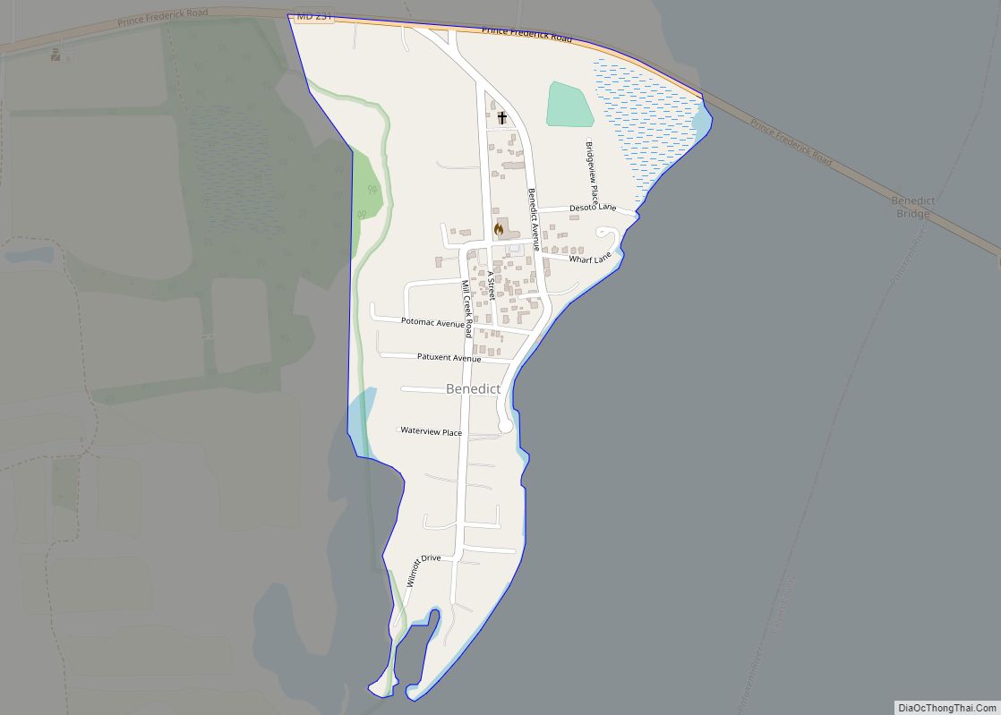
Benedict is an unincorporated town and census-designated place in Charles County, Maryland, United States, located on the Patuxent River in southern Maryland. As of the 2010 census, it had a population of 261. Benedict CDP overview: Name: Benedict CDP LSAD Code: 57 LSAD Description: CDP (suffix) State: Maryland County: Charles County Total Area: 0.23 sq mi (0.60 km²) ... Read more
Maryland Cities and Places
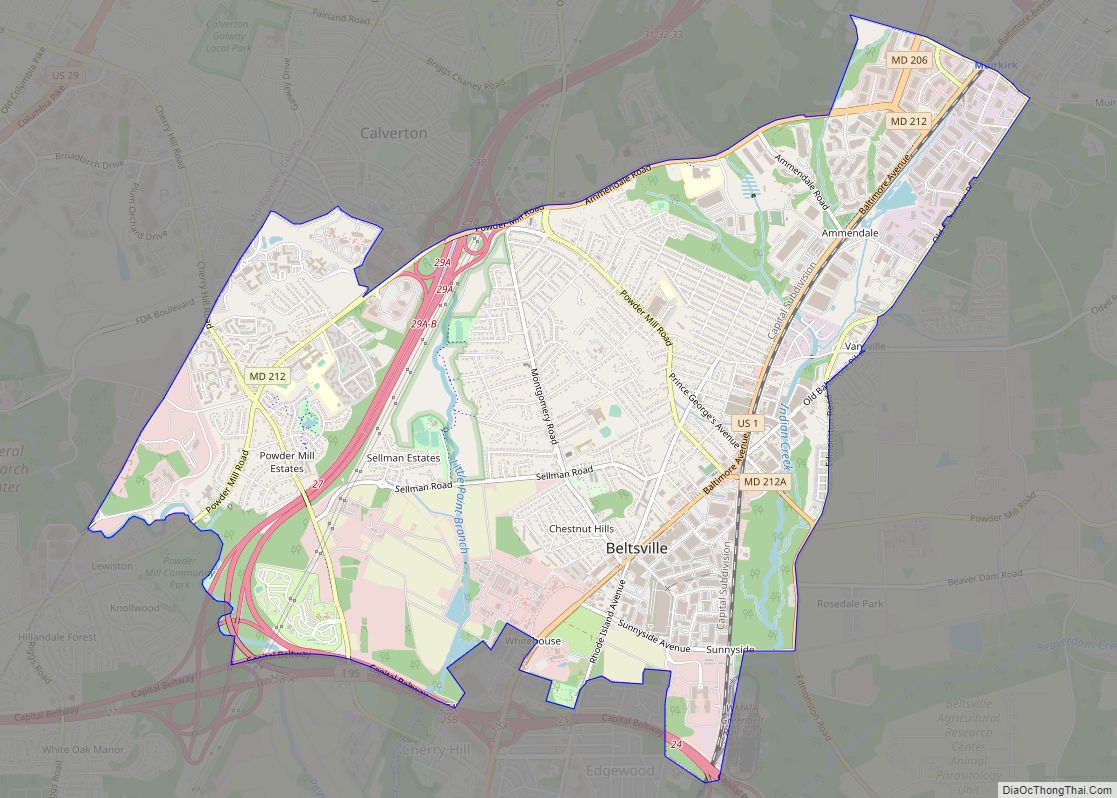
Beltsville is a census-designated place (CDP) in northern Prince George’s County, Maryland, United States. The community was named for Truman Belt, a local landowner. The 2020 census counted 20,133 residents. Beltsville includes the unincorporated community of Vansville. Beltsville CDP overview: Name: Beltsville CDP LSAD Code: 57 LSAD Description: CDP (suffix) State: Maryland County: Prince George’s ... Read more
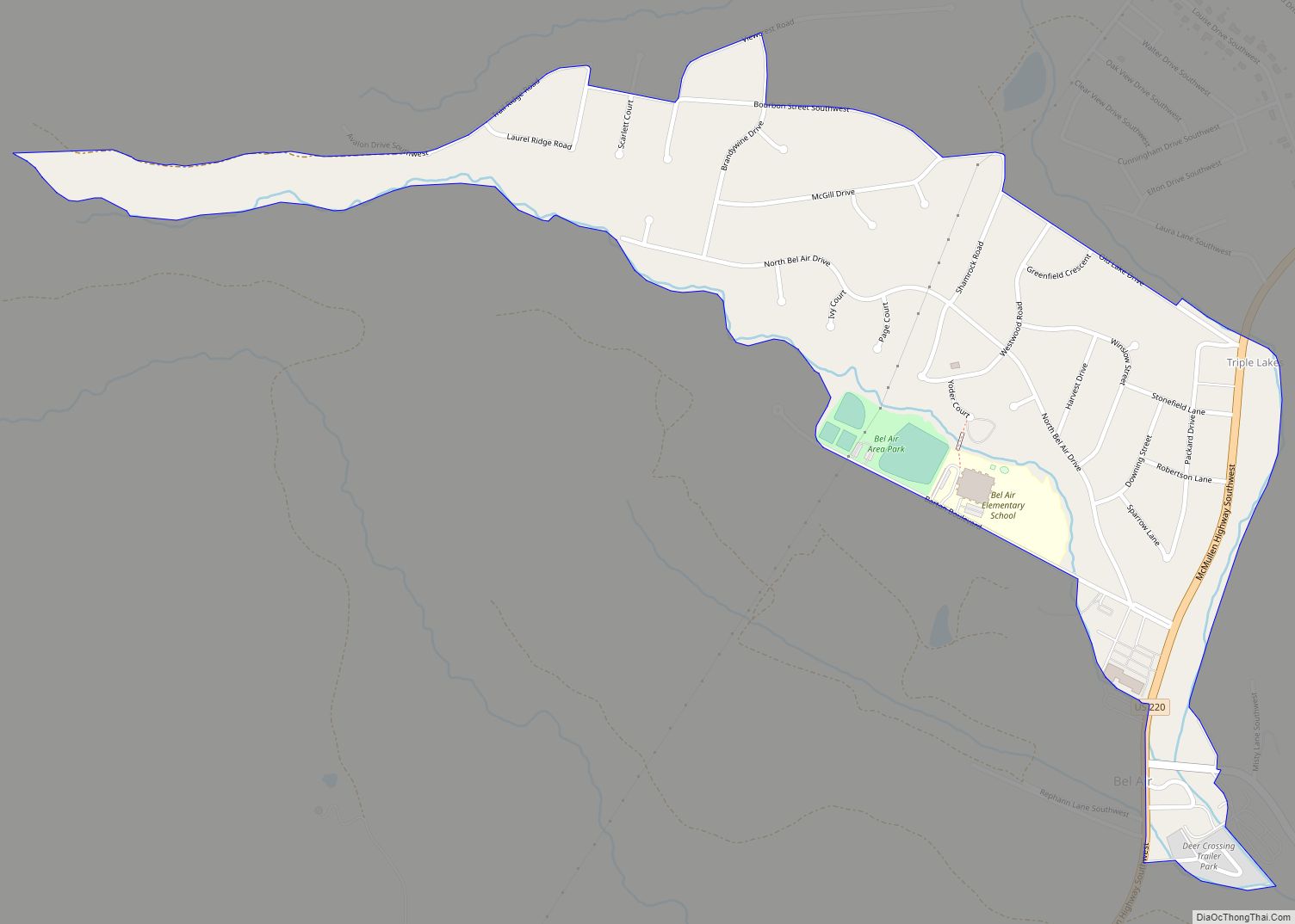
Bel Air is a census-designated place (CDP) located in Allegany County, Maryland, United States. As of the 2010 census it had a population of 1,258. It is surrounded by the Cresaptown CDP and prior to 2010 was listed by the Census Bureau as part of the Cresaptown-Bel Air CDP. Bel Air is part of the ... Read more
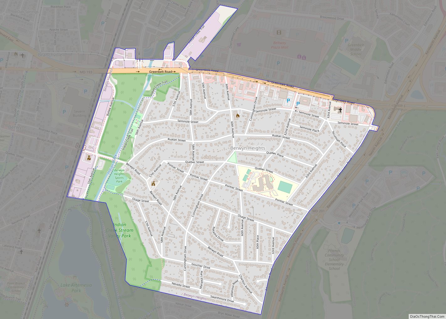
Berwyn Heights is a town in Prince George’s County, Maryland, United States. Per the 2020 census, the population was 3,345. It is bordered by College Park to the west, Greenbelt to the northeast, and Riverdale Park to the south. Berwyn Heights town overview: Name: Berwyn Heights town LSAD Code: 43 LSAD Description: town (suffix) State: ... Read more
Berlin is a town in Worcester County, Maryland, United States which includes its own historical Berlin Commercial District. The population was 4,485 at the 2010 census, and has since grown in population. It is part of the Salisbury, Maryland-Delaware Metropolitan Statistical Area. Berlin town overview: Name: Berlin town LSAD Code: 43 LSAD Description: town (suffix) ... Read more
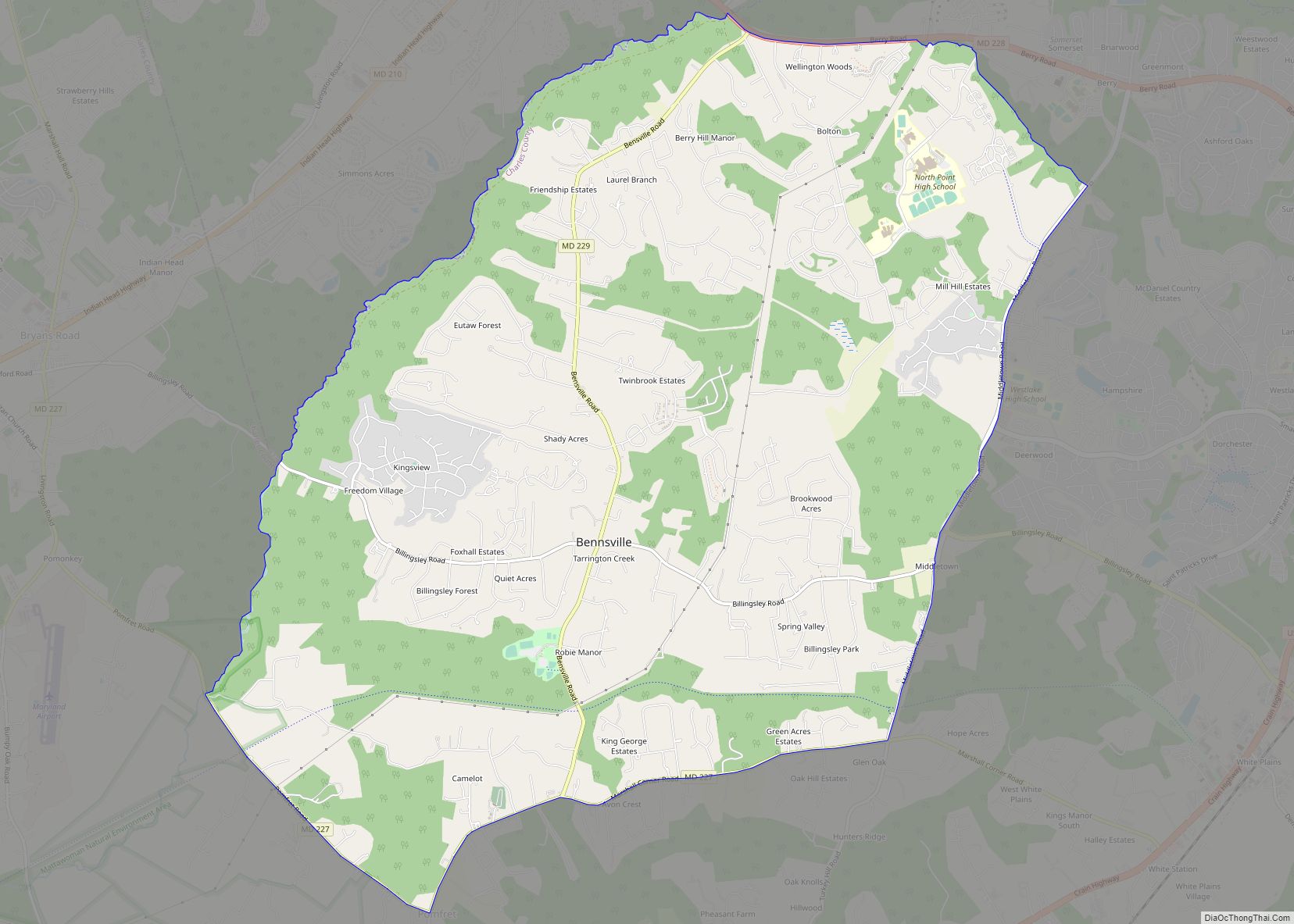
Bennsville (spelled Bensville by the United States Census Bureau) is a census-designated place (CDP) in Charles County, Maryland, United States. Per the 2020 census, the population was 15,288. The area is not an official postal designation, but is part of the Waldorf or Pomfret postal area. The Bennsville area is growing with new residential development, ... Read more
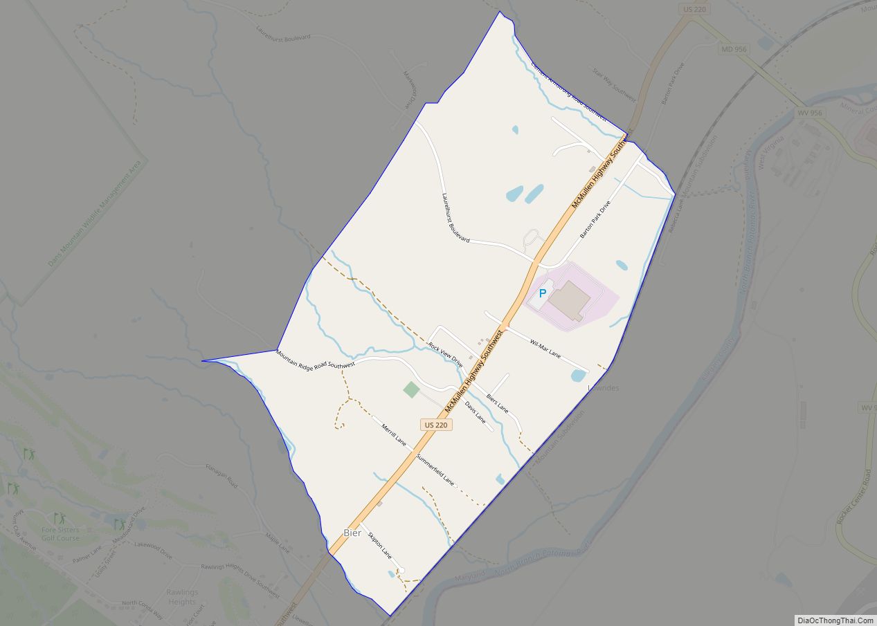
Bier is an unincorporated community and census-designated place (CDP) in Allegany County, Maryland, United States. As of the 2010 census, it had a population of 173. It is located along U.S. Route 220, 10 miles (16 km) southwest of Cumberland and 10 miles (16 km) northeast of Keyser, West Virginia. Bier CDP overview: Name: Bier CDP LSAD ... Read more
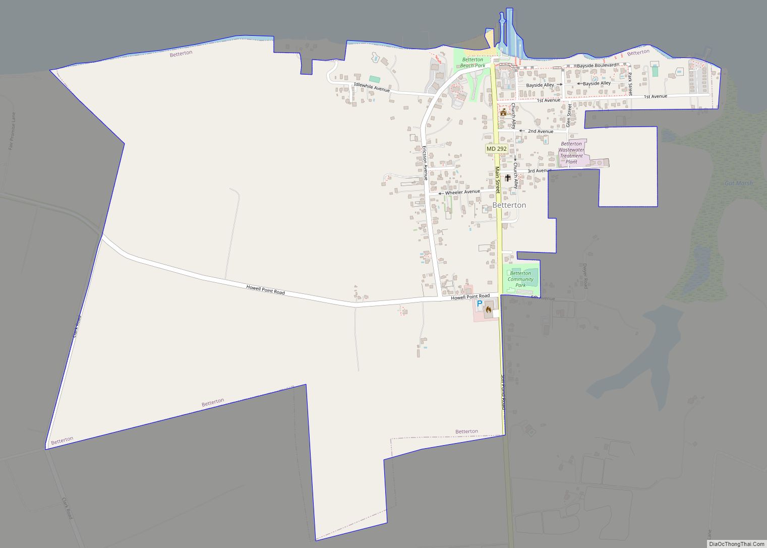
Betterton is a town in Kent County, Maryland, United States. The population was 345 at the 2010 census. Betterton town overview: Name: Betterton town LSAD Code: 43 LSAD Description: town (suffix) State: Maryland County: Kent County Incorporated: 1906 Elevation: 72 ft (22 m) Total Area: 1.00 sq mi (2.58 km²) Land Area: 0.99 sq mi (2.56 km²) Water Area: 0.01 sq mi (0.02 km²) Total Population: ... Read more
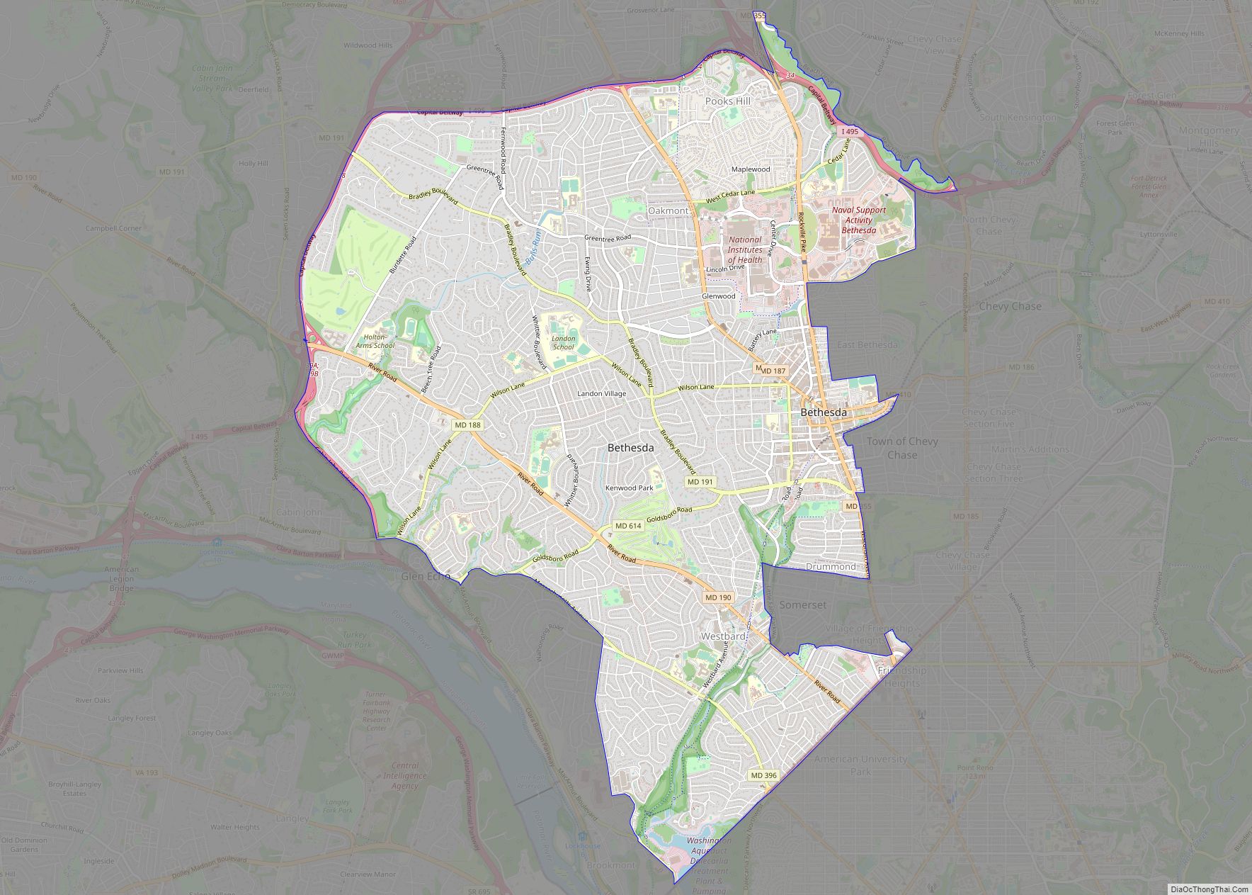
Bethesda (/bəˈθɛzdə/) is an unincorporated, census-designated place in southern Montgomery County, Maryland, United States. It is located just northwest of Washington, D.C. It takes its name from a local church, the Bethesda Meeting House (1820, rebuilt 1849), which in turn took its name from Jerusalem’s Pool of Bethesda. The National Institutes of Health’s main campus ... Read more
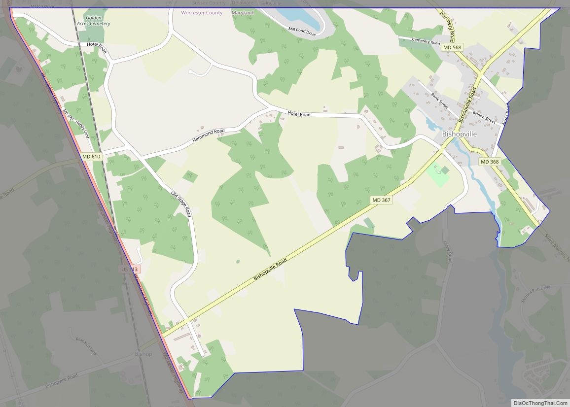
Bishopville is an unincorporated community and census-designated place 10 miles (16 km) north of Berlin in Worcester County, Maryland, United States. The community is just south of the Delaware state line. It is part of the Salisbury, Maryland-Delaware Metropolitan Statistical Area. As of the 2010 census, Bishopville had a population of 531. Bishopville arose at the ... Read more
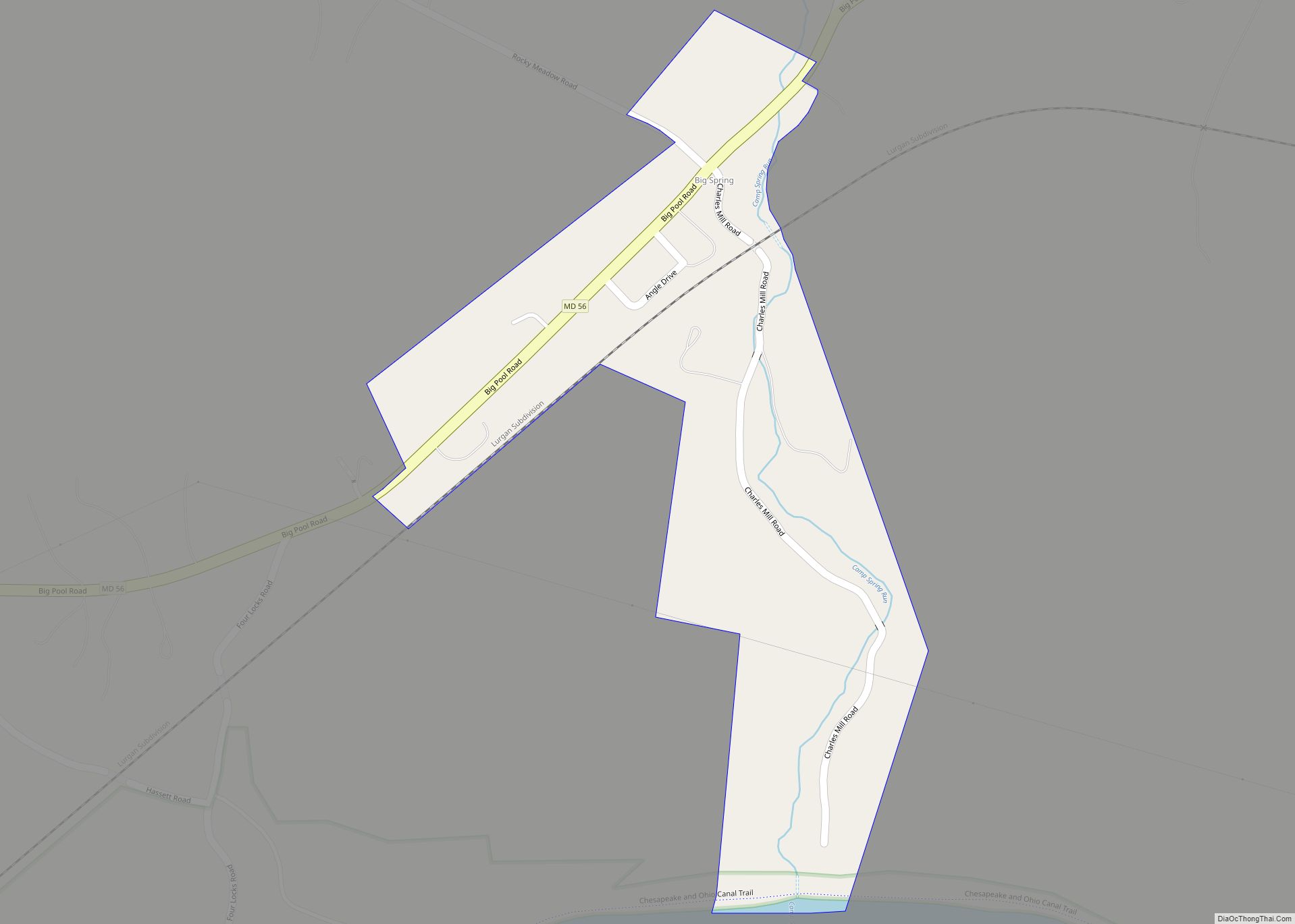
Big Spring is an unincorporated community and census-designated place in Washington County, Maryland, United States. Its population was 84 as of the 2010 census. Maryland Route 56 passes through the community. Big Spring CDP overview: Name: Big Spring CDP LSAD Code: 57 LSAD Description: CDP (suffix) State: Maryland County: Washington County Elevation: 433 ft (132 m) Total ... Read more
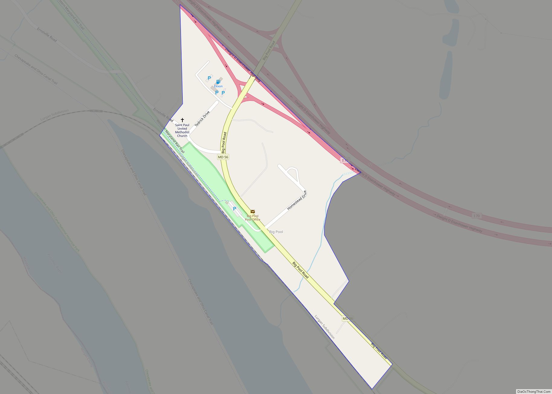
Big Pool is an unincorporated community and census-designated place in western Washington County, Maryland, United States. Its population was 82 as of the 2010 census. It is between Clear Spring, Maryland and Hancock, Maryland along Interstate 70 and is officially a part of the Hagerstown Metropolitan Area. To the south of Big Pool lies Fort ... Read more
