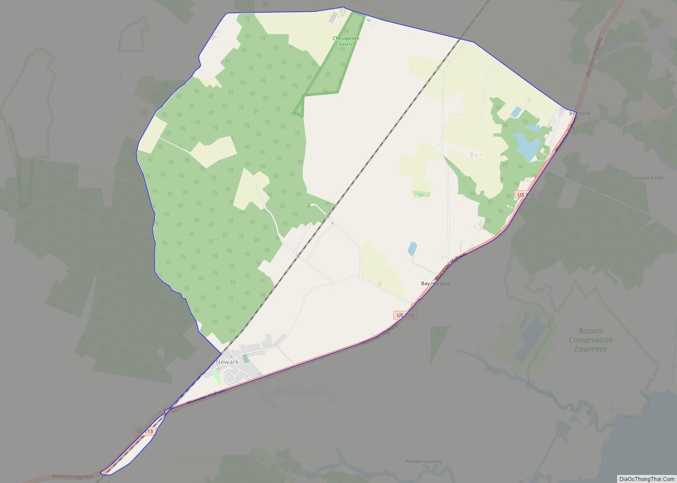
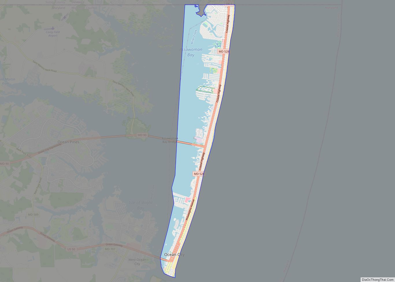
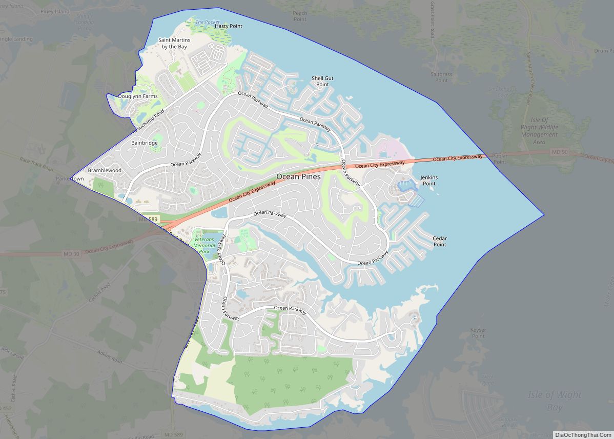
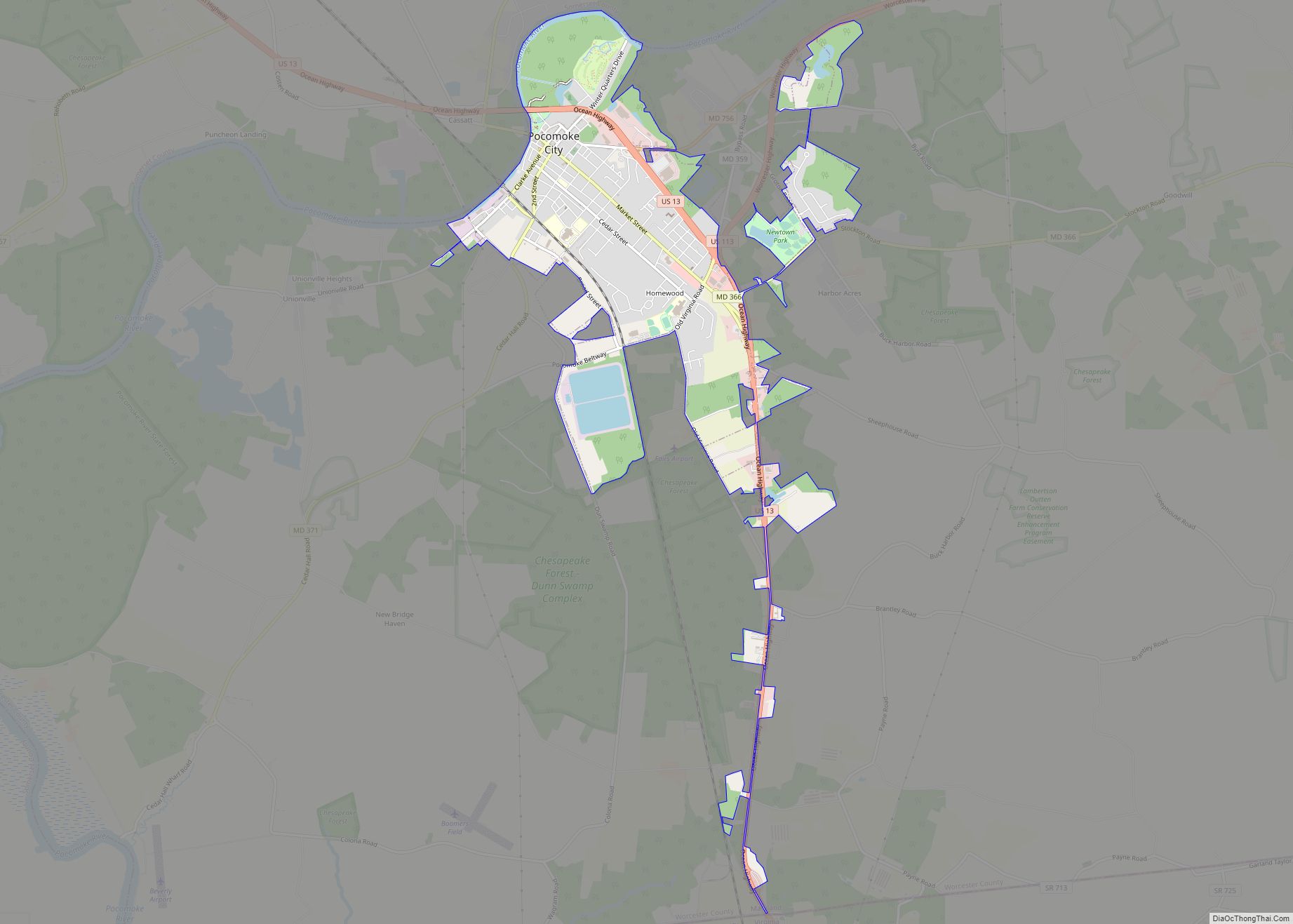
Berlin is a town in Worcester County, Maryland, United States which includes its own historical Berlin Commercial District. The population was 4,485 at the 2010 census, and has since grown in population. It is part of the Salisbury, Maryland-Delaware Metropolitan Statistical Area.
| Name: | Berlin town |
|---|---|
| LSAD Code: | 43 |
| LSAD Description: | town (suffix) |
| State: | Maryland |
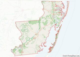
| County: | Worcester County |
| Incorporated: | 1868 |
| Elevation: | 36 ft (11 m) |
| Total Area: | 3.43 sq mi (8.87 km²) |
| Land Area: | 3.38 sq mi (8.77 km²) |
| Water Area: | 0.04 sq mi (0.11 km²) |
| Total Population: | 5,026 |
| Population Density: | 1,485.22/sq mi (573.41/km²) |
| ZIP code: | 21811 |
| FIPS code: | 2406800 |
| GNISfeature ID: | 0583167 |
| Website: | http://berlinmd.gov |
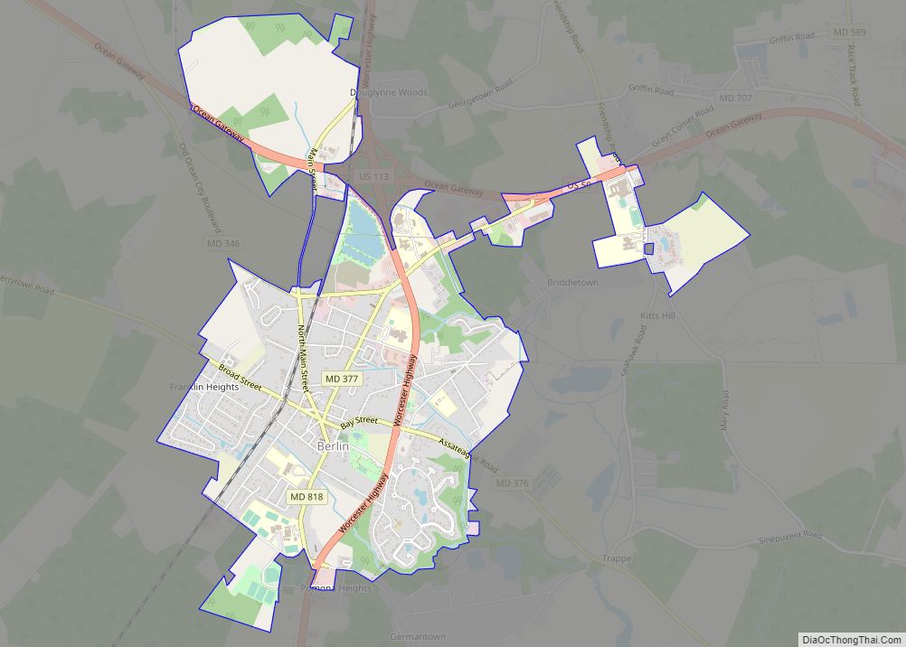
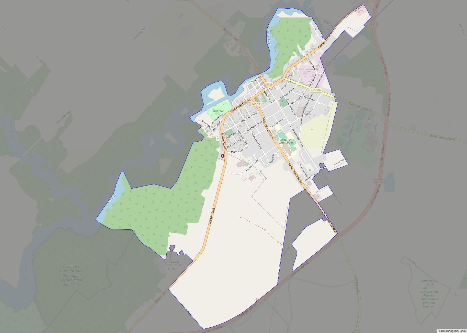
Online Interactive Map
Click on ![]() to view map in "full screen" mode.
to view map in "full screen" mode.
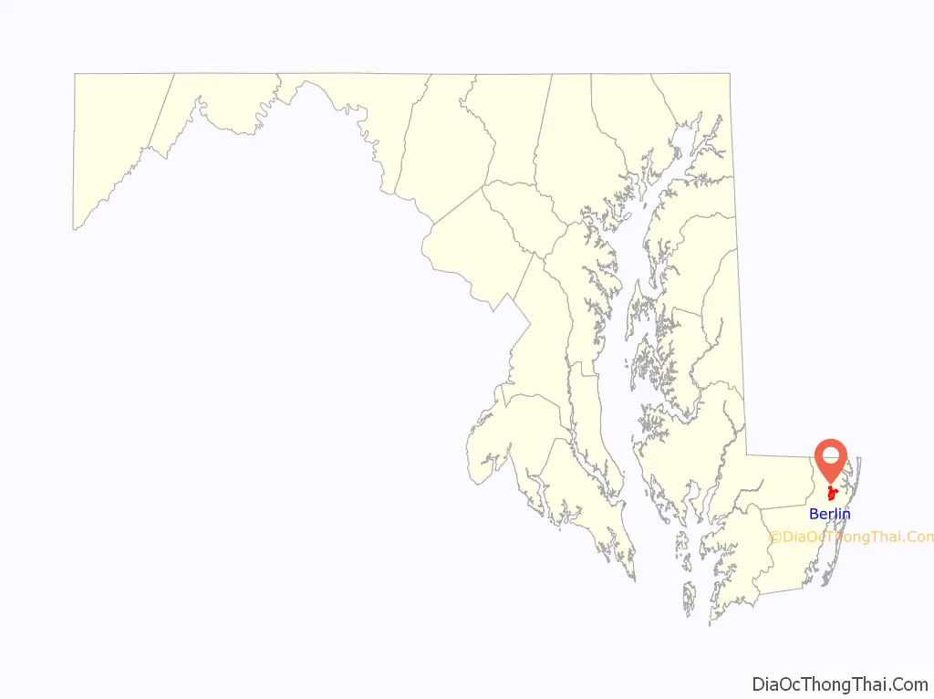
Berlin location map. Where is Berlin town?

History
The town of Berlin lies over land that was originally the 300-acre Burley Plantation, patented by William Tomkins in 1677. With the development of ancient Native American migratory and hunting trails into colonial highways, the Burley Plantation became a crossroads of a post road leading to Philadelphia (today’s Main Street) and the Sinepuxent Road. Berlin developed in the early-19th century at this crossroads, where a tavern, blacksmith shop, and livery were among the first established businesses in the new town. Regional tradition asserts that the pronunciation of the town’s name, “Burl’in” with emphasis on the first syllable, stems from the “Burley Inn,” the early tavern that stood at the crossroads of the Philadelphia Post and Sinepuxent Roads.
Soon after the Civil War, Berlin was incorporated as a town in 1868 and a period of significant growth ensued. Within the next decade, the arrival of the Delaware, Maryland, and Virginia Railroad made Berlin into a commercial center for upper Worcester County. After a fire in 1895 leveled a significant portion of the central commercial district, Victorian structures displaying elements of Queen Anne, Italianate, and Second Empire styles were erected along Main Street. The rise of nearby Ocean City as a tourist destination in the early-twentieth century also aided Berlin’s economy by making the town a convenient rest stop. Just to the north of the town center of Berlin is Ocean Pines, Maryland, a waterfront census-designated place (CDP) that shares the same ZIP code as Berlin.
Since the late 1980s, the town has undergone considerable revitalization of its historic downtown commercial district and adjacent residential areas. Berlin’s historic residential areas feature nearly two centuries of architectural heritage from three distinct periods: Federal, Victorian, and 20th Century. Forty-seven of these structures have been noted in the National Register of Historic Places and the Berlin Commercial District. Berlin has also been designated as a “Main Street Community” by the State of Maryland in recognition of its revitalization progress.
In addition to the Berlin Commercial District, the Buckingham Archeological Site, Burley Manor, Caleb’s Discovery, Fassitt House, Genesar, Henry’s Grove, Merry Sherwood and Williams Grove are listed on the National Register of Historic Places.
Berlin Road Map

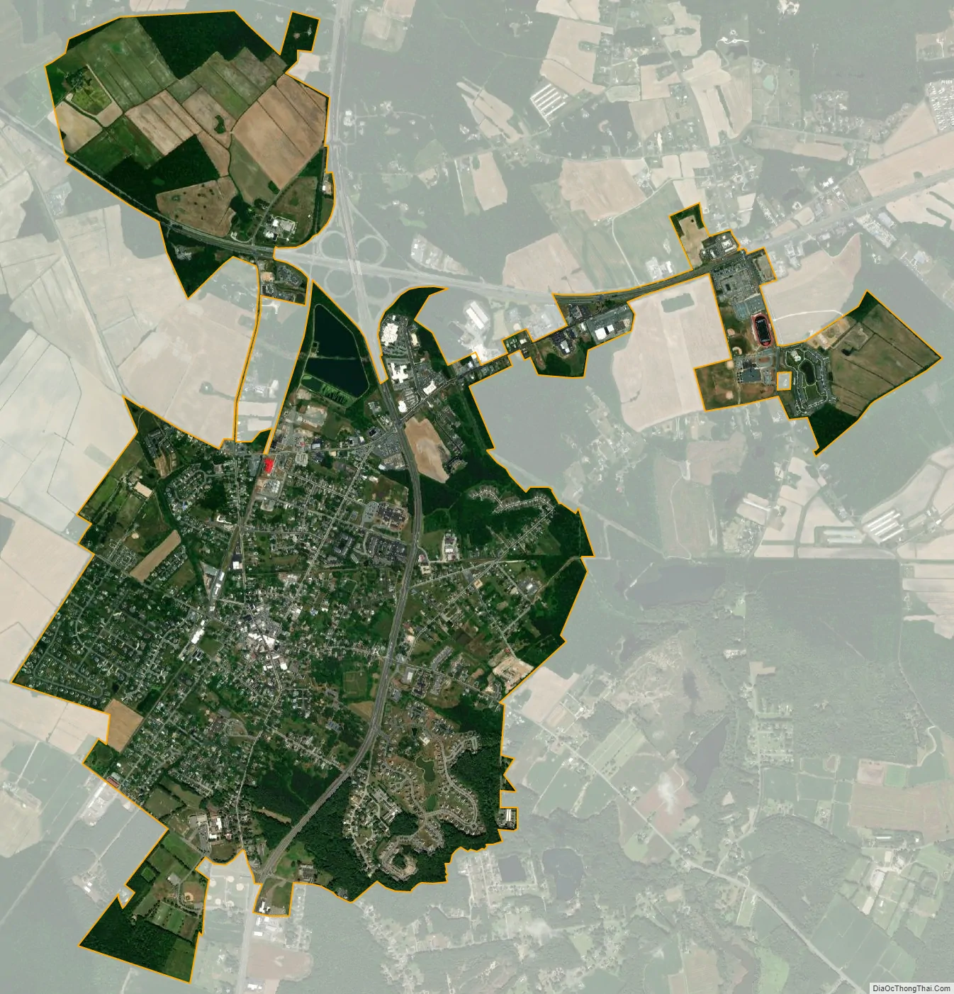
Berlin city Satellite Map
Geography
Berlin is located at 38°20’N 75°13’W (38.3311,-75.2140).
According to the United States Census Bureau, the town has a total area of 3.15 square miles (8.16 km), all land.
See also
Map of Maryland State and its subdivision: Map of other states:- Alabama
- Alaska
- Arizona
- Arkansas
- California
- Colorado
- Connecticut
- Delaware
- District of Columbia
- Florida
- Georgia
- Hawaii
- Idaho
- Illinois
- Indiana
- Iowa
- Kansas
- Kentucky
- Louisiana
- Maine
- Maryland
- Massachusetts
- Michigan
- Minnesota
- Mississippi
- Missouri
- Montana
- Nebraska
- Nevada
- New Hampshire
- New Jersey
- New Mexico
- New York
- North Carolina
- North Dakota
- Ohio
- Oklahoma
- Oregon
- Pennsylvania
- Rhode Island
- South Carolina
- South Dakota
- Tennessee
- Texas
- Utah
- Vermont
- Virginia
- Washington
- West Virginia
- Wisconsin
- Wyoming