Berwyn Heights is a town in Prince George’s County, Maryland, United States. Per the 2020 census, the population was 3,345. It is bordered by College Park to the west, Greenbelt to the northeast, and Riverdale Park to the south.
| Name: | Berwyn Heights town |
|---|---|
| LSAD Code: | 43 |
| LSAD Description: | town (suffix) |
| State: | Maryland |
| County: | Prince George’s County |
| Founded: | 1888 |
| Incorporated: | 1896 |
| Elevation: | 112 ft (34 m) |
| Land Area: | 0.69 sq mi (1.80 km²) |
| Water Area: | 0.00 sq mi (0.00 km²) |
| Population Density: | 4,819.88/sq mi (1,860.12/km²) |
| ZIP code: | 20740 |
| FIPS code: | 2406925 |
| GNISfeature ID: | 0597078 |
| Website: | www.berwynheightsmd.gov |
Online Interactive Map
Click on ![]() to view map in "full screen" mode.
to view map in "full screen" mode.
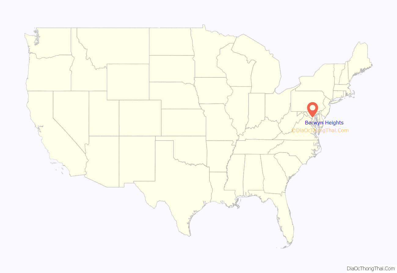
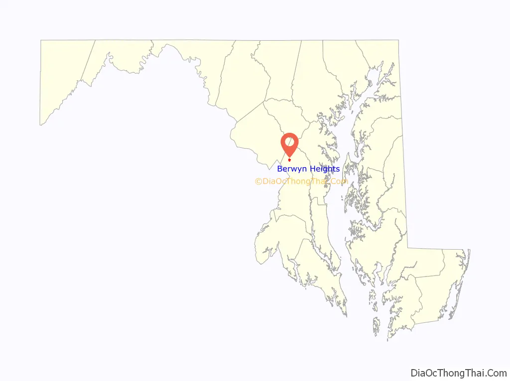
Berwyn Heights location map. Where is Berwyn Heights town?
History
Beginning in the 1870s, the area northeast of Washington, D.C. was the scene of active and continuous development as the population of the city increased and railroad suburbs such as Berwyn Heights, originally platted as Charlton Heights, gradually grew and expanded around it.
The O’Dea House, listed on the National Register of Historic Places, is one of the homes that was erected in 1888 by the Charlton Heights Improvement Company to spur development in the new subdivision.
In 1896, it became the seventh incorporated municipality in Prince George’s County. In 1967, it adopted its town seal, which contains three acorns. In 1986, it was awarded the Tree City USA title.
Historic sites
A group of the remaining original houses is located around Ruatan Street. Four of the houses were built from mail-order plans made by R. W. Shoppell’s Cooperative Building Plan Association of New York City. The following is a partial list of historic sites in Berwyn Heights identified by the Maryland-National Capital Park and Planning Commission:
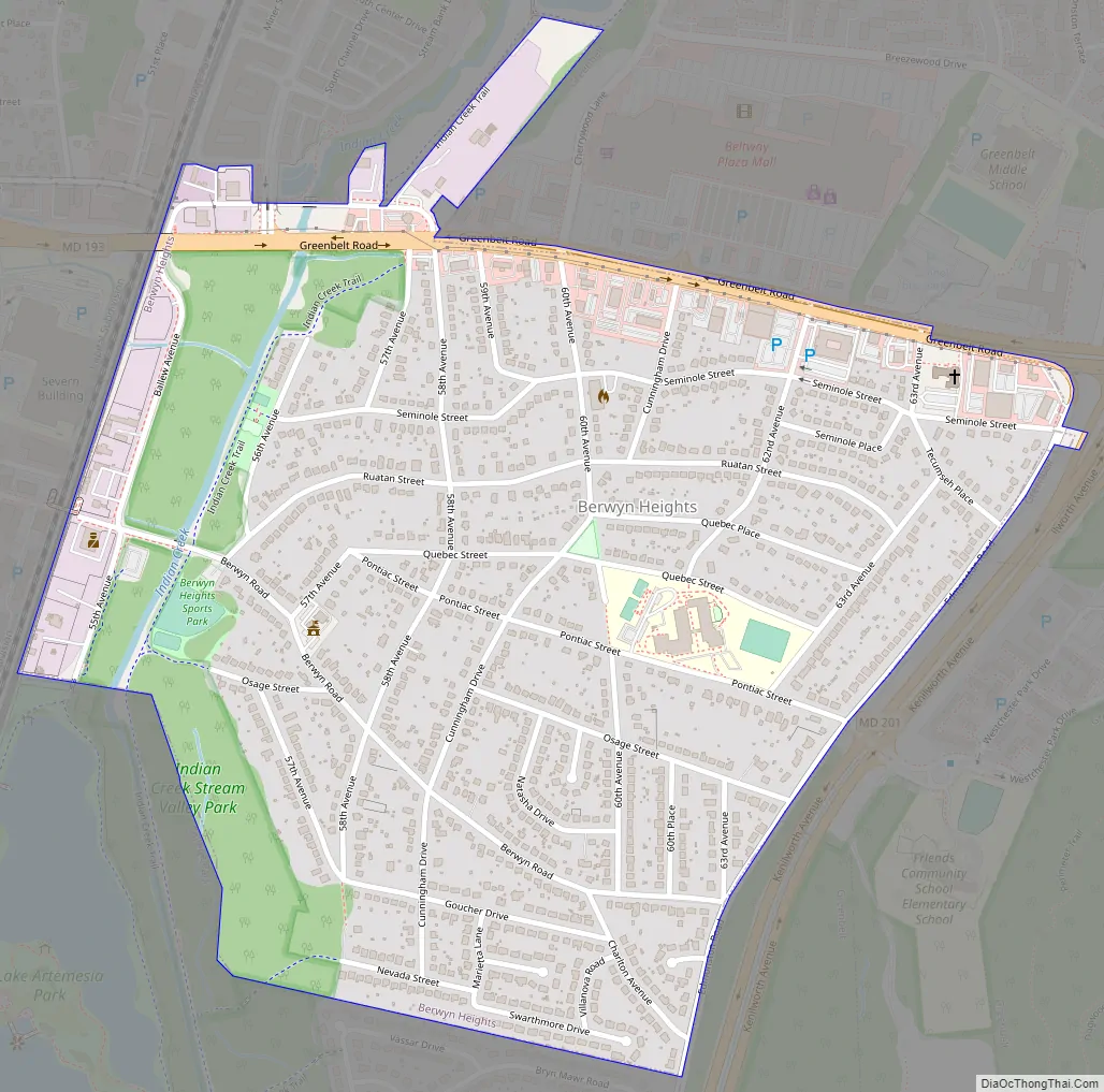
Berwyn Heights Road Map
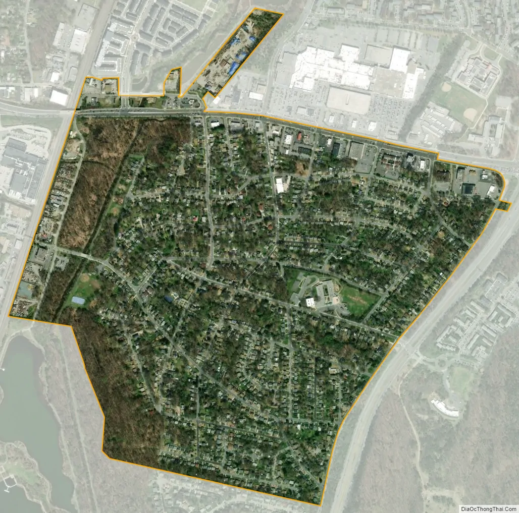
Berwyn Heights city Satellite Map
Geography
Berwyn Heights is located at 38°59′38″N 76°54′44″W / 38.99389°N 76.91222°W / 38.99389; -76.91222 (38.993810, -76.912344). According to the United States Census Bureau, the town has a total area of 0.69 square miles (1.79 km), all land.
See also
Map of Maryland State and its subdivision: Map of other states:- Alabama
- Alaska
- Arizona
- Arkansas
- California
- Colorado
- Connecticut
- Delaware
- District of Columbia
- Florida
- Georgia
- Hawaii
- Idaho
- Illinois
- Indiana
- Iowa
- Kansas
- Kentucky
- Louisiana
- Maine
- Maryland
- Massachusetts
- Michigan
- Minnesota
- Mississippi
- Missouri
- Montana
- Nebraska
- Nevada
- New Hampshire
- New Jersey
- New Mexico
- New York
- North Carolina
- North Dakota
- Ohio
- Oklahoma
- Oregon
- Pennsylvania
- Rhode Island
- South Carolina
- South Dakota
- Tennessee
- Texas
- Utah
- Vermont
- Virginia
- Washington
- West Virginia
- Wisconsin
- Wyoming


