Map of Templeville town

Map of Templeville town

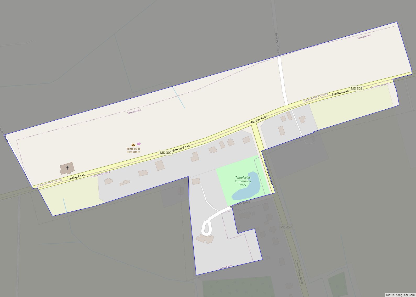
Templeville is a town in Caroline and Queen Anne’s counties, Maryland, United States. Templeville is located near the Maryland-Delaware line. The population was 138 at the 2010 census. It was known as Bullock Town until the name was changed in 1847. The name Templeville derives from the Temple family, whose most famous member was Governor … Read more

Map of Temple Hills CDP

Map of Temple Hills CDP

Temple Hills is an unincorporated area and census-designated place (CDP) in Prince George’s County, Maryland, United States. Temple Hills borders the communities of Hillcrest Heights, Marlow Heights, Camp Springs and Oxon Hill. Per the 2020 census, the population was 8,350. The community was named after Edward Temple, who in the 1860s lived in a home … Read more

Map of Taylors Island CDP

Map of Taylors Island CDP

Taylors Island is an unincorporated community and census-designated place in Dorchester County, Maryland, United States, in the state’s Eastern Shore region. The population was 173 at the 2010 census. It is known for hunting, crabbing and fishing. Ridgeton Farm was listed on the National Register of Historic Places in 1977. Bethlehem Methodist Episcopal Church and … Read more

Map of Tilghmanton CDP

Map of Tilghmanton CDP

Tilghmanton is an unincorporated community and census-designated place in Washington County, Maryland, United States. Its population was 465 as of the 2010 census. Tilghmanton CDP overview: Name: Tilghmanton CDP LSAD Code: 57 LSAD Description: CDP (suffix) State: Maryland County: Washington County Total Area: 0.46 sq mi (1.20 km²) Land Area: 0.46 sq mi (1.20 km²) Water Area: 0.00 sq mi (0.00 km²) Total Population: … Read more

Map of Tilghman Island CDP

Map of Tilghman Island CDP

Tilghman Island is an island in the Chesapeake Bay. It is part of Talbot County, Maryland, United States. Tilghman Island CDP overview: Name: Tilghman Island CDP LSAD Code: 57 LSAD Description: CDP (suffix) State: Maryland County: Talbot County Elevation: 7 ft (2 m) Total Area: 2.54 sq mi (6.57 km²) Land Area: 2.40 sq mi (6.21 km²) Water Area: 0.14 sq mi (0.36 km²) Total Population: … Read more

Map of Thurmont town

Map of Thurmont town

Thurmont is a town in Frederick County, Maryland, United States. The population was 6,935 at the 2020 census. The town is located in the northern part of Frederick County (north of Frederick, the county seat), approximately ten miles from the Pennsylvania border, along U.S. Highway 15. It is very close to Cunningham Falls State Park … Read more

Map of Towson CDP

Map of Towson CDP

Towson (/ˈtaʊsən/) is an unincorporated community and a census-designated place in Baltimore County, Maryland, United States. The population was 55,197 as of the 2010 census. It is the county seat of Baltimore County and the second-most populous unincorporated county seat in the United States (after Ellicott City, the seat of nearby Howard County, southwest of … Read more

Map of Tolchester CDP

Map of Tolchester CDP

Tolchester is a census-designated place in Kent County, Maryland, United States. Its population was 329 as of the 2010 census. The CDP covers the unincorporated community commonly known as Tolchester Beach. Tolchester CDP overview: Name: Tolchester CDP LSAD Code: 57 LSAD Description: CDP (suffix) State: Maryland County: Kent County Elevation: 26 ft (8 m) Total Area: 0.62 sq mi … Read more

Map of Timonium CDP

Map of Timonium CDP

Timonium /ˌtɪˈmoʊniːəm/ is a census-designated place (CDP) in Baltimore County, Maryland, United States. As of the 2010 census it had a population of 9,926. Prior to 2010 the area was part of the Lutherville-Timonium CDP. The Maryland State Fair is held in Timonium each year near Labor Day on the grounds of the former Timonium … Read more

Map of Trego-Rohrersville Station CDP

Map of Trego-Rohrersville Station CDP

Trego-Rohrersville Station is an unincorporated community and census-designated place in Washington County, Maryland, United States. Its population was 160 as of the 2020 census. Trego-Rohrersville Station CDP overview: Name: Trego-Rohrersville Station CDP LSAD Code: 57 LSAD Description: CDP (suffix) State: Maryland County: Washington County Total Area: 0.43 sq mi (1.10 km²) Land Area: 0.43 sq mi (1.10 km²) Water Area: 0.00 sq mi … Read more

Map of Travilah CDP

Map of Travilah CDP

Travilah is a United States census-designated place and an unincorporated area in Montgomery County, Maryland. It is 17.28 square miles (44.8 km) located along the north side of the Potomac River, and surrounded by the communities of Potomac, North Potomac, and Darnestown—all census-designated places. It had a population of 11,985 as of the 2020 census. Within … Read more

Map of Trappe town

Map of Trappe town, Maryland

Trappe is a town in Talbot County, Maryland, United States. The population was 1,077 at the 2010 census. It is the site of one of the largest mixed-use developments on the U.S. East Coast called Trappe East or “Lakeside” with controversy arising over its wastewater treatment. Trappe town overview: Name: Trappe town LSAD Code: 43 … Read more