Trappe is a town in Talbot County, Maryland, United States. The population was 1,077 at the 2010 census. It is the site of one of the largest mixed-use developments on the U.S. East Coast called Trappe East or “Lakeside” with controversy arising over its wastewater treatment.
| Name: | Trappe town |
|---|---|
| LSAD Code: | 43 |
| LSAD Description: | town (suffix) |
| State: | Maryland |
| County: | Talbot County |
| Incorporated: | 1827 |
| Elevation: | 52 ft (16 m) |
| Total Area: | 2.67 sq mi (6.91 km²) |
| Land Area: | 2.67 sq mi (6.91 km²) |
| Water Area: | 0.00 sq mi (0.00 km²) |
| Total Population: | 1,177 |
| Population Density: | 441.32/sq mi (170.41/km²) |
| ZIP code: | 21673 |
| Area code: | 410 |
| FIPS code: | 2478575 |
| GNISfeature ID: | 0591425 |
| Website: | http://trappemd.net/ |
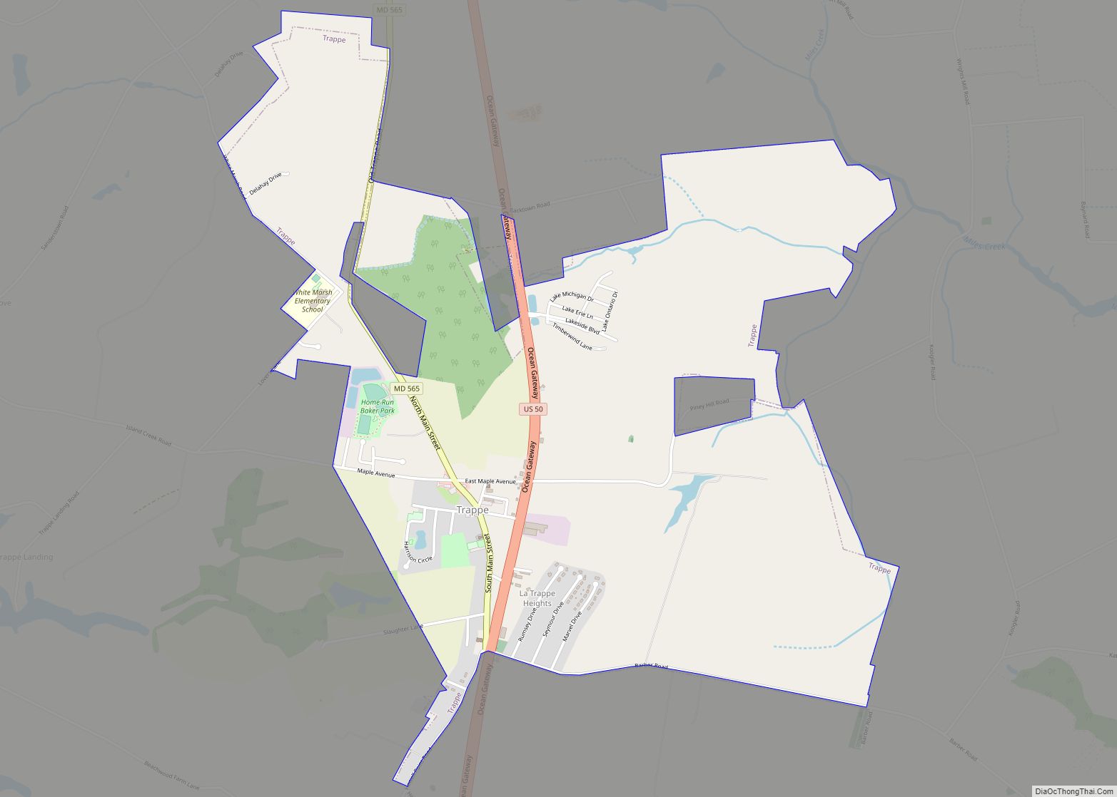
Online Interactive Map
Click on ![]() to view map in "full screen" mode.
to view map in "full screen" mode.
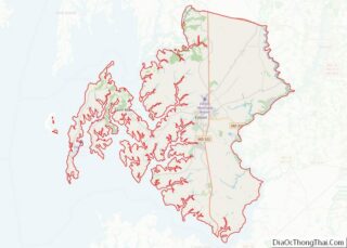
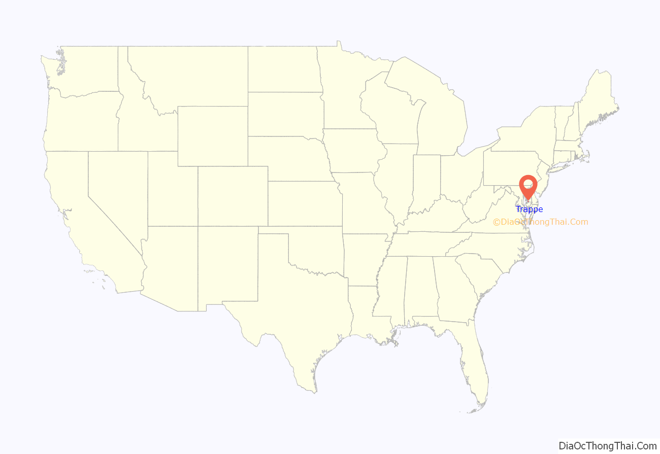
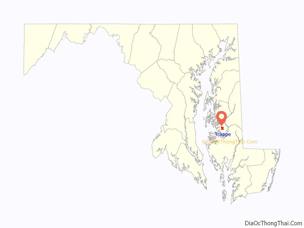
Trappe location map. Where is Trappe town?
History
Trappe was incorporated in 1827. It may have been named for either wolf traps or a Trappist monastery.
Compton and The Wilderness are listed on the National Register of Historic Places.
A Blessing Box was installed at the Trappe Volunteer Firehouse in 2019 by Josh Cherry.
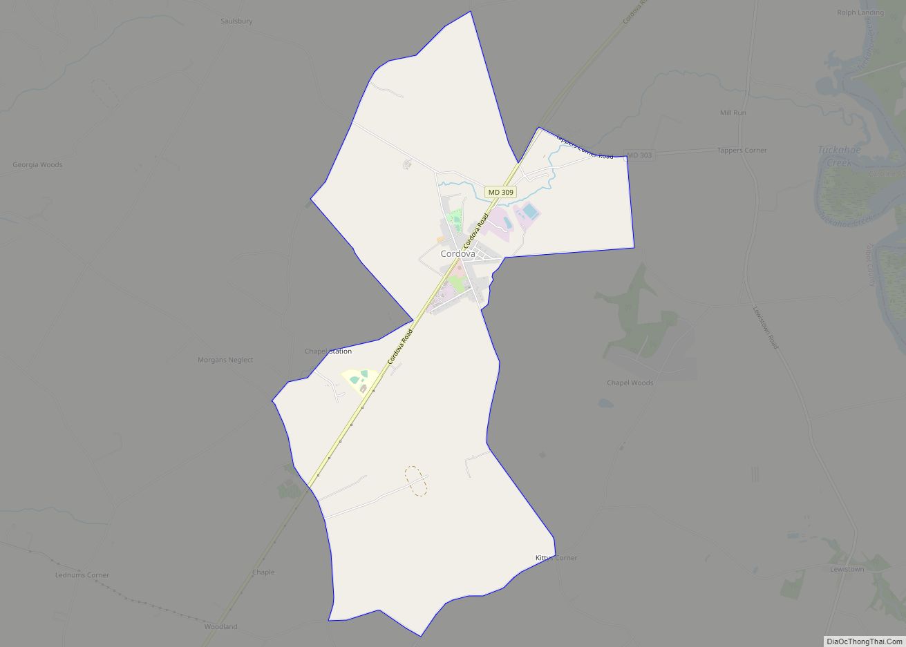
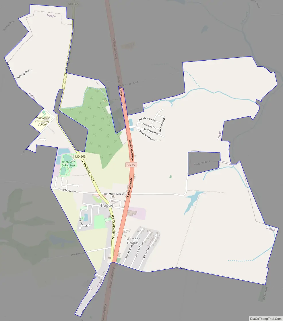
Trappe Road Map
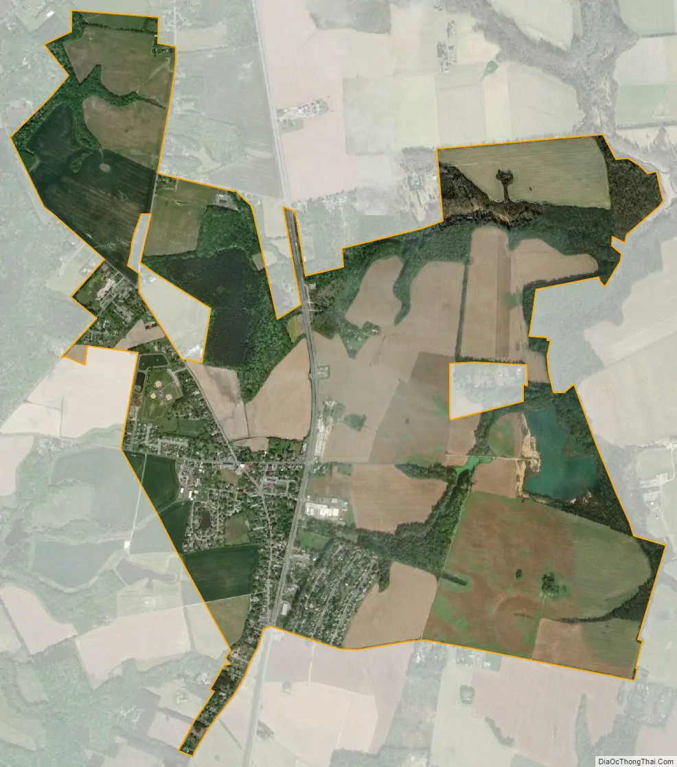
Trappe city Satellite Map
Geography
Trappe is located at 38°39′36″N 76°3′29″W / 38.66000°N 76.05806°W / 38.66000; -76.05806 (38.659870, -76.058053).
According to the United States Census Bureau, the town has a total area of 2.78 square miles (7.20 km), all land.
See also
Map of Maryland State and its subdivision: Map of other states:- Alabama
- Alaska
- Arizona
- Arkansas
- California
- Colorado
- Connecticut
- Delaware
- District of Columbia
- Florida
- Georgia
- Hawaii
- Idaho
- Illinois
- Indiana
- Iowa
- Kansas
- Kentucky
- Louisiana
- Maine
- Maryland
- Massachusetts
- Michigan
- Minnesota
- Mississippi
- Missouri
- Montana
- Nebraska
- Nevada
- New Hampshire
- New Jersey
- New Mexico
- New York
- North Carolina
- North Dakota
- Ohio
- Oklahoma
- Oregon
- Pennsylvania
- Rhode Island
- South Carolina
- South Dakota
- Tennessee
- Texas
- Utah
- Vermont
- Virginia
- Washington
- West Virginia
- Wisconsin
- Wyoming