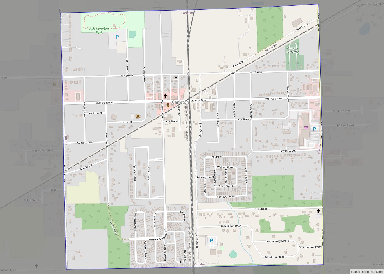
Carleton is a village in Monroe County in the U.S. state of Michigan. The population was 2,326 at the 2020 census. The village is located within Ash Township. Carleton village overview: Name: Carleton village LSAD Code: 47 LSAD Description: village (suffix) State: Michigan County: Monroe County Incorporated: 1911 Elevation: 617 ft (188 m) Total Area: 0.99 sq mi (2.56 km²) ... Read more
Michigan Cities and Places
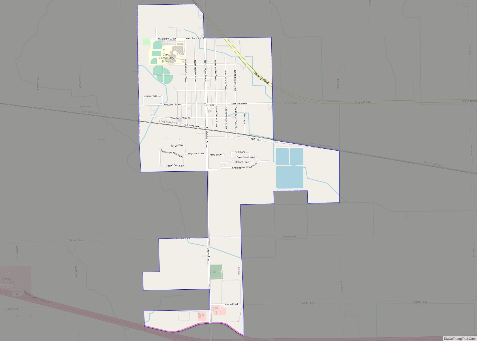
Capac is a village in Mussey Township, St. Clair County in the U.S. state of Michigan. The population was 1,890 at the 2010 census. Capac village overview: Name: Capac village LSAD Code: 47 LSAD Description: village (suffix) State: Michigan County: St. Clair County Founded: 1857 Elevation: 814 ft (248 m) Total Area: 1.91 sq mi (4.95 km²) Land Area: 1.86 sq mi ... Read more
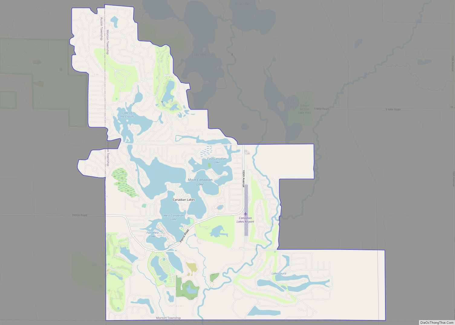
Canadian Lakes is an unincorporated community in Mecosta County in the U.S. state of Michigan. The area is mostly within the southwest portion of Morton Township, southwest of Mecosta and east of Stanwood. For statistical reporting, the U.S. Census Bureau has defined a census-designated place (CDP) with the same name. As of the 2000 census, ... Read more
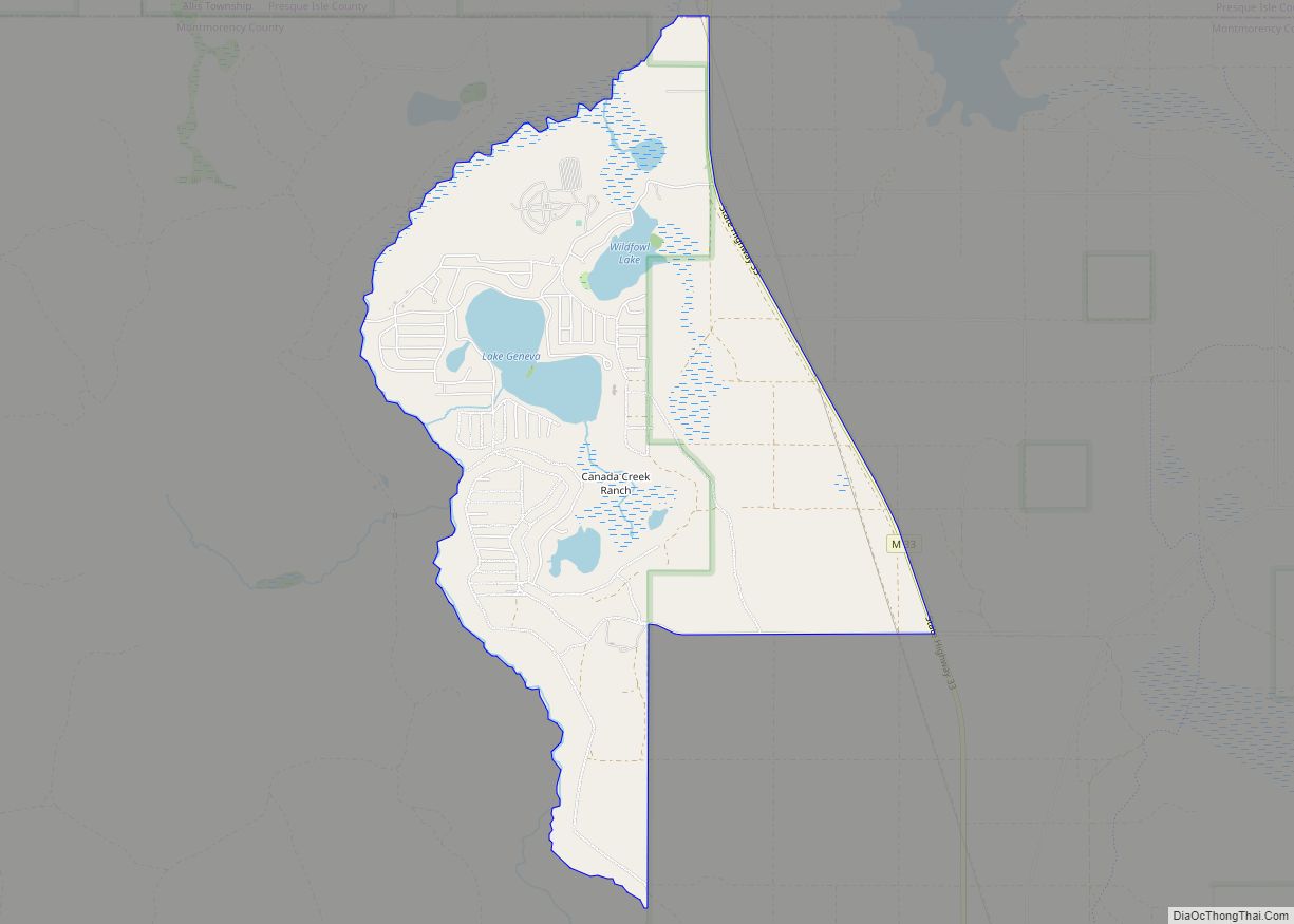
Canada Creek Ranch is an unincorporated community in Montmorency Township, Montmorency County in the U.S. state of Michigan. It is a census-designated place (CDP) used for statistical purposes. The population was 405 at the 2000 census. Canada Creek Ranch CDP overview: Name: Canada Creek Ranch CDP LSAD Code: 57 LSAD Description: CDP (suffix) State: Michigan ... Read more
Camden is a village in Hillsdale County in the U.S. state of Michigan. The population was 496 at the 2020 census. The village is located within Camden Township. Camden village overview: Name: Camden village LSAD Code: 47 LSAD Description: village (suffix) State: Michigan County: Hillsdale County Founded: 1837 Incorporated: 1899 Elevation: 1,020 ft (311 m) Total Area: ... Read more
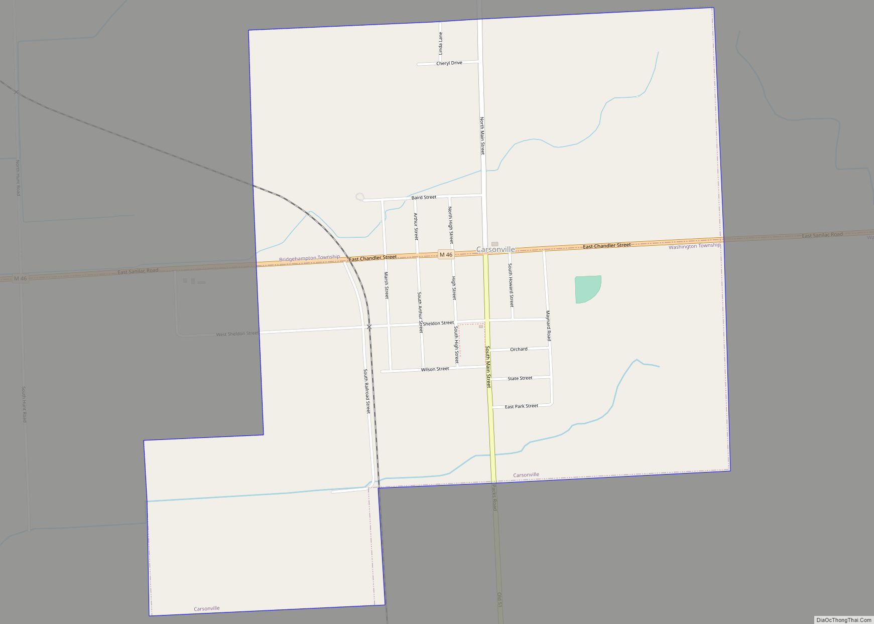
Carsonville is a village in Sanilac County of the U.S. state of Michigan. The population was 527 at the 2010 census. The village is situated at 43°25′37″N 82°40′17″W / 43.42694°N 82.67139°W / 43.42694; -82.67139 on the boundary between Bridgehampton Township and Washington Township, with about half the village in each. The village began with a ... Read more
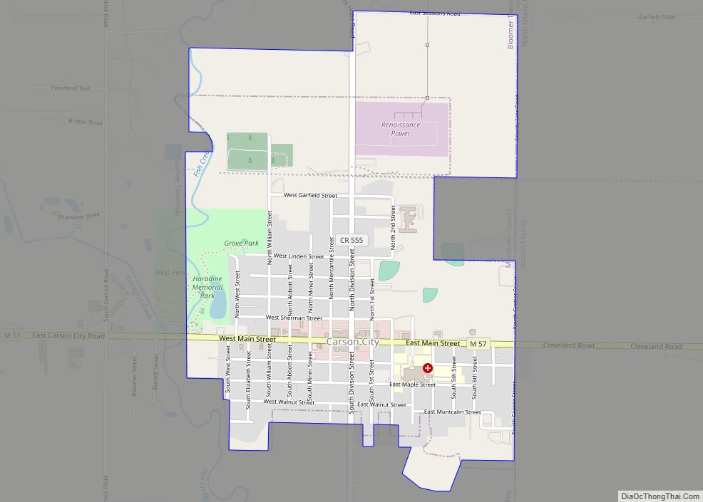
Carson City is a city in Montcalm County of the U.S. state of Michigan. The population was 1,093 at the 2010 census. Carson City city overview: Name: Carson City city LSAD Code: 25 LSAD Description: city (suffix) State: Michigan County: Montcalm County Elevation: 761 ft (232 m) Total Area: 1.17 sq mi (3.04 km²) Land Area: 1.14 sq mi (2.96 km²) Water Area: ... Read more
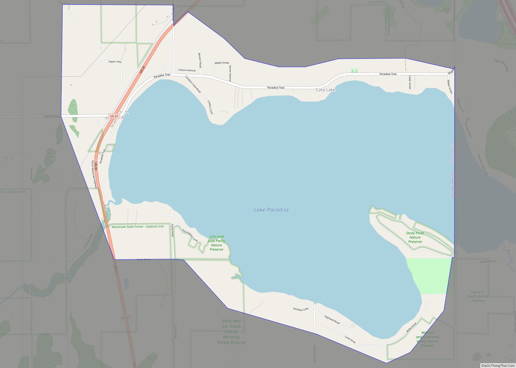
Carp Lake is an unincorporated community and census-designated place (CDP) in Emmet County in the U.S. state of Michigan. As of the 2010 census, the CDP had a population of 357. It is located within Carp Lake Township. It was founded by Octave Terrian and later became a station on the Grand Rapids and Indiana ... Read more
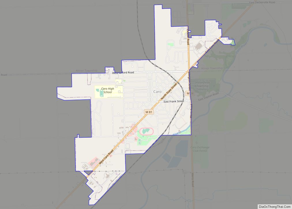
Caro is a city in and the county seat of Tuscola County, Michigan, United States. The population was 4,328 at the 2020 census and 4,145 at the 2000 census (an increase of 4.4%). Caro is located northeast of Flint and east of Saginaw in Michigan’s Upper Thumb region. Caro city overview: Name: Caro city LSAD ... Read more
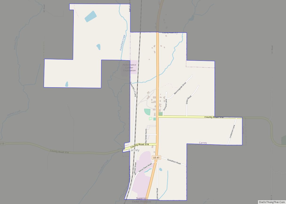
Carney is a village in Menominee County of the U.S. state of Michigan. The population was 192 at the 2010 census. The village is within Nadeau Township. Carney is part of the Marinette, WI–MI Micropolitan Statistical Area. Carney village overview: Name: Carney village LSAD Code: 47 LSAD Description: village (suffix) State: Michigan County: Menominee County ... Read more
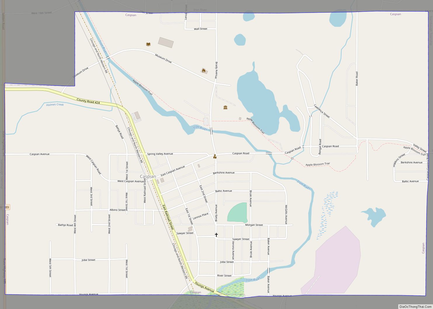
Caspian is a city in Iron County in the U.S. state of Michigan. The population was 906 at the time of the 2010 census. The city has an Italian heritage. Caspian city overview: Name: Caspian city LSAD Code: 25 LSAD Description: city (suffix) State: Michigan County: Iron County Elevation: 1,496 ft (456 m) Total Area: 1.43 sq mi (3.69 km²) ... Read more
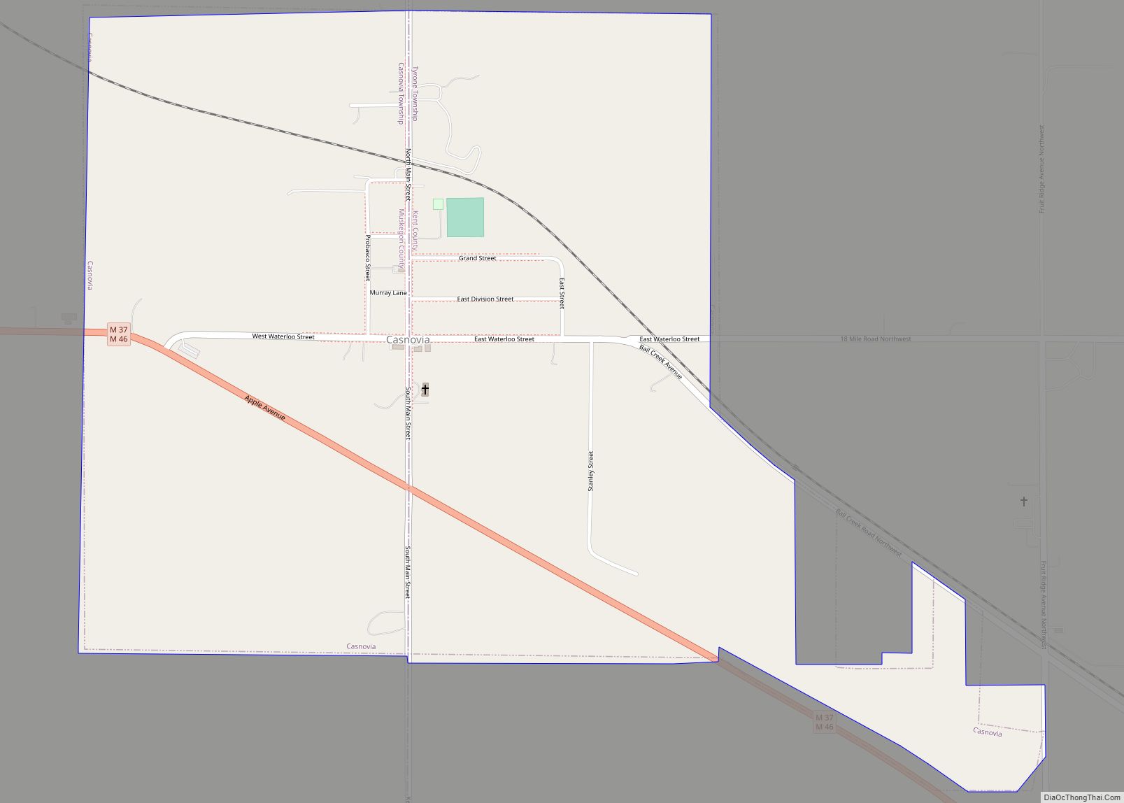
Casnovia is a village in the U.S. state of Michigan. It is situated on the boundary between Muskegon and Kent counties and lies partially within both. The population was 319 at the 2010 census. The village is located partially within Tyrone Township. Casnovia village overview: Name: Casnovia village LSAD Code: 47 LSAD Description: village (suffix) ... Read more
