Caro is a city in and the county seat of Tuscola County, Michigan, United States. The population was 4,328 at the 2020 census and 4,145 at the 2000 census (an increase of 4.4%).
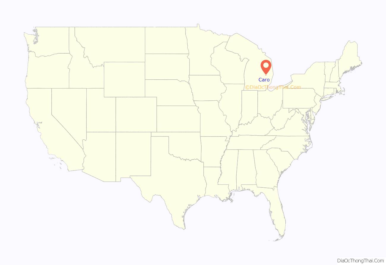
Caro is located northeast of Flint and east of Saginaw in Michigan’s Upper Thumb region.
| Name: | Caro city |
|---|---|
| LSAD Code: | 25 |
| LSAD Description: | city (suffix) |
| State: | Michigan |
| County: | Tuscola County |
| Elevation: | 725 ft (221 m) |
| Total Area: | 2.95 sq mi (7.65 km²) |
| Land Area: | 2.94 sq mi (7.62 km²) |
| Water Area: | 0.01 sq mi (0.03 km²) |
| Total Population: | 4,328 |
| Population Density: | 1,470.11/sq mi (567.61/km²) |
| ZIP code: | 48723-1426 |
| Area code: | 989 |
| FIPS code: | 2613420 |
| GNISfeature ID: | 622746 |
| Website: | http://www.carocity.net/ |
Online Interactive Map
Click on ![]() to view map in "full screen" mode.
to view map in "full screen" mode.
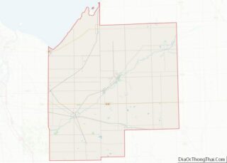
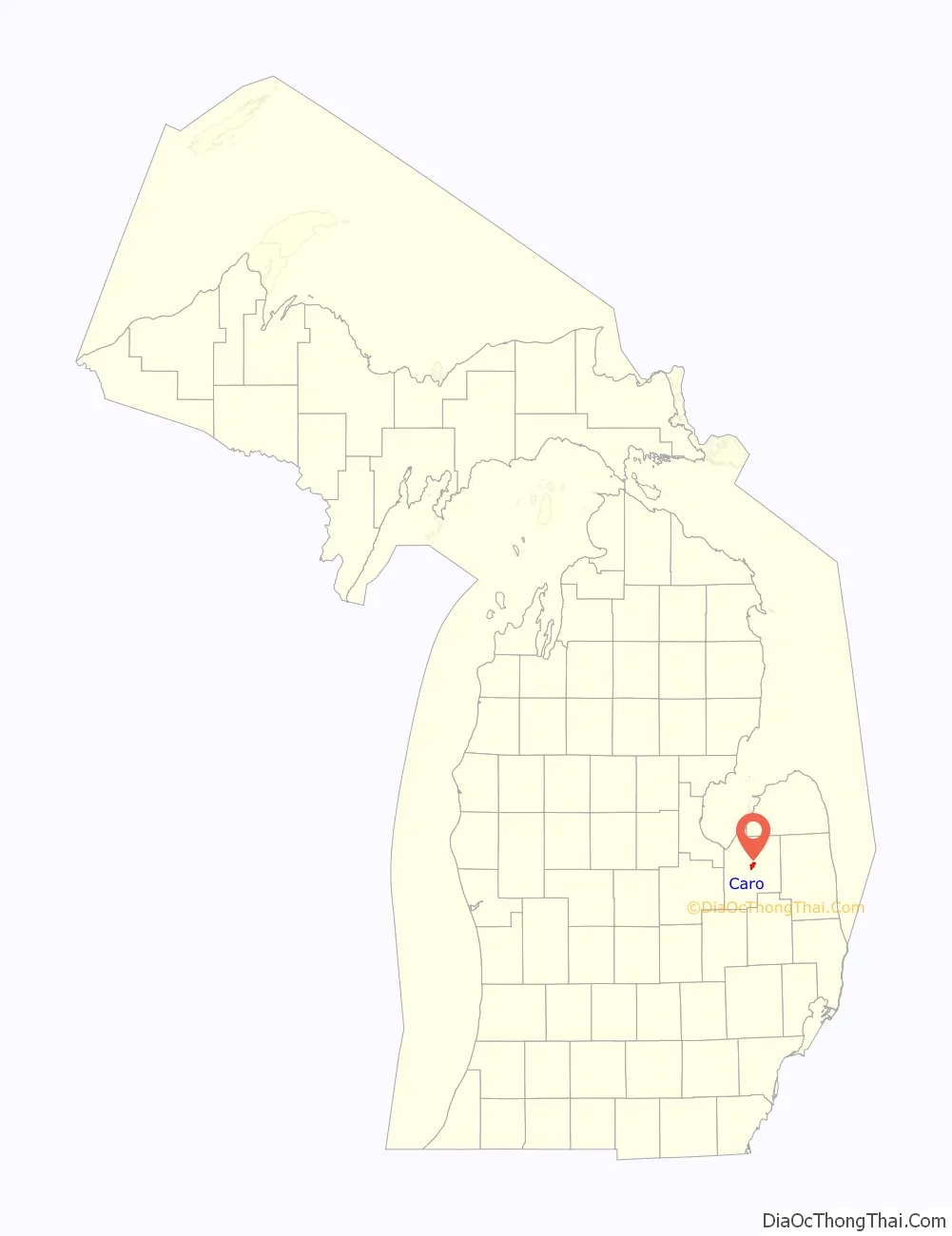
Caro location map. Where is Caro city?
History
Caro began as a logging camp on the Cass River established by Curtis Emerson in 1847.
Later Samuel P. Sherman, who purchased 63 acres (250,000 m) in the north half of the northwest quarter of section 3 in Indianfields Township on September 8, 1852. Prior to this, only two land sales had been recorded, both for lumbering or speculative purposes. His son, William E. Sherman, had worked in the lumber industry nearby on the Cass River for some time prior to 1852 and William’s favorable report persuaded his father to visit in 1851 and afterward purchased several tracts of land in addition to his initial purchase.
In the 1856-57 session of the Michigan Legislature, construction of a road was authorized from Bridgeport in Saginaw County northeast to Forestville in Sanilac County, with a route that would pass through what is now Caro. Once the road was cleared, commercial interests began to locate here. Melvin Gibbs, who had been keeping a hotel in an old log house, in 1858 put up a new frame building, known as the Gibbs House. In 1859, William E. Sherman built another hotel, which he named the Centerville House, based on the location being near the center of the county. The name Centerville became associated with the developing community.
In 1865, Centerville was selected as the county seat. A post office named Tuscola Center was established on April 25, 1866. To address the confusion caused by the differing names, community leaders met in 1868, and at the suggestion of William, E Sherman selected the name Caro, based on a variant spelling of the Egyptian city of Cairo.
On July 23, 2007, Governor Jennifer Granholm announced Caro as a community chosen by the Michigan State Housing Development Authority (MSHDA) to take part in the Blueprints for Downtowns program. Caro will receive a comprehensive, market-driven strategy toward developing an action-oriented downtown that will result in economic growth, job creation and private investments.
Caro residents voted in favor of changing to the status of a city on November 3, 2009. Village President Tom Striffler was elected to the position of mayor. Elected to the city council were Mike Henry, Rick Lipan, Joe Greene, Charlotte Kish, Amanda Langmaid, and Richard Pouliot.
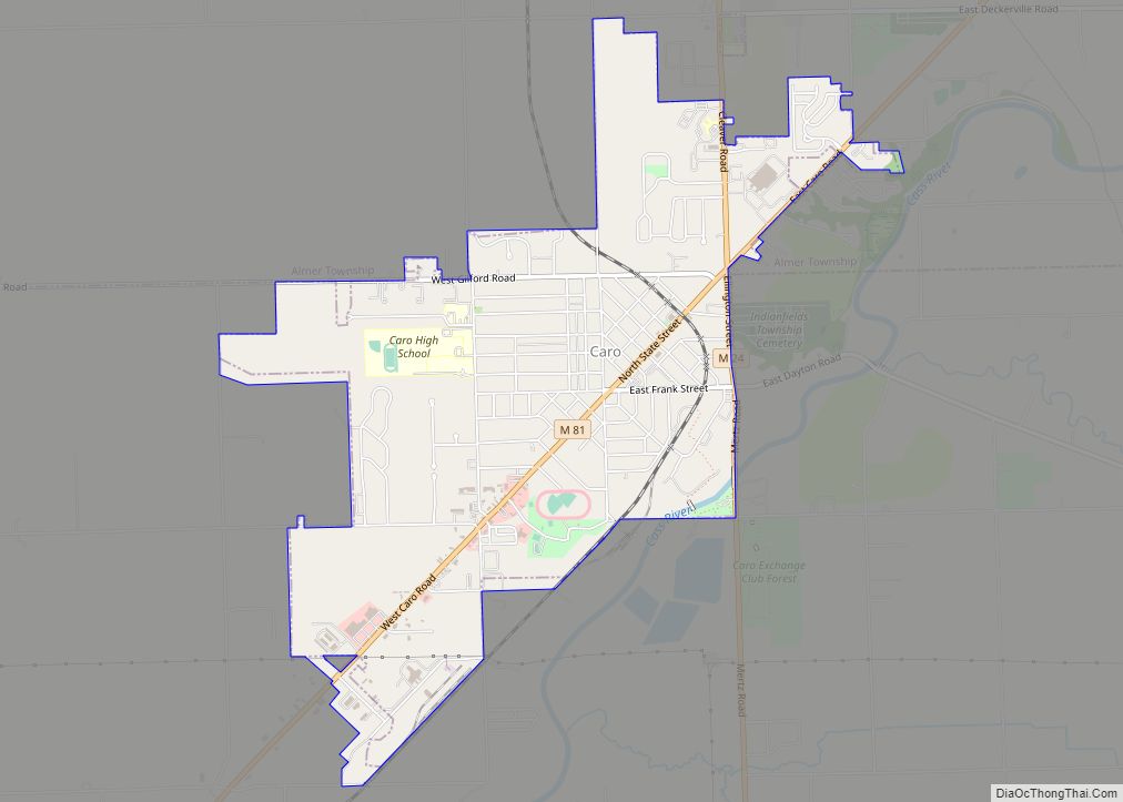
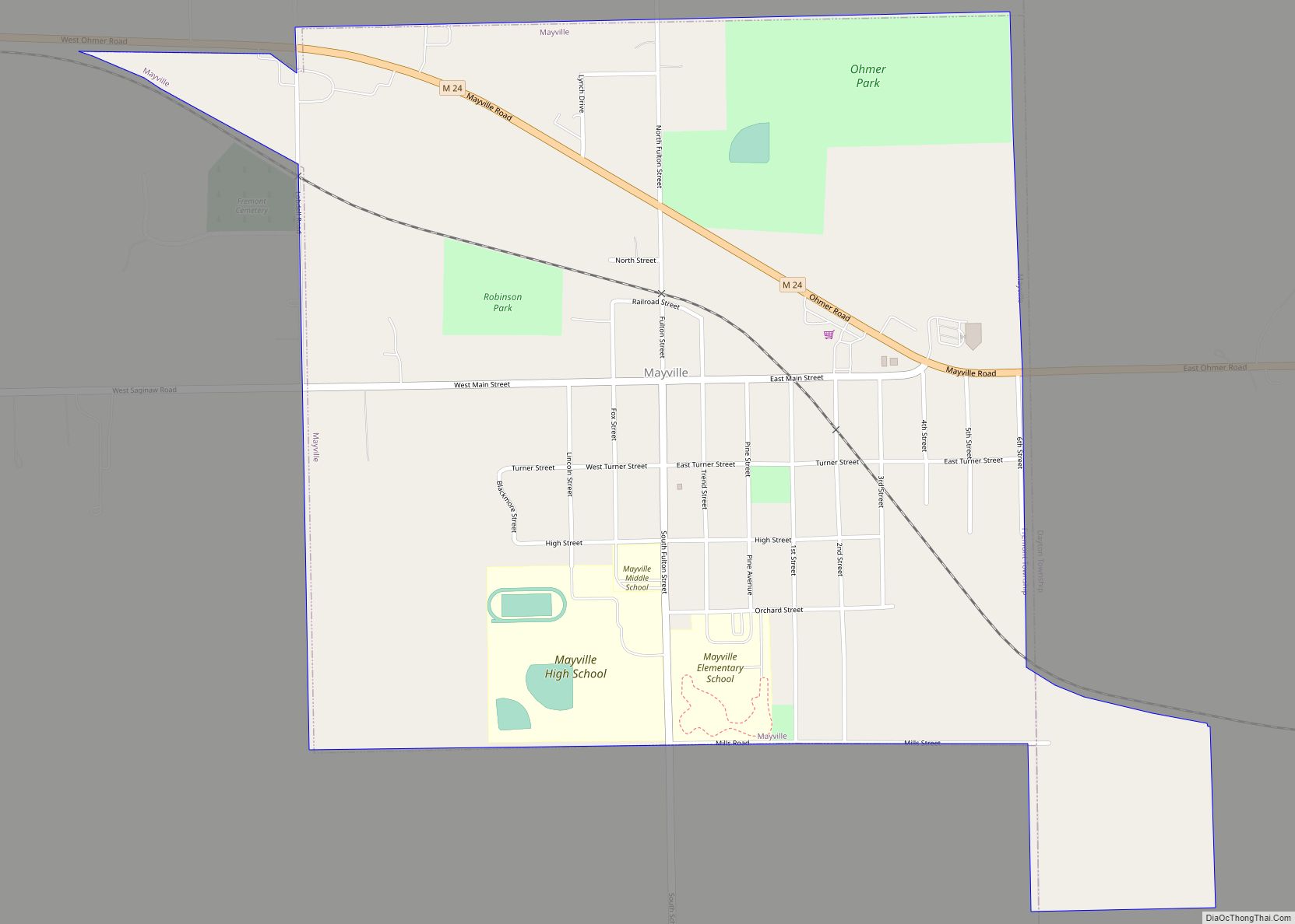
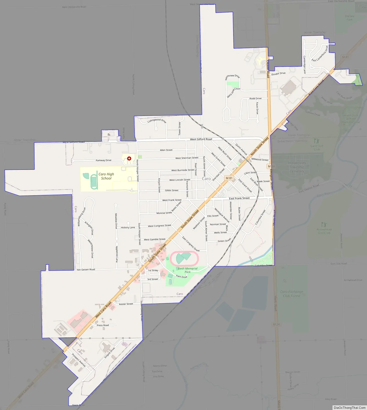
Caro Road Map
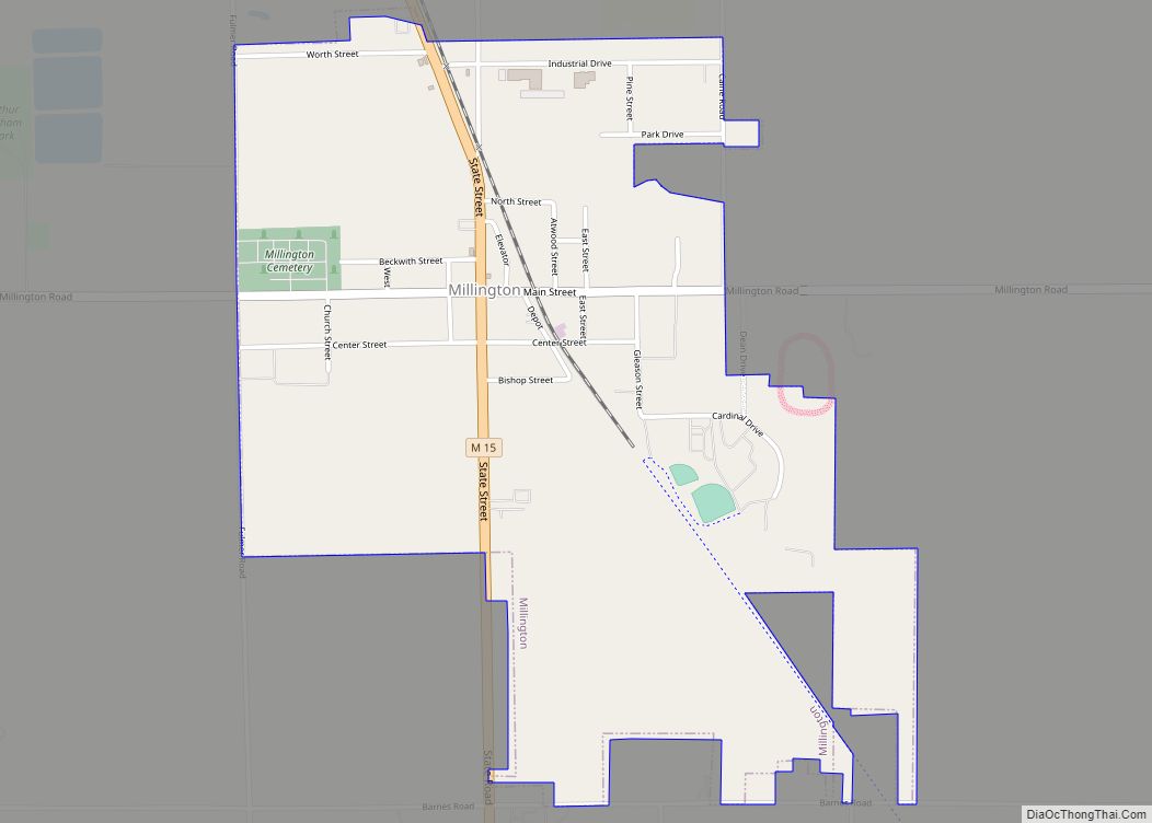
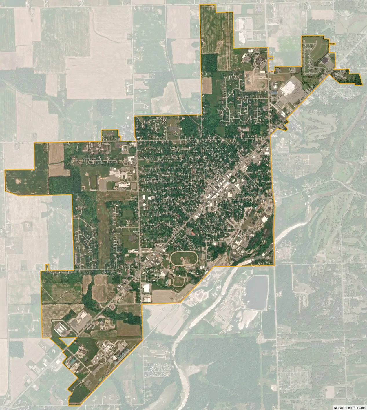
Caro city Satellite Map
Geography
According to the United States Census Bureau, the city has a total area of 2.80 square miles (7.25 km), of which 2.79 square miles (7.23 km) is land and 0.01 square miles (0.03 km) is water.
Caro is located in central Tuscola County, surrounded by Indianfields Township on its west, south, and east. Almer Township surrounds the northern part of the city. The Caro post office, with ZIP code 48723, also serves nearly all of Indianfields and Almer townships, as well as smaller portions of Wells Township to the east of Indianfields, Dayton Township to the southeast of Indianfields, Fremont Township to the south of Indianfields, Juniata Township to the west of Indianfields, Fairgrove Township to the northwest of Indianfields, Columbia Township, to the north of Almer, Elmwood Township to the northeast of Almer, and Ellington Township to the east of Almer.
See also
Map of Michigan State and its subdivision:- Alcona
- Alger
- Allegan
- Alpena
- Antrim
- Arenac
- Baraga
- Barry
- Bay
- Benzie
- Berrien
- Branch
- Calhoun
- Cass
- Charlevoix
- Cheboygan
- Chippewa
- Clare
- Clinton
- Crawford
- Delta
- Dickinson
- Eaton
- Emmet
- Genesee
- Gladwin
- Gogebic
- Grand Traverse
- Gratiot
- Hillsdale
- Houghton
- Huron
- Ingham
- Ionia
- Iosco
- Iron
- Isabella
- Jackson
- Kalamazoo
- Kalkaska
- Kent
- Keweenaw
- Lake
- Lake Hurron
- Lake Michigan
- Lake St. Clair
- Lake Superior
- Lapeer
- Leelanau
- Lenawee
- Livingston
- Luce
- Mackinac
- Macomb
- Manistee
- Marquette
- Mason
- Mecosta
- Menominee
- Midland
- Missaukee
- Monroe
- Montcalm
- Montmorency
- Muskegon
- Newaygo
- Oakland
- Oceana
- Ogemaw
- Ontonagon
- Osceola
- Oscoda
- Otsego
- Ottawa
- Presque Isle
- Roscommon
- Saginaw
- Saint Clair
- Saint Joseph
- Sanilac
- Schoolcraft
- Shiawassee
- Tuscola
- Van Buren
- Washtenaw
- Wayne
- Wexford
- Alabama
- Alaska
- Arizona
- Arkansas
- California
- Colorado
- Connecticut
- Delaware
- District of Columbia
- Florida
- Georgia
- Hawaii
- Idaho
- Illinois
- Indiana
- Iowa
- Kansas
- Kentucky
- Louisiana
- Maine
- Maryland
- Massachusetts
- Michigan
- Minnesota
- Mississippi
- Missouri
- Montana
- Nebraska
- Nevada
- New Hampshire
- New Jersey
- New Mexico
- New York
- North Carolina
- North Dakota
- Ohio
- Oklahoma
- Oregon
- Pennsylvania
- Rhode Island
- South Carolina
- South Dakota
- Tennessee
- Texas
- Utah
- Vermont
- Virginia
- Washington
- West Virginia
- Wisconsin
- Wyoming