Cassopolis (/ˌkəˈsɒpəlɪs/ kə-SAH-pə-liss) is a village in the U.S. state of Michigan and the county seat of Cass County. It is located mostly in LaGrange Township with a small portion extending east into Penn Township. The village and county are named after statesman Lewis Cass, a New Hampshire native and a prominent U.S. senator from Michigan prior to the American Civil War.
Diamond Lake, one of the 100 largest inland lakes in Michigan, is located in Cassopolis.
Cassopolis is part of the South Bend–Mishawaka, IN-MI, Metropolitan Statistical Area sometimes referred to as Michiana. The population was 1,774 at the 2010 census. Cassopolis was platted by European Americans in 1831. It had already been designated the county seat by that point. It was incorporated as a village in 1863. The county developed farming and some industry.
Cassopolis was a transit point on the Underground Railroad, by which sympathizers aided refugee slaves from the South to gain freedom in the North and in Canada. Some refugees continued through Michigan to settle in Canada in order to avoid risk under the 1850 Fugitive Slave Law, which increased incentives for capture. However the 1850s also saw the settlement of many African-Americans and people of mixed African-American and Sapponi and Pumenkey ancestry in Cass County.
In the 1960s, a group of African Americans connected to the Nation of Islam acquired some 1,000 acres of farmland in the area. Work on this acquisition was overseen by a man who had graduated from Cassopolis High.
| Name: | Cassopolis village |
|---|---|
| LSAD Code: | 47 |
| LSAD Description: | village (suffix) |
| State: | Michigan |
| County: | Cass County |
| Elevation: | 889 ft (271 m) |
| Total Area: | 2.23 sq mi (5.79 km²) |
| Land Area: | 2.01 sq mi (5.21 km²) |
| Water Area: | 0.22 sq mi (0.58 km²) |
| Total Population: | 1,712 |
| Population Density: | 851.32/sq mi (328.70/km²) |
| Area code: | 269 |
| FIPS code: | 2613900 |
| GNISfeature ID: | 0622860 |
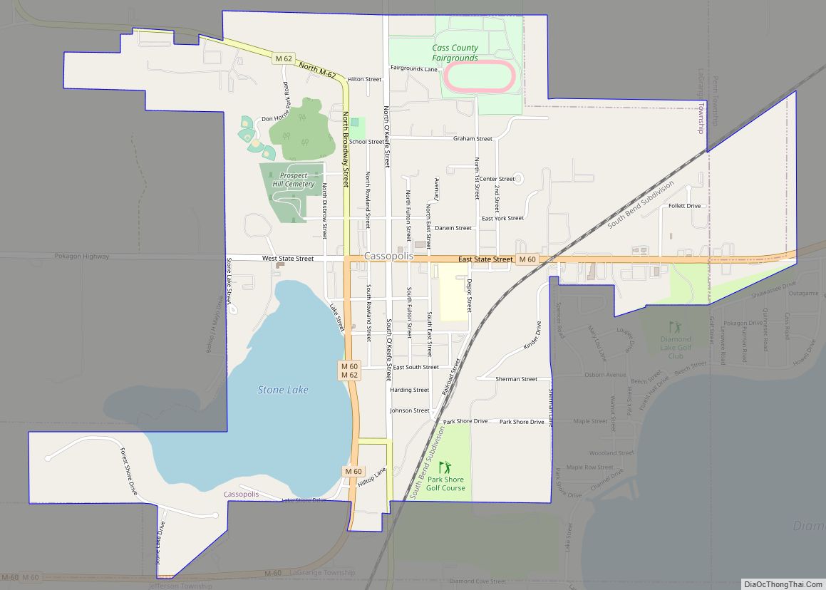
Online Interactive Map
Click on ![]() to view map in "full screen" mode.
to view map in "full screen" mode.
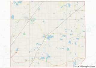
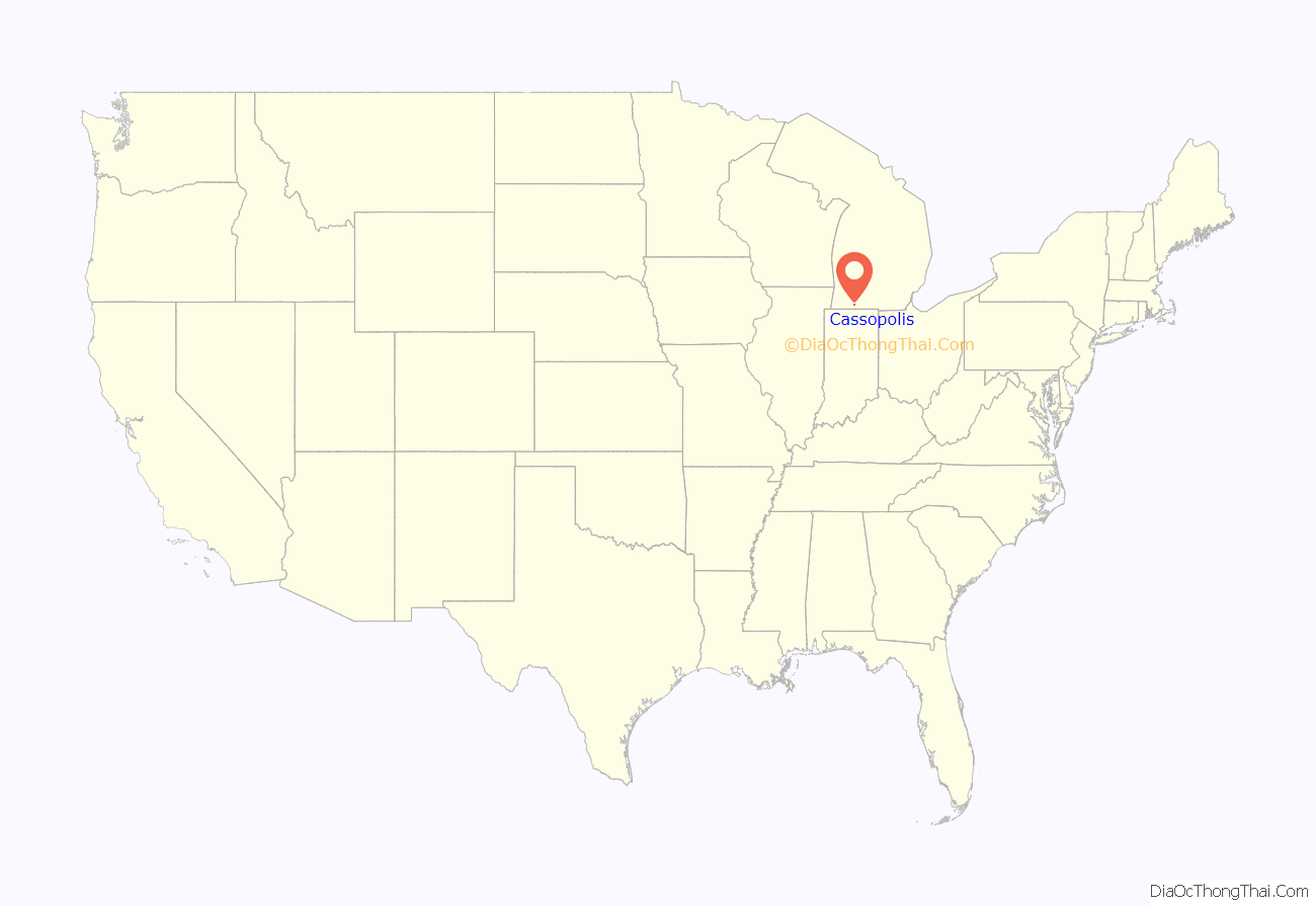
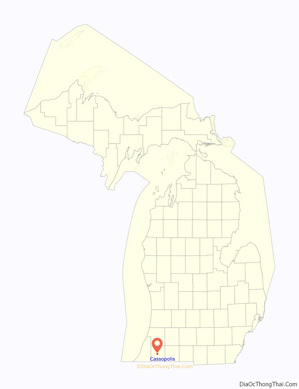
Cassopolis location map. Where is Cassopolis village?
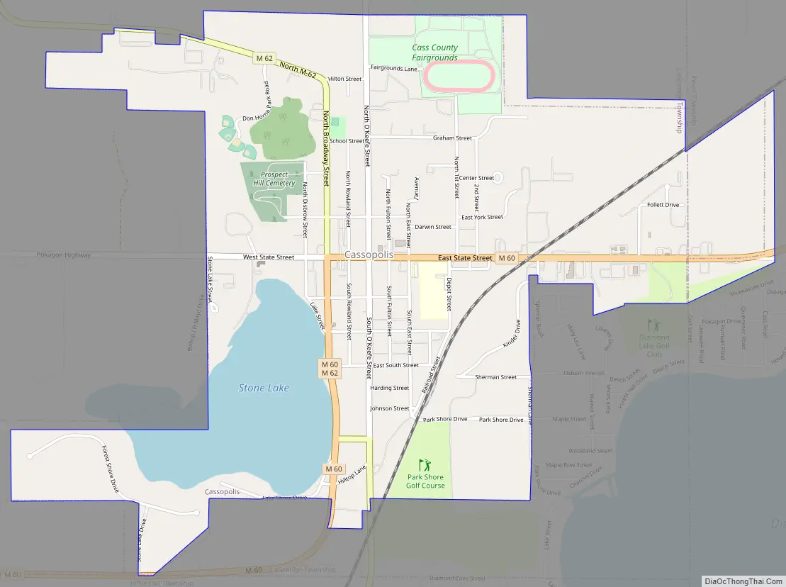
Cassopolis Road Map
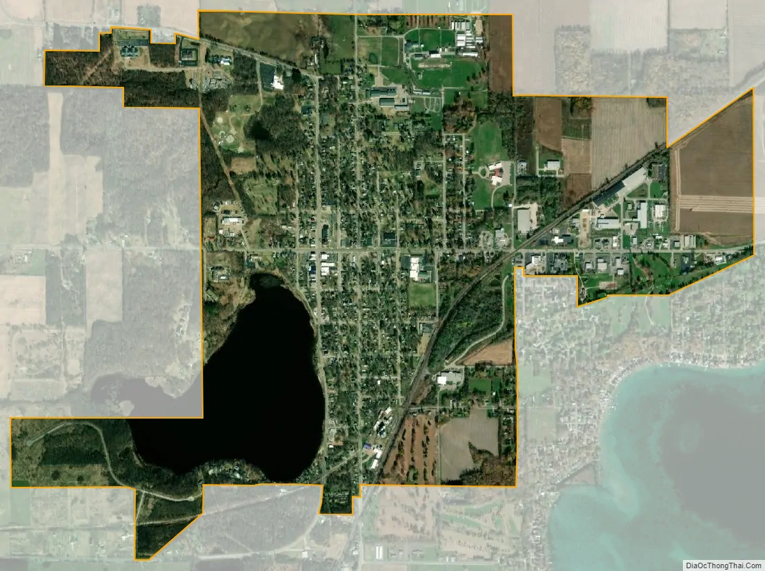
Cassopolis city Satellite Map
Geography
According to the United States Census Bureau, the village has a total area of 2.25 square miles (5.83 km), of which 2.00 square miles (5.18 km) is land and 0.25 square miles (0.65 km) is water. Cassopolis is the town associated with Diamond Lake, the largest lake in southwestern Michigan.
See also
Map of Michigan State and its subdivision:- Alcona
- Alger
- Allegan
- Alpena
- Antrim
- Arenac
- Baraga
- Barry
- Bay
- Benzie
- Berrien
- Branch
- Calhoun
- Cass
- Charlevoix
- Cheboygan
- Chippewa
- Clare
- Clinton
- Crawford
- Delta
- Dickinson
- Eaton
- Emmet
- Genesee
- Gladwin
- Gogebic
- Grand Traverse
- Gratiot
- Hillsdale
- Houghton
- Huron
- Ingham
- Ionia
- Iosco
- Iron
- Isabella
- Jackson
- Kalamazoo
- Kalkaska
- Kent
- Keweenaw
- Lake
- Lake Hurron
- Lake Michigan
- Lake St. Clair
- Lake Superior
- Lapeer
- Leelanau
- Lenawee
- Livingston
- Luce
- Mackinac
- Macomb
- Manistee
- Marquette
- Mason
- Mecosta
- Menominee
- Midland
- Missaukee
- Monroe
- Montcalm
- Montmorency
- Muskegon
- Newaygo
- Oakland
- Oceana
- Ogemaw
- Ontonagon
- Osceola
- Oscoda
- Otsego
- Ottawa
- Presque Isle
- Roscommon
- Saginaw
- Saint Clair
- Saint Joseph
- Sanilac
- Schoolcraft
- Shiawassee
- Tuscola
- Van Buren
- Washtenaw
- Wayne
- Wexford
- Alabama
- Alaska
- Arizona
- Arkansas
- California
- Colorado
- Connecticut
- Delaware
- District of Columbia
- Florida
- Georgia
- Hawaii
- Idaho
- Illinois
- Indiana
- Iowa
- Kansas
- Kentucky
- Louisiana
- Maine
- Maryland
- Massachusetts
- Michigan
- Minnesota
- Mississippi
- Missouri
- Montana
- Nebraska
- Nevada
- New Hampshire
- New Jersey
- New Mexico
- New York
- North Carolina
- North Dakota
- Ohio
- Oklahoma
- Oregon
- Pennsylvania
- Rhode Island
- South Carolina
- South Dakota
- Tennessee
- Texas
- Utah
- Vermont
- Virginia
- Washington
- West Virginia
- Wisconsin
- Wyoming