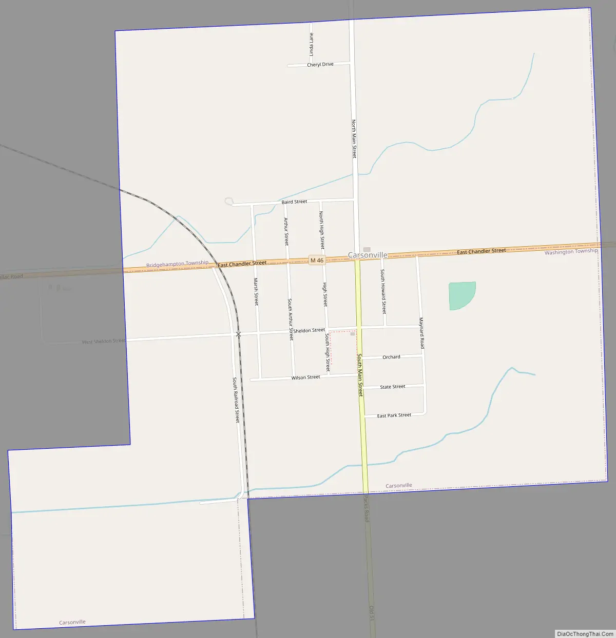
Carsonville is a village in Sanilac County of the U.S. state of Michigan. The population was 527 at the 2010 census. The village is situated at 43°25′37″N 82°40′17″W / 43.42694°N 82.67139°W / 43.42694; -82.67139 on the boundary between Bridgehampton Township and Washington Township, with about half the village in each.
The village began with a store built in 1853 operated by Silas C. Hall, who also became the first postmaster in 1857. The place was initially called Hall’s Corners. It was renamed in 1884 after local store-owner and businessman Arthur Carson, who built his first store there in 1864. The village incorporated in 1887.
| Name: | Carsonville village |
|---|---|
| LSAD Code: | 47 |
| LSAD Description: | village (suffix) |
| State: | Michigan |
| County: | Sanilac County |
| Elevation: | 810 ft (247 m) |
| Total Area: | 1.16 sq mi (3.00 km²) |
| Land Area: | 1.16 sq mi (3.00 km²) |
| Water Area: | 0.00 sq mi (0.00 km²) |
| Total Population: | 465 |
| Population Density: | 401.55/sq mi (155.09/km²) |
| ZIP code: | 48419 |
| Area code: | 810 |
| FIPS code: | 2613620 |
| GNISfeature ID: | 0622798 |
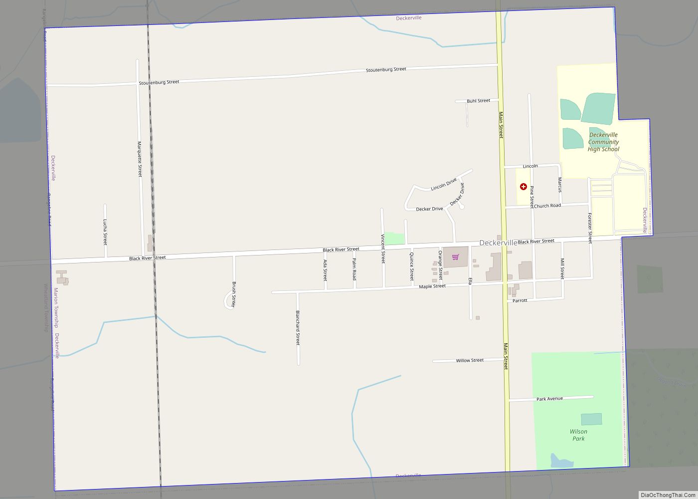
Online Interactive Map
Click on ![]() to view map in "full screen" mode.
to view map in "full screen" mode.
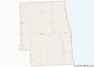
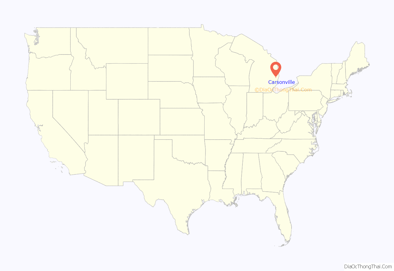
Carsonville location map. Where is Carsonville village?
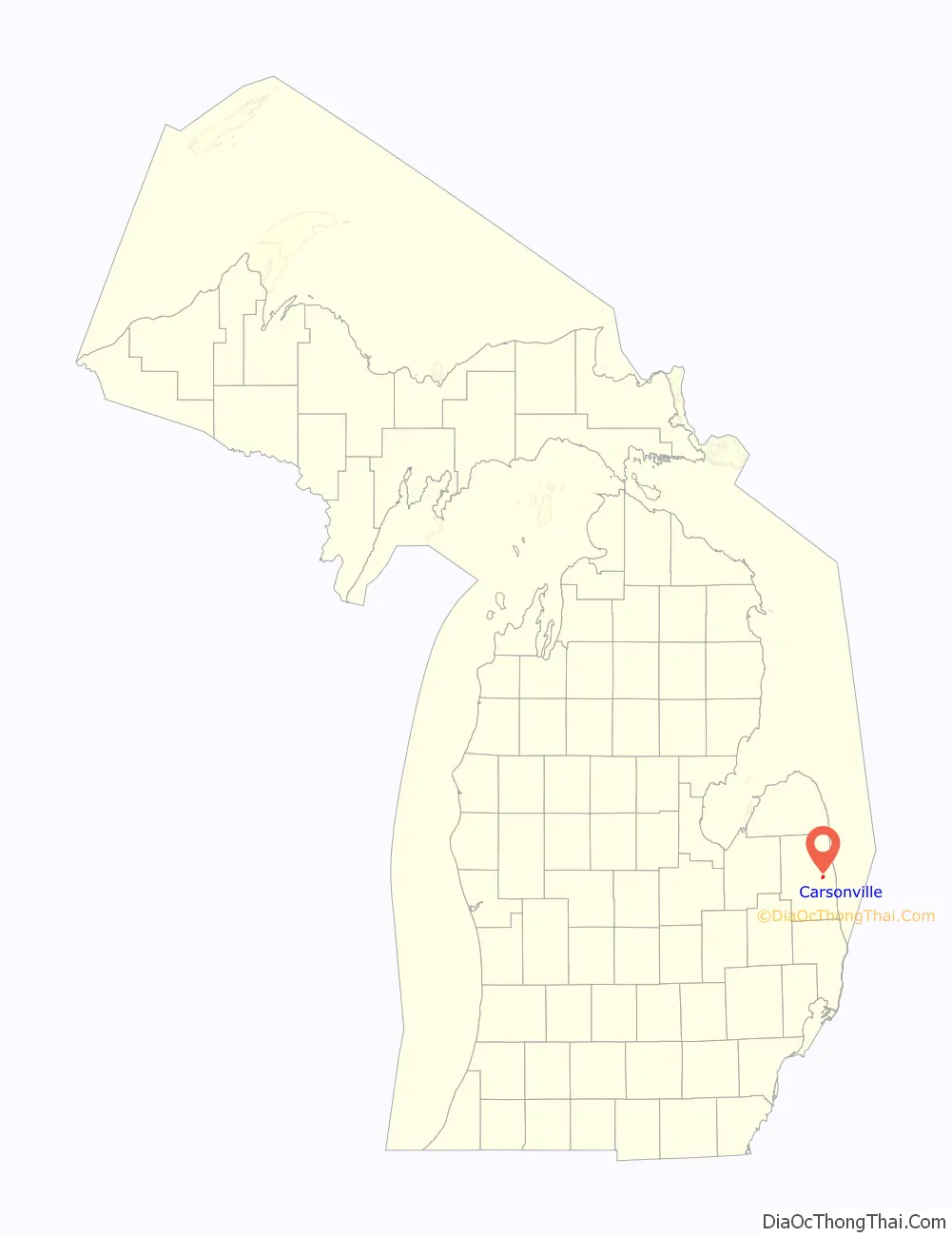
Carsonville Road Map
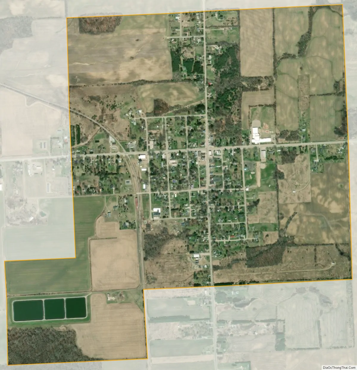
Carsonville city Satellite Map
Geography
According to the United States Census Bureau, the village has a total area of 1.13 square miles (2.93 km), all land.
See also
Map of Michigan State and its subdivision:- Alcona
- Alger
- Allegan
- Alpena
- Antrim
- Arenac
- Baraga
- Barry
- Bay
- Benzie
- Berrien
- Branch
- Calhoun
- Cass
- Charlevoix
- Cheboygan
- Chippewa
- Clare
- Clinton
- Crawford
- Delta
- Dickinson
- Eaton
- Emmet
- Genesee
- Gladwin
- Gogebic
- Grand Traverse
- Gratiot
- Hillsdale
- Houghton
- Huron
- Ingham
- Ionia
- Iosco
- Iron
- Isabella
- Jackson
- Kalamazoo
- Kalkaska
- Kent
- Keweenaw
- Lake
- Lake Hurron
- Lake Michigan
- Lake St. Clair
- Lake Superior
- Lapeer
- Leelanau
- Lenawee
- Livingston
- Luce
- Mackinac
- Macomb
- Manistee
- Marquette
- Mason
- Mecosta
- Menominee
- Midland
- Missaukee
- Monroe
- Montcalm
- Montmorency
- Muskegon
- Newaygo
- Oakland
- Oceana
- Ogemaw
- Ontonagon
- Osceola
- Oscoda
- Otsego
- Ottawa
- Presque Isle
- Roscommon
- Saginaw
- Saint Clair
- Saint Joseph
- Sanilac
- Schoolcraft
- Shiawassee
- Tuscola
- Van Buren
- Washtenaw
- Wayne
- Wexford
- Alabama
- Alaska
- Arizona
- Arkansas
- California
- Colorado
- Connecticut
- Delaware
- District of Columbia
- Florida
- Georgia
- Hawaii
- Idaho
- Illinois
- Indiana
- Iowa
- Kansas
- Kentucky
- Louisiana
- Maine
- Maryland
- Massachusetts
- Michigan
- Minnesota
- Mississippi
- Missouri
- Montana
- Nebraska
- Nevada
- New Hampshire
- New Jersey
- New Mexico
- New York
- North Carolina
- North Dakota
- Ohio
- Oklahoma
- Oregon
- Pennsylvania
- Rhode Island
- South Carolina
- South Dakota
- Tennessee
- Texas
- Utah
- Vermont
- Virginia
- Washington
- West Virginia
- Wisconsin
- Wyoming