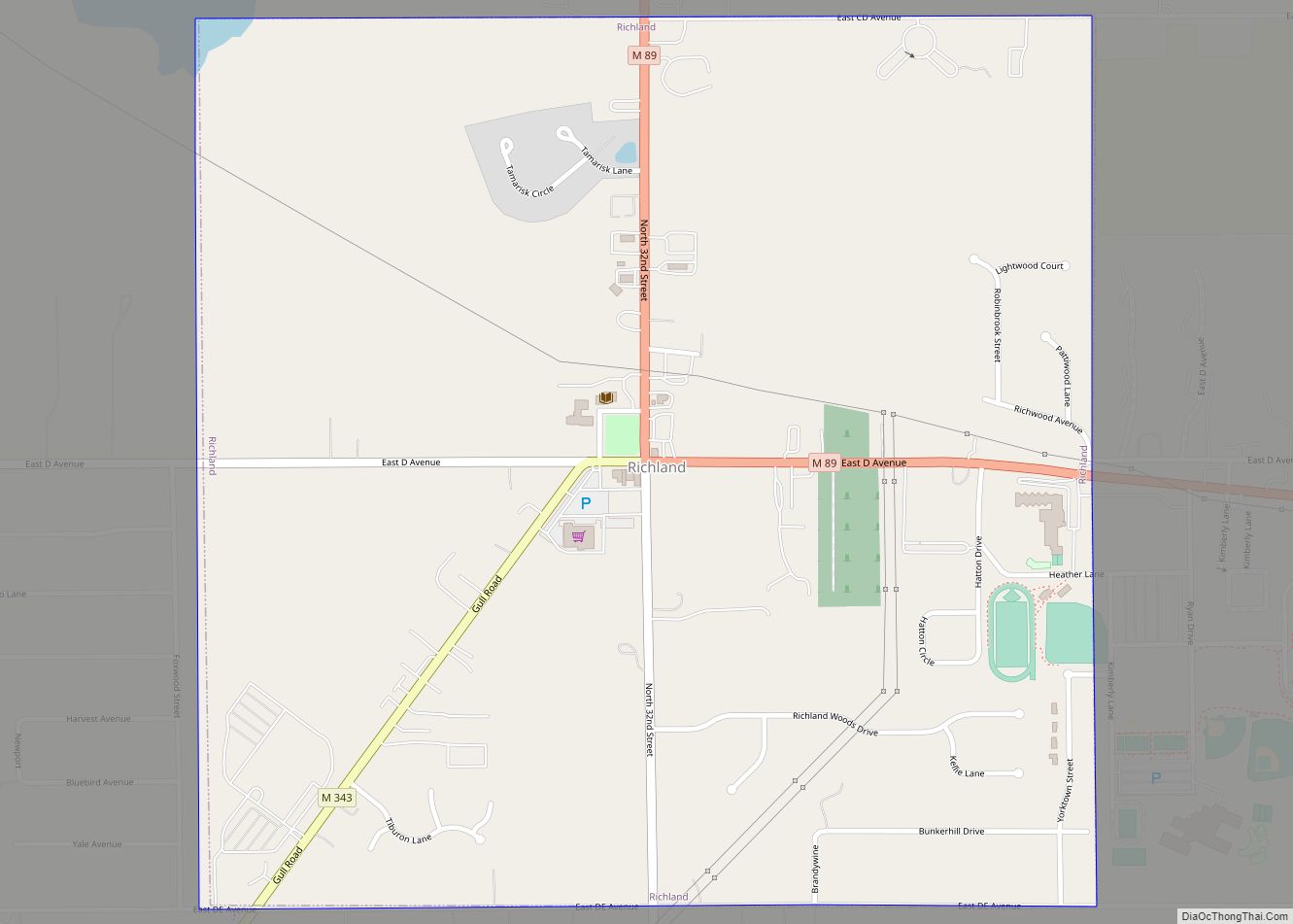
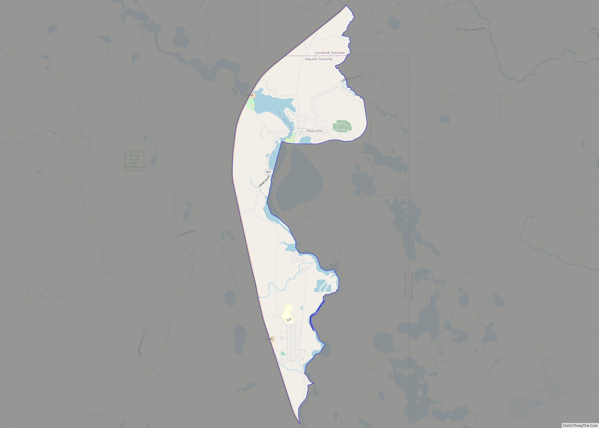
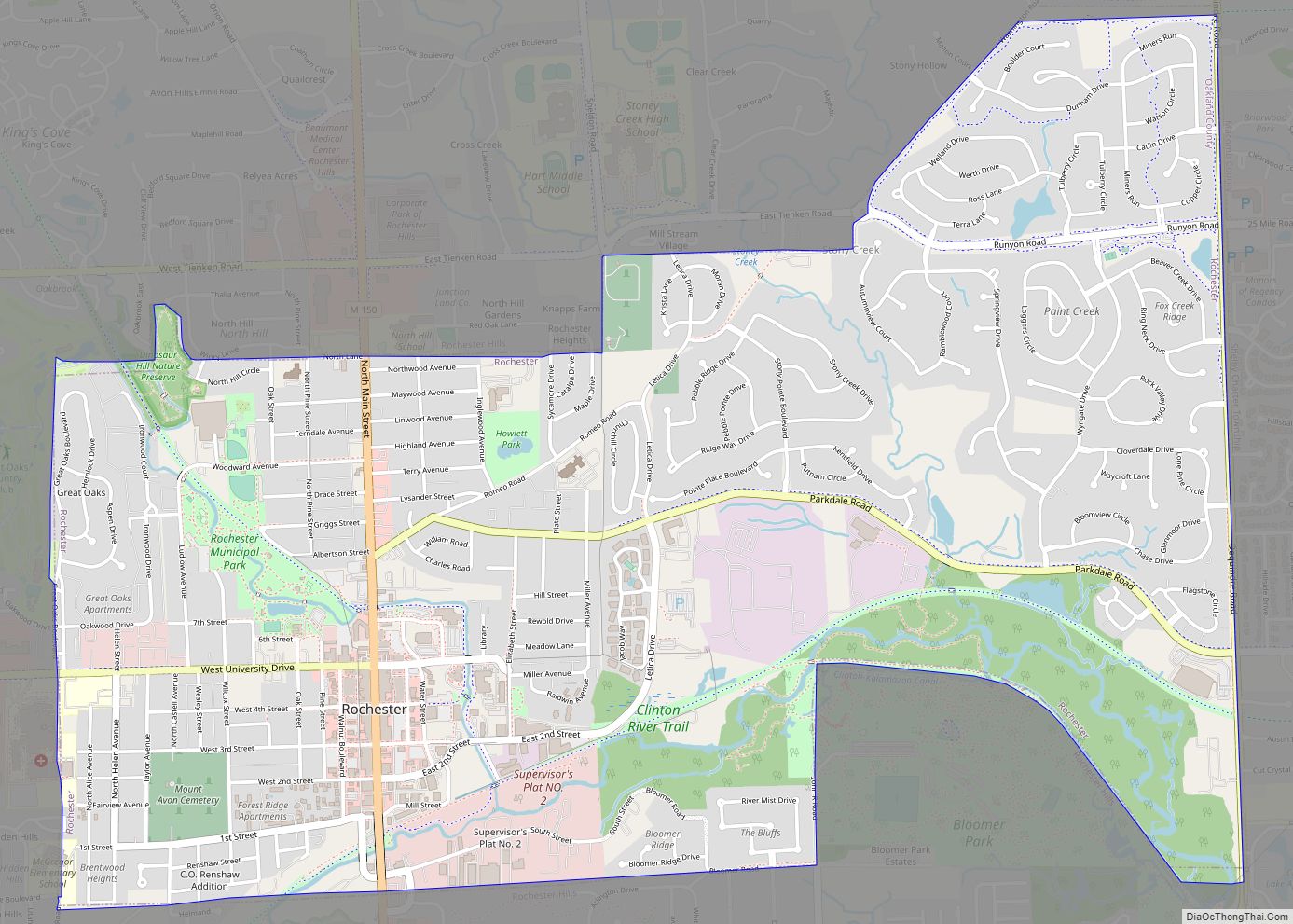
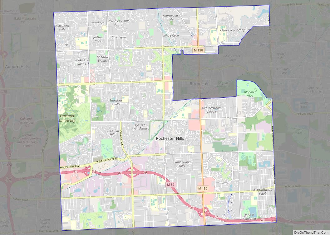
Map of Republic CDP, Michigan

Map of Republic CDP, Michigan

Republic is an unincorporated community in Marquette County in the U.S. state of Michigan. It is also a census-designated place (CDP) for statistical purposes and no legal status as an incorporated municipality. The CDP had a population of 470 at the 2020 census. The community is located mostly within Republic Township with a small portion … Read more

Map of Reese village

Map of Reese village

Reese is a village in Tuscola and Saginaw counties in the U.S. state of Michigan. Located almost entirely in Tuscola County’s Denmark Township, the village includes only a tiny portion of Blumfield Township in Saginaw County. The population was 1,454 at the 2010 census. Reese village overview: Name: Reese village LSAD Code: 47 LSAD Description: … Read more

Map of Reed City city

Map of Reed City

Reed City is a city in the U.S. state of Michigan. The population was 2,425 at the 2010 census. It is located in southwestern Osceola County and is the county seat. Reed City overview: Name: Reed City LSAD Code: 25 LSAD Description: city (suffix) State: Michigan County: Osceola County Elevation: 1,040 ft (317 m) Total Area: 2.13 sq mi … Read more

Map of Rochester city, Michigan

Map of Rochester city, Michigan

Rochester is a city in Oakland County in the U.S. state of Michigan. The population was 12,711 at the 2010 census. It is a northern suburb in Metro Detroit located 20 miles north of the city of Detroit. Rochester was the first European settlement in Oakland County when it was founded in 1818. It became … Read more

Map of Rochester Hills city

Map of Rochester Hills city

Rochester Hills is a city in Oakland County in the U.S. state of Michigan. As of the 2020 census, the city had a total population of 76,300. It is the 14th-largest city in Michigan. The area was first occupied by settlers of European descent in 1817, and organized as Avon Township in 1835. The City … Read more

Map of Robin Glen-Indiantown CDP

Map of Robin Glen-Indiantown CDP

Robin Glen-Indiantown CDP overview: Name: Robin Glen-Indiantown CDP LSAD Code: 57 LSAD Description: CDP (suffix) State: Michigan County: Saginaw County FIPS code: 2668990 Online Interactive Map Robin Glen-Indiantown online map. Source: Basemap layers from Google Map, Open Street Map (OSM), Arcgisonline, Wmflabs. Boundary Data from Database of Global Administrative Areas. Robin Glen-Indiantown location map. Where … Read more

Map of Riverview city, Michigan

Map of Riverview city, Michigan

Riverview is a city in Wayne County in the U.S. state of Michigan. The population was 12,486 at the 2010 census. Riverview is a suburb of Metro Detroit about 6 miles (9.7 km) south of the southern border of Detroit along the Detroit River. Riverview was incorporated as a village within Monguagon Township in 1923 and … Read more

Map of River Rouge city

Map of River Rouge city

River Rouge (/rɪˈvɜːr ruːʒ/, French: Rivière Rouge, lit. ‘red river’) is a city in Wayne County in the U.S. state of Michigan. The population was 7,224 at the 2020 census. The city is named after the River Rouge, which flows along the city’s northern border and into the Detroit River. The city includes the heavily industrialized … Read more

Map of Romulus city

Map of Romulus city, Michigan

Romulus is a city in Wayne County in the U.S. state of Michigan. The population was 23,989 at the 2010 census. Romulus is a western suburb of Metro Detroit and is also considered part of the Downriver collection of communities. It is most notable as the location of the Detroit Metropolitan Airport, a major hub … Read more

Map of Romeo village, Michigan

Map of Romeo village, Michigan

Romeo is a village in Macomb County in the U.S. state of Michigan. The population was 3,596 at the 2010 census. The village is situated at the southeast corner of Bruce Township, with a portion extending south into Washington Township. Armada Township is adjacent to the east and Ray Township to the southeast. Romeo is … Read more

Map of Rogers City city

Map of Rogers City

Rogers City is a city in the U.S. state of Michigan. The population was 2,827 at the 2010 census. It is the county seat of Presque Isle County. The city is adjacent to Rogers Township, but is politically independent. Rogers City is located on Lake Huron and is home to two salmon fishing tournaments. The … Read more

Map of Rockwood city, Michigan

Map of Rockwood city, Michigan

Rockwood is a city in southeastern Wayne County in the U.S. state of Michigan. The population was 3,289 at the 2010 census. Rockwood city overview: Name: Rockwood city LSAD Code: 25 LSAD Description: city (suffix) State: Michigan County: Wayne County Elevation: 584 ft (178 m) Land Area: 2.52 sq mi (6.53 km²) Water Area: 0.18 sq mi (0.47 km²) Population Density: 1,284.69/sq mi (496.08/km²) … Read more